Old Maps of Roanoke, Indiana for Academic Research
Study the evolution of Roanoke with 17 high-resolution historic maps. Whether you're teaching, researching, or modeling changes in land use, these maps provide essential visual documentation of urban, environmental, and geographic change.
- Analyze long-term change: Track patterns in development, transportation, and natural features.
- Ideal for environmental or urban studies: Support academic projects with primary historical map data.
- Use in the classroom or lab: Educators and researchers rely on these maps to bring historical context to life.
These maps are a powerful tool for teaching, research, and visualizing how Roanoke has changed over the decades.
Roanoke, IN maps
(17)- 1953 Map of Muncie, 1966 Print
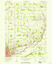
 1953 Muncie1966 Print · USGSIndiana and Ohio borderlands thrive in the early fifties, showing a landscape defined by manufacturing cities and an intensive railroad network. Genealogists can trace family roots across the Indiana-Ohio line through Muncie, Celina, and Portland via the Pennsylvania railroad.5 unique versions available
 - 1956 Map of Muncie
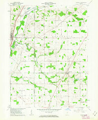
 1956 Muncie1956 Print · USGSEastern Indiana and western Ohio are shown at a peak of rail-driven industry in the mid-fifties. Genealogists and rail historians can trace the paths of the Pennsylvania RR through Muncie or locate landmarks like Lake Saint Marys (Grand Lake Reservoir) and Frances Slocum State Forest.
 - 1956 Map of Huntington, 1958 Print
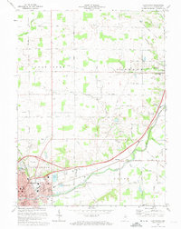
 1956 Huntington1958 Print · USGSHuntington and its surrounding townships are shown here in the mid-fifties, during a peak era of rail-and-river industrial activity. Genealogists and local historians can locate specific landmarks like the France Cem, St Marys Sch Ch, and the route of the old Erie Canal.
 - 1961 Map of Zanesville, 1963 Print
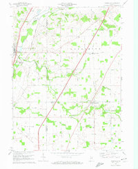
 1961 Zanesville1963 Print · USGSZanesville and Roanoke are documented in the early sixties at a fascinating intersection of colonial-era surveying and mid-century rail infrastructure. Genealogists and historians can locate the Old Indian Treaty Boundary and several family landmarks like Shank Cem and Monson Chapel.
 - 1972 Map of Huntington, 1974 Print
 1972 Huntington1974 Print · USGSNortheastern Indiana during the early seventies shows the city of Huntington expanding alongside active rail lines and historical landmarks. Genealogists and historians can trace the Old Indian Treaty Boundary and locate rural sites like Pleasant Chapel and France Cem.3 unique versions available
 - 1972 Map of Zanesville, 1974 Print
 1972 Zanesville1974 Print · USGSThe Indiana countryside near the Huntington, Allen, and Wells county lines is captured here in the early seventies. Trace the Old Indian Treaty Boundary or locate family landmarks like Hoverstock Cem and Temple Timbers Ch.
 - 1986 Map of Wabash
 1986 Wabash1986 Print · USGSThe Wabash Valley and surrounding Indiana farm country are captured here in the mid-eighties, showing a landscape reshaped by major reservoirs. Genealogists and local historians can trace the paths of the Old Indian Trail and the industrial reach of the Conrail line through towns like Lagro and Warren.2 unique versions available
 - 2010 Map of Huntington, 2010 Print
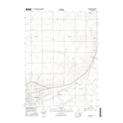
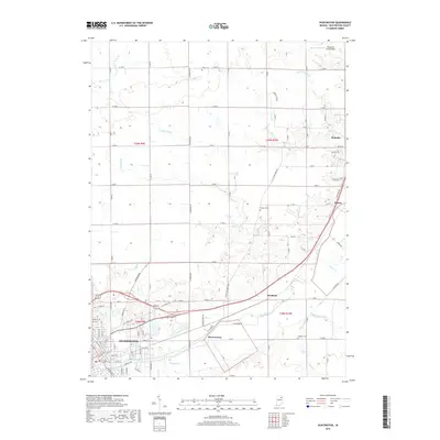
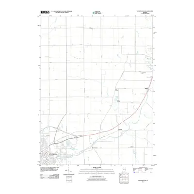 2010 Huntington2010 Print · USGSCovers Roanoke, including Huntington, Bowerstown, and other nearby areas
 - 2010 Map of Zanesville, 2010 Print
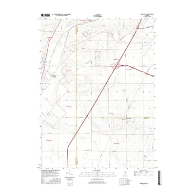
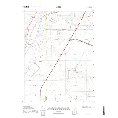
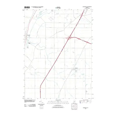 2010 Zanesville2010 Print · USGSCovers Roanoke, including Roanoke Station, Zanesville, and other nearby areas
 - 2013 Map of Zanesville, 2013 Print
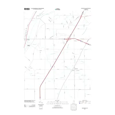 2013 Zanesville2013 Print · USGSCovers Roanoke, including Roanoke Station, Zanesville, and other nearby areas
 - 2013 Map of Huntington, 2013 Print
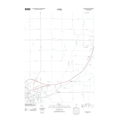 2013 Huntington2013 Print · USGSCovers Roanoke, including Huntington, Bowerstown, and other nearby areas
 - 2016 Map of Zanesville, 2016 Print
 2016 Zanesville2016 Print · USGSCovers Roanoke, including Roanoke Station, Zanesville, and other nearby areas
 - 2016 Map of Huntington, 2016 Print
 2016 Huntington2016 Print · USGSCovers Roanoke, including Huntington, Bowerstown, and other nearby areas
 - 2019 Map of Huntington, 2019 Print
 2019 Huntington2019 Print · USGSCovers Roanoke, including Huntington, Bowerstown, and other nearby areas
 - 2019 Map of Zanesville, 2019 Print
 2019 Zanesville2019 Print · USGSCovers Roanoke, including Roanoke Station, Zanesville, and other nearby areas
 - 2022 Map of Huntington, 2022 Print
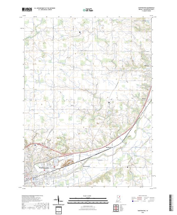 2022 Huntington2022 Print · USGSHuntington and the surrounding Wabash Valley farmlands are captured in this recent survey of the region's river-and-road network. Local historians can trace the development of Huntington and Roanoke, or locate smaller sites like Union Cem and Huntington University.
 - 2022 Map of Zanesville, 2022 Print
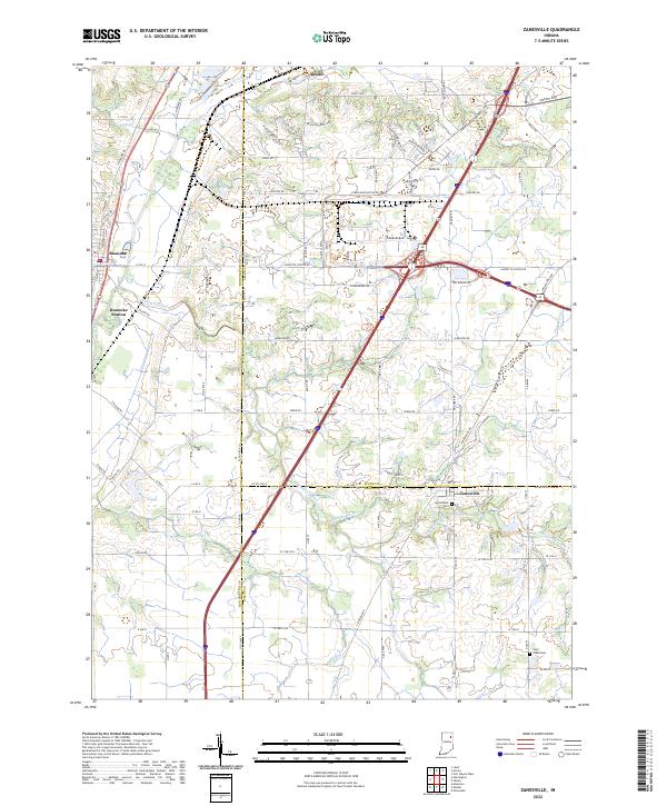 2022 Zanesville2022 Print · USGSNortheast Indiana in the early 2020s shows a landscape defined by traditional rural townships and a sophisticated network of drainage ditches. Family researchers can trace local roots through Hoverstock Cem and Saint Johns Cem near the settlements of Zanesville and Roanoke.
End of results
Showing maps 1-17 of 17
Top cities near Roanoke
- Fort Wayne historical maps
- Aboite historical maps
- Huntington historical maps
- Bluffton historical maps
- Columbia City historical maps
- Ossian historical maps
See more
Frequently asked questions
- What are the different types of historical maps available for Roanoke?
- What is the oldest map of Roanoke?
- Where can I purchase historical maps of Roanoke for my home or office?
- Where can I download high-res historical maps of Roanoke?
- Are there historical topographic maps available for Roanoke?
- Is there historical aerial imagery available for Roanoke?
- Where are historical maps of Roanoke sourced from?