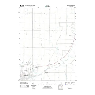
2010 Map of Huntington
USGS Topo · Published 2010About this map
The industrial and residential growth of Huntington anchors the southwest corner of this Indiana landscape, where the US Hwy 24 Byp meets the city’s residential streets. Water dominates the drainage pattern, with the Little River flowing east through Bowerstown and toward Mahon, joined by numerous tributaries like Bull Creek and Cow Creek. This network of waterways is supplemented by man-made alterations including the McPherren Ditch, North Beck Ditch, and Fahl Ditch, illustrating the intensive management of the local watershed for agricultural and civil use.
Find a feature on this map
52 named features on this map. Tap any name to fly to it.
Don’t see what you’re looking for? This feature index may not catch every label — zoom into the map to look around manually.
Map Details
Editions of this 2010 Huntington Map
This is the sole edition of this map. No revisions or reprints were ever made.
Other maps of this area

1950 · Andrews
USGS Topo · 1:24,000

1951 · Andrews
USGS Topo · 1:24,000

1952 · Majenica
USGS Topo · 1:24,000

1953 · Fort Wayne
USGS Topo · 1:250,000

1953 · Muncie
USGS Topo · 1:250,000

1955 · Markle
USGS Topo · 1:24,000

1955 · Bippus
USGS Topo · 1:24,000

1956 · Muncie
USGS Topo · 1:250,000

1956 · Fort Wayne
USGS Topo · 1:250,000

1956 · Huntington
USGS Topo · 1:24,000