Old Maps of Warren, Indiana for Hiking & Exploration
Hike through history with 11 historic maps of Warren. Explore old trails, ghost towns, and forgotten backroads — perfect for outdoor adventurers and local explorers.
- Rediscover forgotten places: Map out old mining camps, roads, and footpaths that no longer exist on modern maps.
- Layer with modern tools: Combine with LiDAR or satellite views to plan hikes through historical terrain.
- Made for exploration: Popular among hikers, overlanders, and local history lovers.
Use these maps to find adventure and explore the hidden past of Warren.
Warren, IN maps
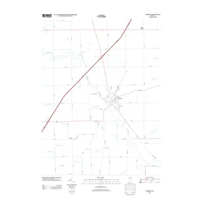
(11)- 1950 Map of Warren, 1965 Print
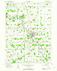 1950 Warren1965 Print · USGSMid-century Huntington County is defined by the river-and-rail intersection at Warren during a period of steady agricultural growth. Genealogists can trace family names and sites at Redmen Cem, Plum Tree, and the Water Methodist Home.
 - 1952 Map of Warren
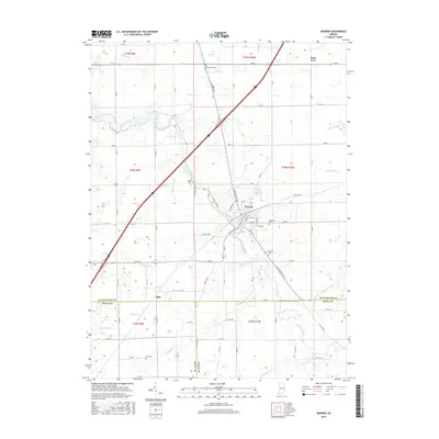
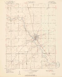 1952 Warren1952 Print · USGSNortheastern Indiana farmland surrounds the hub of Warren during the early fifties, as the river and rail economy remained the backbone of the county. Genealogists and local historians can locate early burial sites like Taylor Cem and Redmen Cem or trace the New York Chicago and St Louis rail line.2 unique versions available
 - 1953 Map of Muncie, 1966 Print
 1953 Muncie1966 Print · USGSIndiana and Ohio borderlands thrive in the early fifties, showing a landscape defined by manufacturing cities and an intensive railroad network. Genealogists can trace family roots across the Indiana-Ohio line through Muncie, Celina, and Portland via the Pennsylvania railroad.5 unique versions available
 - 1956 Map of Muncie
 1956 Muncie1956 Print · USGSEastern Indiana and western Ohio are shown at a peak of rail-driven industry in the mid-fifties. Genealogists and rail historians can trace the paths of the Pennsylvania RR through Muncie or locate landmarks like Lake Saint Marys (Grand Lake Reservoir) and Frances Slocum State Forest.
 - 1969 Map of Warren, 1971 Print
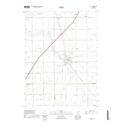
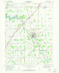 1969 Warren1971 Print · USGSWarren and its rural surroundings are captured in the late sixties, showing a landscape defined by the Salamonie River and local petroleum extraction. Researchers can trace family history at West Union Cem or locate the old Airfield and Milo settlement along the rail lines.2 unique versions available
 - 1986 Map of Wabash
 1986 Wabash1986 Print · USGSThe Wabash Valley and surrounding Indiana farm country are captured here in the mid-eighties, showing a landscape reshaped by major reservoirs. Genealogists and local historians can trace the paths of the Old Indian Trail and the industrial reach of the Conrail line through towns like Lagro and Warren.2 unique versions available
 - 2010 Map of Warren, 2010 Print
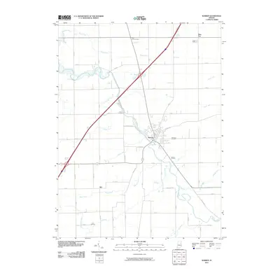 2010 Warren2010 Print · USGSCovers Warren, including Plum Tree, Milo, and other nearby areas
 - 2013 Map of Warren, 2013 Print
 2013 Warren2013 Print · USGSCovers Warren, including Plum Tree, Milo, and other nearby areas
 - 2016 Map of Warren, 2016 Print
 2016 Warren2016 Print · USGSCovers Warren, including Plum Tree, Milo, and other nearby areas
 - 2019 Map of Warren, 2019 Print
 2019 Warren2019 Print · USGSCovers Warren, including Plum Tree, Milo, and other nearby areas
 - 2022 Map of Warren, 2022 Print
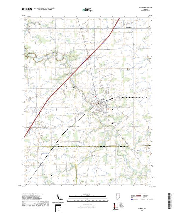 2022 Warren2022 Print · USGSIndiana's Huntington and Wells counties are captured here as they appeared in the early 2020s. Genealogists can locate family burial sites at Woodlawn Cem and Red Men Cem while tracing the rural road network connecting Warren and Plum Tree.
End of results
Showing maps 1-11 of 11
Top cities near Warren
- Marion historical maps
- Huntington historical maps
- Bluffton historical maps
- Hartford City historical maps
- Gas City historical maps
- Upland historical maps
See more
Frequently asked questions
- What are the different types of historical maps available for Warren?
- What is the oldest map of Warren?
- Where can I purchase historical maps of Warren for my home or office?
- Where can I download high-res historical maps of Warren?
- Are there historical topographic maps available for Warren?
- Is there historical aerial imagery available for Warren?
- Where are historical maps of Warren sourced from?