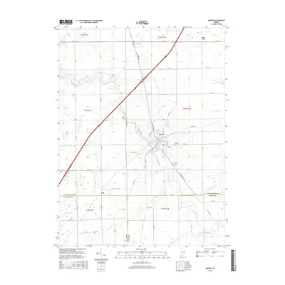
2016 Map of Warren
USGS Topo · Published 2016About this map
The Salamonie River winds through the heart of this Huntington County landscape, anchoring the town of Warren, where a dense street grid meets the river's bend. This 2016 survey captures a primarily agricultural region defined by an extensive network of drainage features, including Palmer Ditch, Detamore Ditch, and Ellis Ditch, which illustrate the long-term modification of the Indiana plains for farming. Small rural clusters like Plum Tree and Milo sit at key road intersections, serving as markers of earlier settlement patterns in the tri-county area near the borders of Grant and Wells counties.
Find a feature on this map
85 named features on this map. Tap any name to fly to it.
Don’t see what you’re looking for? This feature index may not catch every label — zoom into the map to look around manually.
Map Details
Editions of this 2016 Warren Map
This is the sole edition of this map. No revisions or reprints were ever made.
Other maps of this area

1950 · Andrews
USGS Topo · 1:24,000

1950 · Warren
USGS Topo · 1:24,000

1950 · Mount Etna
USGS Topo · 1:24,000

1951 · Mount Etna
USGS Topo · 1:24,000

1951 · Andrews
USGS Topo · 1:24,000

1952 · Warren
USGS Topo · 1:24,000

1952 · Majenica
USGS Topo · 1:24,000

1953 · Muncie
USGS Topo · 1:250,000

1955 · Markle
USGS Topo · 1:24,000

1956 · Muncie
USGS Topo · 1:250,000