Old Maps of Seymour, Indiana for Metal Detecting
Plan your next treasure hunt with 16 historic maps of Seymour. Find old homesites, ghost towns, trails, and gathering spots that may be lost to time — perfect for identifying promising metal detecting locations.
- Locate forgotten sites: Uncover places like long-lost settlements, abandoned rail lines, or gathering spots.
- Plan better hunts: Use map overlays combined with LiDAR or satellite views to narrow in on historically rich areas.
- Made for detectorists: Thousands of hobbyists use these maps to discover relics, coins, and hidden history.
Use these historic maps to boost your research and find new opportunities beneath the surface of Seymour.
Seymour, IN maps
(16)- 1956 Map of Louisville, 1971 Print
 1956 Louisville1971 Print · USGSThe Ohio River valley and the Kentucky Bluegrass are captured here during a period of rapid mid-century growth and industrial activity. Genealogists and historians can trace rail-centered towns and military land use at Fort Knox and the Jefferson Proving Ground.2 unique versions available
 - 1958 Map of Seymour, 1960 Print
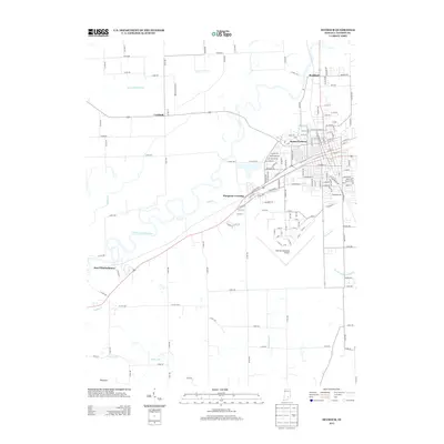
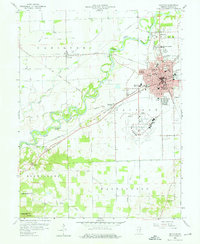 1958 Seymour1960 Print · USGSIn the late fifties, the railway crossroads at Seymour flourished alongside the East Fork White River. Genealogists and historians can trace the Old Indian Treaty Boundary and locate numerous family burial sites like Crane Cem and Durland Cem.5 unique versions available
 - 1959 Map of Chestnut Ridge, 1962 Print
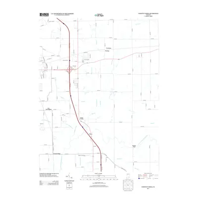
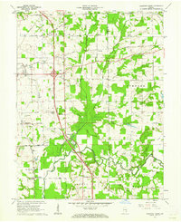 1959 Chestnut Ridge1962 Print · USGSJackson County in the late fifties was a landscape of crossroads and river bends defined by historical markers like the Treaty Boundary. Researchers can trace old family sites at New Farmington, visit New Hope Ch, or follow the rail lines of the Baltimore and Ohio RR.3 unique versions available
 - 1964 Map of Louisville
 1964 Louisville1964 Print · USGSThe Ohio River valley and Kentucky Bluegrass are captured in the mid-1960s, showing a region balanced between industrial growth and its agrarian roots. Genealogists and historians can trace the development of county seats like Shelbyville and Paris, or locate established institutions such as Georgetown College and Bernheim Forest.
 - 1986 Map of Madison
 1986 Madison1986 Print · USGSSouthern Indiana and Northern Kentucky are shown here in the mid-eighties, centered on the river corridor and the sprawling Jefferson Proving Ground. Genealogists and historians can trace rail lines like the Seaboard System and locate river towns from Madison to Bethlehem.
 - 1990 Map of Madison, 1991 Print
 1990 Madison1991 Print · USGSThe Ohio River valley and the southern Indiana plains are documented here in the final decade of the twentieth century. Genealogists and historians can trace family-named crossroads and established rail towns like Dudleytown, Austin, and Crothersville along the P C RR line.
 - 2010 Map of Seymour, 2010 Print
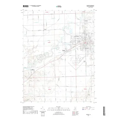
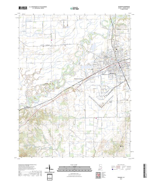
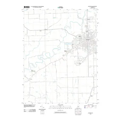 2010 Seymour2010 Print · USGSCovers Seymour, including Hangman Crossing, New Elizabethtown, and other nearby areas
 - 2010 Map of Chestnut Ridge, 2010 Print
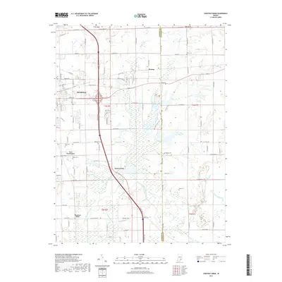
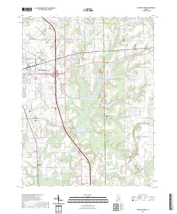
 2010 Chestnut Ridge2010 Print · USGSCovers Seymour, including Kriete Corner, New Farmington, and other nearby areas
 - 2013 Map of Chestnut Ridge, 2013 Print
 2013 Chestnut Ridge2013 Print · USGSCovers Seymour, including Kriete Corner, New Farmington, and other nearby areas
 - 2013 Map of Seymour, 2013 Print
 2013 Seymour2013 Print · USGSCovers Seymour, including Hangman Crossing, New Elizabethtown, and other nearby areas
 - 2016 Map of Seymour, 2016 Print
 2016 Seymour2016 Print · USGSCovers Seymour, including Hangman Crossing, New Elizabethtown, and other nearby areas
 - 2016 Map of Chestnut Ridge, 2016 Print
 2016 Chestnut Ridge2016 Print · USGSCovers Seymour, including Kriete Corner, New Farmington, and other nearby areas
 - 2019 Map of Chestnut Ridge, 2019 Print
 2019 Chestnut Ridge2019 Print · USGSCovers Seymour, including Kriete Corner, New Farmington, and other nearby areas
 - 2019 Map of Seymour, 2019 Print
 2019 Seymour2019 Print · USGSCovers Seymour, including Hangman Crossing, New Elizabethtown, and other nearby areas
 - 2022 Map of Seymour, 2022 Print
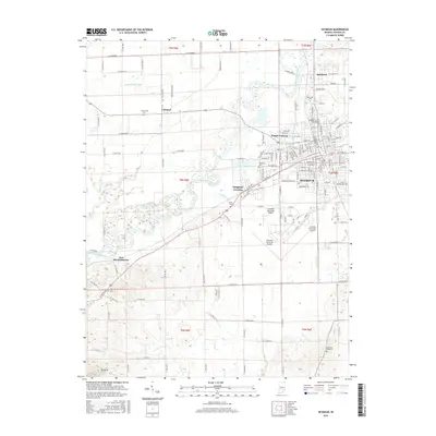
 2022 Seymour2022 Print · USGSJackson County is captured in the early 2020s, showing the established city of Seymour alongside the agricultural plains of the East Fork White River. Researchers can locate several burial sites like Riverview Cem and Crane Cem, or trace the development of Rockford and Cortland.
 - 2022 Map of Chestnut Ridge, 2022 Print
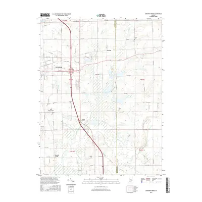
 2022 Chestnut Ridge2022 Print · USGSThe outskirts of Seymour and the rural stretches of Jackson County are captured here in the early 2020s. Genealogists and local researchers can locate numerous family-named burial sites like Gardner Cem and Myers Cem, or trace the path of the Vernon Fork Muscatatuck River.
End of results
Showing maps 1-16 of 16
Top cities near Seymour
- Columbus historical maps
- Austin historical maps
- Brownstown historical maps
- Crothersville historical maps
- Elizabethtown historical maps
- Jonesville historical maps
Top neighborhoods of Seymour
Frequently asked questions
- What are the different types of historical maps available for Seymour?
- What is the oldest map of Seymour?
- Where can I purchase historical maps of Seymour for my home or office?
- Where can I download high-res historical maps of Seymour?
- Are there historical topographic maps available for Seymour?
- Is there historical aerial imagery available for Seymour?
- Where are historical maps of Seymour sourced from?