2020s Maps of Knox County, Indiana
Explore 27 historic maps of Knox County from the 2020s. These maps offer a rare glimpse into what life looked like during the 2020s — showing old roads, neighborhoods, homes, and landmarks that have changed or disappeared over time.
Whether you're researching your family's past, planning a metal detecting trip, or studying how Knox County's landscape evolved across the 2020s, these high-resolution maps are a powerful tool for exploring the history of this region.
- Focus on a specific era: All maps on this page are from the 2020s, giving you a focused view of this time period.
- See what’s changed: Compare century-old streets, trails, and buildings to today's modern landscape using overlays and satellite layers.
- Research with precision: Use these maps for genealogy, historical research, land use analysis, or educational projects.
- View, download, or print: Maps are fully viewable online in high resolution, and can be downloaded or printed for your own records.
Start exploring Knox County's history through authentic maps from the 2020s. This is your window into the past.
Knox County, IN maps
(27)- 2021 Map of Saint Francisville, 2021 Print
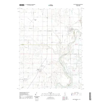 2021 Saint Francisville2021 Print · USGSThe Illinois-Indiana border along the Wabash River is captured here during the early twenty-first century. Researchers can trace local lineage across numerous burial sites such as Allendale Cem or locate the rural crossroads of Adams Corner and St. Francisville.
 - 2021 Map of Heathsville, 2021 Print
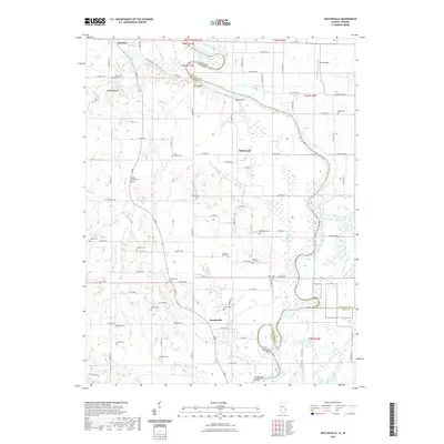 2021 Heathsville2021 Print · USGSThe riverborder between Illinois and Indiana comes alive here in the early twenty-first century, showing the rural communities along the Wabash River. Genealogists can trace family names across over a dozen local sites like Lackey Cem, Milam Cem, and Johnson Cem.
 - 2021 Map of Mount Carmel, 2021 Print
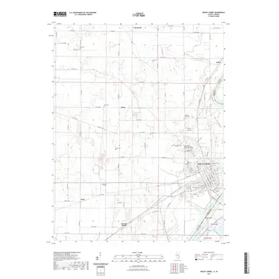 2021 Mount Carmel2021 Print · USGSMount Carmel and the Wabash River valley are documented here in the early twenty-first century, showing the intersection of river geography and rural settlement. Genealogists can locate over ten distinct burial sites including Rose Hill Cem, Nye Chapel Cem, and Potters Field Cem.
 - 2021 Map of Russellville, 2021 Print
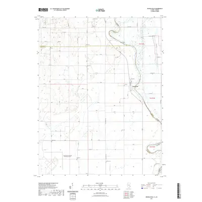 2021 Russellville2021 Print · USGSThe Wabash River valley comes to life in this contemporary survey of the Illinois and Indiana borderlands. Researchers can trace dozens of rural burial sites like Saint Paul Cem and Centerville Cem or explore the riverfront at Russellville.
 - 2022 Map of Carlisle, 2022 Print
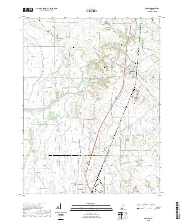 2022 Carlisle2022 Print · USGSSullivan and Knox counties at the start of the 2020s show a landscape deeply rooted in its pioneer-era cemeteries and agricultural drainage networks. Genealogists can trace family names at Carlisle Old Town Cem, Ledgerwood Cem, or along the historic S Old Buffalo Trl.
 - 2022 Map of Decker, 2022 Print
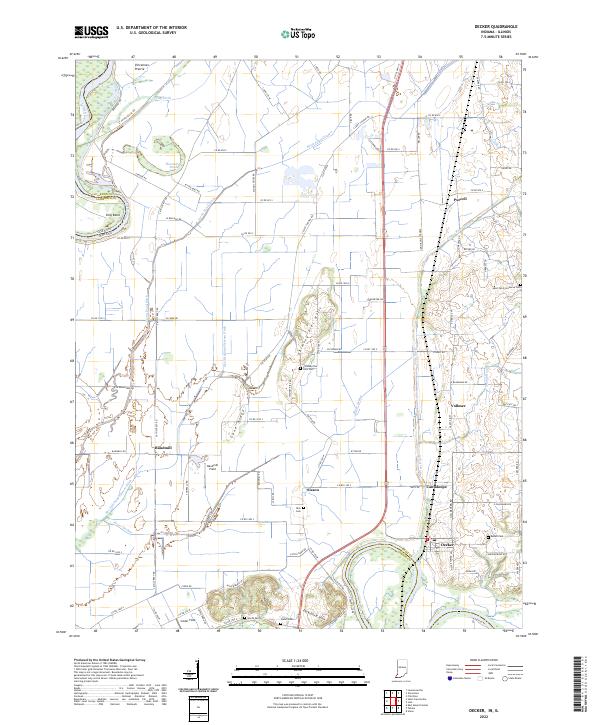 2022 Decker2022 Print · USGSSouthern Knox County at the turn of the 2020s shows a landscape of river-fed agriculture and small crossroads settlements. Genealogists can locate family burial grounds like Dick Cem and Warth Cem or trace the rail-and-river geography of Decker and Purcell.
 - 2022 Map of Lyons, 2022 Print
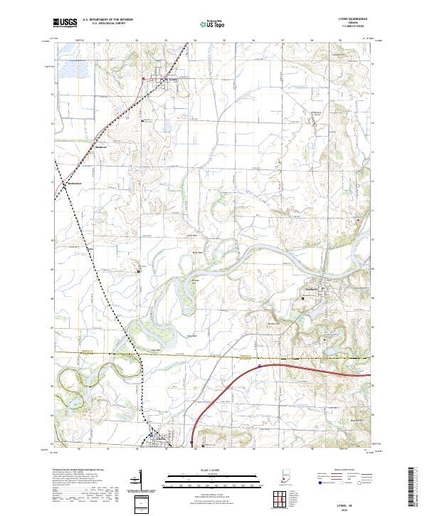 2022 Lyons2022 Print · USGSIndiana's fertile river lowlands are meticulously detailed in this recent survey of the Greene, Knox, and Daviess county borders. Genealogists can locate family burial sites at Mount Zion Cem and Old Slinkard Cem, or trace the rural landscape around Newberry and Lyons.
 - 2022 Map of Oaktown, 2022 Print
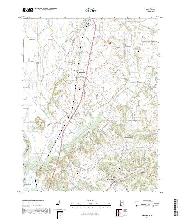 2022 Oaktown2022 Print · USGSKnox County, Indiana, is captured here in the early twenty-first century, showing a landscape of fertile prairies and traditional settlements. Researchers can trace family history through local sites like Charley Cem, Ocheltree Cem, and the village of Emison.
 - 2022 Map of Patoka, 2022 Print
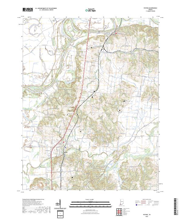 2022 Patoka2022 Print · USGSIndiana's river bottomlands are captured here in the early twenty-first century as the White River and Patoka River converge. Researchers can locate numerous family burial grounds like Milburn Cem and Hitch Cem, or trace landmarks like Hull Airport and Bald Hill.
 - 2022 Map of Plainville, 2022 Print
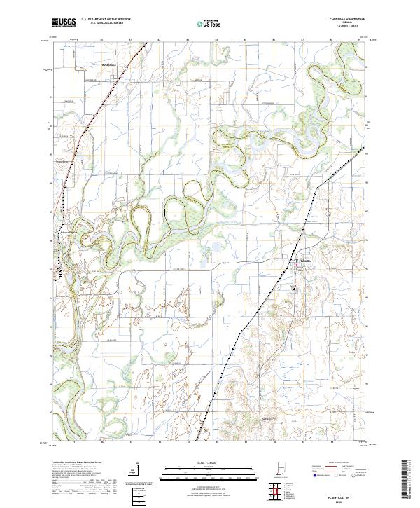 2022 Plainville2022 Print · USGSSouthern Indiana bottomlands along the White River come into focus in this recent survey of the border between Daviess and Knox counties. Researchers can trace the drainage of the fertile valley through features like Killion Canal, Plainville Cemetery, and Harbstreit Hill.
 - 2022 Map of Bucktown, 2022 Print
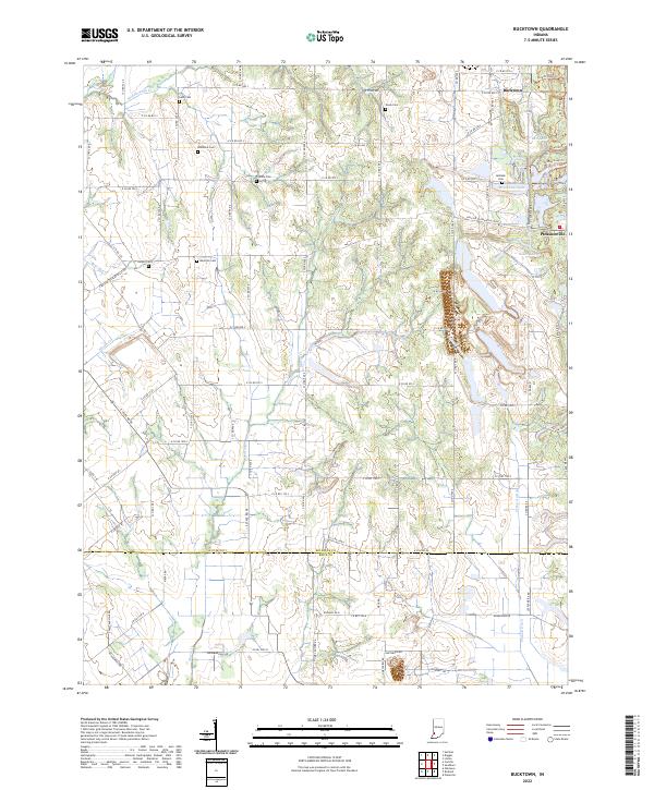 2022 Bucktown2022 Print · USGSThe Sullivan and Knox county line comes into focus in this contemporary survey of rural Indiana. Genealogists can locate several family burial grounds including Skidmore Cem and Benefiel Cem near the settlements of Bucktown and Pleasantville.
 - 2022 Map of Sandborn, 2022 Print
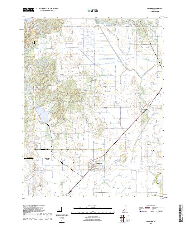 2022 Sandborn2022 Print · USGSIndiana's farm country and the intricate drainage of the Wabash River basin are captured here in the early twenty-first century. Genealogists and local historians can locate Sandborn Cem, trace the rail-adjacent town of Marco, or explore the Cane Green Bottom wetlands.
 - 2022 Map of Iona, 2022 Print
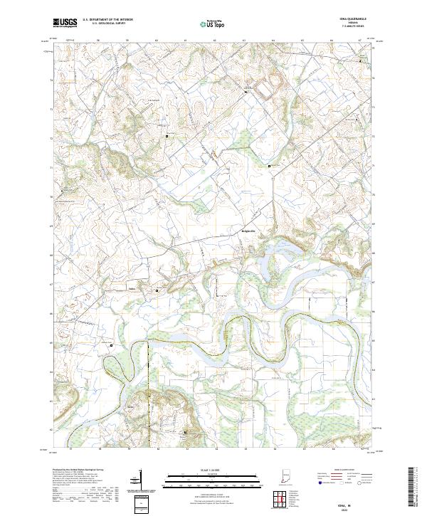 2022 Iona2022 Print · USGSThe rural borders of Knox, Gibson, and Pike counties come into focus in this contemporary survey of the White River valley. Genealogists can locate numerous historic burial sites such as Odd Fellows Cem and Saint Peter Lutheran Cem near the settlements of Iona and Giro.
 - 2022 Map of Wheatland, 2022 Print
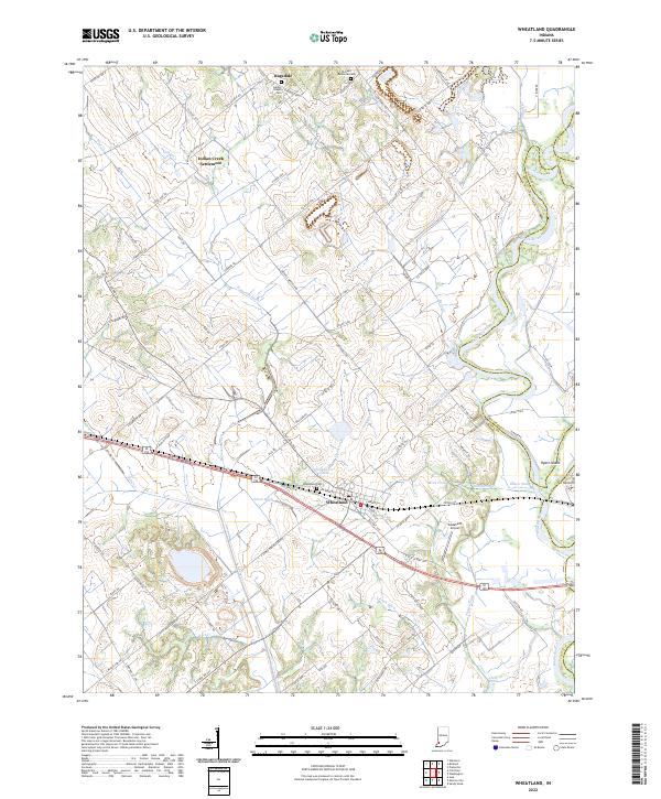 2022 Wheatland2022 Print · USGSWheatland and the surrounding Knox County bottomlands are mapped here during the early twenty-first century as the White River maintains its winding course. Researchers can trace the heritage of local family names and small communities through sites like Indian Creek Settlement, Asbury Chapel Cem, and Ghost Hollow.
 - 2022 Map of Bicknell, 2022 Print
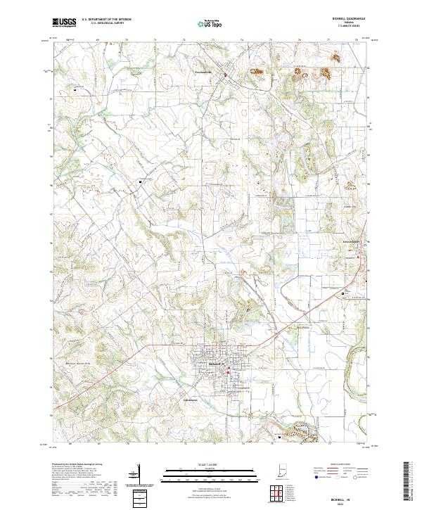 2022 Bicknell2022 Print · USGSThe northern reaches of Knox County come into focus in this contemporary survey of the Bicknell region. Family researchers can trace burial sites at Walker Cem and Odd Fellows Cem, or locate landmarks like Barefoot Nation Hills and the White River.
 - 2022 Map of Union, 2022 Print
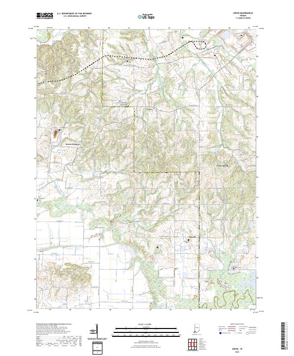 2022 Union2022 Print · USGSIndiana's Gibson and Pike counties meet along the meandering Patoka River in this detailed modern topographic survey. Researchers can locate numerous historic burial grounds including Bethlehem Cem, Frederick Cem, and the Richardson Cem while tracing the rural settlements of Union and Oatsville.
 - 2022 Map of East Mount Carmel, 2022 Print
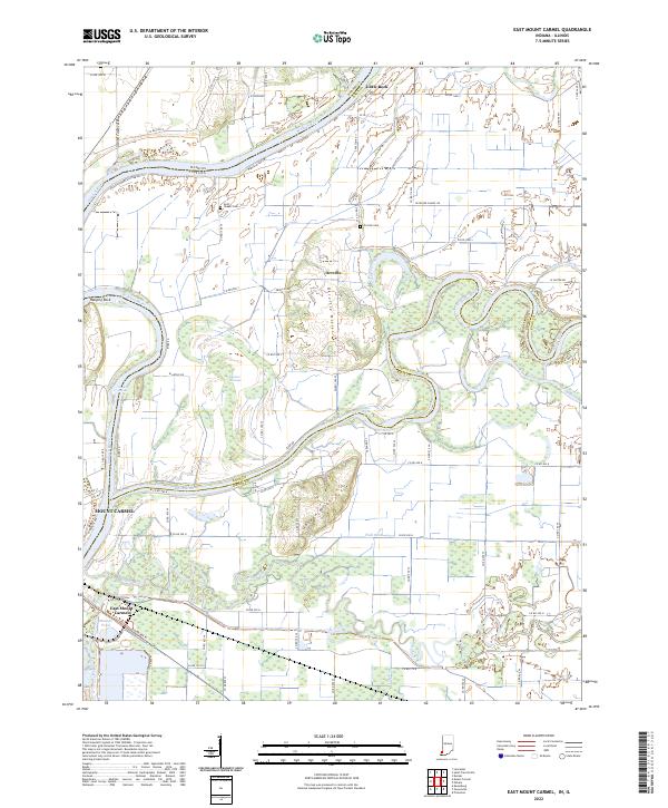 2022 East Mount Carmel2022 Print · USGSThe Indiana-Illinois borderlands come into focus in this recent survey of the Wabash and White River confluence. Genealogists and local researchers can trace the vicinity of East Mount Carmel and find landmarks like Scott Chapel Cem, Hanging Rock, and Orrville.
 - 2022 Map of Sandy Hook, 2022 Print
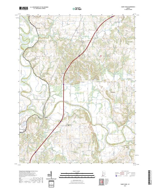 2022 Sandy Hook2022 Print · USGSSouthwestern Indiana's river junctions and rural hamlets are documented in this recent survey of the White River valley. Genealogists and local researchers can locate family sites near Rogers, Cumback, and several rural burial grounds like Arnold Cem and Bethel Cem.
 - 2022 Map of Washington, 2022 Print
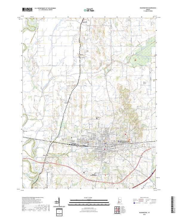 2022 Washington2022 Print · USGSDaviess County during the early twenty-first century reveals a landscape defined by the intersection of the Washington city grid and the White River basin. Researchers can trace family history at Hawkins Cem or Colbert Cem and locate rural landmarks like Sefert Hill.
 - 2022 Map of Monroe City, 2022 Print
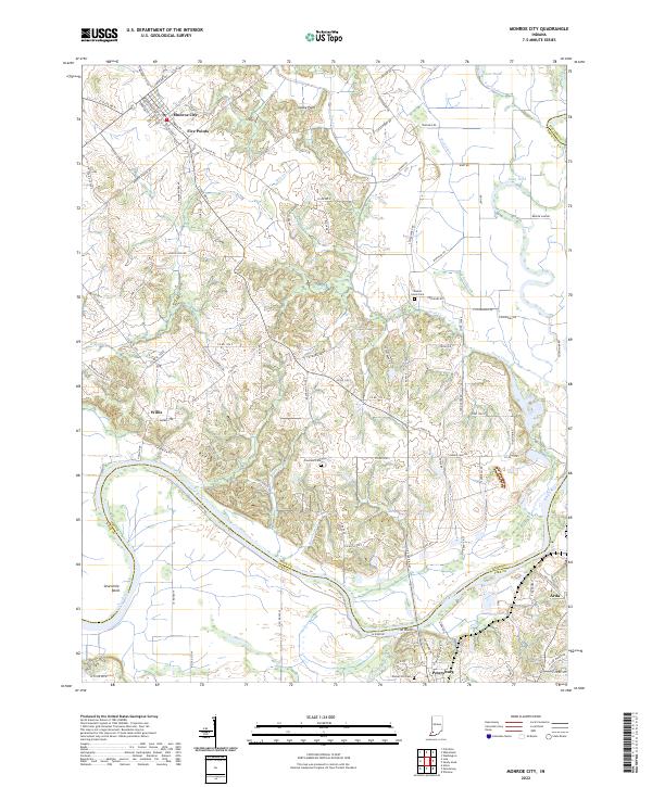 2022 Monroe City2022 Print · USGSMonroe City and the winding White River valley are documented here in the early 2020s, showing a landscape shaped by water and agriculture. Genealogists and local researchers can locate quiet landmarks like Walnut Grove Cem, The Bluffs, and the small settlement of Willis.
 - 2022 Map of Fritchton, 2022 Print
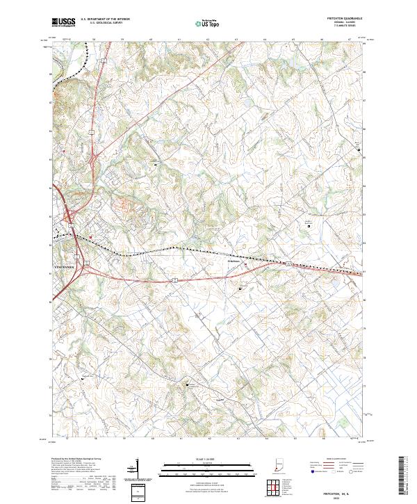 2022 Fritchton2022 Print · USGSKnox County, Indiana, is captured here in its modern agricultural and residential state, just east of the historic Wabash River. Local researchers can trace numerous family burial sites including the Indiana Presbyterian Cem, Alton Cem, and the small settlement of Verne.
 - 2022 Map of Epsom, 2022 Print
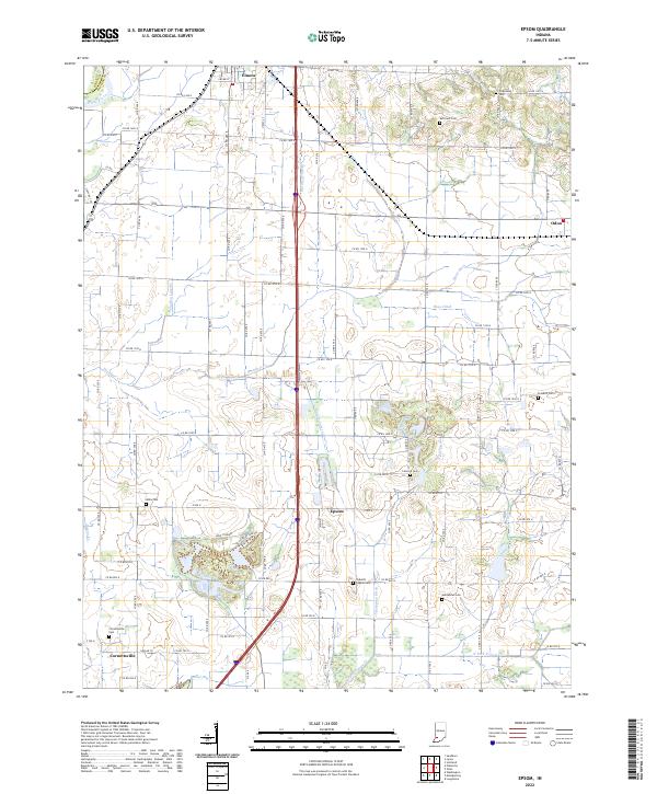 2022 Epsom2022 Print · USGSDaviess County farmland in the early 2020s is shaped by a complex system of drainage ditches and rural settlements. Researchers can locate many local burial sites, including Talbotts Chapel Cem and Cornettsville Cem, along with the crossroads of Epsom.
 - 2022 Map of Vincennes, 2022 Print
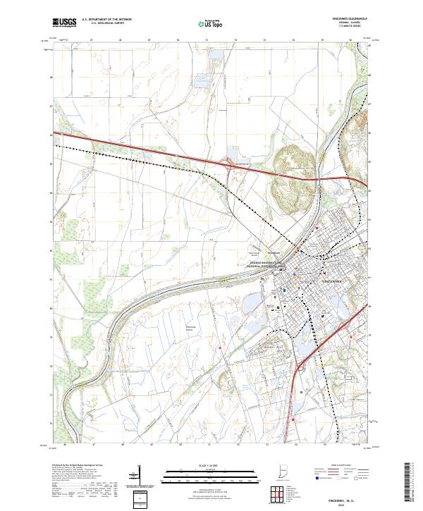 2022 Vincennes2022 Print · USGSVincennes and the Wabash River frontier are shown here in 2022, balancing its deep history with modern infrastructure. Researchers can trace local heritage at Vincennes University, Old Cathedral, and the Knox County Court House.
 - 2024 Map of Mount Carmel, 2024 Print
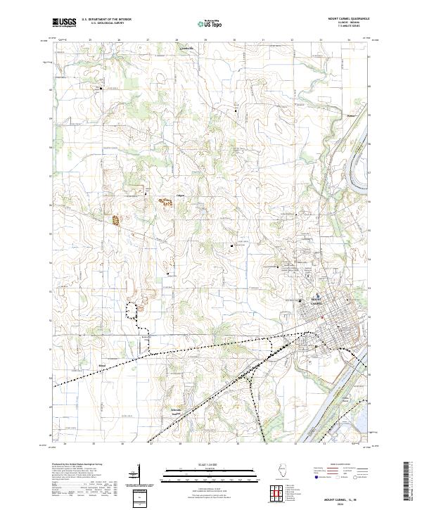 2024 Mount Carmel2024 Print · USGSThe Illinois-Indiana border comes alive in the mid-2020s, showing the settled grid of Mount Carmel alongside the Wabash River. Genealogists can trace family landmarks like Rose Hill Cem and the rural crossroads of Friendsville.
 - 2024 Map of Russellville, 2024 Print
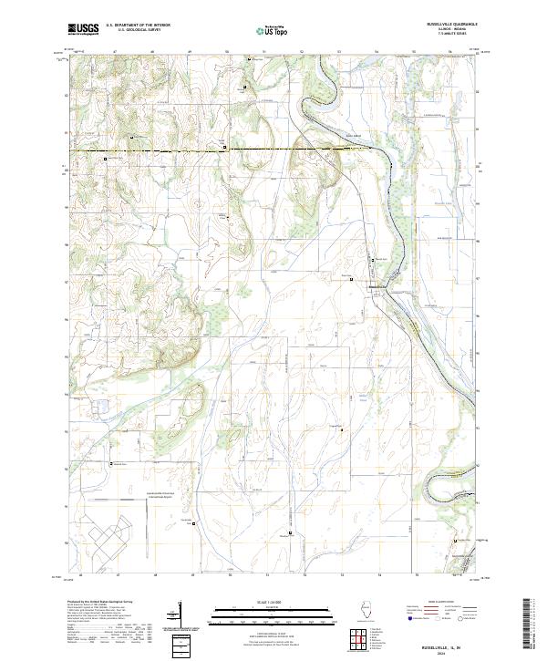 2024 Russellville2024 Print · USGSThe Illinois-Indiana borderlands along the Wabash River are captured here in the early twenty-first century. Researchers can trace family history through over a dozen rural burial grounds like Saint Paul Cem and Centerville Cem, or locate the riverfront streets of Russellville.
Showing maps 1-25 of 27
Top cities of Knox County
- Vincennes historical maps
- Bicknell historical maps
- Busseron historical maps
- Oaktown historical maps
- Monroe City historical maps
- Wheatland historical maps
See more
Frequently asked questions
- What are the different types of historical maps available for Knox County?
- What is the oldest map of Knox County?
- Where can I purchase historical maps of Knox County for my home or office?
- Where can I download high-res historical maps of Knox County?
- Are there historical topographic maps available for Knox County?
- Is there historical aerial imagery available for Knox County?
- Where are historical maps of Knox County sourced from?