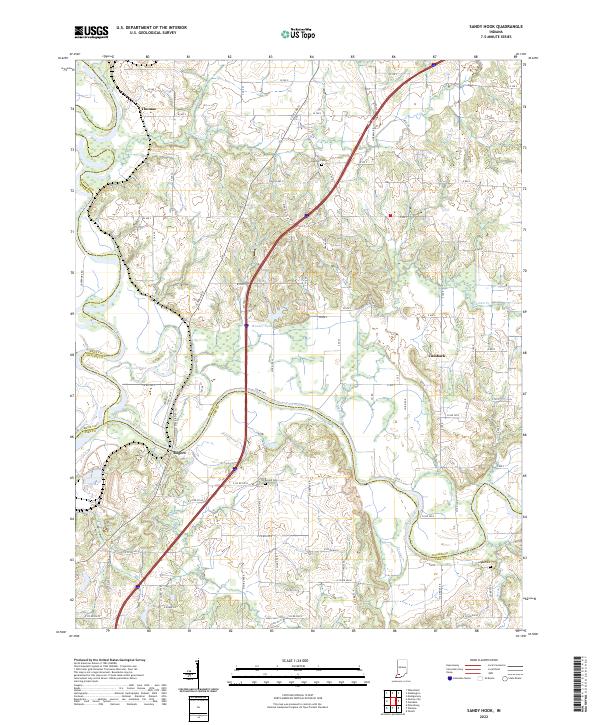
2022 Map of Sandy Hook
USGS Topo · Published 2022About this map
The White River and its East Fork carve a winding course through this Daviess County landscape, meeting near the community of Rogers. The terrain is defined by a dense network of watercourses, including Veale Cr, Mud Creek, and Aikman Cr, which irrigate the agricultural plots of southwest Indiana. Small rural settlements like Thomas and Cumback anchor the countryside, while elevated landmarks such as Alexander Hill Rd provide relief against the river bottomlands. For family historians, several burial grounds are preserved across these townships, including Bethel Cem, Arnold Cem, and Logan Cem. The intersection of modern infrastructure and traditional land divisions is evident where Interstate 69 cuts north-south through the center of the sheet, passing near Wonder Pond and bypassing the older river-oriented hamlet of Rogers.
Find a feature on this map
62 named features on this map. Tap any name to fly to it.
Don’t see what you’re looking for? This feature index may not catch every label — zoom into the map to look around manually.
Map Details
Editions of this 2022 Sandy Hook Map
This is the sole edition of this map. No revisions or reprints were ever made.
Other maps of this area

1902 · Ditney
USGS Topo · 1:125,000

1903 · Velpen
USGS Topo · 1:62,500

1903 · Petersburg
USGS Topo · 1:62,500

1944 · Montgomery
USGS Topo · 1:24,000

1944 · Glendale
USGS Topo · 1:24,000

1944 · Washington
USGS Topo · 1:24,000

1944 · Monroe City
USGS Topo · 1:24,000

1944 · Wheatland
USGS Topo · 1:24,000

1945 · Sandy Hook
USGS Topo · 1:24,000

1956 · Vincennes
USGS Topo · 1:250,000