2000s (21st Century) Maps of Pendleton, Indiana
Explore 20 historic maps of Pendleton from the 2000s (21st Century). These maps offer a rare glimpse into what life looked like during the 2000s — showing old roads, neighborhoods, homes, and landmarks that have changed or disappeared over time.
Whether you're researching your family's past, planning a metal detecting trip, or studying how Pendleton's landscape evolved across the 2000s, these high-resolution maps are a powerful tool for exploring the history of this region.
- Focus on a specific era: All maps on this page are from the 2000s, giving you a focused view of this time period.
- See what’s changed: Compare century-old streets, trails, and buildings to today's modern landscape using overlays and satellite layers.
- Research with precision: Use these maps for genealogy, historical research, land use analysis, or educational projects.
- View, download, or print: Maps are fully viewable online in high resolution, and can be downloaded or printed for your own records.
Start exploring Pendleton's history through authentic maps from the 2000s. This is your window into the past.
Pendleton, IN maps
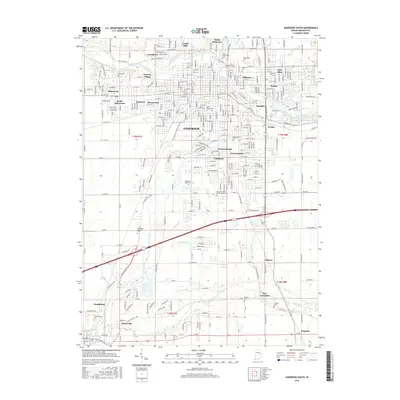
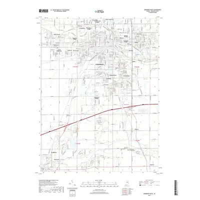
(20)- 2010 Map of Anderson South, 2010 Print
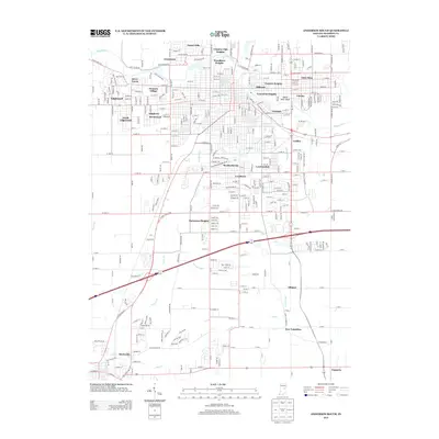
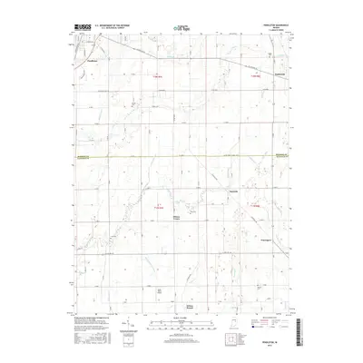
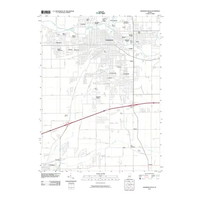 2010 Anderson South2010 Print · USGSCovers Pendleton, including Anderson, Edgewood, and other nearby areas
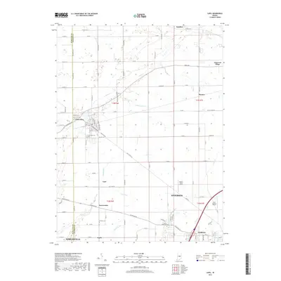
 - 2010 Map of Lapel, 2010 Print
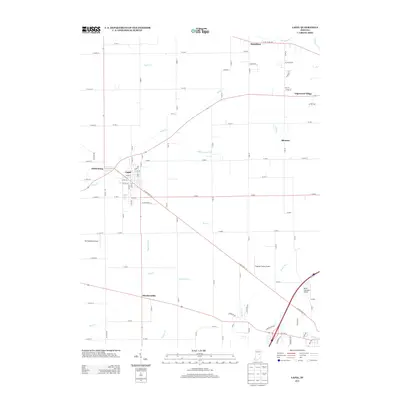
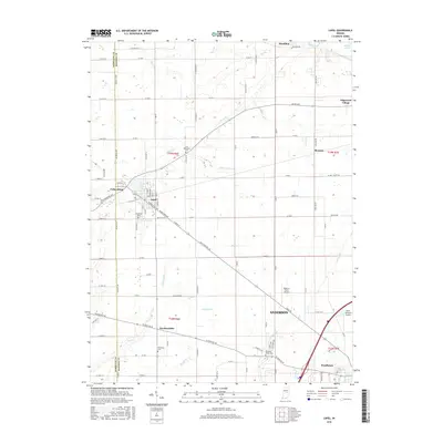
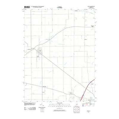 2010 Lapel2010 Print · USGSCovers Pendleton, including Noblesville, Anderson, and other nearby areas
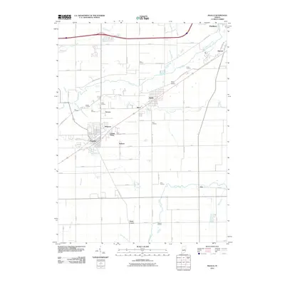
 - 2010 Map of Pendleton, 2010 Print
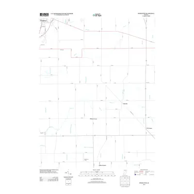
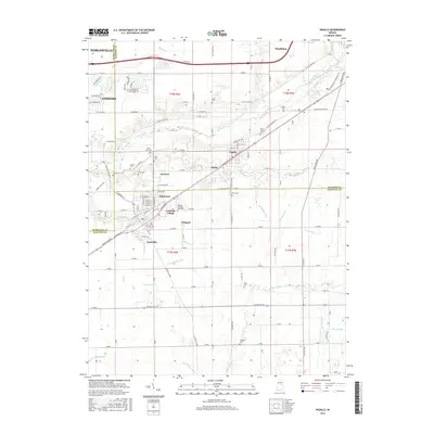
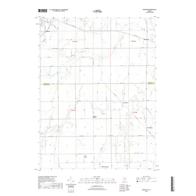
 2010 Pendleton2010 Print · USGSCovers Pendleton, including Markleville, Milners Corner, and other nearby areas
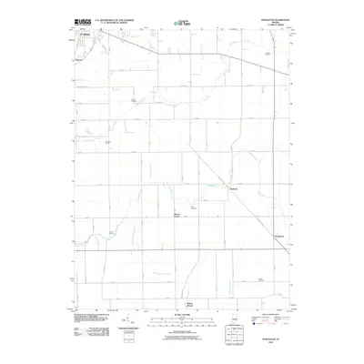
 - 2010 Map of Ingalls, 2010 Print
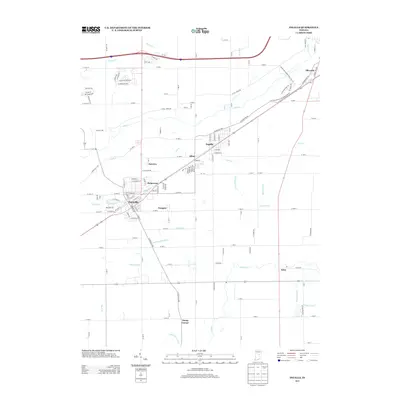
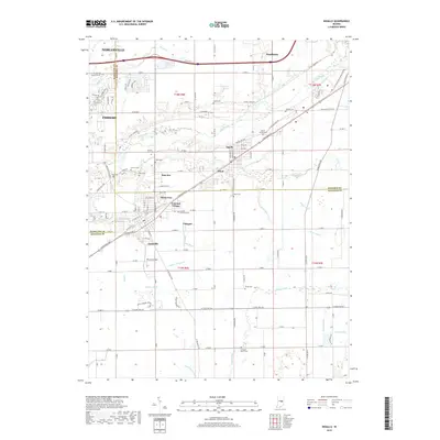
 2010 Ingalls2010 Print · USGSCovers Pendleton, including Fishers, Noblesville, and other nearby areas
 - 2013 Map of Pendleton, 2013 Print
 2013 Pendleton2013 Print · USGSCovers Pendleton, including Markleville, Milners Corner, and other nearby areas
 - 2013 Map of Lapel, 2013 Print
 2013 Lapel2013 Print · USGSCovers Pendleton, including Noblesville, Anderson, and other nearby areas
 - 2013 Map of Anderson South, 2013 Print
 2013 Anderson South2013 Print · USGSCovers Pendleton, including Anderson, Edgewood, and other nearby areas
 - 2013 Map of Ingalls, 2013 Print
 2013 Ingalls2013 Print · USGSCovers Pendleton, including Fishers, Noblesville, and other nearby areas
 - 2016 Map of Ingalls, 2016 Print
 2016 Ingalls2016 Print · USGSCovers Pendleton, including Fishers, Noblesville, and other nearby areas
 - 2016 Map of Pendleton, 2016 Print
 2016 Pendleton2016 Print · USGSCovers Pendleton, including Markleville, Milners Corner, and other nearby areas
 - 2016 Map of Anderson South, 2016 Print
 2016 Anderson South2016 Print · USGSCovers Pendleton, including Anderson, Edgewood, and other nearby areas
 - 2016 Map of Lapel, 2016 Print
 2016 Lapel2016 Print · USGSCovers Pendleton, including Noblesville, Anderson, and other nearby areas
 - 2019 Map of Lapel, 2019 Print
 2019 Lapel2019 Print · USGSCovers Pendleton, including Noblesville, Anderson, and other nearby areas
 - 2019 Map of Anderson South, 2019 Print
 2019 Anderson South2019 Print · USGSCovers Pendleton, including Anderson, Edgewood, and other nearby areas
 - 2019 Map of Pendleton, 2019 Print
 2019 Pendleton2019 Print · USGSCovers Pendleton, including Markleville, Milners Corner, and other nearby areas
 - 2019 Map of Ingalls, 2019 Print
 2019 Ingalls2019 Print · USGSCovers Pendleton, including Fishers, Noblesville, and other nearby areas
 - 2022 Map of Pendleton, 2022 Print
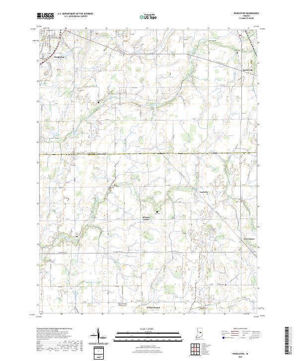 2022 Pendleton2022 Print · USGSThe borderlands of Madison and Hancock counties appear here in the early twenty-first century, showing a landscape of productive farmland and small crossroads communities. Genealogists can locate several rural burial grounds such as Walker Cemetery and Cook Cemetery, or trace the paths of Sugar Creek and Manifold Ditch.
 - 2022 Map of Lapel, 2022 Print
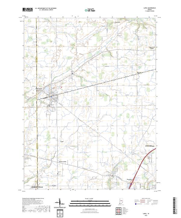 2022 Lapel2022 Print · USGSCentral Indiana at the start of the 2020s shows a landscape of long-established farmsteads and growing small towns. Genealogists and local historians can trace the exact locations of Old Woodward Cem, Brookside Cem, and the quiet crossroads of Hardscrabble.
 - 2022 Map of Ingalls, 2022 Print
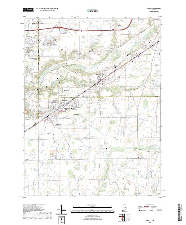 2022 Ingalls2022 Print · USGSThe Madison and Hancock county line comes alive in this contemporary survey, showing the residential growth of Ingalls and Fortville. Researchers can locate numerous family burial sites like Hiday Cem and Crosley Cem or trace the path of the McFadden Ditch.
 - 2022 Map of Anderson South, 2022 Print
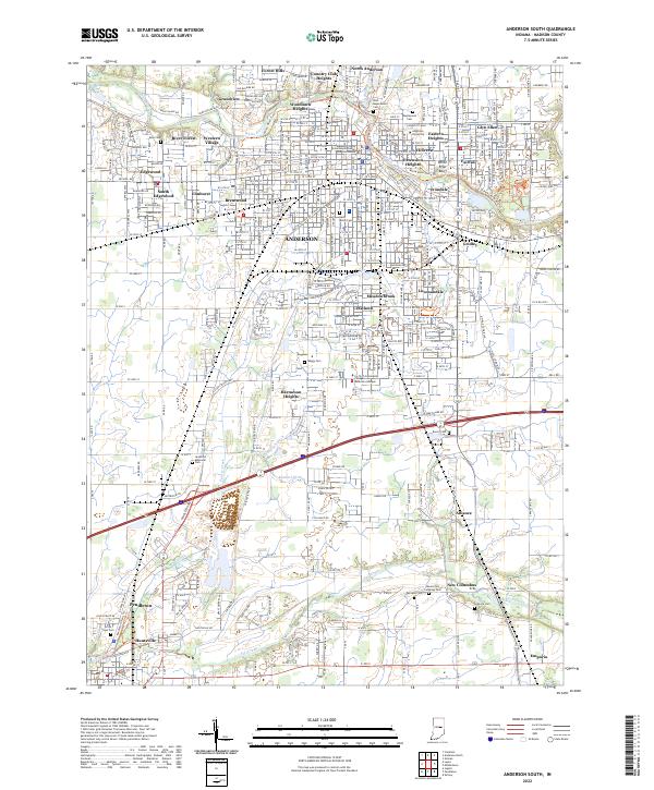 2022 Anderson South2022 Print · USGSMadison County at the start of the 2020s reveals the expanding footprint of Anderson and Pendleton. Genealogists can locate family sites at West Maplewood Cem and Mount Zion Lutheran Cem, or trace industrial ties near Irondale.
End of results
Showing maps 1-20 of 20
Top cities near Pendleton
- Indianapolis historical maps
- Fishers historical maps
- Noblesville historical maps
- Anderson historical maps
- Lawrence historical maps
- Greenfield historical maps
See more
Top neighborhoods of Pendleton
Frequently asked questions
- What are the different types of historical maps available for Pendleton?
- What is the oldest map of Pendleton?
- Where can I purchase historical maps of Pendleton for my home or office?
- Where can I download high-res historical maps of Pendleton?
- Are there historical topographic maps available for Pendleton?
- Is there historical aerial imagery available for Pendleton?
- Where are historical maps of Pendleton sourced from?