2000s (21st Century) Maps of Macy, Indiana
Explore 10 historic maps of Macy from the 2000s (21st Century). These maps offer a rare glimpse into what life looked like during the 2000s — showing old roads, neighborhoods, homes, and landmarks that have changed or disappeared over time.
Whether you're researching your family's past, planning a metal detecting trip, or studying how Macy's landscape evolved across the 2000s, these high-resolution maps are a powerful tool for exploring the history of this region.
- Focus on a specific era: All maps on this page are from the 2000s, giving you a focused view of this time period.
- See what’s changed: Compare century-old streets, trails, and buildings to today's modern landscape using overlays and satellite layers.
- Research with precision: Use these maps for genealogy, historical research, land use analysis, or educational projects.
- View, download, or print: Maps are fully viewable online in high resolution, and can be downloaded or printed for your own records.
Start exploring Macy's history through authentic maps from the 2000s. This is your window into the past.
Macy, IN maps
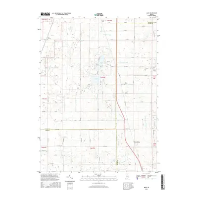
(10)- 2010 Map of Macy, 2010 Print
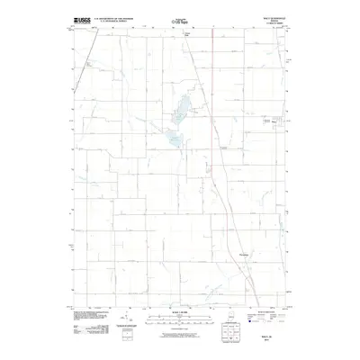 2010 Macy2010 Print · USGSCovers Macy, including Wagoner, Green Oak, and other nearby areas
 - 2010 Map of Deedsville, 2010 Print
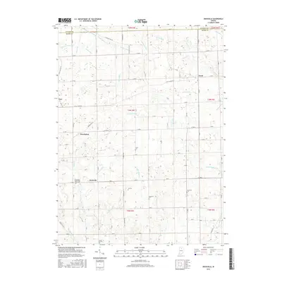
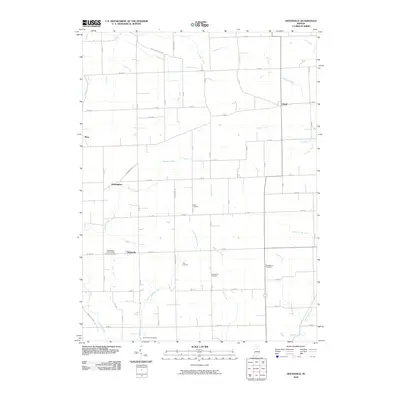 2010 Deedsville2010 Print · USGSCovers Macy, including Deedsville, Birmingham, and other nearby areas
 - 2013 Map of Deedsville, 2013 Print
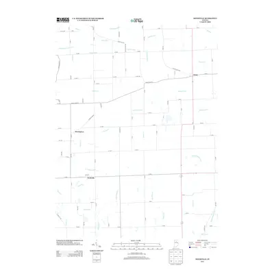 2013 Deedsville2013 Print · USGSCovers Macy, including Deedsville, Birmingham, and other nearby areas
 - 2013 Map of Macy, 2013 Print
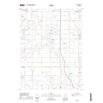
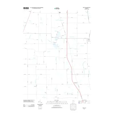 2013 Macy2013 Print · USGSCovers Macy, including Wagoner, Green Oak, and other nearby areas
 - 2016 Map of Macy, 2016 Print
 2016 Macy2016 Print · USGSCovers Macy, including Wagoner, Green Oak, and other nearby areas
 - 2016 Map of Deedsville, 2016 Print
 2016 Deedsville2016 Print · USGSCovers Macy, including Deedsville, Birmingham, and other nearby areas
 - 2019 Map of Macy, 2019 Print
 2019 Macy2019 Print · USGSCovers Macy, including Wagoner, Green Oak, and other nearby areas
 - 2019 Map of Deedsville, 2019 Print
 2019 Deedsville2019 Print · USGSCovers Macy, including Deedsville, Birmingham, and other nearby areas
 - 2022 Map of Macy, 2022 Print
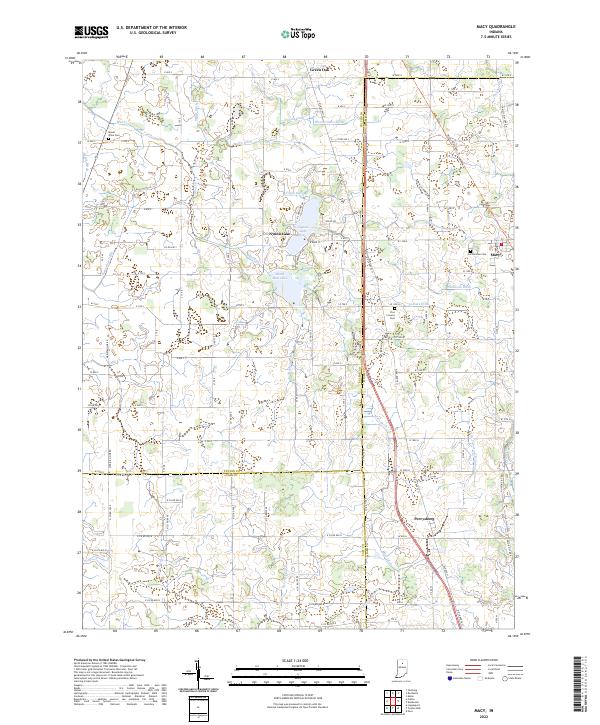 2022 Macy2022 Print · USGSThe borderlands of Fulton, Miami, and Cass counties are documented here in the early 2020s, showing the enduring rural character of North-Central Indiana. Researchers can trace local heritage through sites like Plainview Cem, the lakeside community of Nyona Lake, and the historic Nickle Plate Rail Trl.
 - 2022 Map of Deedsville, 2022 Print
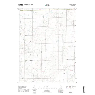
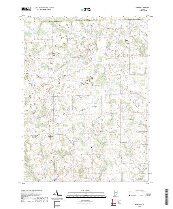 2022 Deedsville2022 Print · USGSMiami and Fulton counties in the modern day still reflect a legacy of rural township life and water engineering. Genealogists can locate several family and fraternal burial sites including Yike Cem, Musselman Cem, and the Mount Zion Cem.
End of results
Showing maps 1-10 of 10
Top cities near Macy
- Logansport historical maps
- Peru historical maps
- Rochester historical maps
- Walnut historical maps
- Akron historical maps
- Mentone historical maps
See more
Frequently asked questions
- What are the different types of historical maps available for Macy?
- What is the oldest map of Macy?
- Where can I purchase historical maps of Macy for my home or office?
- Where can I download high-res historical maps of Macy?
- Are there historical topographic maps available for Macy?
- Is there historical aerial imagery available for Macy?
- Where are historical maps of Macy sourced from?