Old Maps of Macy, Indiana for Genealogy
Trace your family roots with 17 historic maps of Macy. These high-res maps reveal old neighborhoods, homesites, landmarks, and streets — helping you uncover where your ancestors lived and how the area evolved over time.
- Explore historic neighborhoods: Identify where your relatives may have lived in the 1800s or 1900s.
- Compare maps over time: Trace the changes in streets, buildings, and landmarks for multi-generational research.
- Perfect for genealogy & ancestry research: Used by family historians and researchers to map out lineage and migration.
These maps are an incredible resource for exploring your personal connection to Macy's past.
Macy, IN maps
(17)- 1953 Map of Danville, 1965 Print
 1953 Danville1965 Print · USGSIndiana and Illinois crossroads come to life in this mid-century survey as the interstate era begins to reshape the river-and-rail landscape. Genealogists and collectors can trace the historic paths of the Nickel Plate railroad or locate smaller communities like Veedersburg, Goodland, and Bismarck.3 unique versions available
 - 1955 Map of Danville
 1955 Danville1955 Print · USGSThe Indiana-Illinois borderlands during the mid-fifties reveal a landscape of thriving rail hubs and university towns. Researchers can trace the legacy of Purdue University, the Tippecanoe Battlefield, and the path of the Pennsylvania RR.
 - 1956 Map of Danville
 1956 Danville1956 Print · USGSMid-century Indiana and Illinois are captured here as the river-and-rail economy evolved into the modern highway era. Researchers can trace ancestral roots and old transport lines through Logansport, Battle Ground, and the dams at Lake Shafer.
 - 1960 Map of Macy, 1963 Print
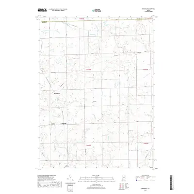
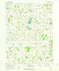 1960 Macy1963 Print · USGSMiami and Fulton counties are captured here in the early 1960s, a period when the rural landscape was defined by its railroad crossings and small townships. Researchers can trace the junction of two major lines at Macy or locate ancestral sites like Mud Lake Chapel and Plainview Cemetery.3 unique versions available
 - 1960 Map of Deedsville, 1963 Print
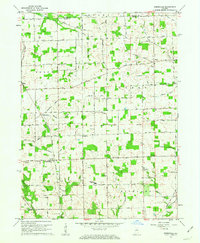 1960 Deedsville1963 Print · USGSMiami County, Indiana, is captured at the dawn of the 1960s, showing a rural landscape defined by the Old Indian Treaty Boundary and the Chicago and St Louis RR. Genealogists and local historians can trace the foundations of Deedsville and find scattered landmarks like Ebenezer Ch and Yike Cem.2 unique versions available
 - 1985 Map of Logansport
 1985 Logansport1985 Print · USGSNorth-central Indiana in the mid-eighties shows a landscape of river-fed towns and significant military aviation hubs. Genealogists and local historians can trace the rail corridors of the Conrail or locate sites like River View Cem and the crossroads at Twelve Mile.2 unique versions available
 - 1992 Map of Deedsville, 1995 Print
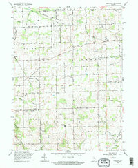 1992 Deedsville1995 Print · USGSMiami and Fulton counties remained deeply agricultural in the 1990s, with this survey showing the small-town life around Deedsville and Macy. Genealogists can locate family burial grounds including Tilden Cem and Musselman Cem near the Ebenezer Ch.
 - 2010 Map of Macy, 2010 Print
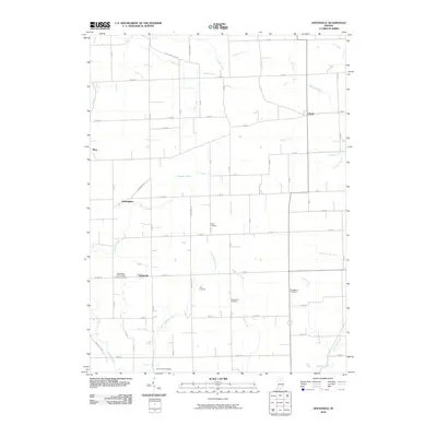
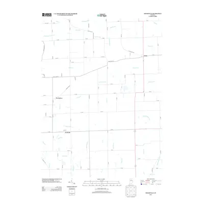
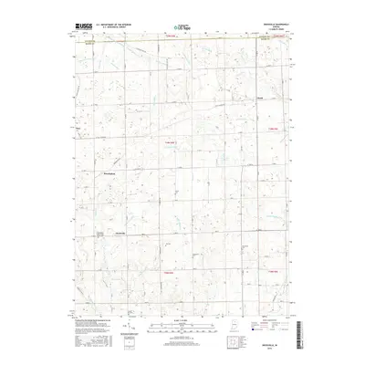
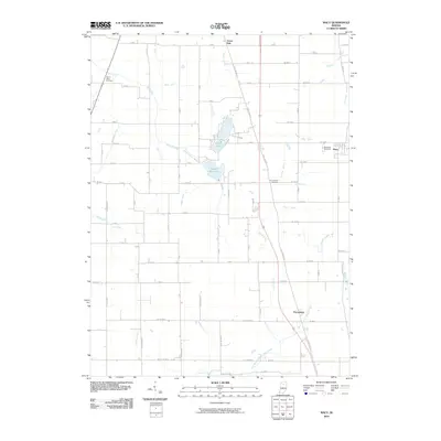 2010 Macy2010 Print · USGSCovers Macy, including Wagoner, Green Oak, and other nearby areas
 - 2010 Map of Deedsville, 2010 Print
 2010 Deedsville2010 Print · USGSCovers Macy, including Deedsville, Birmingham, and other nearby areas
 - 2013 Map of Deedsville, 2013 Print
 2013 Deedsville2013 Print · USGSCovers Macy, including Deedsville, Birmingham, and other nearby areas
 - 2013 Map of Macy, 2013 Print
 2013 Macy2013 Print · USGSCovers Macy, including Wagoner, Green Oak, and other nearby areas
 - 2016 Map of Macy, 2016 Print
 2016 Macy2016 Print · USGSCovers Macy, including Wagoner, Green Oak, and other nearby areas
 - 2016 Map of Deedsville, 2016 Print
 2016 Deedsville2016 Print · USGSCovers Macy, including Deedsville, Birmingham, and other nearby areas
 - 2019 Map of Macy, 2019 Print
 2019 Macy2019 Print · USGSCovers Macy, including Wagoner, Green Oak, and other nearby areas
 - 2019 Map of Deedsville, 2019 Print
 2019 Deedsville2019 Print · USGSCovers Macy, including Deedsville, Birmingham, and other nearby areas
 - 2022 Map of Macy, 2022 Print
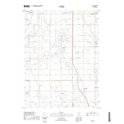
 2022 Macy2022 Print · USGSThe borderlands of Fulton, Miami, and Cass counties are documented here in the early 2020s, showing the enduring rural character of North-Central Indiana. Researchers can trace local heritage through sites like Plainview Cem, the lakeside community of Nyona Lake, and the historic Nickle Plate Rail Trl.
 - 2022 Map of Deedsville, 2022 Print
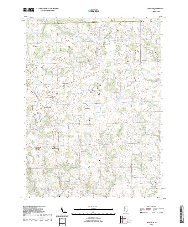 2022 Deedsville2022 Print · USGSMiami and Fulton counties in the modern day still reflect a legacy of rural township life and water engineering. Genealogists can locate several family and fraternal burial sites including Yike Cem, Musselman Cem, and the Mount Zion Cem.
End of results
Showing maps 1-17 of 17
Top cities near Macy
- Logansport historical maps
- Peru historical maps
- Rochester historical maps
- Walnut historical maps
- Akron historical maps
- Mentone historical maps
See more
Frequently asked questions
- What are the different types of historical maps available for Macy?
- What is the oldest map of Macy?
- Where can I purchase historical maps of Macy for my home or office?
- Where can I download high-res historical maps of Macy?
- Are there historical topographic maps available for Macy?
- Is there historical aerial imagery available for Macy?
- Where are historical maps of Macy sourced from?