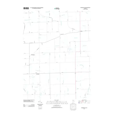
2013 Map of Deedsville
USGS Topo · Published 2013About this map
Deedsville serves as a central hub in this agrarian landscape of northern Indiana, where a complex network of drainage ditches and creeks defines the local geography. The settlements of Gilead and Birmingham anchor the surrounding rural expanse, connected by a grid of county roads such as Pleasant Hill Rd and N Macy Millark Rd. This 2013 survey illustrates the intensive water management required for regional agriculture, featuring named waterways like Taylor Ditch, Robbins Ditch, and Wilson Rhodes Ditch.
Find a feature on this map
88 named features on this map. Tap any name to fly to it.
Don’t see what you’re looking for? This feature index may not catch every label — zoom into the map to look around manually.
Map Details
Editions of this 2013 Deedsville Map
This is the sole edition of this map. No revisions or reprints were ever made.
Other maps of this area

1951 · Peru
USGS Topo · 1:24,000

1951 · Twelve Mile
USGS Topo · 1:24,000

1951 · Richvalley
USGS Topo · 1:24,000

1953 · Fort Wayne
USGS Topo · 1:250,000

1953 · Chicago
USGS Topo · 1:250,000

1953 · Danville
USGS Topo · 1:250,000

1953 · Muncie
USGS Topo · 1:250,000

1955 · Danville
USGS Topo · 1:250,000

1956 · Muncie
USGS Topo · 1:250,000

1956 · Danville
USGS Topo · 1:250,000