2020s Maps of Posey County, Indiana
Explore 15 historic maps of Posey County from the 2020s. These maps offer a rare glimpse into what life looked like during the 2020s — showing old roads, neighborhoods, homes, and landmarks that have changed or disappeared over time.
Whether you're researching your family's past, planning a metal detecting trip, or studying how Posey County's landscape evolved across the 2020s, these high-resolution maps are a powerful tool for exploring the history of this region.
- Focus on a specific era: All maps on this page are from the 2020s, giving you a focused view of this time period.
- See what’s changed: Compare century-old streets, trails, and buildings to today's modern landscape using overlays and satellite layers.
- Research with precision: Use these maps for genealogy, historical research, land use analysis, or educational projects.
- View, download, or print: Maps are fully viewable online in high resolution, and can be downloaded or printed for your own records.
Start exploring Posey County's history through authentic maps from the 2020s. This is your window into the past.
Posey County, IN maps
(15)- 2021 Map of Maunie, 2021 Print
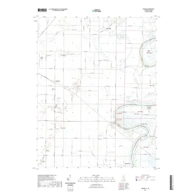 2021 Maunie2021 Print · USGSCovers Posey County, including Maunie, Rising Sun, and other nearby areas
 - 2021 Map of Emma, 2021 Print
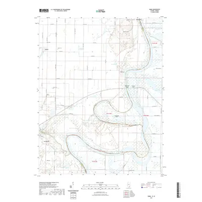 2021 Emma2021 Print · USGSCovers Posey County, including Emma, New Haven, and other nearby areas
 - 2022 Map of Wabash Island, 2022 Print
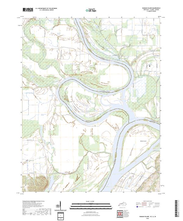 2022 Wabash Island2022 Print · USGSThe tri-state confluence of the Wabash River and Ohio River is captured here in recent years, revealing a complex network of sloughs and islands. Genealogists and historians can locate Rowe Cem and trace old family-named routes like Bonebank Rd and Reburn Church Rd.
 - 2022 Map of Caborn, 2022 Print
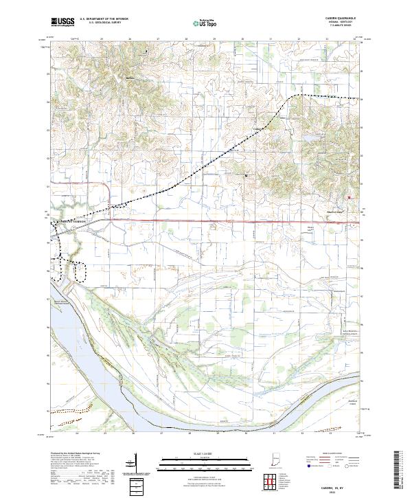 2022 Caborn2022 Print · USGSNear the southern tip of Indiana in the 2020s, the river plains meet a complex network of wetlands and agricultural tracts. Genealogists and local historians can trace family locations near Bufkin, Saint Johns Cem, and the shifting channels of Cypress Slough.
 - 2022 Map of Kasson, 2022 Print
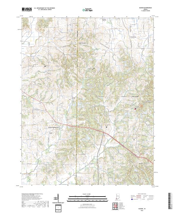 2022 Kasson2022 Print · USGSThe rural borders of Posey and Vanderburgh counties are captured here in the early 2020s, showing a landscape of traditional farmsteads and modern country estates. Researchers can locate several burial grounds like Kunze Cem and historic community centers such as Saint Wendel or Parkers Settlement.
 - 2022 Map of West Franklin, 2022 Print
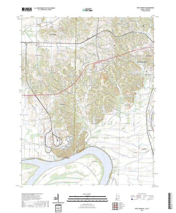 2022 West Franklin2022 Print · USGSThe Indiana-Kentucky borderlands along the Ohio River appear here in their modern agricultural and academic context. Local historians can trace family-named sites and rural settlements like Saint Philip, West Franklin, and Tupman Cem near the river's edge.
 - 2022 Map of Poseyville, 2022 Print
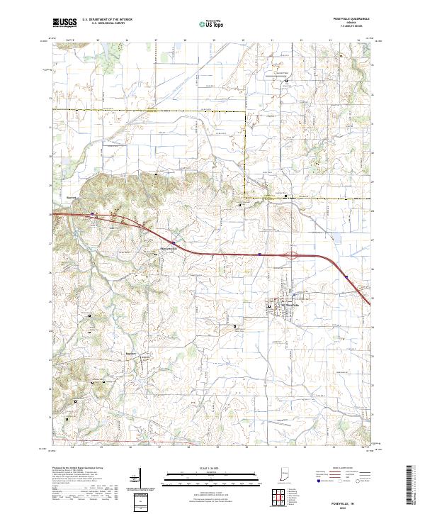 2022 Poseyville2022 Print · USGSThe Indiana countryside near Poseyville and Stewartsville is captured here in the early 2020s, showing a landscape defined by generational farms and rural hamlets. Researchers can trace local lineage through numerous sites like Oak Grove Cem, Cale Cem, and the small airstrip at Bugtown Airport.
 - 2022 Map of Wadesville, 2022 Print
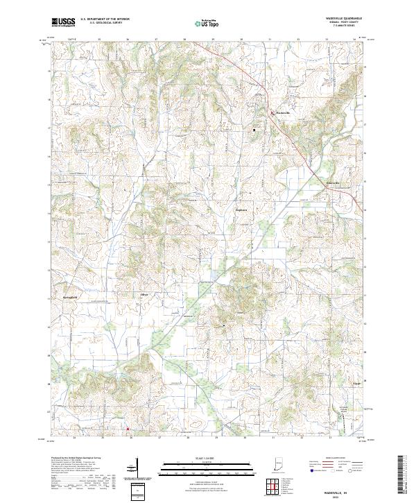 2022 Wadesville2022 Print · USGSThe rural crossroads of Posey County are captured here in the early twenty-first century, showcasing a landscape of established farmsteads and creek drainages. Researchers can locate family landmarks like Laurel Hill Cem and the small settlements of Blairsville and Springfield.
 - 2022 Map of New Harmony, 2022 Print
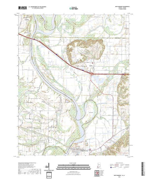 2022 New Harmony2022 Print · USGSThe Illinois-Indiana borderlands along the Wabash River are captured here in the early twenty-first century, showing a landscape shaped by shifting waters and historic town sites. Researchers can trace family roots at Mount Pleasant Cem or explore the river's path around Bull Island and Ribeyre Island.
 - 2022 Map of Mount Vernon, 2022 Print
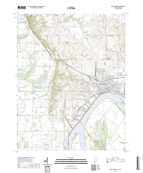 2022 Mount Vernon2022 Print · USGSMount Vernon and the surrounding Posey County countryside are captured here in the early twenty-first century as the city’s riverfront industry meets historic rural townships. Genealogists can trace local roots through several burial sites like Saint Matthews Cem and Bellefontaine Cem or explore the area around Grafton and Brewery Hill.
 - 2022 Map of Solitude, 2022 Print
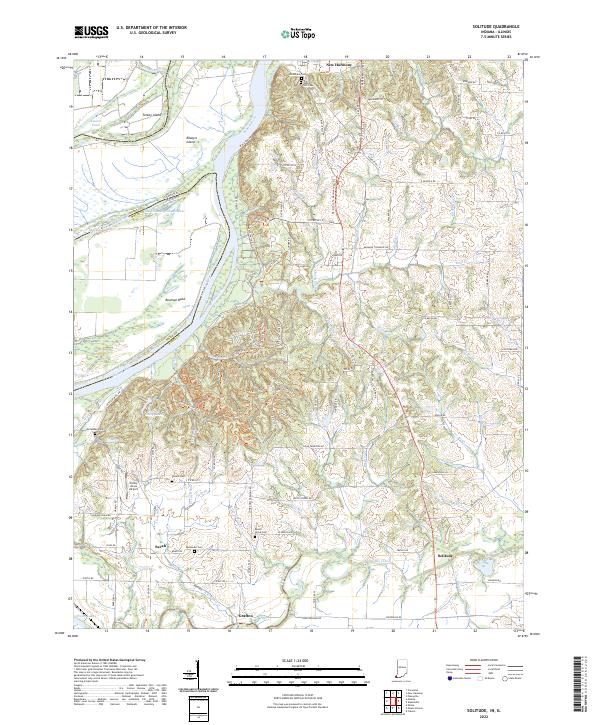 2022 Solitude2022 Print · USGSThe Indiana-Illinois border along the Wabash River comes into focus in this recent survey of Posey County. Researchers can trace the communal roots of New Harmony, locate the Harmonist Cem, or find smaller settlements like Savah and Solitude.
 - 2022 Map of Cynthiana, 2022 Print
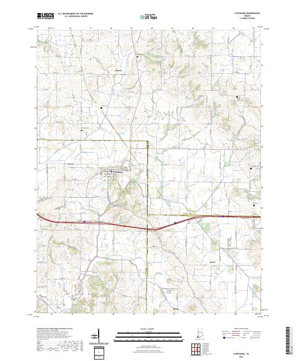 2022 Cynthiana2022 Print · USGSThe crossroads of Posey and Gibson counties come into focus in the early 2020s, centered on the historic town of Cynthiana. Researchers can trace ancestral roots through several local burial sites like Mount Moriah Cem and Benson Cem or locate rural hamlets such as Mounts and Nisbet.
 - 2022 Map of Uniontown, 2022 Print
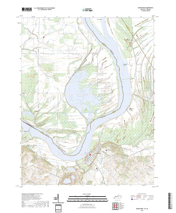 2022 Uniontown2022 Print · USGSThe Ohio River borderlands in Kentucky and Indiana are shown here in modern detail, emphasizing a landscape shaped by water and river commerce. Genealogists and local historians can locate Uniontown City Cem, trace the banks of Hovey Lake, and explore the river islands like Slim Island and Wabash Island.
 - 2024 Map of Maunie, 2024 Print
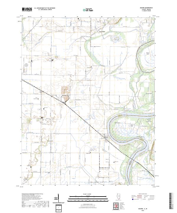 2024 Maunie2024 Print · USGSThe river-driven landscape of White County comes into focus in this contemporary survey of the Illinois and Indiana border. Genealogists and local historians can trace family burial sites like Williams Family Cem and ancient landmarks including Aldrich Mound and Thompson Mound.
 - 2024 Map of Emma, 2024 Print
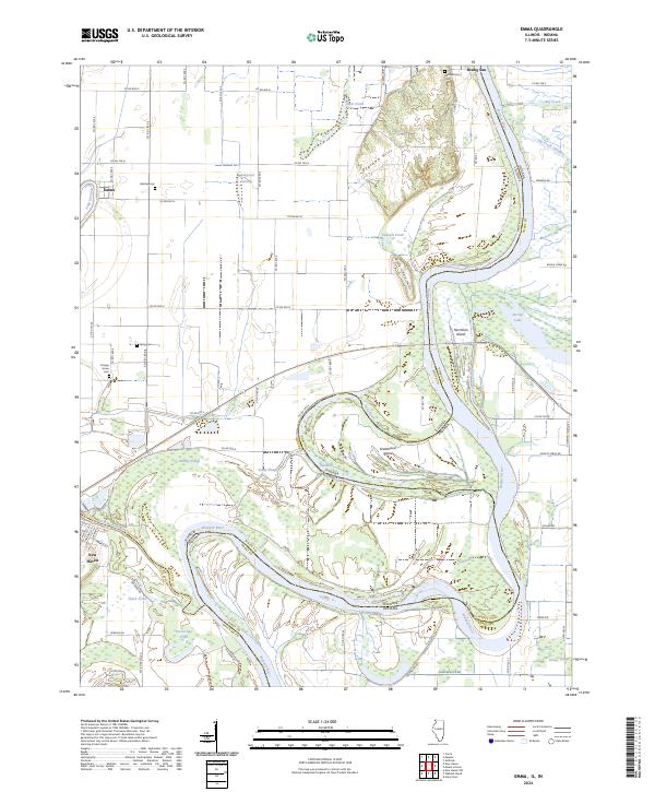 2024 Emma2024 Print · USGSThe confluence and meanders of the Wabash River and Little Wabash River define this river-border region during the early twenty-first century. Researchers can trace historic family burial sites at Abshire Cem or Orange Grove Cem and explore the shifting riverbanks near Hermann Island and New Haven.
End of results
Showing maps 1-15 of 15
Top cities of Posey County
- Mount Vernon historical maps
- Poseyville historical maps
- New Harmony historical maps
- Cynthiana historical maps
- Griffin historical maps
Frequently asked questions
- What are the different types of historical maps available for Posey County?
- What is the oldest map of Posey County?
- Where can I purchase historical maps of Posey County for my home or office?
- Where can I download high-res historical maps of Posey County?
- Are there historical topographic maps available for Posey County?
- Is there historical aerial imagery available for Posey County?
- Where are historical maps of Posey County sourced from?