2000s (21st Century) Maps of Putnam County, Indiana
Explore 80 historic maps of Putnam County from the 2000s (21st Century). These maps offer a rare glimpse into what life looked like during the 2000s — showing old roads, neighborhoods, homes, and landmarks that have changed or disappeared over time.
Whether you're researching your family's past, planning a metal detecting trip, or studying how Putnam County's landscape evolved across the 2000s, these high-resolution maps are a powerful tool for exploring the history of this region.
- Focus on a specific era: All maps on this page are from the 2000s, giving you a focused view of this time period.
- See what’s changed: Compare century-old streets, trails, and buildings to today's modern landscape using overlays and satellite layers.
- Research with precision: Use these maps for genealogy, historical research, land use analysis, or educational projects.
- View, download, or print: Maps are fully viewable online in high resolution, and can be downloaded or printed for your own records.
Start exploring Putnam County's history through authentic maps from the 2000s. This is your window into the past.
Putnam County, IN maps
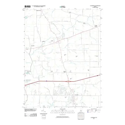
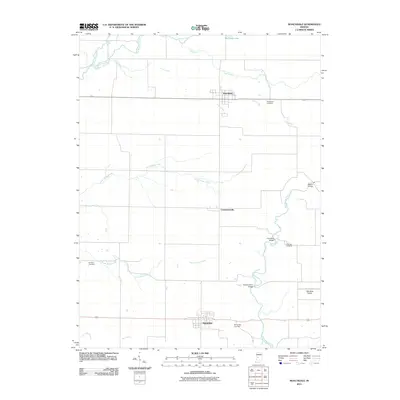
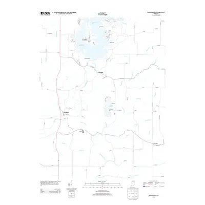
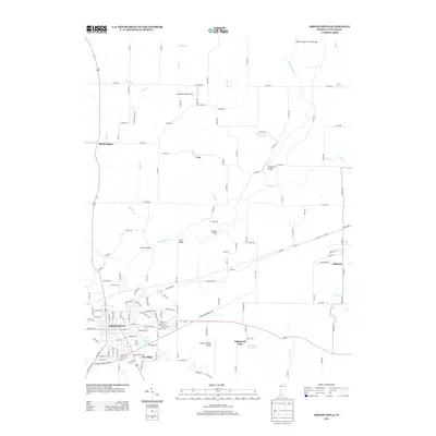
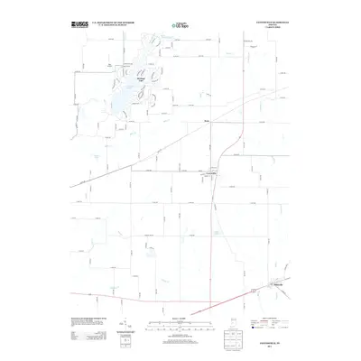
(80)- 2010 Map of Bellmore, 2010 Print
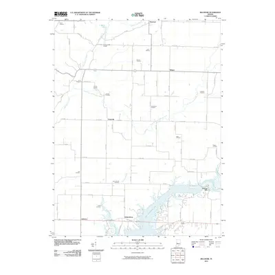 2010 Bellmore2010 Print · USGSCovers Putnam County, including Waveland, Milligan, and other nearby areas
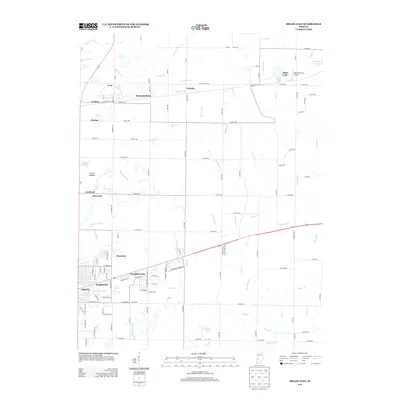
 - 2010 Map of Brazil East, 2010 Print
 2010 Brazil East2010 Print · USGSCovers Putnam County, including Brazil, Knightsville, and other nearby areas
 - 2010 Map of Mansfield, 2010 Print
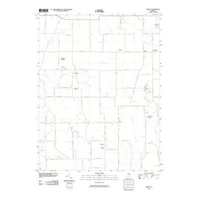
 2010 Mansfield2010 Print · USGSCovers Putnam County, including Keytsville, Mansfield, and other nearby areas
 - 2010 Map of Center Point, 2010 Print
 2010 Center Point2010 Print · USGSCovers Putnam County, including Center Point, Roadman Corner, and other nearby areas
 - 2010 Map of Quincy, 2010 Print
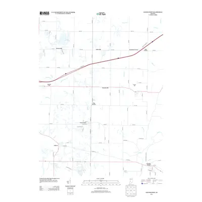
 2010 Quincy2010 Print · USGSCovers Putnam County, including Lewisville, Wallace Junction, and other nearby areas
 - 2010 Map of Reelsville, 2010 Print
 2010 Reelsville2010 Print · USGSCovers Putnam County, including Greencastle, Limedale, and other nearby areas
 - 2010 Map of Greencastle, 2010 Print
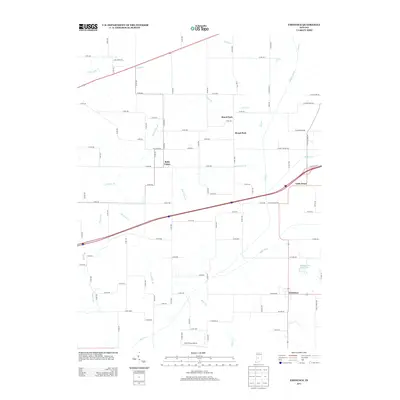
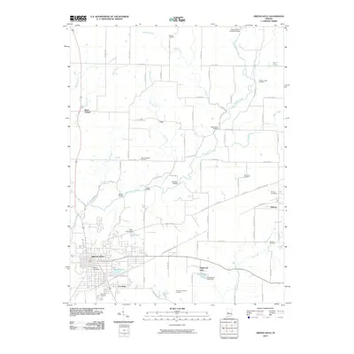 2010 Greencastle2010 Print · USGSCovers Putnam County, including Greencastle, Fillmore, and other nearby areas
 - 2010 Map of Cataract, 2010 Print
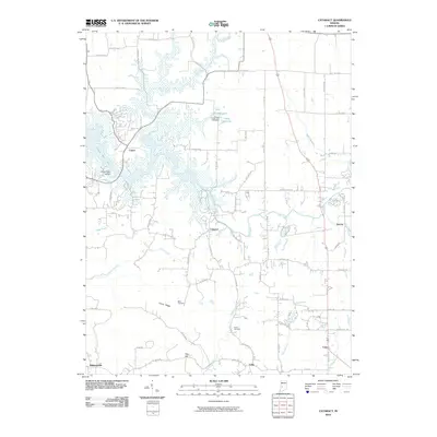 2010 Cataract2010 Print · USGSCovers Putnam County, including Devore, Carp, and other nearby areas
 - 2010 Map of Coatesville, 2010 Print
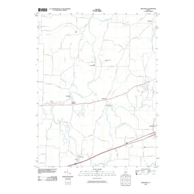
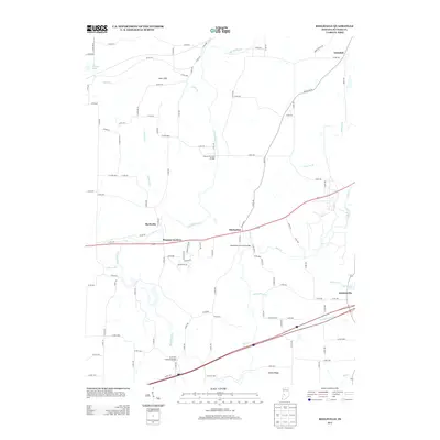
 2010 Coatesville2010 Print · USGSCovers Putnam County, including Coatesville, Fillmore, and other nearby areas
 - 2010 Map of Eminence, 2010 Print
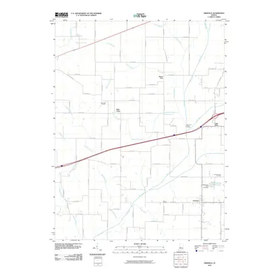 2010 Eminence2010 Print · USGSCovers Putnam County, including Broad Park, Little Point, and other nearby areas
 - 2010 Map of Clinton Falls, 2010 Print
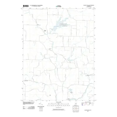 2010 Clinton Falls2010 Print · USGSCovers Putnam County, including Greencastle, Brunerstown, and other nearby areas
 - 2010 Map of Russellville, 2010 Print
 2010 Russellville2010 Print · USGSCovers Putnam County, including Russellville, Parkersburg, and other nearby areas
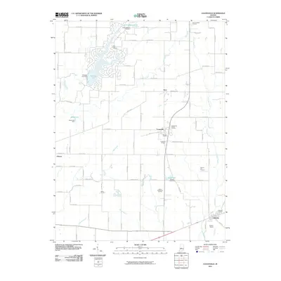
 - 2010 Map of Cloverdale, 2010 Print
 2010 Cloverdale2010 Print · USGSCovers Putnam County, including Cloverdale, Cradick Corner, and other nearby areas
 - 2010 Map of Poland, 2010 Print
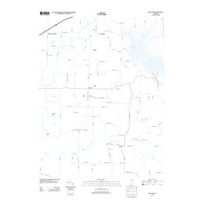
 2010 Poland2010 Print · USGSCovers Putnam County, including Jordan, Poland, and other nearby areas
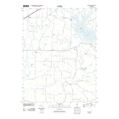
 - 2010 Map of North Salem, 2010 Print
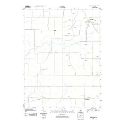 2010 North Salem2010 Print · USGSCovers Putnam County, including North Salem, Barnard, and other nearby areas
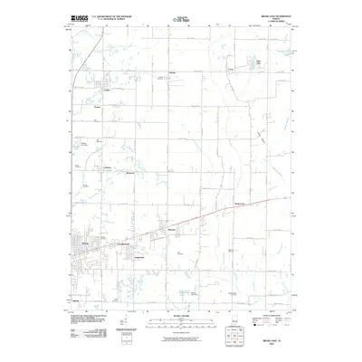
 - 2011 Map of Roachdale, 2011 Print
 2011 Roachdale2011 Print · USGSCovers Putnam County, including Roachdale, Carpentersville, and other nearby areas
 - 2013 Map of Center Point, 2013 Print
 2013 Center Point2013 Print · USGSCovers Putnam County, including Center Point, Roadman Corner, and other nearby areas
 - 2013 Map of Mansfield, 2013 Print
 2013 Mansfield2013 Print · USGSCovers Putnam County, including Keytsville, Mansfield, and other nearby areas
 - 2013 Map of Bellmore, 2013 Print
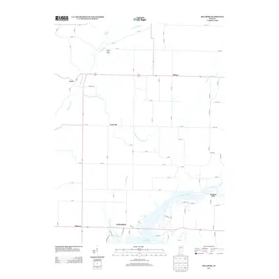 2013 Bellmore2013 Print · USGSCovers Putnam County, including Waveland, Milligan, and other nearby areas
 - 2013 Map of Brazil East, 2013 Print
 2013 Brazil East2013 Print · USGSCovers Putnam County, including Brazil, Knightsville, and other nearby areas
 - 2013 Map of Greencastle, 2013 Print
 2013 Greencastle2013 Print · USGSCovers Putnam County, including Greencastle, Fillmore, and other nearby areas
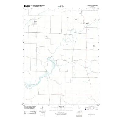
 - 2013 Map of Eminence, 2013 Print
 2013 Eminence2013 Print · USGSCovers Putnam County, including Broad Park, Little Point, and other nearby areas
 - 2013 Map of Poland, 2013 Print
 2013 Poland2013 Print · USGSCovers Putnam County, including Jordan, Poland, and other nearby areas
 - 2013 Map of Reelsville, 2013 Print
 2013 Reelsville2013 Print · USGSCovers Putnam County, including Greencastle, Limedale, and other nearby areas
 - 2013 Map of Coatesville, 2013 Print
 2013 Coatesville2013 Print · USGSCovers Putnam County, including Coatesville, Fillmore, and other nearby areas
Showing maps 1-25 of 80
Top cities of Putnam County
- Greencastle historical maps
- Cloverdale historical maps
- Roachdale historical maps
- Fillmore historical maps
- Russellville historical maps
Frequently asked questions
- What are the different types of historical maps available for Putnam County?
- What is the oldest map of Putnam County?
- Where can I purchase historical maps of Putnam County for my home or office?
- Where can I download high-res historical maps of Putnam County?
- Are there historical topographic maps available for Putnam County?
- Is there historical aerial imagery available for Putnam County?
- Where are historical maps of Putnam County sourced from?