Old Maps of Gulivoire Park, Indiana for Academic Research
Study the evolution of Gulivoire Park with 17 high-resolution historic maps. Whether you're teaching, researching, or modeling changes in land use, these maps provide essential visual documentation of urban, environmental, and geographic change.
- Analyze long-term change: Track patterns in development, transportation, and natural features.
- Ideal for environmental or urban studies: Support academic projects with primary historical map data.
- Use in the classroom or lab: Educators and researchers rely on these maps to bring historical context to life.
These maps are a powerful tool for teaching, research, and visualizing how Gulivoire Park has changed over the decades.
Gulivoire Park, IN maps
(17)- 1953 Map of Chicago, 1964 Print
 1953 Chicago1964 Print · USGSThe southern Lake Michigan shoreline was rapidly modernizing in the mid-fifties, balancing heavy industry with its famous academic centers. Researchers can trace the footprints of Notre Dame University or locate vanished sites like the Kingsbury Ordnance Plant and Meigs Field.5 unique versions available
 - 1957 Map of Chicago
 1957 Chicago1957 Print · USGSThe industrial heartland and southern Great Lakes shoreline are captured here during the peak of mid-century growth. Researchers can trace the massive Gary Steel Works, the grounds of the University of Notre Dame, and the early paths of the Tri-State Tollway.
 - 1958 Map of Lakeville, 1964 Print
 1958 Lakeville1964 Print · USGSLakeville and south-central St. Joseph County are shown in the late fifties as a bustling intersection of rail lines and rural townships. Genealogists and historians can locate family plots at Southlawn Cem or trace the path of the Pennsylvania Railroad through Pine Station.
 - 1961 Map of Wyatt, 1964 Print
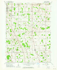 1961 Wyatt1964 Print · USGSSt. Joseph County's rural townships and growing suburban additions are captured in the early 1960s. Researchers can trace local lineage through Union Church Cemetery and landmark institutions like Tamarack Grange or Hay School.2 unique versions available
 - 1974 Map of Lakeville, 1975 Print
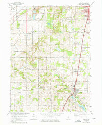 1974 Lakeville1975 Print · USGSSt. Joseph County south of South Bend shows a landscape of expanding recreation and transit in the mid-seventies. Genealogists and local historians can trace the Old Indian Treaty Boundary or locate family roots near Lakeville and Sumption Prairie Cem.2 unique versions available
 - 1983 Map of South Bend, 1984 Print
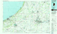 1983 South Bend1984 Print · USGSThe Indiana-Michigan borderlands come alive in this early 1980s overview of the Michiana region's industrial and academic hubs. Researchers can trace the rail networks of Conrail and the Grand Trunk Western alongside landmarks like the University of Notre Dame and Indiana Dunes State Park.2 unique versions available
 - 1992 Map of Wyatt, 1995 Print
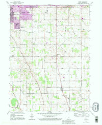 1992 Wyatt1995 Print · USGSSouth St. Joseph County transitioned from suburban expansion to traditional farmland in the early nineties. Genealogists and local historians can trace legacy sites like Union Ch Cem, Hay Sch, and the small community of Wyatt.
 - 2010 Map of Wyatt, 2010 Print
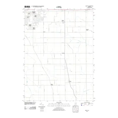 2010 Wyatt2010 Print · USGSSaint Joseph County at the start of the 2010s shows the suburban edge of South Bend meeting a deep-rooted agricultural interior. Researchers can trace the layout of early rural communities like Woodland and Wyatt alongside several historic burial grounds.
 - 2010 Map of Lakeville, 2010 Print
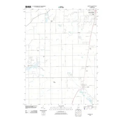 2010 Lakeville2010 Print · USGSSouth St. Joseph County is captured here at the start of the 2010s, showing the rural-suburban interface south of South Bend. Researchers can trace family history through several sites including Sumption Prairie Cemetery, Lakeville, and the waters of Worster Lake.
 - 2013 Map of Wyatt, 2013 Print
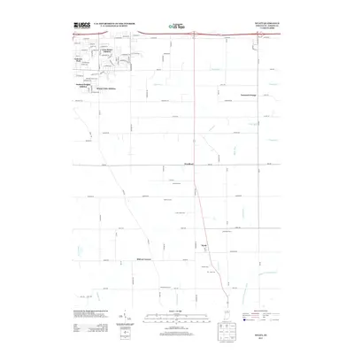 2013 Wyatt2013 Print · USGSSouth of South Bend in the early twenty-first century, this area maintains its agricultural character alongside growing residential subdivisions. Researchers can trace land ownership and community centers through labels like Wyatt, Tamarack Grange, and several named family holdings such as Schlarb Farm.
 - 2013 Map of Lakeville, 2013 Print
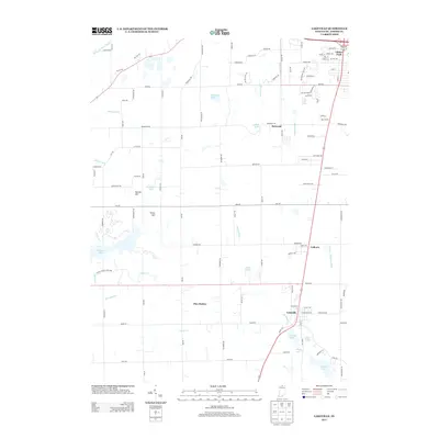 2013 Lakeville2013 Print · USGSSaint Joseph County's rural character and lakeside communities are preserved here in the early twenty-first century. Researchers can trace the boundaries of Potato Creek State Park or locate family-named landmarks like Reeves Hill and Sommers Lake.
 - 2016 Map of Lakeville, 2016 Print
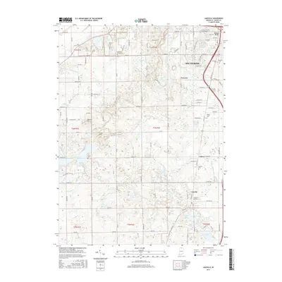 2016 Lakeville2016 Print · USGSThe rural outskirts of South Bend and the established town of Lakeville are seen here during the mid-2010s. Researchers can locate several historic burial grounds like Sumption Prairie Cem and Mount Calvary Cem or trace the waters of Worster Lake.
 - 2016 Map of Wyatt, 2016 Print
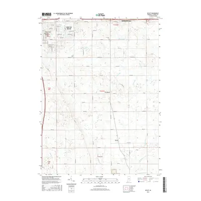 2016 Wyatt2016 Print · USGSSouth Saint Joseph County is captured here in the mid-2010s, showing the intersection of urban growth and deep-rooted agricultural life. Researchers can trace the drainage networks of Grimes Ditch and find quiet family sites like Van Buskirk Cem or the community of Wyatt.
 - 2019 Map of Wyatt, 2019 Print
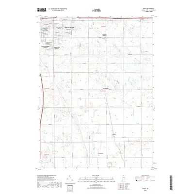 2019 Wyatt2019 Print · USGSSouth Bend's southern frontier meets Indiana's agricultural heartland in the late 2010s. Genealogists and local historians can trace suburban expansions like Gulivoire Park alongside older rural sites like Ferrisville Cem and the village of Wyatt.
 - 2019 Map of Lakeville, 2019 Print
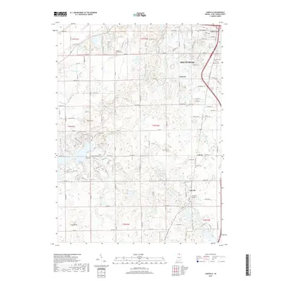 2019 Lakeville2019 Print · USGSSaint Joseph County at the end of the 2010s shows a landscape defined by its managed waterways and sprawling state park lands. Genealogists and hikers can trace local roots at Sumption Prairie Cem or explore the extensive trail systems around Worster Lake and Vargo Hill.
 - 2022 Map of Wyatt, 2022 Print
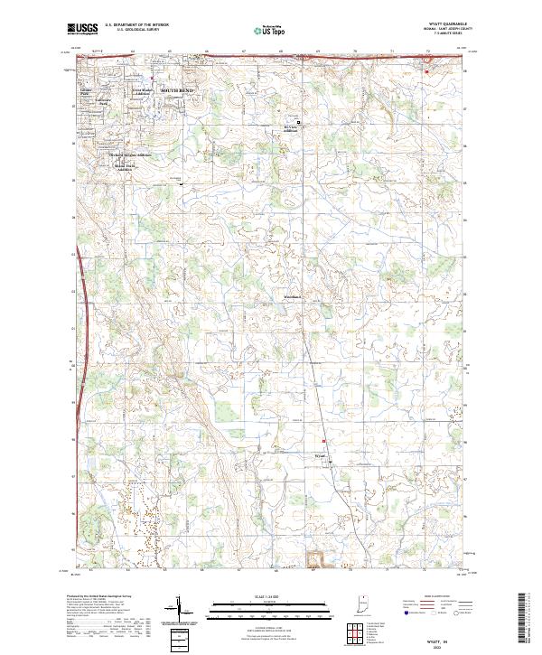 2022 Wyatt2022 Print · USGSThe southern outskirts of South Bend transition into the fertile farm country of St. Joseph County in the early 2020s. Researchers can trace family history at the Van Buskirk Cem or explore the rural layout of Woodland and Wyatt amidst a complex network of drainage ditches.
 - 2022 Map of Lakeville, 2022 Print
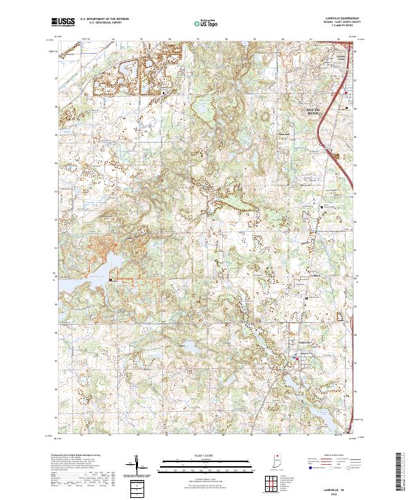 2022 Lakeville2022 Print · USGSSouth of South Bend in the early 2020s, this landscape transitions from suburban developments to the protected wetlands of the Kankakee outwash plain. Researchers can trace family history through several burial grounds like Sumption Prairie Cem or explore the extensive trail system of Potato Creek State Park.
End of results
Showing maps 1-17 of 17
Top cities near Gulivoire Park
- South Bend historical maps
- Elkhart historical maps
- Mishawaka historical maps
- Granger historical maps
- Niles historical maps
- Nappanee historical maps
See more
Top neighborhoods of Gulivoire Park
Frequently asked questions
- What are the different types of historical maps available for Gulivoire Park?
- What is the oldest map of Gulivoire Park?
- Where can I purchase historical maps of Gulivoire Park for my home or office?
- Where can I download high-res historical maps of Gulivoire Park?
- Are there historical topographic maps available for Gulivoire Park?
- Is there historical aerial imagery available for Gulivoire Park?
- Where are historical maps of Gulivoire Park sourced from?