Old Maps of Wabash County, Indiana for Academic Research
Study the evolution of Wabash County with 86 high-resolution historic maps. Whether you're teaching, researching, or modeling changes in land use, these maps provide essential visual documentation of urban, environmental, and geographic change.
- Analyze long-term change: Track patterns in development, transportation, and natural features.
- Ideal for environmental or urban studies: Support academic projects with primary historical map data.
- Use in the classroom or lab: Educators and researchers rely on these maps to bring historical context to life.
These maps are a powerful tool for teaching, research, and visualizing how Wabash County has changed over the decades.
Wabash County, IN maps
(86)- 1950 Map of Lagro, 1958 Print
 1950 Lagro1958 Print · USGSThe Wabash and Salamonie rivers meet in this 1950s Indiana survey, capturing the region's rail-and-river geography before later developments. Genealogists can trace family sites at Leedy Cem, Dora, and the rural Mt Hope Ch.
 - 1951 Map of Lagro
 1951 Lagro1951 Print · USGSWabash and Huntington counties are shown at a mid-century crossroads where the Wabash River and Salamonie River meet. Genealogists can trace family names at Leedy Cem or locate the rural crossroads of Dora and Lincolnville.2 unique versions available
 - 1951 Map of Richvalley
 1951 Richvalley1951 Print · USGSThe river valleys of Wabash County are captured here at the start of the 1950s, showing a landscape defined by the Wabash River and the local rail line. Researchers can trace historic family burial sites like Francis Godfroy Cem and early settlements including Richvalley and Erie.2 unique versions available
 - 1952 Map of Wabash
 1952 Wabash1952 Print · USGSWabash and its riverfront are captured here in the early fifties, showing the city as a thriving railroad and manufacturing hub. Researchers can trace the layout of downtown and find local landmarks like Linlawn High School, Falls Cemetery, and Speicherville.2 unique versions available
 - 1953 Map of La Fontaine, 1954 Print
 1953 La Fontaine1954 Print · USGSMid-century Wabash and Grant Counties come to life as small-town Indiana centers around the New York Central rail line. Genealogists can trace family roots through numerous burial sites like America Cem, Hale Cem, and the Boundary Line Ch.2 unique versions available
 - 1953 Map of Somerset, 1954 Print
 1953 Somerset1954 Print · USGSThe Mississinewa River valley in the early 1950s reveals a network of historic trails and river-dependent settlements across the Wabash and Grant county border. Genealogists can trace family roots at Sugar Grove Cem and Union Chapel, or locate forgotten sites like Pearson Mill.2 unique versions available
 - 1953 Map of Peoria, 1955 Print
 1953 Peoria1955 Print · USGSIn the early 1950s, the Mississinewa River valley remained a landscape of dense state forest and small farming hamlets. Researchers can trace the heritage of local settlements like Peoria and Santa Fe, or locate family burial sites at Slocum Cem and Keyes Cem.3 unique versions available
 - 1953 Map of Fort Wayne, 1963 Print
 1953 Fort Wayne1963 Print · USGSNortheast Indiana and its neighboring borderlands in Michigan and Ohio appear here during a peak era of rail and road expansion. Researchers can trace the massive rail networks of the Nickel Plate Road and Wabash or locate lakeside landmarks like Lake Wawasee and Clear Lake.4 unique versions available
 - 1953 Map of Muncie, 1966 Print
 1953 Muncie1966 Print · USGSIndiana and Ohio borderlands thrive in the early fifties, showing a landscape defined by manufacturing cities and an intensive railroad network. Genealogists can trace family roots across the Indiana-Ohio line through Muncie, Celina, and Portland via the Pennsylvania railroad.5 unique versions available
 - 1956 Map of Muncie
 1956 Muncie1956 Print · USGSEastern Indiana and western Ohio are shown at a peak of rail-driven industry in the mid-fifties. Genealogists and rail historians can trace the paths of the Pennsylvania RR through Muncie or locate landmarks like Lake Saint Marys (Grand Lake Reservoir) and Frances Slocum State Forest.
 - 1956 Map of Fort Wayne
 1956 Fort Wayne1956 Print · USGSThe tri-state borderlands of Indiana, Michigan, and Ohio are captured here in the mid-fifties, centered on the growing industrial hub of Fort Wayne. Researchers can trace the heavy rail lines of the New York Central and Pennsylvania alongside prominent water features like Lake Wawasee and the Maumee River.2 unique versions available
 - 1961 Map of Silver Lake, 1963 Print
 1961 Silver Lake1963 Print · USGSThe lake country of Kosciusko County comes into focus in the early sixties, showing the intersection of rural agriculture and rail-side industry. Genealogists can trace family roots through sites like Graceland Cem, Silver Creek Ch, and the small settlement of Disko.2 unique versions available
 - 1961 Map of Roann, 1963 Print
 1961 Roann1963 Print · USGSIndiana's Eel River valley comes alive in this early 1960s survey of Wabash and Miami counties. Genealogists and local historians can trace family ties at the Abshire Cem, locate the historic Covered Bridge at Roann, or explore the rail corridors of the Erie-Lackawanna.3 unique versions available
 - 1961 Map of Servia, 1963 Print
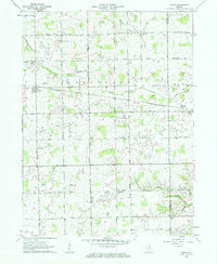 1961 Servia1963 Print · USGSWabash and Huntington Counties are captured here in the early sixties, showing a landscape of small farms and crossroads communities. Researchers can locate family landmarks such as Stockert Cem, Servia Landing Field, and the Erie-Lackawanna rail line.3 unique versions available
 - 1961 Map of North Manchester South, 1963 Print
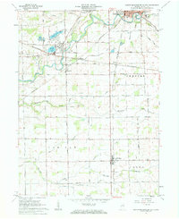 1961 North Manchester South1963 Print · USGSWabash County's agricultural heartland was deeply connected by rail and river in the early 1960s. Genealogists can locate ancestral homesteads near Pleasant Hill Cem & Ch, Laketon, and the quiet crossroads of Ijamsville and Bolivar.3 unique versions available
 - 1962 Map of North Manchester North, 1963 Print
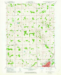 1962 North Manchester North1963 Print · USGSKosciusko and Wabash counties are captured here in the early sixties, showing the rural grid and rail towns of northern Indiana. Genealogists can trace family sites at Rose Hill Cem, West Eel River Ch, and the grounds of Manchester College.2 unique versions available
 - 1962 Map of South Whitley West, 1963 Print
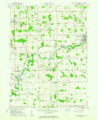 1962 South Whitley West1963 Print · USGSIndiana's Eel River valley comes into sharp focus during the early sixties as a thriving corridor of rail and river commerce. Genealogists and historians can trace the foundations of South Whitley, explore the grounds of Township Sch, or locate family plots in Glenwood Cem and Union Cem.2 unique versions available
 - 1963 Map of Richvalley, 1964 Print
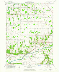 1963 Richvalley1964 Print · USGSRichvalley and the Wabash River corridor are captured here in the early sixties, showing the intersection of heavy rail and river valley life. Researchers can locate the Francis Godfroy Cem, trace the Wabash Railroad, and find early family sites along Carr Road.3 unique versions available
 - 1963 Map of Wabash, 1964 Print
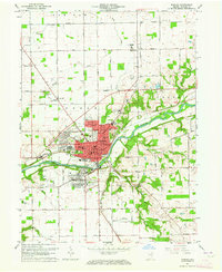 1963 Wabash1964 Print · USGSWabash and its surrounding townships are shown here during a period of post-war growth along the Wabash River. Researchers can trace old family sites across Speicherville, locate rural landmarks like Bachelor Creek Ch, or find historic burials at Falls Cem and Hebrew Cem.3 unique versions available
 - 1969 Map of Somerset, 1971 Print
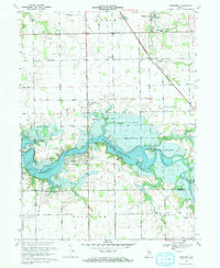 1969 Somerset1971 Print · USGSThe Wabash County countryside was being transformed by the rising Mississinewa Reservoir in the late sixties. Genealogists and local historians can trace the foundations of Somerset, locate the White Institute, and identify rural landmarks like Lebanon Ch and Treaty.3 unique versions available
 - 1969 Map of Peoria, 1971 Print
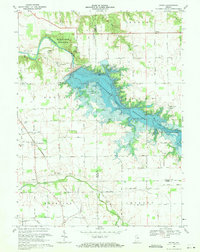 1969 Peoria1971 Print · USGSNear the end of the 1960s, this portion of Indiana saw its river valleys reshaped by the rising Mississinewa Reservoir. Genealogists can locate family landmarks like Slocum Cem and Township Sch alongside the rail lines of the Chesapeake and Ohio.3 unique versions available
 - 1969 Map of Lagro, 1971 Print
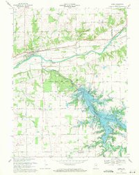 1969 Lagro1971 Print · USGSWabash and Huntington counties meet here in the late sixties, where the rising waters of the Salamonie Reservoir reshape the valley. Genealogists can locate family landmarks like St Patricks Cem, Hopewell Ch, and the settlement of Lincolnville.3 unique versions available
 - 1969 Map of La Fontaine, 1972 Print
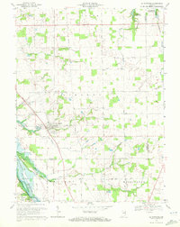 1969 La Fontaine1972 Print · USGSThe rural borderlands of Wabash and Grant counties are captured here in the late sixties as modern reservoirs began to shape the landscape. Local historians can trace family plots at Boundary Line Cem and Gardner Cem or follow the path of the Penn Central through La Fontaine.2 unique versions available
 - 1984 Map of Fort Wayne, 1985 Print
 1984 Fort Wayne1985 Print · USGSNortheast Indiana in the mid-1980s reveals a complex landscape of glacial lakes, thriving college towns, and heavy rail infrastructure. Researchers can trace the development of Winona Lake, locate Manchester College in North Manchester, and find rural landmarks like Oakwood Cem or the Tri-County State Fish and Game Area.
 - 1986 Map of Wabash
 1986 Wabash1986 Print · USGSThe Wabash Valley and surrounding Indiana farm country are captured here in the mid-eighties, showing a landscape reshaped by major reservoirs. Genealogists and local historians can trace the paths of the Old Indian Trail and the industrial reach of the Conrail line through towns like Lagro and Warren.2 unique versions available
Showing maps 1-25 of 86
Top cities of Wabash County
- Wabash historical maps
- North Manchester historical maps
- La Fontaine historical maps
- Lagro historical maps
- Roann historical maps
- Liberty Mills historical maps
Frequently asked questions
- What are the different types of historical maps available for Wabash County?
- What is the oldest map of Wabash County?
- Where can I purchase historical maps of Wabash County for my home or office?
- Where can I download high-res historical maps of Wabash County?
- Are there historical topographic maps available for Wabash County?
- Is there historical aerial imagery available for Wabash County?
- Where are historical maps of Wabash County sourced from?