Old Maps of Wabash, Indiana for Academic Research
Study the evolution of Wabash with 17 high-resolution historic maps. Whether you're teaching, researching, or modeling changes in land use, these maps provide essential visual documentation of urban, environmental, and geographic change.
- Analyze long-term change: Track patterns in development, transportation, and natural features.
- Ideal for environmental or urban studies: Support academic projects with primary historical map data.
- Use in the classroom or lab: Educators and researchers rely on these maps to bring historical context to life.
These maps are a powerful tool for teaching, research, and visualizing how Wabash has changed over the decades.
Wabash, IN maps
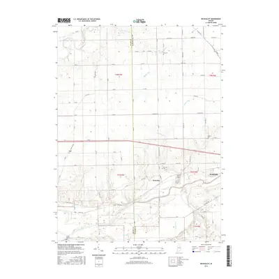
(17)- 1951 Map of Richvalley
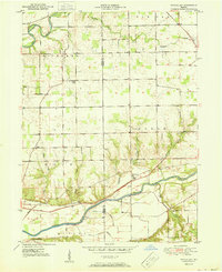 1951 Richvalley1951 Print · USGSThe river valleys of Wabash County are captured here at the start of the 1950s, showing a landscape defined by the Wabash River and the local rail line. Researchers can trace historic family burial sites like Francis Godfroy Cem and early settlements including Richvalley and Erie.2 unique versions available
 - 1952 Map of Wabash
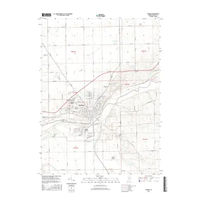
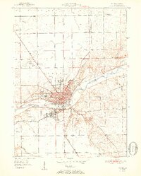 1952 Wabash1952 Print · USGSWabash and its riverfront are captured here in the early fifties, showing the city as a thriving railroad and manufacturing hub. Researchers can trace the layout of downtown and find local landmarks like Linlawn High School, Falls Cemetery, and Speicherville.2 unique versions available
 - 1953 Map of Muncie, 1966 Print
 1953 Muncie1966 Print · USGSIndiana and Ohio borderlands thrive in the early fifties, showing a landscape defined by manufacturing cities and an intensive railroad network. Genealogists can trace family roots across the Indiana-Ohio line through Muncie, Celina, and Portland via the Pennsylvania railroad.5 unique versions available
 - 1956 Map of Muncie
 1956 Muncie1956 Print · USGSEastern Indiana and western Ohio are shown at a peak of rail-driven industry in the mid-fifties. Genealogists and rail historians can trace the paths of the Pennsylvania RR through Muncie or locate landmarks like Lake Saint Marys (Grand Lake Reservoir) and Frances Slocum State Forest.
 - 1963 Map of Richvalley, 1964 Print
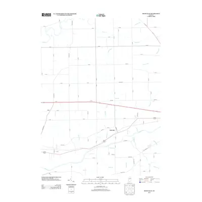
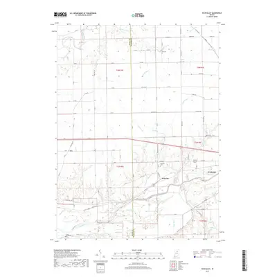
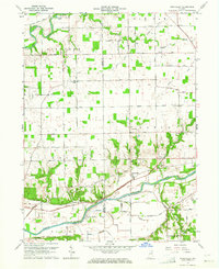 1963 Richvalley1964 Print · USGSRichvalley and the Wabash River corridor are captured here in the early sixties, showing the intersection of heavy rail and river valley life. Researchers can locate the Francis Godfroy Cem, trace the Wabash Railroad, and find early family sites along Carr Road.3 unique versions available
 - 1963 Map of Wabash, 1964 Print
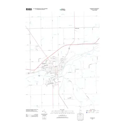
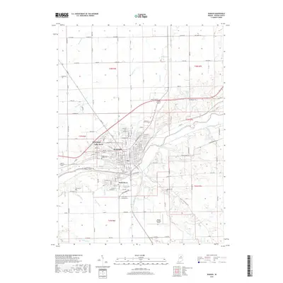
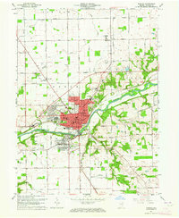 1963 Wabash1964 Print · USGSWabash and its surrounding townships are shown here during a period of post-war growth along the Wabash River. Researchers can trace old family sites across Speicherville, locate rural landmarks like Bachelor Creek Ch, or find historic burials at Falls Cem and Hebrew Cem.3 unique versions available
 - 1986 Map of Wabash
 1986 Wabash1986 Print · USGSThe Wabash Valley and surrounding Indiana farm country are captured here in the mid-eighties, showing a landscape reshaped by major reservoirs. Genealogists and local historians can trace the paths of the Old Indian Trail and the industrial reach of the Conrail line through towns like Lagro and Warren.2 unique versions available
 - 2010 Map of Richvalley, 2010 Print
 2010 Richvalley2010 Print · USGSCovers Wabash, including Erie, Richvalley, and other nearby areas
 - 2010 Map of Wabash, 2010 Print
 2010 Wabash2010 Print · USGSCovers Wabash, including Sunnymede, Speicherville, and other nearby areas
 - 2013 Map of Wabash, 2013 Print
 2013 Wabash2013 Print · USGSCovers Wabash, including Sunnymede, Speicherville, and other nearby areas
 - 2013 Map of Richvalley, 2013 Print
 2013 Richvalley2013 Print · USGSCovers Wabash, including Erie, Richvalley, and other nearby areas
 - 2016 Map of Richvalley, 2016 Print
 2016 Richvalley2016 Print · USGSCovers Wabash, including Erie, Richvalley, and other nearby areas
 - 2016 Map of Wabash, 2016 Print
 2016 Wabash2016 Print · USGSCovers Wabash, including Sunnymede, Speicherville, and other nearby areas
 - 2019 Map of Richvalley, 2019 Print
 2019 Richvalley2019 Print · USGSCovers Wabash, including Erie, Richvalley, and other nearby areas
 - 2019 Map of Wabash, 2019 Print
 2019 Wabash2019 Print · USGSCovers Wabash, including Sunnymede, Speicherville, and other nearby areas
 - 2022 Map of Richvalley, 2022 Print
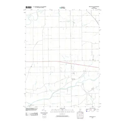
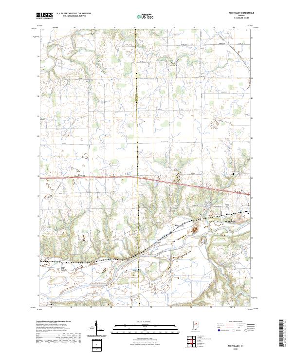 2022 Richvalley2022 Print · USGSThe river valleys of Miami and Wabash Counties are captured here in the early 2020s, showing the enduring agricultural character of the region. Researchers can trace family history at the Francis Godfroy Cem and the Richvalley Cem or locate the small settlement of Erie.
 - 2022 Map of Wabash, 2022 Print
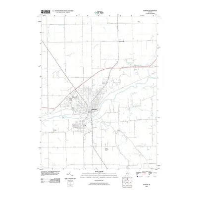
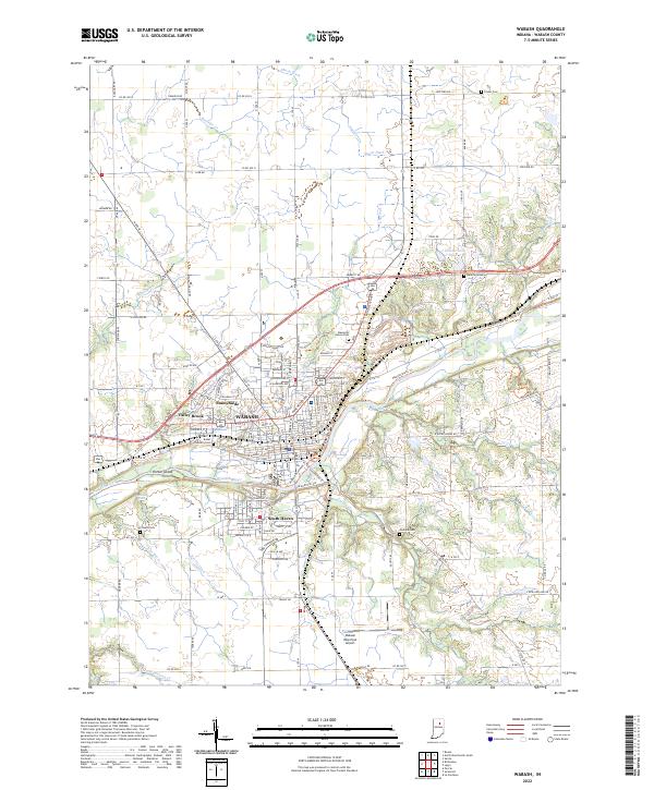 2022 Wabash2022 Print · USGSWabash and its suburban extensions thrive along the river corridor in the early 2020s. Researchers can locate numerous local burial grounds such as Rodef Sholem Cem and Matlock Cem or trace the Norfolk Southern rail lines.
End of results
Showing maps 1-17 of 17
Top cities near Wabash
- Marion historical maps
- Peru historical maps
- North Manchester historical maps
- La Fontaine historical maps
- Sweetser historical maps
- Erie historical maps
See more
Top neighborhoods of Wabash
Frequently asked questions
- What are the different types of historical maps available for Wabash?
- What is the oldest map of Wabash?
- Where can I purchase historical maps of Wabash for my home or office?
- Where can I download high-res historical maps of Wabash?
- Are there historical topographic maps available for Wabash?
- Is there historical aerial imagery available for Wabash?
- Where are historical maps of Wabash sourced from?