Old Maps of Waukon, Iowa for Metal Detecting
Plan your next treasure hunt with 18 historic maps of Waukon. Find old homesites, ghost towns, trails, and gathering spots that may be lost to time — perfect for identifying promising metal detecting locations.
- Locate forgotten sites: Uncover places like long-lost settlements, abandoned rail lines, or gathering spots.
- Plan better hunts: Use map overlays combined with LiDAR or satellite views to narrow in on historically rich areas.
- Made for detectorists: Thousands of hobbyists use these maps to discover relics, coins, and hidden history.
Use these historic maps to boost your research and find new opportunities beneath the surface of Waukon.
Waukon, IA maps
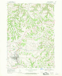
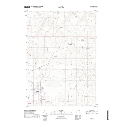
(18)- 1903 Map of Waukon
 1903 Waukon1903 Print · USGSThe Upper Mississippi River valley comes alive in the early 1900s, showing a landscape of steep bluffs, river landings, and early rail lines. You can trace the path of the Chicago Milwaukee and St. Paul RR to the county seat at Waukon or find old riverfront points like Harpers Ferry and Lansing.5 unique versions available
 - 1958 Map of La Crosse, 1979 Print
 1958 La Crosse1979 Print · USGSThe Driftless Area of Wisconsin and Iowa is captured here during the late seventies, showing the intricate river valleys and ridge-top settlements. Genealogists and historians can trace the rail corridors of the Soo Line or locate landmarks like Grandad Bluff and Effigy Mounds National Monument.2 unique versions available
 - 1961 Map of La Crosse
 1961 La Crosse1961 Print · USGSThe Driftless Area at the start of the 1960s reveals a complex network of river towns and rail lines along the Mississippi River. Genealogists and historians can trace old settlements like New Amsterdam and Wyattville or locate major landmarks like Camp McCoy Military Reservation and Effigy Mounds National Monument.
 - 1965 Map of La Crosse
 1965 La Crosse1965 Print · USGSThe Driftless Area and the Upper Mississippi valley are captured here during a period of steady mid-century growth. Researchers can trace the rail lines of the Chicago and North Western or locate riverfront sites like Effigy Mounds National Monument and the Camp McCoy Military Reservation.
 - 1968 Map of Waukon, 1970 Print
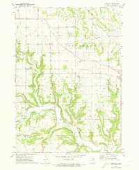
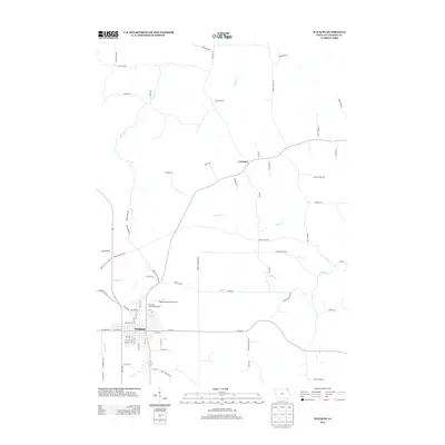
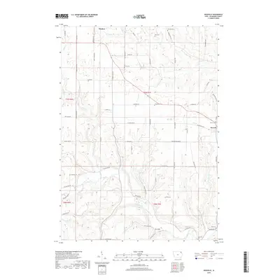
 1968 Waukon1970 Print · USGSThe Allamakee County seat at Waukon is captured here in the late sixties, showing a town and its surrounding agricultural valleys. Researchers can trace family sites at Oakland Cemetery, the community around St Marys Ch in Lycurgus, and the Fairground.
 - 1971 Map of Rossville, 1973 Print
 1971 Rossville1973 Print · USGSAllamakee County farmland meets the winding Yellow River in the early 1970s. Genealogists and researchers can trace local family landmarks through Evergreen Cem, the Forest Mills Ch, and the small settlement of Rossville.
 - 1976 Map of La Crosse
 1976 La Crosse1976 Print · USGSThe Driftless Area and Mississippi River valley are captured here in the mid-seventies, showing a landscape of deep coulees and river commerce. Genealogists can trace family footprints from La Crosse to smaller hamlets like Newburg Corners and Witoka.
 - 1985 Map of Decorah
 1985 Decorah1985 Print · USGSNortheast Iowa and western Wisconsin in the mid-eighties show a landscape of high bluffs and river valleys shaped by the Upper Iowa and Mississippi Rivers. Genealogists and historians can trace the paths of the Chicago Milwaukee St Paul and Pacific railroad or locate the National Cemetery and the ancient earthworks at Effigy Mounds National Monument.2 unique versions available
 - 2010 Map of Waukon, 2010 Print
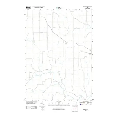
 2010 Waukon2010 Print · USGSCovers Waukon, including Lycurgus, Allamakee County, and other nearby areas
 - 2010 Map of Rossville, 2010 Print
 2010 Rossville2010 Print · USGSCovers Waukon, including Rossville, Allamakee County, and other nearby areas
 - 2013 Map of Waukon, 2013 Print
 2013 Waukon2013 Print · USGSCovers Waukon, including Lycurgus, Allamakee County, and other nearby areas
 - 2013 Map of Rossville, 2013 Print
 2013 Rossville2013 Print · USGSCovers Waukon, including Rossville, Allamakee County, and other nearby areas
 - 2015 Map of Waukon, 2015 Print
 2015 Waukon2015 Print · USGSCovers Waukon, including Lycurgus, Allamakee County, and other nearby areas
 - 2015 Map of Rossville, 2015 Print
 2015 Rossville2015 Print · USGSCovers Waukon, including Rossville, Allamakee County, and other nearby areas
 - 2018 Map of Waukon, 2018 Print
 2018 Waukon2018 Print · USGSCovers Waukon, including Lycurgus, Allamakee County, and other nearby areas
 - 2018 Map of Rossville, 2018 Print
 2018 Rossville2018 Print · USGSCovers Waukon, including Rossville, Allamakee County, and other nearby areas
 - 2022 Map of Waukon, 2022 Print
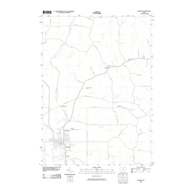
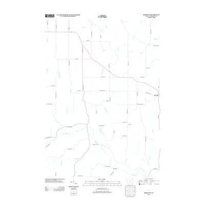
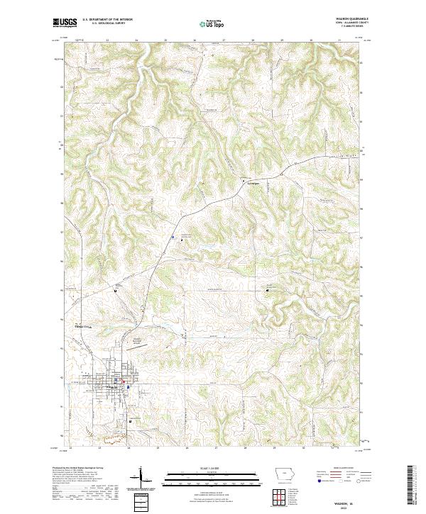 2022 Waukon2022 Print · USGSAllamakee County's agricultural and civic center is captured here during its modern development. Genealogists and local researchers can trace long-standing landmarks such as the Allamakee County Courthouse, Oakland Cem, and the rural community of Lycurgus.
 - 2022 Map of Rossville, 2022 Print
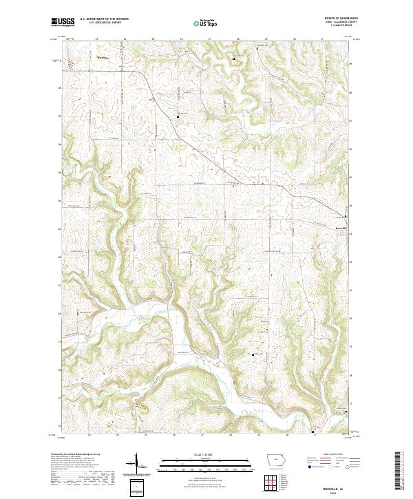 2022 Rossville2022 Print · USGSAllamakee County's rolling hills and river valleys are shown in detail as they appeared in the early 2020s. Genealogists and historians can trace family roots at Ebenezer Cem, Rossville Cem, and the Smithfield Cem near the Yellow River.
End of results
Showing maps 1-18 of 18
Top cities near Waukon
- Postville historical maps
- Monona historical maps
- Lansing historical maps
- Luana historical maps
- Castalia historical maps
- Waterville historical maps
Frequently asked questions
- What are the different types of historical maps available for Waukon?
- What is the oldest map of Waukon?
- Where can I purchase historical maps of Waukon for my home or office?
- Where can I download high-res historical maps of Waukon?
- Are there historical topographic maps available for Waukon?
- Is there historical aerial imagery available for Waukon?
- Where are historical maps of Waukon sourced from?