Old Maps of Van Horne, Iowa for Academic Research
Study the evolution of Van Horne with 9 high-resolution historic maps. Whether you're teaching, researching, or modeling changes in land use, these maps provide essential visual documentation of urban, environmental, and geographic change.
- Analyze long-term change: Track patterns in development, transportation, and natural features.
- Ideal for environmental or urban studies: Support academic projects with primary historical map data.
- Use in the classroom or lab: Educators and researchers rely on these maps to bring historical context to life.
These maps are a powerful tool for teaching, research, and visualizing how Van Horne has changed over the decades.
Van Horne, IA maps
(9)- 1954 Map of Waterloo, 1968 Print
 1954 Waterloo1968 Print · USGSCentral Iowa at the height of its mid-century agricultural and rail boom features the growing hubs of Waterloo and Cedar Falls. Genealogists and researchers can trace the rail corridors of the Chicago Great Western and find local landmarks like Iowa State College and Brushy Ridge.4 unique versions available
 - 1955 Map of Waterloo
 1955 Waterloo1955 Print · USGSCentral Iowa in the mid-fifties presents a dense landscape of rail-connected farming towns and growing river cities. Researchers can trace ancestral roots and old transport routes through Waterloo, Marshalltown, and Ames, while locating rural Cemeteries and local Quarries.2 unique versions available
 - 1971 Map of Van Horne, 1973 Print
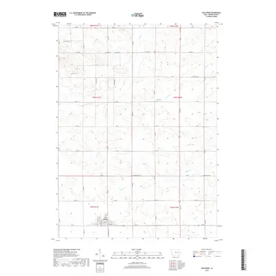
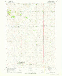 1971 Van Horne1973 Print · USGSBenton County farm country is captured here in the early 1970s, centered on the railroad town of Van Horne. Genealogists and historians can trace the sections of Big Grove and Eldorado townships, locating Big Grove Cem and the rural Townhall.
 - 1984 Map of Marshalltown, 1985 Print
 1984 Marshalltown1985 Print · USGSMid-Iowa's agricultural landscape and river corridors come alive in the mid-eighties as the Cedar River connects industrial hubs and small farm towns. Trace the tracks of the CHICAGO AND NORTHWESTERN or locate local landmarks like Union Grove State Park and Cedar Falls Junction.2 unique versions available
 - 2010 Map of Van Horne, 2010 Print
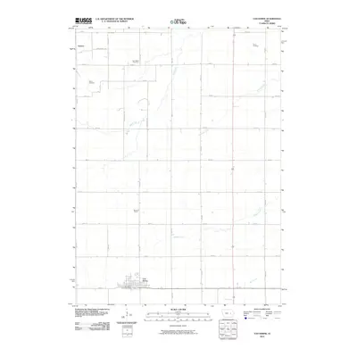 2010 Van Horne2010 Print · USGSCovers Van Horne, including Benton County, United States, and other nearby areas
 - 2013 Map of Van Horne, 2013 Print
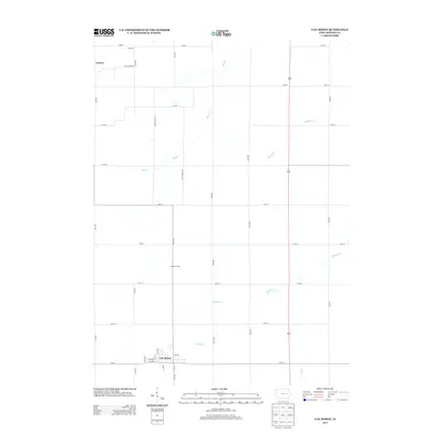 2013 Van Horne2013 Print · USGSCovers Van Horne, including Benton County, United States, and other nearby areas
 - 2015 Map of Van Horne, 2015 Print
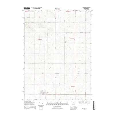 2015 Van Horne2015 Print · USGSCovers Van Horne, including Benton County, United States, and other nearby areas
 - 2018 Map of Van Horne, 2018 Print
 2018 Van Horne2018 Print · USGSCovers Van Horne, including Benton County, United States, and other nearby areas
 - 2022 Map of Van Horne, 2022 Print
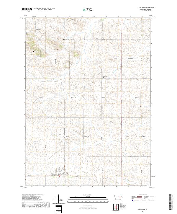 2022 Van Horne2022 Print · USGSBenton County agriculture and rural life are captured here in the early twenty-first century, centered on the village of Van Horne. Genealogists and local historians can locate early burial sites like Big Grove Cem and Indian Cem among the surrounding farms.
End of results
Showing maps 1-9 of 9
Top cities near Van Horne
- Vinton historical maps
- Marengo historical maps
- Belle Plaine historical maps
- Atkins historical maps
- Urbana historical maps
- Dysart historical maps
See more
Frequently asked questions
- What are the different types of historical maps available for Van Horne?
- What is the oldest map of Van Horne?
- Where can I purchase historical maps of Van Horne for my home or office?
- Where can I download high-res historical maps of Van Horne?
- Are there historical topographic maps available for Van Horne?
- Is there historical aerial imagery available for Van Horne?
- Where are historical maps of Van Horne sourced from?