2000s (21st Century) Maps of Carlisle, Iowa
Explore 20 historic maps of Carlisle from the 2000s (21st Century). These maps offer a rare glimpse into what life looked like during the 2000s — showing old roads, neighborhoods, homes, and landmarks that have changed or disappeared over time.
Whether you're researching your family's past, planning a metal detecting trip, or studying how Carlisle's landscape evolved across the 2000s, these high-resolution maps are a powerful tool for exploring the history of this region.
- Focus on a specific era: All maps on this page are from the 2000s, giving you a focused view of this time period.
- See what’s changed: Compare century-old streets, trails, and buildings to today's modern landscape using overlays and satellite layers.
- Research with precision: Use these maps for genealogy, historical research, land use analysis, or educational projects.
- View, download, or print: Maps are fully viewable online in high resolution, and can be downloaded or printed for your own records.
Start exploring Carlisle's history through authentic maps from the 2000s. This is your window into the past.
Carlisle, IA maps
(20)- 2010 Map of Scotch Ridge, 2010 Print
 2010 Scotch Ridge2010 Print · USGSCovers Carlisle, including Des Moines, Indianola, and other nearby areas
 - 2010 Map of Des Moines SE, 2010 Print
 2010 Des Moines SE2010 Print · USGSCovers Carlisle, including Des Moines, Pleasant Hill, and other nearby areas
 - 2010 Map of Hartford, 2010 Print
 2010 Hartford2010 Print · USGSCovers Carlisle, including Hartford, Greenbush, and other nearby areas
 - 2010 Map of Rising Sun, 2010 Print
 2010 Rising Sun2010 Print · USGSCovers Carlisle, including Des Moines, Altoona, and other nearby areas
 - 2013 Map of Scotch Ridge, 2013 Print
 2013 Scotch Ridge2013 Print · USGSCovers Carlisle, including Des Moines, Indianola, and other nearby areas
 - 2013 Map of Rising Sun, 2013 Print
 2013 Rising Sun2013 Print · USGSCovers Carlisle, including Des Moines, Altoona, and other nearby areas
 - 2013 Map of Hartford, 2013 Print
 2013 Hartford2013 Print · USGSCovers Carlisle, including Hartford, Greenbush, and other nearby areas
 - 2013 Map of Des Moines SE, 2013 Print
 2013 Des Moines SE2013 Print · USGSCovers Carlisle, including Des Moines, Pleasant Hill, and other nearby areas
 - 2015 Map of Scotch Ridge, 2015 Print
 2015 Scotch Ridge2015 Print · USGSCovers Carlisle, including Des Moines, Indianola, and other nearby areas
 - 2015 Map of Rising Sun, 2015 Print
 2015 Rising Sun2015 Print · USGSCovers Carlisle, including Des Moines, Altoona, and other nearby areas
 - 2015 Map of Hartford, 2015 Print
 2015 Hartford2015 Print · USGSCovers Carlisle, including Hartford, Greenbush, and other nearby areas
 - 2015 Map of Des Moines SE, 2015 Print
 2015 Des Moines SE2015 Print · USGSCovers Carlisle, including Des Moines, Pleasant Hill, and other nearby areas
 - 2018 Map of Scotch Ridge, 2018 Print
 2018 Scotch Ridge2018 Print · USGSCovers Carlisle, including Des Moines, Indianola, and other nearby areas
 - 2018 Map of Des Moines SE, 2018 Print
 2018 Des Moines SE2018 Print · USGSCovers Carlisle, including Des Moines, Pleasant Hill, and other nearby areas
 - 2018 Map of Rising Sun, 2018 Print
 2018 Rising Sun2018 Print · USGSCovers Carlisle, including Des Moines, Altoona, and other nearby areas
 - 2018 Map of Hartford, 2018 Print
 2018 Hartford2018 Print · USGSCovers Carlisle, including Hartford, Greenbush, and other nearby areas
 - 2022 Map of Hartford, 2022 Print
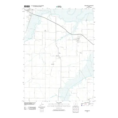
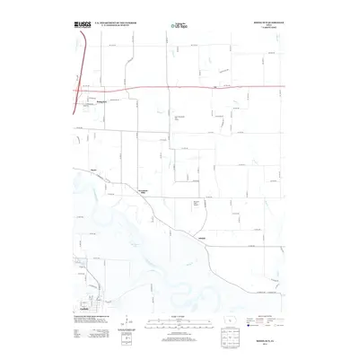
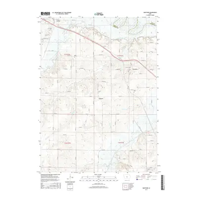
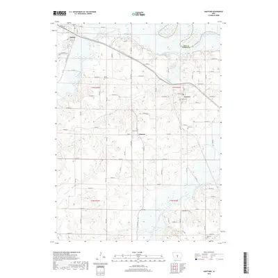
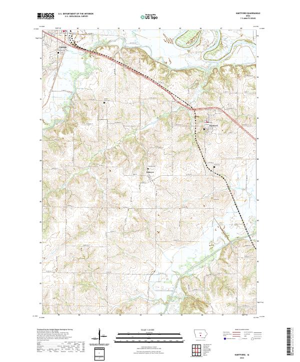 2022 Hartford2022 Print · USGSWarren and Polk counties are mapped here in the early twenty-first century as the Des Moines and Middle rivers converge. Researchers can locate several historical burial sites including Middle River Cem and Palmyra Cem, or trace the rural reaches of Skinaway Cr.
 - 2022 Map of Des Moines SE, 2022 Print
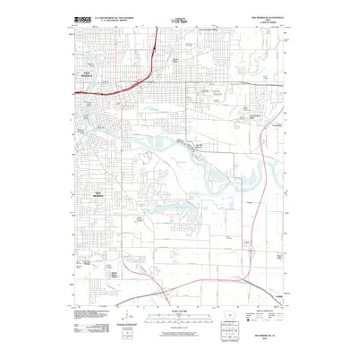
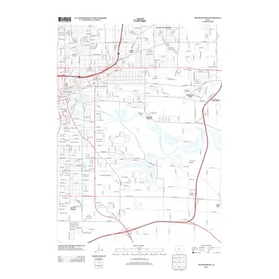
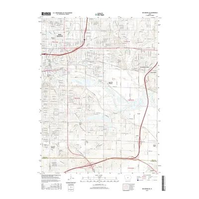
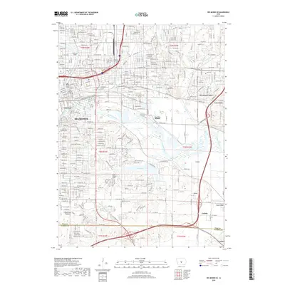
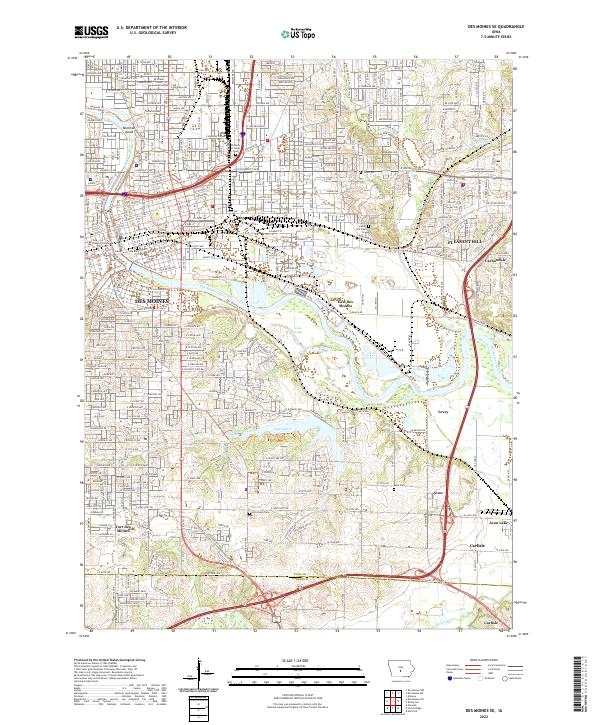 2022 Des Moines SE2022 Print · USGSDes Moines and its southeastern suburbs are captured here during a period of modern expansion along the river valleys. Genealogists and local historians can trace legacy sites like Fort Des Moines, Children of Israel Cem, and the old rail paths of the CB AND Q ST.
 - 2022 Map of Rising Sun, 2022 Print
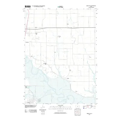
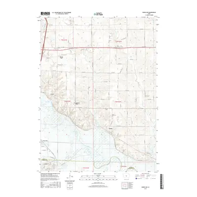
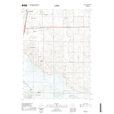
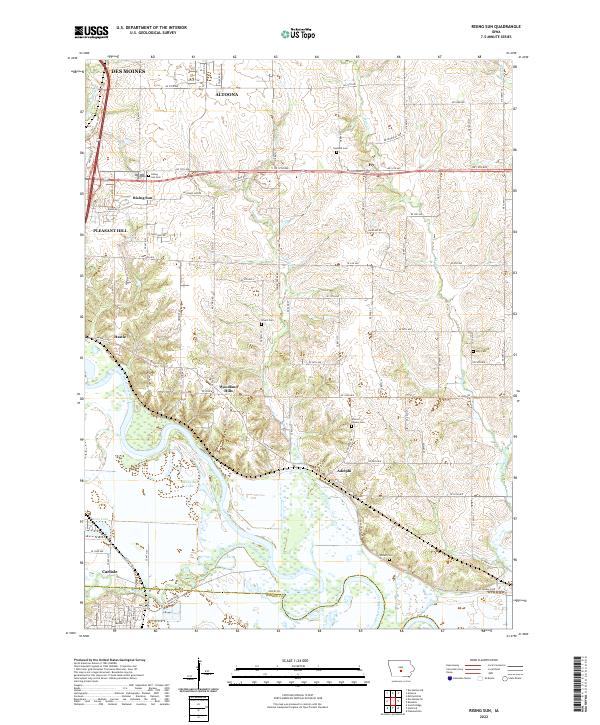 2022 Rising Sun2022 Print · USGSSoutheast of the state capital, this area shows the meeting of river bottomlands and growing suburban corridors during the early 2020s. Genealogists can locate several family-named burial sites including Warren Powers Cem, Wicker Cem, and the riverfront settlement of Adelphi.
 - 2022 Map of Scotch Ridge, 2022 Print
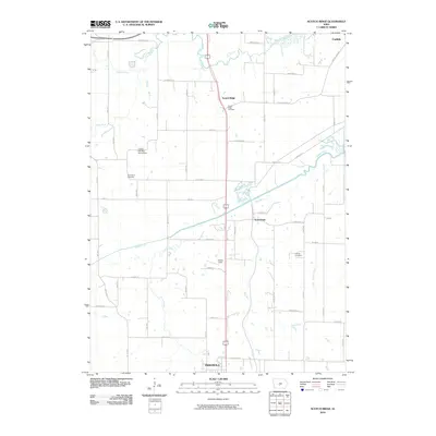
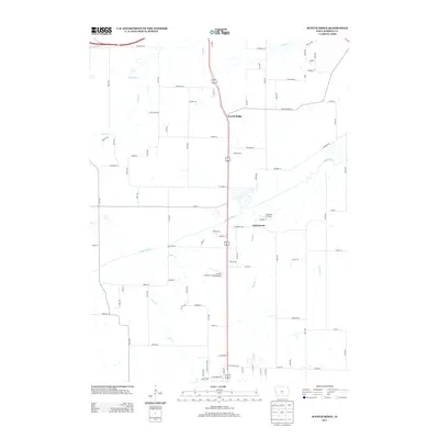
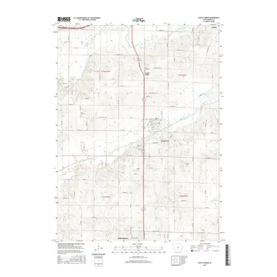
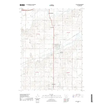
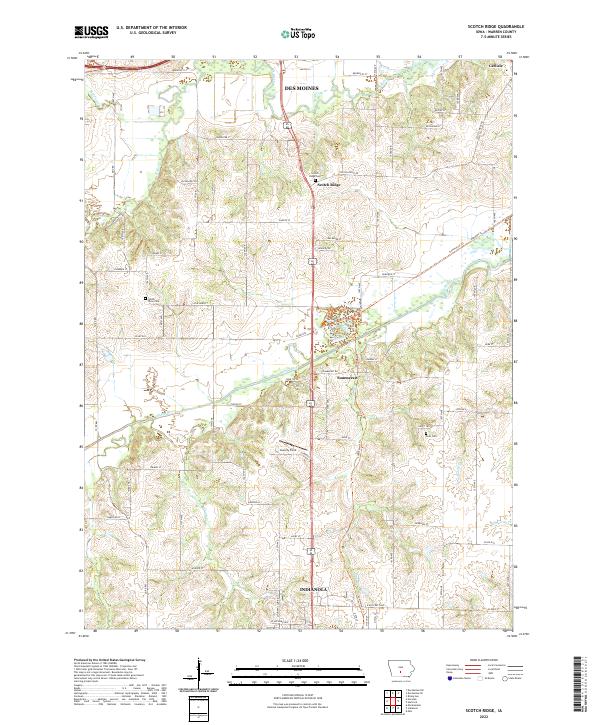 2022 Scotch Ridge2022 Print · USGSWarren County in the 2020s shows a landscape where the river valleys of the Middle River and N River meet growing communities. Researchers can trace local heritage at Scotch Ridge Cem or follow the path of the Summerset Trl.
End of results
Showing maps 1-20 of 20
Top cities near Carlisle
- Des Moines historical maps
- West Des Moines historical maps
- Ankeny historical maps
- Urbandale historical maps
- Johnston historical maps
- Altoona historical maps
See more
Frequently asked questions
- What are the different types of historical maps available for Carlisle?
- What is the oldest map of Carlisle?
- Where can I purchase historical maps of Carlisle for my home or office?
- Where can I download high-res historical maps of Carlisle?
- Are there historical topographic maps available for Carlisle?
- Is there historical aerial imagery available for Carlisle?
- Where are historical maps of Carlisle sourced from?