Old Maps of Cerro Gordo County, Iowa for Genealogy
Trace your family roots with 40 historic maps of Cerro Gordo County. These high-res maps reveal old neighborhoods, homesites, landmarks, and streets — helping you uncover where your ancestors lived and how the area evolved over time.
- Explore historic neighborhoods: Identify where your relatives may have lived in the 1800s or 1900s.
- Compare maps over time: Trace the changes in streets, buildings, and landmarks for multi-generational research.
- Perfect for genealogy & ancestry research: Used by family historians and researchers to map out lineage and migration.
These maps are an incredible resource for exploring your personal connection to Cerro Gordo County's past.
Cerro Gordo County, IA maps
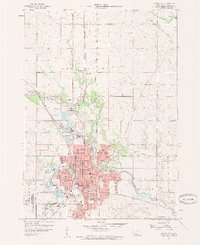
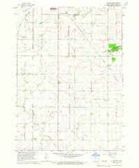
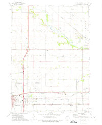
(40)- 1954 Map of Mason City, 1967 Print
 1954 Mason City1967 Print · USGSCovers Cerro Gordo County, including Rochester, Mason City, and other nearby areas2 unique versions available
 - 1954 Map of Waterloo, 1968 Print
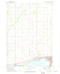
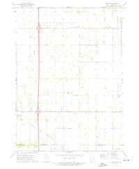
 1954 Waterloo1968 Print · USGSCovers Cerro Gordo County, including Waterloo, Ames, and other nearby areas4 unique versions available
 - 1955 Map of Waterloo
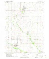
 1955 Waterloo1955 Print · USGSCovers Cerro Gordo County, including Waterloo, Ames, and other nearby areas2 unique versions available
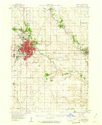
 - 1957 Map of Mason City
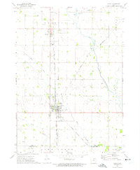
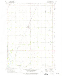
 1957 Mason City1957 Print · USGSCovers Cerro Gordo County, including Rochester, Mason City, and other nearby areas
 - 1958 Map of Mason City
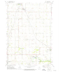
 1958 Mason City1958 Print · USGSCovers Cerro Gordo County, including Rochester, Mason City, and other nearby areas
 - 1959 Map of Mason City, 1960 Print
 1959 Mason City1960 Print · USGSCovers Cerro Gordo County, including Mason City, Plymouth, and other nearby areas2 unique versions available
 - 1959 Map of Mason City, 1961 Print
 1959 Mason City1961 Print · USGSCovers Cerro Gordo County, including Mason City, Nora Springs, and other nearby areas
 - 1959 Map of Nora Springs, 1966 Print
 1959 Nora Springs1966 Print · USGSCovers Cerro Gordo County, including Mason City, Nora Springs, and other nearby areas
 - 1959 Map of Mason City SE, 1966 Print
 1959 Mason City SE1966 Print · USGSCovers Cerro Gordo County, including Floyd County, United States, and other nearby areas
 - 1959 Map of Hanford, 1966 Print
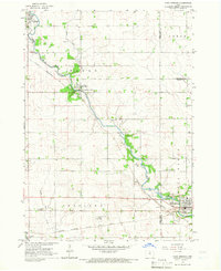
 1959 Hanford1966 Print · USGSCovers Cerro Gordo County, including Mason City, Hanford, and other nearby areas
 - 1972 Map of Clear Lake West
 1972 Clear Lake West1972 Print · USGSCovers Cerro Gordo County, including Clear Lake, Ventura, and other nearby areas
 - 1972 Map of Manly, 1975 Print
 1972 Manly1975 Print · USGSCovers Cerro Gordo County, including Manly, Plymouth, and other nearby areas
 - 1972 Map of Fertile, 1975 Print
 1972 Fertile1975 Print · USGSCovers Cerro Gordo County, including Fertile, Joice, and other nearby areas
 - 1972 Map of Thornton, 1975 Print
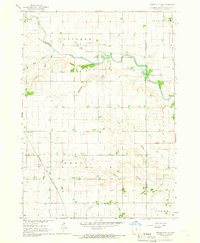
 1972 Thornton1975 Print · USGSCovers Cerro Gordo County, including Thornton, Meservey, and other nearby areas
 - 1972 Map of Dougherty, 1975 Print
 1972 Dougherty1975 Print · USGSCovers Cerro Gordo County, including Dougherty, Cartersville, and other nearby areas
 - 1972 Map of Swaledale, 1975 Print
 1972 Swaledale1975 Print · USGSCovers Cerro Gordo County, including Thornton, Swaledale, and other nearby areas
 - 1972 Map of Burchinal, 1975 Print
 1972 Burchinal1975 Print · USGSCovers Cerro Gordo County, including Clear Lake, Burchinal, and other nearby areas
 - 1972 Map of Clear Lake East, 1975 Print
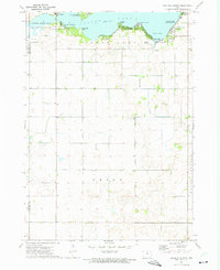
 1972 Clear Lake East1975 Print · USGSCovers Cerro Gordo County, including Mason City, Clear Lake, and other nearby areas
 - 1972 Map of Fertile SE, 1975 Print
 1972 Fertile SE1975 Print · USGSCovers Cerro Gordo County, including Hanlontown, Worth County, and other nearby areas
 - 1972 Map of Sheffield, 1975 Print
 1972 Sheffield1975 Print · USGSCovers Cerro Gordo County, including Sheffield, Rockwell, and other nearby areas
 - 1972 Map of Grafton, 1975 Print
 1972 Grafton1975 Print · USGSCovers Cerro Gordo County, including Plymouth, Grafton, and other nearby areas
 - 1972 Map of Ventura Heights, 1975 Print
 1972 Ventura Heights1975 Print · USGSCovers Cerro Gordo County, including Clear Lake, Ventura, and other nearby areas
 - 1984 Map of Iowa Falls, 1985 Print
 1984 Iowa Falls1985 Print · USGSCovers Cerro Gordo County, including Iowa Falls, Hampton, and other nearby areas2 unique versions available
 - 1985 Map of Mason City
 1985 Mason City1985 Print · USGSCovers Cerro Gordo County, including Mason City, Clear Lake, and other nearby areas2 unique versions available
 - 2022 Map of Clear Lake East, 2022 Print
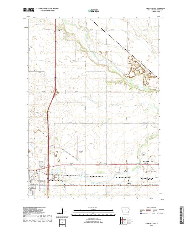 2022 Clear Lake East2022 Print · USGSCovers Cerro Gordo County, including Mason City, Clear Lake, and other nearby areas
Showing maps 1-25 of 40
Top cities of Cerro Gordo County
- Mason City historical maps
- Clear Lake historical maps
- Rockwell historical maps
- Ventura historical maps
- Thornton historical maps
- Plymouth historical maps
See more
Frequently asked questions
- What are the different types of historical maps available for Cerro Gordo County?
- What is the oldest map of Cerro Gordo County?
- Where can I purchase historical maps of Cerro Gordo County for my home or office?
- Where can I download high-res historical maps of Cerro Gordo County?
- Are there historical topographic maps available for Cerro Gordo County?
- Is there historical aerial imagery available for Cerro Gordo County?
- Where are historical maps of Cerro Gordo County sourced from?