2000s (21st Century) Maps of Cerro Gordo County, Iowa
Explore 80 historic maps of Cerro Gordo County from the 2000s (21st Century). These maps offer a rare glimpse into what life looked like during the 2000s — showing old roads, neighborhoods, homes, and landmarks that have changed or disappeared over time.
Whether you're researching your family's past, planning a metal detecting trip, or studying how Cerro Gordo County's landscape evolved across the 2000s, these high-resolution maps are a powerful tool for exploring the history of this region.
- Focus on a specific era: All maps on this page are from the 2000s, giving you a focused view of this time period.
- See what’s changed: Compare century-old streets, trails, and buildings to today's modern landscape using overlays and satellite layers.
- Research with precision: Use these maps for genealogy, historical research, land use analysis, or educational projects.
- View, download, or print: Maps are fully viewable online in high resolution, and can be downloaded or printed for your own records.
Start exploring Cerro Gordo County's history through authentic maps from the 2000s. This is your window into the past.
Cerro Gordo County, IA maps
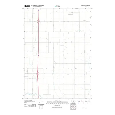
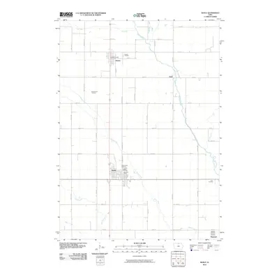
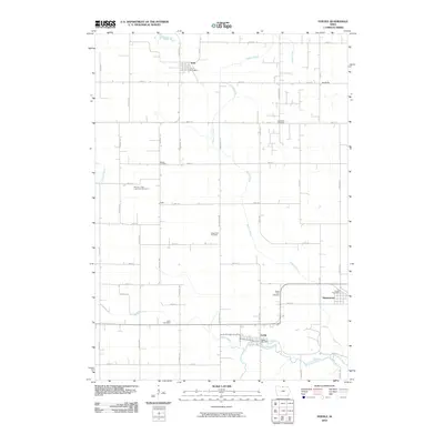
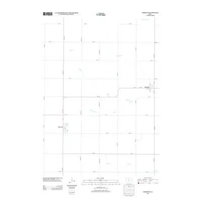
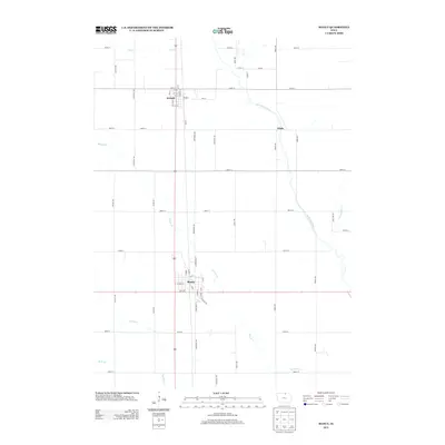
(80)- 2010 Map of Thornton, 2010 Print
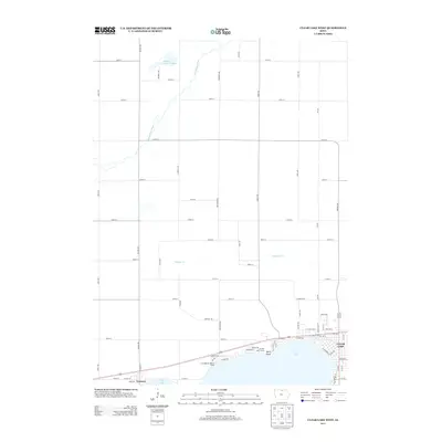
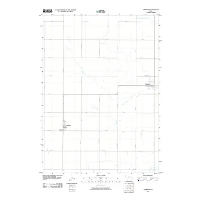 2010 Thornton2010 Print · USGSCovers Cerro Gordo County, including Thornton, Meservey, and other nearby areas
 - 2010 Map of Dougherty, 2010 Print
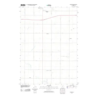
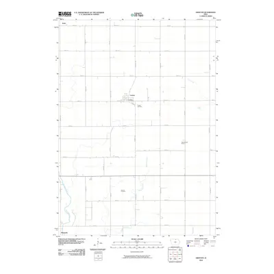
 2010 Dougherty2010 Print · USGSCovers Cerro Gordo County, including Dougherty, Cartersville, and other nearby areas
 - 2010 Map of Sheffield, 2010 Print
 2010 Sheffield2010 Print · USGSCovers Cerro Gordo County, including Sheffield, Rockwell, and other nearby areas
 - 2010 Map of Swaledale, 2010 Print
 2010 Swaledale2010 Print · USGSCovers Cerro Gordo County, including Thornton, Swaledale, and other nearby areas
 - 2010 Map of Fertile SE, 2010 Print
 2010 Fertile SE2010 Print · USGSCovers Cerro Gordo County, including Hanlontown, Worth County, and other nearby areas
 - 2010 Map of Clear Lake West, 2010 Print
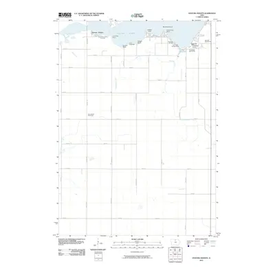
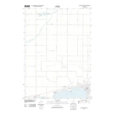 2010 Clear Lake West2010 Print · USGSCovers Cerro Gordo County, including Clear Lake, Ventura, and other nearby areas
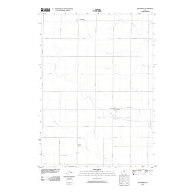
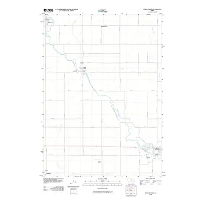
 - 2010 Map of Hanford, 2010 Print
 2010 Hanford2010 Print · USGSCovers Cerro Gordo County, including Mason City, Mason City Junction, and other nearby areas
 - 2010 Map of Mason City, 2010 Print
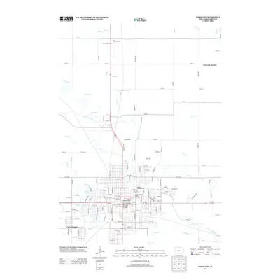
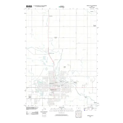 2010 Mason City2010 Print · USGSCovers Cerro Gordo County, including Mason City, Plymouth, and other nearby areas
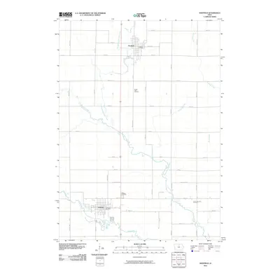
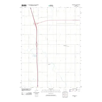
 - 2010 Map of Manly, 2010 Print
 2010 Manly2010 Print · USGSCovers Cerro Gordo County, including Manly, Plymouth, and other nearby areas
 - 2010 Map of Nora Springs, 2010 Print
 2010 Nora Springs2010 Print · USGSCovers Cerro Gordo County, including Mason City, Nora Springs, and other nearby areas
 - 2010 Map of Mason City SE, 2010 Print
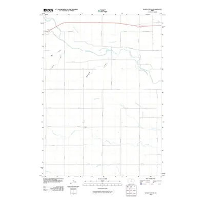 2010 Mason City SE2010 Print · USGSCovers Cerro Gordo County, including Floyd County, United States, and other nearby areas
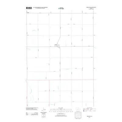
 - 2010 Map of Grafton, 2010 Print
 2010 Grafton2010 Print · USGSCovers Cerro Gordo County, including Plymouth, Grafton, and other nearby areas
 - 2010 Map of Fertile, 2010 Print
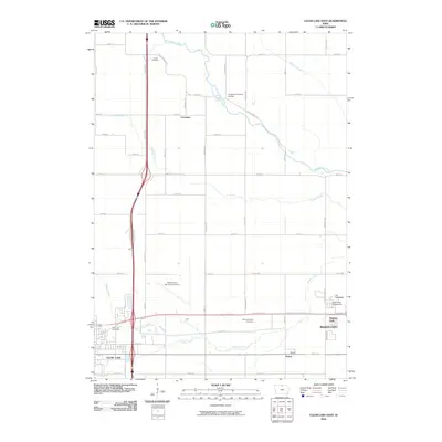
 2010 Fertile2010 Print · USGSCovers Cerro Gordo County, including Fertile, Joice, and other nearby areas
 - 2010 Map of Burchinal, 2010 Print
 2010 Burchinal2010 Print · USGSCovers Cerro Gordo County, including Clear Lake, Burchinal, and other nearby areas
 - 2010 Map of Ventura Heights, 2010 Print
 2010 Ventura Heights2010 Print · USGSCovers Cerro Gordo County, including Clear Lake, Ventura, and other nearby areas
 - 2010 Map of Clear Lake East, 2010 Print
 2010 Clear Lake East2010 Print · USGSCovers Cerro Gordo County, including Mason City, Clear Lake, and other nearby areas
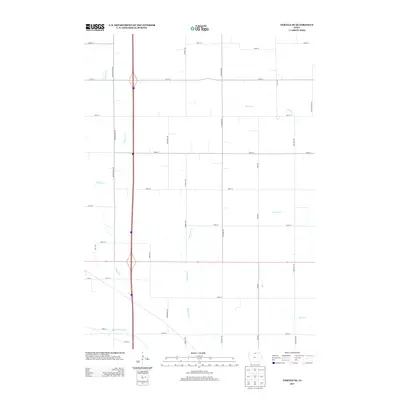
 - 2013 Map of Thornton, 2013 Print
 2013 Thornton2013 Print · USGSCovers Cerro Gordo County, including Thornton, Meservey, and other nearby areas
 - 2013 Map of Mason City, 2013 Print
 2013 Mason City2013 Print · USGSCovers Cerro Gordo County, including Mason City, Plymouth, and other nearby areas
 - 2013 Map of Mason City SE, 2013 Print
 2013 Mason City SE2013 Print · USGSCovers Cerro Gordo County, including Floyd County, United States, and other nearby areas
 - 2013 Map of Burchinal, 2013 Print
 2013 Burchinal2013 Print · USGSCovers Cerro Gordo County, including Clear Lake, Burchinal, and other nearby areas
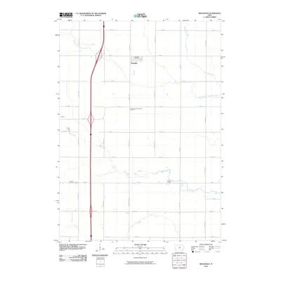
 - 2013 Map of Manly, 2013 Print
 2013 Manly2013 Print · USGSCovers Cerro Gordo County, including Manly, Plymouth, and other nearby areas
 - 2013 Map of Grafton, 2013 Print
 2013 Grafton2013 Print · USGSCovers Cerro Gordo County, including Plymouth, Grafton, and other nearby areas
 - 2013 Map of Fertile SE, 2013 Print
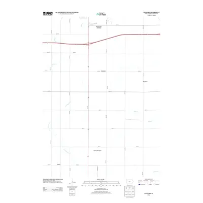
 2013 Fertile SE2013 Print · USGSCovers Cerro Gordo County, including Hanlontown, Worth County, and other nearby areas
 - 2013 Map of Hanford, 2013 Print
 2013 Hanford2013 Print · USGSCovers Cerro Gordo County, including Mason City, Mason City Junction, and other nearby areas
 - 2013 Map of Clear Lake West, 2013 Print
 2013 Clear Lake West2013 Print · USGSCovers Cerro Gordo County, including Clear Lake, Ventura, and other nearby areas
Showing maps 1-25 of 80
Top cities of Cerro Gordo County
- Mason City historical maps
- Clear Lake historical maps
- Rockwell historical maps
- Ventura historical maps
- Thornton historical maps
- Plymouth historical maps
See more
Frequently asked questions
- What are the different types of historical maps available for Cerro Gordo County?
- What is the oldest map of Cerro Gordo County?
- Where can I purchase historical maps of Cerro Gordo County for my home or office?
- Where can I download high-res historical maps of Cerro Gordo County?
- Are there historical topographic maps available for Cerro Gordo County?
- Is there historical aerial imagery available for Cerro Gordo County?
- Where are historical maps of Cerro Gordo County sourced from?