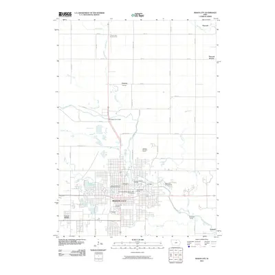
2010 Map of Mason City
USGS Topo · Published 2010About this map
The Winnebago River winds through the heart of north-central Iowa, shaping the urban development of Mason City and its surrounding communities. Several river crossings define the city's pedestrian and automotive infrastructure, most notably the Meredith Willson-Music Man Footbridge, which honors the town's connection to American musical history. The grid-based settlement pattern extends toward satellite communities like Central Heights and Portland, while the northern reaches of the quadrangle include the smaller villages of Plymouth and Plymouth Junction. Large tracts of land are dedicated to communal history and recreation, visible in the cluster of burial grounds including Elmwood Cemetery and the Independent Order of Odd Fellows Cemetery. Small water bodies like Lake Cora Toma and Sunset Lake dot the western landscape, indicating the varied glacial topography of the region.
Find a feature on this map
30 named features on this map. Tap any name to fly to it.
Don’t see what you’re looking for? This feature index may not catch every label — zoom into the map to look around manually.
Map Details
Editions of this 2010 Mason City Map
This is the sole edition of this map. No revisions or reprints were ever made.
Other maps of this area

1954 · Mason City
USGS Topo · 1:250,000

1957 · Mason City
USGS Topo · 1:250,000

1958 · Mason City
USGS Topo · 1:250,000

1959 · Mason City
USGS Topo · 1:24,000

1959 · Mason City
USGS Topo · 1:62,500

1959 · Nora Springs
USGS Topo · 1:24,000

1959 · Mason City SE
USGS Topo · 1:24,000

1959 · Hanford
USGS Topo · 1:24,000

1972 · Manly
USGS Topo · 1:24,000

1972 · Burchinal
USGS Topo · 1:24,000