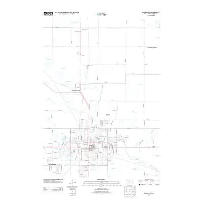
2013 Map of Mason City
USGS Topo · Published 2013About this map
The Winnebago River meanders through this landscape, defining the layout of northern Iowa's communities and recreational spaces. The map shows the suburban expansion of Central Heights to the south and the rail-oriented intersection at Plymouth Junction in the northeast. This 2013 survey illustrates a transition from dense urban street grids to larger outlying facilities like Harris Field Airport and the Highland Park Golf Course.
Find a feature on this map
118 named features on this map. Tap any name to fly to it.
Don’t see what you’re looking for? This feature index may not catch every label — zoom into the map to look around manually.
Map Details
Editions of this 2013 Mason City Map
This is the sole edition of this map. No revisions or reprints were ever made.
Other maps of this area

1954 · Mason City
USGS Topo · 1:250,000

1957 · Mason City
USGS Topo · 1:250,000

1958 · Mason City
USGS Topo · 1:250,000

1959 · Mason City
USGS Topo · 1:24,000

1959 · Mason City
USGS Topo · 1:62,500

1959 · Nora Springs
USGS Topo · 1:24,000

1959 · Mason City SE
USGS Topo · 1:24,000

1959 · Hanford
USGS Topo · 1:24,000

1972 · Manly
USGS Topo · 1:24,000

1972 · Burchinal
USGS Topo · 1:24,000