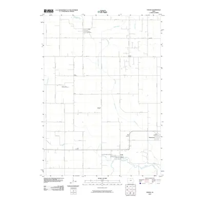
2010 Map of Fertile
USGS Topo · Published 2010About this map
The Winnebago River and its tributaries carve a path through the agricultural landscape of northern Iowa in this 2010 survey. The settlement of Fertile sits at the southern bend of the river, anchored by the Fertile Post Office. To the north, the small communities of Joice and Hanlontown serve as regional nodes, with the latter featuring the Grafton Post Office. The area is notably dense with small rural burial grounds that preserve the lineage of the region's early settlers, including Brush Point Cemetery near the river and Beaver Creek Lutheran Cemetery further west.
Find a feature on this map
45 named features on this map. Tap any name to fly to it.
Don’t see what you’re looking for? This feature index may not catch every label — zoom into the map to look around manually.
Map Details
Editions of this 2010 Fertile Map
This is the sole edition of this map. No revisions or reprints were ever made.
Other maps of this area

1954 · Mason City
USGS Topo · 1:250,000

1957 · Mason City
USGS Topo · 1:250,000

1958 · Mason City
USGS Topo · 1:250,000

1972 · Clear Lake West
USGS Topo · 1:24,000

1972 · Fertile
USGS Topo · 1:24,000

1972 · Fertile NE
USGS Topo · 1:24,000
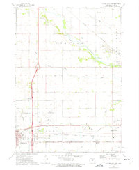
1972 · Clear Lake East
USGS Topo · 1:24,000

1972 · Bristol
USGS Topo · 1:24,000
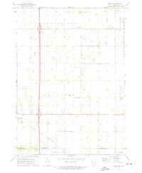
1972 · Fertile SE
USGS Topo · 1:24,000

1972 · Pilot Knob
USGS Topo · 1:24,000