Old Maps of Van Wert, Iowa for Genealogy
Trace your family roots with 16 historic maps of Van Wert. These high-res maps reveal old neighborhoods, homesites, landmarks, and streets — helping you uncover where your ancestors lived and how the area evolved over time.
- Explore historic neighborhoods: Identify where your relatives may have lived in the 1800s or 1900s.
- Compare maps over time: Trace the changes in streets, buildings, and landmarks for multi-generational research.
- Perfect for genealogy & ancestry research: Used by family historians and researchers to map out lineage and migration.
These maps are an incredible resource for exploring your personal connection to Van Wert's past.
Van Wert, IA maps
(16)- 1954 Map of Centerville, 1967 Print
 1954 Centerville1967 Print · USGSThe Iowa-Missouri borderlands at mid-century reveal a landscape shaped by river valleys and the height of the regional rail network. Genealogists and historians can trace the paths of the Wabash railroad and locate old townsites like Mystic, Moulton, and Greentop.3 unique versions available
 - 1957 Map of Centerville
 1957 Centerville1957 Print · USGSThe Iowa-Missouri borderlands in the mid-fifties reveal a landscape of river-valley agriculture and vital rail corridors. Genealogists and historians can trace family-named landmarks and small-town growth in Centerville, Kirksville, and along the Wabash railroad line.
 - 1958 Map of Centerville
 1958 Centerville1958 Print · USGSThe Iowa-Missouri borderlands come into focus during the mid-fifties, showing a landscape defined by river valleys and intersecting rail lines. Genealogists and local historians can trace family roots through dozens of rural hubs like Bloomfield, Unionville, and Corydon.
 - 1981 Map of Van Wert
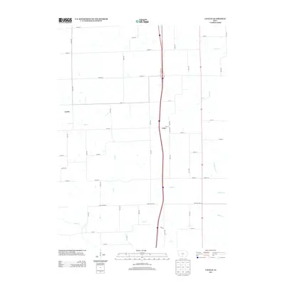
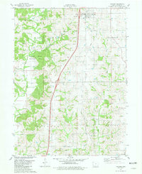 1981 Van Wert1981 Print · USGSDecatur County in the early eighties shows a landscape of quiet township centers and winding river valleys near the Missouri border. Genealogists and local historians can trace family burial sites like McKee Cem and Shy Cem or follow the path of an Old RR Grade.
 - 1981 Map of Lacelle
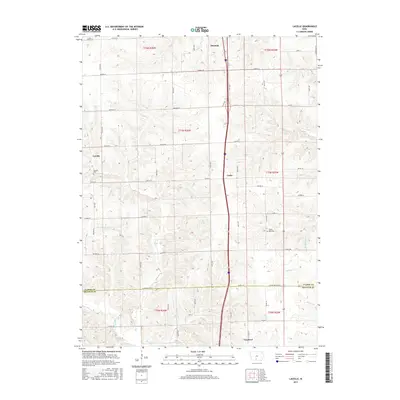
 1981 Lacelle1981 Print · USGSSouthern Iowa farmland in the early eighties centers on the rural communities of Lacelle and Leslie. Researchers can trace old family lines at Lacelle Cemetery or follow the intricate paths of Spring Creek and South White Breast Creek through the countryside.
 - 1981 Map of Leon, 1982 Print
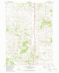
 1981 Leon1982 Print · USGSSouthern Iowa and northern Missouri are captured here in the early eighties as the rural landscape balances traditional agriculture with large-scale water management. Researchers can trace the path of the Burlington Northern through Leon or locate early settlements like Decatur City and New Buda.
 - 2010 Map of Van Wert, 2010 Print
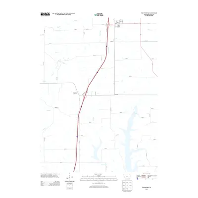
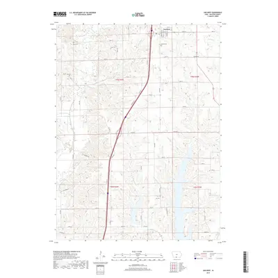
 2010 Van Wert2010 Print · USGSCovers Van Wert, including Leon, Kingston, and other nearby areas
 - 2010 Map of Lacelle, 2010 Print
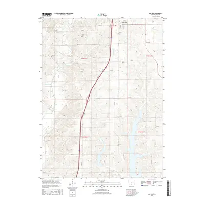
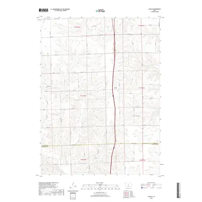
 2010 Lacelle2010 Print · USGSCovers Van Wert, including Osceola, Lacelle, and other nearby areas
 - 2013 Map of Lacelle, 2013 Print
 2013 Lacelle2013 Print · USGSCovers Van Wert, including Osceola, Lacelle, and other nearby areas
 - 2013 Map of Van Wert, 2013 Print
 2013 Van Wert2013 Print · USGSCovers Van Wert, including Leon, Kingston, and other nearby areas
 - 2015 Map of Lacelle, 2015 Print
 2015 Lacelle2015 Print · USGSCovers Van Wert, including Osceola, Lacelle, and other nearby areas
 - 2015 Map of Van Wert, 2015 Print
 2015 Van Wert2015 Print · USGSCovers Van Wert, including Leon, Kingston, and other nearby areas
 - 2018 Map of Lacelle, 2018 Print
 2018 Lacelle2018 Print · USGSCovers Van Wert, including Osceola, Lacelle, and other nearby areas
 - 2018 Map of Van Wert, 2018 Print
 2018 Van Wert2018 Print · USGSCovers Van Wert, including Leon, Kingston, and other nearby areas
 - 2022 Map of Lacelle, 2022 Print
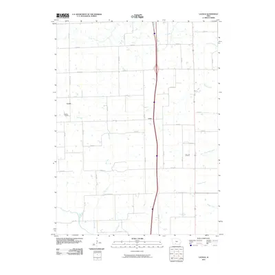
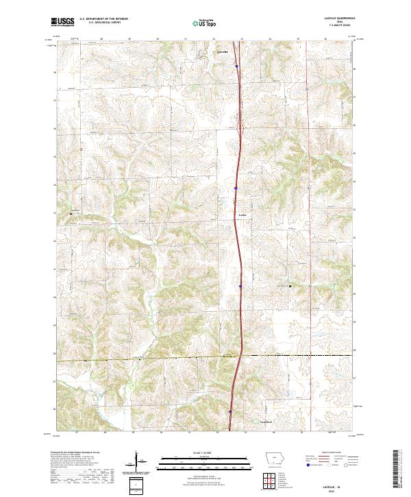 2022 Lacelle2022 Print · USGSSouth of Osceola in the early 2020s, this portion of Clarke and Decatur counties shows a landscape defined by traditional agriculture and winding creek systems. Local historians can trace family ties at Lacelle Cem or follow the waters of Wolf Cr and Chariton Cr through the countryside.
 - 2022 Map of Van Wert, 2022 Print
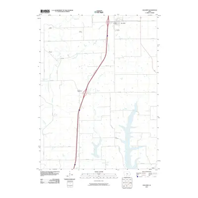
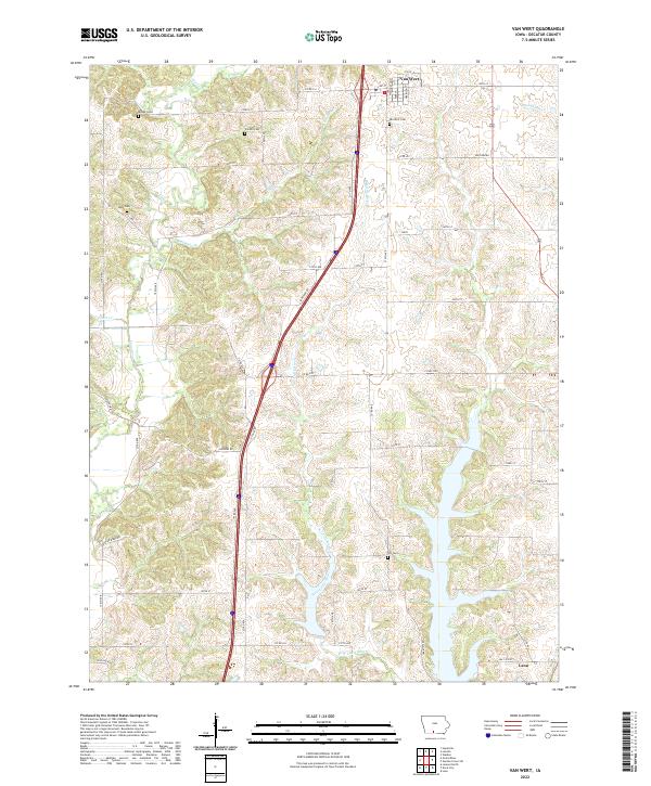 2022 Van Wert2022 Print · USGSThe rural landscapes of Decatur County are captured here in the early twenty-first century, centered on the community of Van Wert. Researchers can trace the drainage of the West Little River and find local landmarks such as Popcorn Rd and Shy Cem.
End of results
Showing maps 1-16 of 16
Top cities near Van Wert
- Osceola historical maps
- Leon historical maps
- Murray historical maps
- Grand River historical maps
- Decatur historical maps
- Garden Grove historical maps
See more
Frequently asked questions
- What are the different types of historical maps available for Van Wert?
- What is the oldest map of Van Wert?
- Where can I purchase historical maps of Van Wert for my home or office?
- Where can I download high-res historical maps of Van Wert?
- Are there historical topographic maps available for Van Wert?
- Is there historical aerial imagery available for Van Wert?
- Where are historical maps of Van Wert sourced from?