Old Maps of Eddyville, Iowa for Genealogy
Trace your family roots with 17 historic maps of Eddyville. These high-res maps reveal old neighborhoods, homesites, landmarks, and streets — helping you uncover where your ancestors lived and how the area evolved over time.
- Explore historic neighborhoods: Identify where your relatives may have lived in the 1800s or 1900s.
- Compare maps over time: Trace the changes in streets, buildings, and landmarks for multi-generational research.
- Perfect for genealogy & ancestry research: Used by family historians and researchers to map out lineage and migration.
These maps are an incredible resource for exploring your personal connection to Eddyville's past.
Eddyville, IA maps
(17)- 1954 Map of Des Moines, 1973 Print
 1954 Des Moines1973 Print · USGSCentral Iowa's evolving landscape is captured here in the early seventies, just as major reservoirs were reshaping the river valleys. Genealogists and historians can trace the rail corridors of the Burlington Northern or locate family roots near Pella, Indianola, and Knoxville.2 unique versions available
 - 1956 Map of Des Moines
 1956 Des Moines1956 Print · USGSCentral Iowa in the mid-fifties shows a landscape defined by bustling rail hubs and deep-rooted agricultural research. Genealogists and researchers can trace the growth of Des Moines and Ames, locate the Sac and Fox Indian Reservation, or study the paths of the Skunk River and South Skunk River.
 - 1957 Map of Des Moines
 1957 Des Moines1957 Print · USGSCentral Iowa's post-war landscape is defined here by the converging rail lines and river valleys that shaped its earliest settlements. Genealogists and historians can trace the paths of the Rock Island Railroad and locate community landmarks in Des Moines, Ames, and Newton.
 - 1968 Map of Kirkville, 1971 Print
 1968 Kirkville1971 Print · USGSSoutheast Iowa's coal and gravel country comes into focus in the late sixties as industrial mining reshapes the Mahaska and Wapello County line. Researchers can trace the rail sidings of the Chicago and North Western or locate Westview Cemetery and the Eddyville School.
 - 1968 Map of Eddyville, 1971 Print
 1968 Eddyville1971 Print · USGSThe Des Moines River valley in the late sixties reveals a landscape shaped by coal mining and heavy rail. Genealogists and researchers can trace local history through the streets of Eddyville, several rural cemeteries like Henness Cem, and the path of the Pacific railroad.
 - 1969 Map of Des Moines
 1969 Des Moines1969 Print · USGSCentral Iowa's fertile plains and growing capital are captured here during the late sixties, a time of major highway expansion and reservoir construction. Genealogists and researchers can trace rural township boundaries, local cemeteries, and rail lines serving towns like Pella, Grinnell, and Oskaloosa.
 - 1982 Map of Oskaloosa
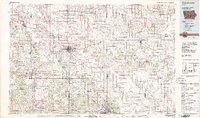 1982 Oskaloosa1982 Print · USGSSoutheast Iowa's river valleys and rail hubs are meticulously detailed in the early eighties, showing a landscape of productive farmland and growing municipal centers. Researchers can trace the legacy of small-town life and local industry through features like Union Mills, What Cheer, and the extensive Burlington Northern rail network.
 - 2010 Map of Kirkville, 2010 Print
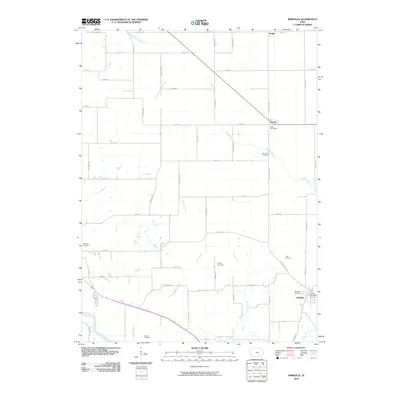 2010 Kirkville2010 Print · USGSThe rural uplands north of the Des Moines River are captured here at the start of the twenty-first century. Genealogists can locate several family burial grounds, including the Funk Family Cemetery, Stump Cemetery, and Wilcox Cemetery.
 - 2010 Map of Eddyville, 2010 Print
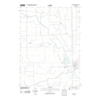 2010 Eddyville2010 Print · USGSThe Des Moines River valley comes to life in this early 2000s survey, showing the interconnected river towns and rural townships. Genealogists and local historians can trace family locations through numerous sites like Muchakinock Cemetery, Lakonta, and Bridgeport.
 - 2013 Map of Kirkville, 2013 Print
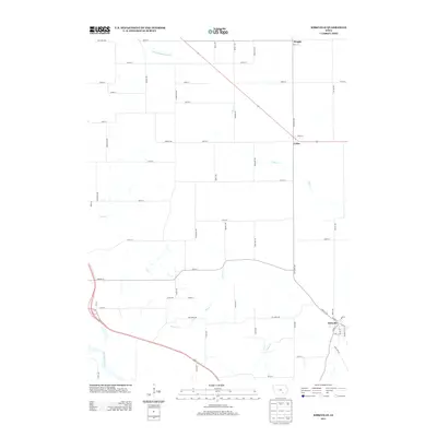 2013 Kirkville2013 Print · USGSSoutheast Iowa's rural landscape is captured here in the early twenty-first century, centered on the historic town of Kirkville. Researchers can trace local landmarks and property access along Cedar Cr or the banks of the Des Moines River.
 - 2013 Map of Eddyville, 2013 Print
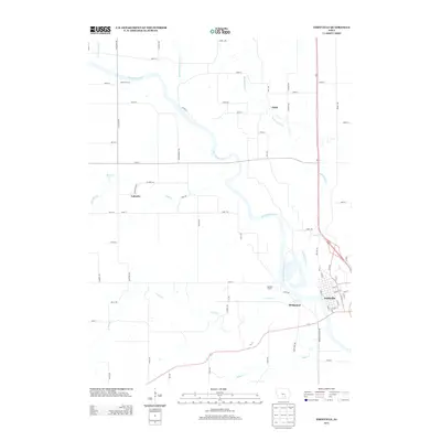 2013 Eddyville2013 Print · USGSThe Des Moines River valley in the early twenty-first century reveals a landscape of enduring river towns and rural crossroads. Local researchers can trace the streets of Eddyville, find the small hamlets of Givin and Lakonta, or locate river landmarks like Hardfish Access.
 - 2015 Map of Eddyville, 2015 Print
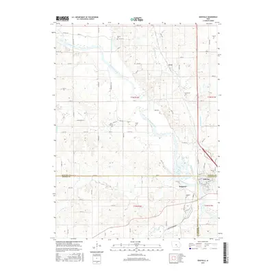 2015 Eddyville2015 Print · USGSEddyville and the surrounding river bluffs are documented here during the mid-2010s at the intersection of three Iowa counties. Local researchers can trace family sites across numerous burial grounds like Muchakinock Cem, Bridgeport Cem, and Carpenter Cem.
 - 2015 Map of Kirkville, 2015 Print
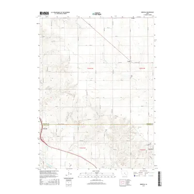 2015 Kirkville2015 Print · USGSSoutheastern Iowa's riverine landscape is captured here in the early twenty-first century as the Des Moines River flows past Eddyville. Researchers can trace local lineage through numerous rural burial grounds including Westview Cemetery and the Funk Family Cemetery.
 - 2018 Map of Kirkville, 2018 Print
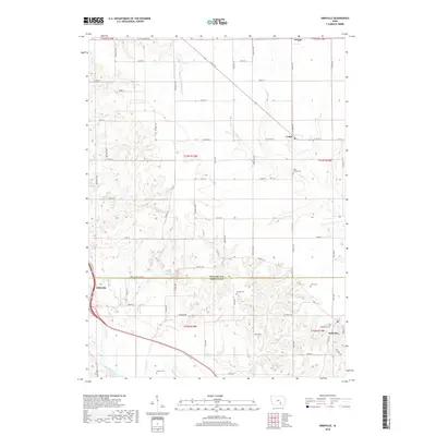 2018 Kirkville2018 Print · USGSSoutheast Iowa's river bluffs and borderlands come to life in this detailed map of the Mahaska and Wapello county line. Local researchers can trace family roots through numerous burial grounds like Westview Cem and Wilcox Cem or follow the banks of the Des Moines River.
 - 2018 Map of Eddyville, 2018 Print
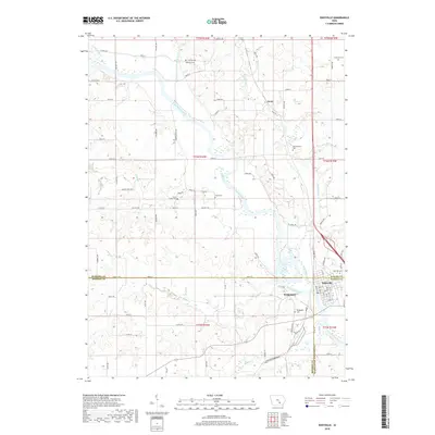 2018 Eddyville2018 Print · USGSThe tri-county border of Mahaska, Monroe, and Wapello counties comes together at the bend of the Des Moines River. Researchers can trace old family lineages through numerous burial sites including Eddyville Cem, Bridgeport Cem, and Bluff Creek Cem.
 - 2022 Map of Kirkville, 2022 Print
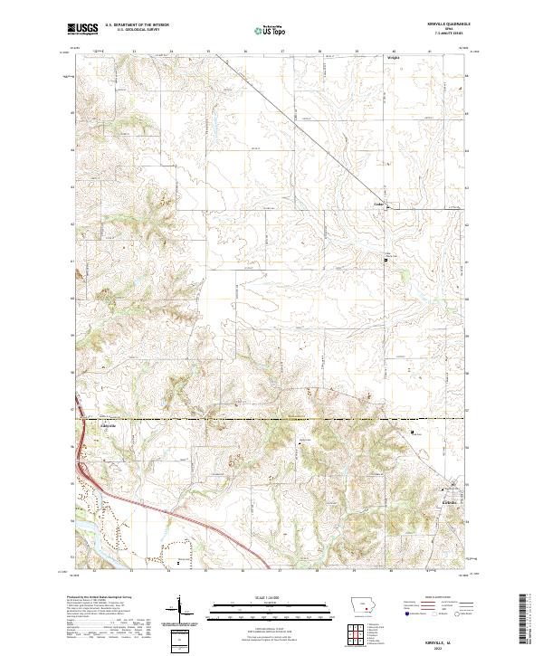 2022 Kirkville2022 Print · USGSThe borderlands of Mahaska and Wapello counties come into focus in this contemporary survey of the Des Moines River valley. Genealogists can trace family footprints across several rural burial grounds, including Westview Cem, Stump Cem, and the Funk Family Cem.
 - 2022 Map of Eddyville, 2022 Print
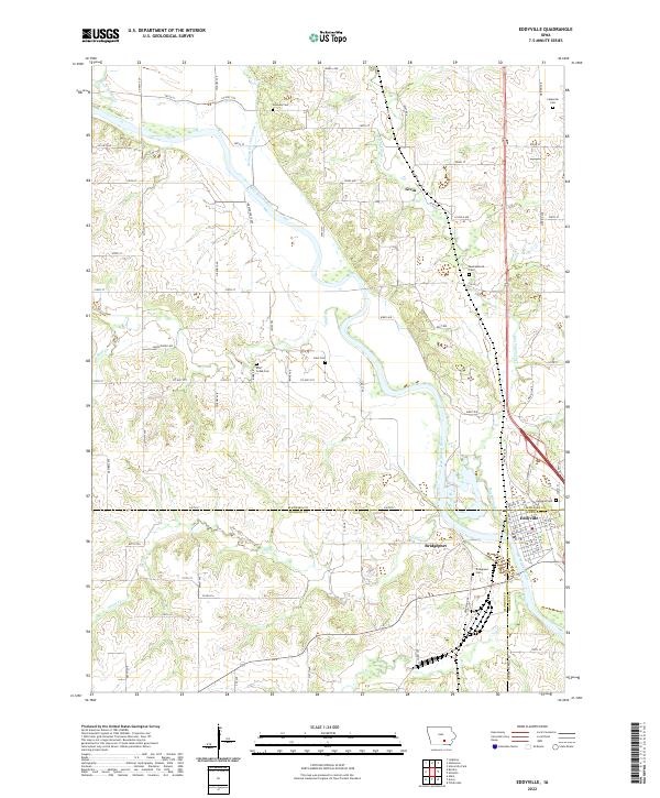 2022 Eddyville2022 Print · USGSThe confluence of Mahaska, Monroe, and Wapello counties comes to life in this recent study of the Des Moines River valley. Genealogists can locate several family burial sites like Henness Cem and Crain Cem near the historic river town of Eddyville.
End of results
Showing maps 1-17 of 17
Top cities near Eddyville
- Ottumwa historical maps
- Oskaloosa historical maps
- Albia historical maps
- Fremont historical maps
- University Park historical maps
- Beacon historical maps
See more
Frequently asked questions
- What are the different types of historical maps available for Eddyville?
- What is the oldest map of Eddyville?
- Where can I purchase historical maps of Eddyville for my home or office?
- Where can I download high-res historical maps of Eddyville?
- Are there historical topographic maps available for Eddyville?
- Is there historical aerial imagery available for Eddyville?
- Where are historical maps of Eddyville sourced from?