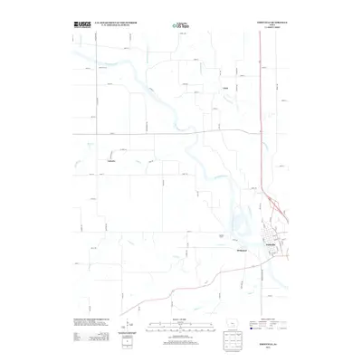
2013 Map of Eddyville
USGS Topo · Published 2013About this map
The Des Moines River carves a winding path through this region of southeast Iowa, anchoring the settlement patterns of Eddyville and Bridgeport. The river's influence is clear, with multiple recreational points of entry such as Eveland Access and Hardfish Access providing connection to the water. Away from the main river valley, the landscape is defined by a dense network of tributaries, including Muchakinock Cr, Bluff Cr, and Grays Cr, which segment the agricultural uplands.
Find a feature on this map
71 named features on this map. Tap any name to fly to it.
Don’t see what you’re looking for? This feature index may not catch every label — zoom into the map to look around manually.
Map Details
Editions of this 2013 Eddyville Map
This is the sole edition of this map. No revisions or reprints were ever made.
Other maps of this area

1910 · Pella
USGS Topo · 1:62,500

1912 · Pella
USGS Topo · 1:62,500

1929 · Albia
USGS Topo · 1:62,500

1954 · Des Moines
USGS Topo · 1:250,000

1956 · Des Moines
USGS Topo · 1:250,000

1957 · Des Moines
USGS Topo · 1:250,000

1968 · University Park
USGS Topo · 1:24,000

1968 · Oskaloosa
USGS Topo · 1:24,000

1968 · Kirkville
USGS Topo · 1:24,000

1968 · Eddyville
USGS Topo · 1:24,000