Old Maps of Elgin, Iowa for Genealogy
Trace your family roots with 18 historic maps of Elgin. These high-res maps reveal old neighborhoods, homesites, landmarks, and streets — helping you uncover where your ancestors lived and how the area evolved over time.
- Explore historic neighborhoods: Identify where your relatives may have lived in the 1800s or 1900s.
- Compare maps over time: Trace the changes in streets, buildings, and landmarks for multi-generational research.
- Perfect for genealogy & ancestry research: Used by family historians and researchers to map out lineage and migration.
These maps are an incredible resource for exploring your personal connection to Elgin's past.
Elgin, IA maps
(18)- 1901 Map of Oelwein
 1901 Oelwein1901 Print · USGSNortheast Iowa at the turn of the century was a bustling network of rail-side towns and river valleys. Genealogists can trace family locations across dozens of early settlements like Strawberry Point, Hawkeye, and the railroad junction at Oelwein.4 unique versions available
 - 1959 Map of Dubuque, 1982 Print
 1959 Dubuque1982 Print · USGSThe Tri-State region comes alive in the mid-twentieth century as a hub of river commerce and rail transit. Genealogists and historians can trace the paths of the Illinois Central Gulf through Dubuque or locate the Savanna Ordnance Depot and Lock and Dam No 11.
 - 1961 Map of Dubuque
 1961 Dubuque1961 Print · USGSThe Tri-State region's river-and-rail landscape is captured here during the early sixties, showing the convergence of Iowa, Illinois, and Wisconsin. Trace mid-century rail lines like the Chicago Great Western Ry and explore sites like the Savanna Ordnance Depot and Backbone State Park.
 - 1962 Map of Dubuque
 1962 Dubuque1962 Print · USGSThe Tri-State region's river-and-rail economy is captured here in the early sixties, centered on the Mississippi River bluffs. Genealogists and historians can locate Numerous lead and zinc mines, the New Melleray Abbey Monastery, and rural hubs like Saint Olaf.2 unique versions available
 - 1965 Map of Elgin, 1966 Print
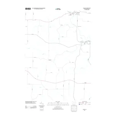
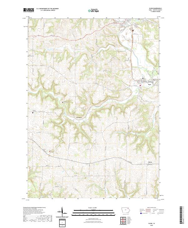
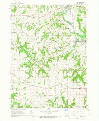 1965 Elgin1966 Print · USGSFayette County's river-valley communities come into focus during the mid-sixties as the railroad and river define the local economy. Researchers can locate family landmarks like St Peters Cem, trace the Chicago Rock Island and Pacific rail line, and find the rural outpost of Illyria.
 - 1965 Map of Gunder, 1966 Print
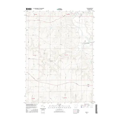
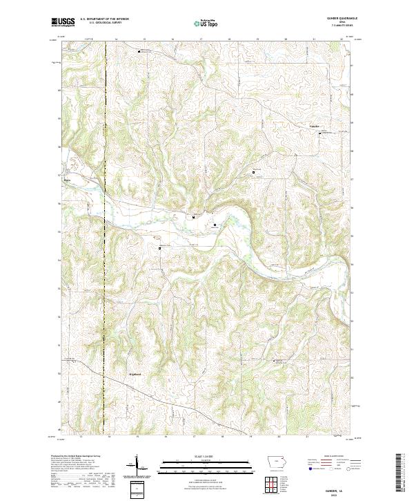
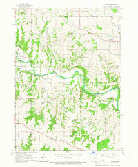 1965 Gunder1966 Print · USGSClayton and Fayette counties in the mid-sixties show a landscape of deep river valleys and high plateau farms. Researchers can trace rural life through landmarks like the East Clermont Ch, Houg Cem, and the riverside community of Elgin.
 - 1976 Map of Dubuque
 1976 Dubuque1976 Print · USGSThe tri-state borderlands of Iowa, Wisconsin, and Illinois come alive during the mid-seventies, showing a region built on river commerce and mining. Genealogists and historians can trace the paths of the Illinois Central railroad or locate heritage sites like the New Melleray Abbey Monastery and Backbone State Park.
 - 1984 Map of Oelwein, 1985 Print
 1984 Oelwein1985 Print · USGSNortheast Iowa and the Mississippi riverfront appear in detail during the 1980s, showing a land defined by deep river valleys and high ridges. Genealogists and historians can trace the Chicago and North Western rail line and locate rural sites like St Sebald Ch and Quaker Mill Pond.2 unique versions available
 - 2010 Map of Gunder, 2010 Print
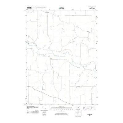 2010 Gunder2010 Print · USGSCovers Elgin, including Gunder, Highland, and other nearby areas
 - 2010 Map of Elgin, 2010 Print
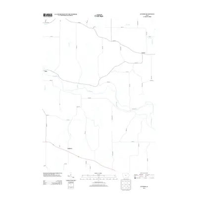
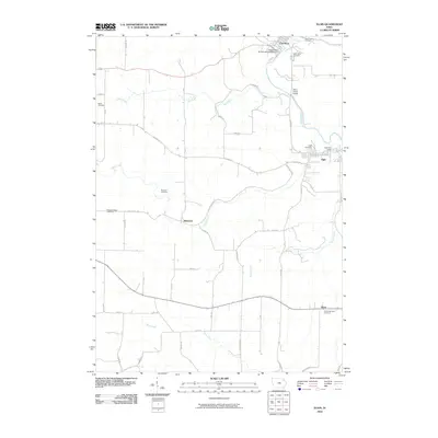 2010 Elgin2010 Print · USGSCovers Elgin, including Clermont, Brainard, and other nearby areas
 - 2013 Map of Gunder, 2013 Print
 2013 Gunder2013 Print · USGSCovers Elgin, including Gunder, Highland, and other nearby areas
 - 2013 Map of Elgin, 2013 Print
 2013 Elgin2013 Print · USGSCovers Elgin, including Clermont, Brainard, and other nearby areas
 - 2015 Map of Elgin, 2015 Print
 2015 Elgin2015 Print · USGSCovers Elgin, including Clermont, Brainard, and other nearby areas
 - 2015 Map of Gunder, 2015 Print
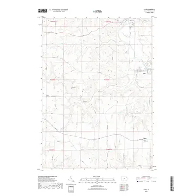
 2015 Gunder2015 Print · USGSCovers Elgin, including Gunder, Highland, and other nearby areas
 - 2018 Map of Gunder, 2018 Print
 2018 Gunder2018 Print · USGSCovers Elgin, including Gunder, Highland, and other nearby areas
 - 2018 Map of Elgin, 2018 Print
 2018 Elgin2018 Print · USGSCovers Elgin, including Clermont, Brainard, and other nearby areas
 - 2022 Map of Gunder, 2022 Print
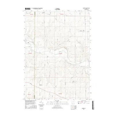
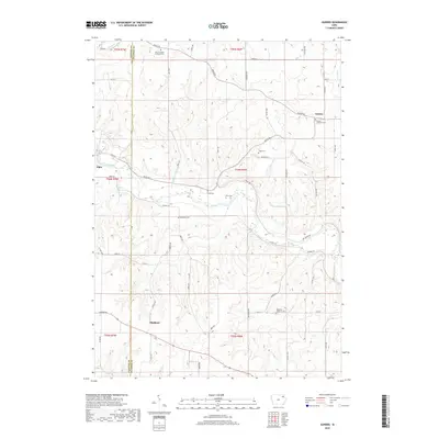
 2022 Gunder2022 Print · USGSClayton County farmland and river breaks are captured here in the early twenty-first century. Genealogists can trace rural church history across numerous sites including East Clermont Lutheran Cemetery, Marion Lutheran Cem, and the small Mork Cem near the Turkey River.
 - 2022 Map of Elgin, 2022 Print
 2022 Elgin2022 Print · USGSFayette County settlement and river geography are documented here in the early twenty-first century. Genealogists and local historians can trace family burial sites at Gods Acres Cem and Illyria Cem, or locate the historic Mill Race along the Turkey River.
End of results
Showing maps 1-18 of 18
Top cities near Elgin
- Postville historical maps
- West Union historical maps
- Fayette historical maps
- Elkader historical maps
- Calmar historical maps
- Ossian historical maps
See more
Frequently asked questions
- What are the different types of historical maps available for Elgin?
- What is the oldest map of Elgin?
- Where can I purchase historical maps of Elgin for my home or office?
- Where can I download high-res historical maps of Elgin?
- Are there historical topographic maps available for Elgin?
- Is there historical aerial imagery available for Elgin?
- Where are historical maps of Elgin sourced from?