Old Maps of Ivester, Iowa for Academic Research
Study the evolution of Ivester with 9 high-resolution historic maps. Whether you're teaching, researching, or modeling changes in land use, these maps provide essential visual documentation of urban, environmental, and geographic change.
- Analyze long-term change: Track patterns in development, transportation, and natural features.
- Ideal for environmental or urban studies: Support academic projects with primary historical map data.
- Use in the classroom or lab: Educators and researchers rely on these maps to bring historical context to life.
These maps are a powerful tool for teaching, research, and visualizing how Ivester has changed over the decades.
Ivester, IA maps
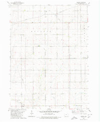
(9)- 1954 Map of Waterloo, 1968 Print
 1954 Waterloo1968 Print · USGSCentral Iowa at the height of its mid-century agricultural and rail boom features the growing hubs of Waterloo and Cedar Falls. Genealogists and researchers can trace the rail corridors of the Chicago Great Western and find local landmarks like Iowa State College and Brushy Ridge.4 unique versions available
 - 1955 Map of Waterloo
 1955 Waterloo1955 Print · USGSCentral Iowa in the mid-fifties presents a dense landscape of rail-connected farming towns and growing river cities. Researchers can trace ancestral roots and old transport routes through Waterloo, Marshalltown, and Ames, while locating rural Cemeteries and local Quarries.2 unique versions available
 - 1980 Map of Ivester
 1980 Ivester1980 Print · USGSGrundy County farmland in the 1970s is meticulously captured here, showing the rural settlement patterns and local townships. Researchers can locate family burial sites at Sheller Cem and Alice Union Cem or trace the path of the Old Railroad Grade.
 - 1984 Map of Marshalltown, 1985 Print
 1984 Marshalltown1985 Print · USGSMid-Iowa's agricultural landscape and river corridors come alive in the mid-eighties as the Cedar River connects industrial hubs and small farm towns. Trace the tracks of the CHICAGO AND NORTHWESTERN or locate local landmarks like Union Grove State Park and Cedar Falls Junction.2 unique versions available
 - 2010 Map of Ivester, 2010 Print
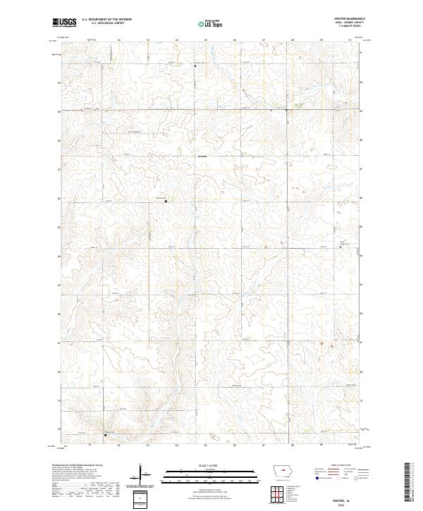
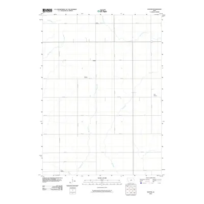 2010 Ivester2010 Print · USGSCovers Ivester, including Grundy County, United States, and other nearby areas
 - 2013 Map of Ivester, 2013 Print
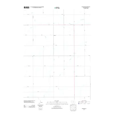 2013 Ivester2013 Print · USGSCovers Ivester, including Grundy County, United States, and other nearby areas
 - 2015 Map of Ivester, 2015 Print
 2015 Ivester2015 Print · USGSCovers Ivester, including Grundy County, United States, and other nearby areas
 - 2018 Map of Ivester, 2018 Print
 2018 Ivester2018 Print · USGSCovers Ivester, including Grundy County, United States, and other nearby areas
 - 2022 Map of Ivester, 2022 Print
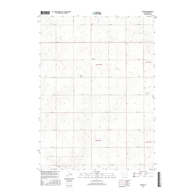
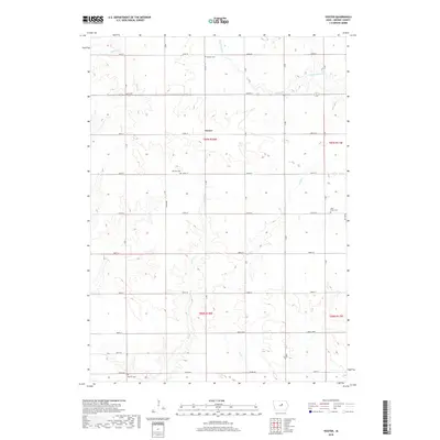
 2022 Ivester2022 Print · USGSGrundy County's agricultural heartland is documented here in the early 2020s, showing a landscape defined by prairie streams and section-line grids. Researchers can trace family history at Sheller Cemetery and Alice Union Cemetery or locate the settlements of Ivester and Whitten.
End of results
Showing maps 1-9 of 9
Top cities near Ivester
- Eldora historical maps
- Grundy Center historical maps
- Parkersburg historical maps
- Ackley historical maps
- Conrad historical maps
- Gladbrook historical maps
See more
Frequently asked questions
- What are the different types of historical maps available for Ivester?
- What is the oldest map of Ivester?
- Where can I purchase historical maps of Ivester for my home or office?
- Where can I download high-res historical maps of Ivester?
- Are there historical topographic maps available for Ivester?
- Is there historical aerial imagery available for Ivester?
- Where are historical maps of Ivester sourced from?