Old Maps of Humboldt County, Iowa for Genealogy
Trace your family roots with 98 historic maps of Humboldt County. These high-res maps reveal old neighborhoods, homesites, landmarks, and streets — helping you uncover where your ancestors lived and how the area evolved over time.
- Explore historic neighborhoods: Identify where your relatives may have lived in the 1800s or 1900s.
- Compare maps over time: Trace the changes in streets, buildings, and landmarks for multi-generational research.
- Perfect for genealogy & ancestry research: Used by family historians and researchers to map out lineage and migration.
These maps are an incredible resource for exploring your personal connection to Humboldt County's past.
Humboldt County, IA maps
(98)- 1923 Map of Fort Dodge
 1923 Fort Dodge1923 Print · USGSThe river valleys and rail corridors of North Central Iowa are detailed here in the years following the Great War. Genealogists and local historians can locate dozens of rural schoolhouses and the early footprints of Humboldt, Badger, and Fort Dodge.3 unique versions available
 - 1954 Map of Waterloo, 1968 Print
 1954 Waterloo1968 Print · USGSCentral Iowa at the height of its mid-century agricultural and rail boom features the growing hubs of Waterloo and Cedar Falls. Genealogists and researchers can trace the rail corridors of the Chicago Great Western and find local landmarks like Iowa State College and Brushy Ridge.4 unique versions available
 - 1954 Map of Fort Dodge, 1968 Print
 1954 Fort Dodge1968 Print · USGSNorthwest Iowa is shown here during a period of steady industrial and rail activity in the mid-fifties. Researchers can trace the extensive rail lines connecting Fort Dodge to mining and manufacturing sites like Gypsum and Industry Station.3 unique versions available
 - 1955 Map of Waterloo
 1955 Waterloo1955 Print · USGSCentral Iowa in the mid-fifties presents a dense landscape of rail-connected farming towns and growing river cities. Researchers can trace ancestral roots and old transport routes through Waterloo, Marshalltown, and Ames, while locating rural Cemeteries and local Quarries.2 unique versions available
 - 1957 Map of Fort Dodge
 1957 Fort Dodge1957 Print · USGSWest-central Iowa thrived as a network of rail-linked agricultural hubs and river towns during the mid-fifties. Researchers can trace the development of the Des Moines River valley and locate historic landmarks in Fort Dodge, Storm Lake, and Lehigh.
 - 1958 Map of Fort Dodge
 1958 Fort Dodge1958 Print · USGSWestern Iowa in the mid-1950s reveals a productive landscape of river-valley industry and prairie agricultural hubs. Researchers can trace the development of the Des Moines River corridor through Fort Dodge and locate vanished local landmarks near Coalville or Storm Lake.
 - 1972 Map of Corwith, 1975 Print
 1972 Corwith1975 Print · USGSCorwith and the surrounding Iowa prairie townships are captured here in the early 1970s, showcasing the intersection of four counties. Researchers can trace family roots at St Marys Cem, follow the Chicago and North Western rail line, or locate Township Cem.
 - 1972 Map of St. Joseph, 1975 Print
 1972 St. Joseph1975 Print · USGSNorth-central Iowa farmland meets the winding East Fork Des Moines River in the early seventies. Researchers can trace rural life and transport through the Chicago and North Western railroad and landmarks like St Joseph and Union Cem.
 - 1972 Map of Renwick, 1975 Print
 1972 Renwick1975 Print · USGSRenwick and the Boone River valley are captured here in the early seventies, showcasing a landscape of rail-connected commerce and prairie agriculture. Genealogists and local historians can locate Elmwood Cem, the Boone Valley Sch, and the small settlement of Paskin.
 - 1972 Map of Lu Verne, 1975 Print
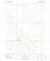 1972 Lu Verne1975 Print · USGSLu Verne and the surrounding prairie townships are captured here in the early seventies as the rail lines still dictated the local geography. Genealogists can trace family farmsteads near Hanna, Hefty, and the local Cem, or follow the Chicago and North Western corridor.
 - 1972 Map of Livermore, 1975 Print
 1972 Livermore1975 Print · USGSHumboldt County’s rail-and-river landscape is captured here in the early 1970s, focused on the railroad junction at Livermore. Local researchers can trace family landmarks like Mt Calvary Cem and Lotts Park or follow the path of the Chicago and North Western through Arnold.
 - 1972 Map of Hardy, 1975 Print
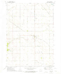 1972 Hardy1975 Print · USGSHumboldt County farmland and the town of Hardy are documented in the early seventies during the height of the rail era. Genealogists can locate family landmarks such as Swiss Cem, Vernon Sch, and the Brock Ranch Landing Strip.
 - 1978 Map of Eagle Grove, 1979 Print
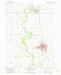 1978 Eagle Grove1979 Print · USGSWright County as the rail-and-river economy matured in the late seventies. Genealogists and researchers can trace the growth of Eagle Grove through its schools and cemeteries like Rose Hill Cem or locate the junction of the Rock Island and Pacific and Chicago and North Western lines.
 - 1979 Map of Thor
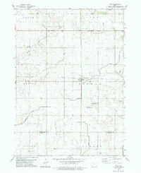 1979 Thor1979 Print · USGSHumboldt and Webster counties are captured in the late 1970s, showcasing the agricultural grid surrounding the rail town of Thor. Genealogists can locate several burial sites including East Ullensvang Cem, Norway Lake Cem, and Blossom Hill Cem.2 unique versions available
 - 1979 Map of Humboldt
 1979 Humboldt1979 Print · USGSHumboldt and Dakota City sit at the junction of the Des Moines River forks during the late seventies, a period of established civic and rail infrastructure. Researchers can trace family roots through several rural burial grounds like Union Cem and Indian Mound Cem or locate vanished local schools such as Meuse Sch.
 - 1979 Map of Unique
 1979 Unique1979 Print · USGSHumboldt and Webster counties come into focus during the late 1970s, showing a rural Iowa landscape shaped by the Des Moines River. Genealogists and local historians can trace the settlement at Unique, locate Township Cem, and explore the grounds of Joe Sheldon County Park.
 - 1979 Map of Gilmore City
 1979 Gilmore City1979 Print · USGSGilmore City sits at the intersection of Pocahontas and Humboldt counties during the late seventies, a hub for rail and local quarrying. Trace the diagonal path of the Chicago and North Western railroad to Pioneer or find family history at St Johns Cem and Marble Valley Cem.2 unique versions available
 - 1980 Map of West Bend, 1981 Print
 1980 West Bend1981 Print · USGSWest Bend and its surrounding farmsteads are shown during the early 1980s at the junction of four Iowa counties. Researchers can trace the Chicago Rock Island and Pacific rail line between West Bend and Ottosen or locate family sites near McKnights Point and Union Cem.
 - 1980 Map of Bode, 1981 Print
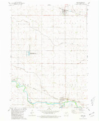 1980 Bode1981 Print · USGSHumboldt County farmland and river bends are captured here in the late twentieth century as the rail and agricultural networks remained central to local life. Genealogists and historians can trace family roots at St Olaf Cem or explore the river-side industries near Rutland including a local Quarry.
 - 1980 Map of Bradgate, 1981 Print
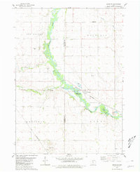 1980 Bradgate1981 Print · USGSHumboldt and Pocahontas Counties are shown in the late twentieth century as the rail-and-river landscape centered on Bradgate remained active. Researchers can trace the path of the Chicago and North Western and locate early burial sites like McKnight Cem and Old Rolfe Cem.
 - 1980 Map of West Bend NE, 1981 Print
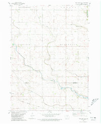 1980 West Bend NE1981 Print · USGSNorth-central Iowa farmland is captured here in the early eighties, showing the transition between Kossuth and Humboldt counties. Genealogists and rail historians can trace the Chicago Rock Island and Pacific line through Ottosen and find local landmarks like the Townhall in Riverdale.
 - 1984 Map of Humboldt, 1985 Print
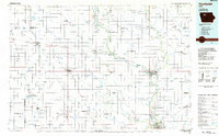 1984 Humboldt1985 Print · USGSNorth Central Iowa in the mid-eighties shows a deeply integrated landscape of agricultural drainage and rail-connected settlements. Trace the rural layout of the era via the Chicago and North Western line, Rush Lake, and Lizard Lake County Park.2 unique versions available
 - 1984 Map of Iowa Falls, 1985 Print
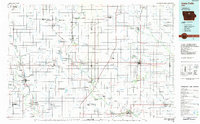 1984 Iowa Falls1985 Print · USGSNorth-central Iowa is documented here during the mid-eighties, showing a landscape of traditional rail towns and extensive wildlife management areas. Researchers can trace family history through settlements like Belmond, Dows, and Ackley, or locate landmarks like Beeds Lake State Park.2 unique versions available
 - 2010 Map of Hardy, 2010 Print
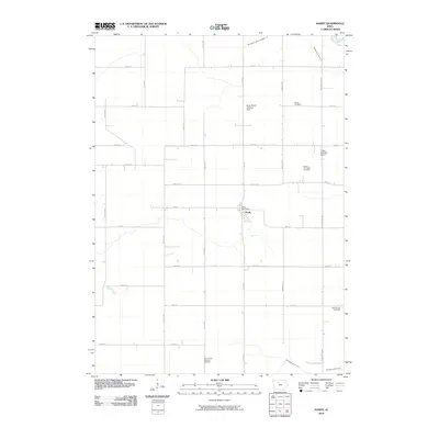 2010 Hardy2010 Print · USGSHumboldt County farmland is captured here in the early twenty-first century, showing the intersection of rural life and agrarian infrastructure. Genealogists can trace family connections at the Swiss Cemetery or Lake Church Cemetery and locate the historic Hardy Post Office.
 - 2010 Map of West Bend, 2010 Print
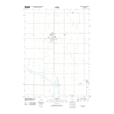 2010 West Bend2010 Print · USGSWest Bend and the surrounding prairie lands are captured here in the early twenty-first century as the agricultural heart of Palo Alto and Humboldt counties. Genealogists can locate family sites near Garfield Township Cemetery, Ottosen, or the world-renowned Grotto of the Redemption.
Showing maps 1-25 of 98
Top cities of Humboldt County
- Humboldt historical maps
- Dakota City historical maps
- Livermore historical maps
- Bode historical maps
- Renwick historical maps
- Thor historical maps
See more
Frequently asked questions
- What are the different types of historical maps available for Humboldt County?
- What is the oldest map of Humboldt County?
- Where can I purchase historical maps of Humboldt County for my home or office?
- Where can I download high-res historical maps of Humboldt County?
- Are there historical topographic maps available for Humboldt County?
- Is there historical aerial imagery available for Humboldt County?
- Where are historical maps of Humboldt County sourced from?