2000s (21st Century) Maps of Humboldt County, Iowa
Explore 75 historic maps of Humboldt County from the 2000s (21st Century). These maps offer a rare glimpse into what life looked like during the 2000s — showing old roads, neighborhoods, homes, and landmarks that have changed or disappeared over time.
Whether you're researching your family's past, planning a metal detecting trip, or studying how Humboldt County's landscape evolved across the 2000s, these high-resolution maps are a powerful tool for exploring the history of this region.
- Focus on a specific era: All maps on this page are from the 2000s, giving you a focused view of this time period.
- See what’s changed: Compare century-old streets, trails, and buildings to today's modern landscape using overlays and satellite layers.
- Research with precision: Use these maps for genealogy, historical research, land use analysis, or educational projects.
- View, download, or print: Maps are fully viewable online in high resolution, and can be downloaded or printed for your own records.
Start exploring Humboldt County's history through authentic maps from the 2000s. This is your window into the past.
Humboldt County, IA maps
(75)- 2010 Map of Hardy, 2010 Print
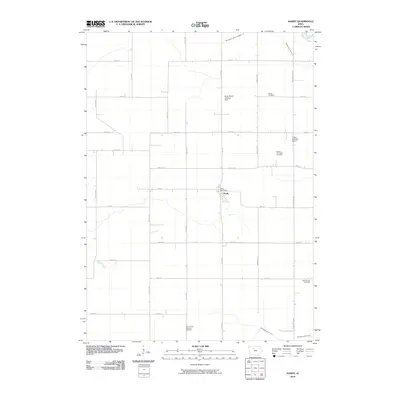 2010 Hardy2010 Print · USGSHumboldt County farmland is captured here in the early twenty-first century, showing the intersection of rural life and agrarian infrastructure. Genealogists can trace family connections at the Swiss Cemetery or Lake Church Cemetery and locate the historic Hardy Post Office.
 - 2010 Map of West Bend, 2010 Print
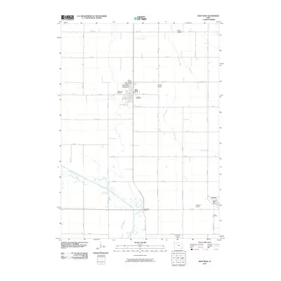 2010 West Bend2010 Print · USGSWest Bend and the surrounding prairie lands are captured here in the early twenty-first century as the agricultural heart of Palo Alto and Humboldt counties. Genealogists can locate family sites near Garfield Township Cemetery, Ottosen, or the world-renowned Grotto of the Redemption.
 - 2010 Map of Livermore, 2010 Print
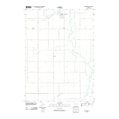 2010 Livermore2010 Print · USGSLivermore and the surrounding Humboldt County farmlands are captured here in the early twenty-first century as the local river system continues to shape the terrain. Genealogists and local historians can locate the Mount Calvary Cemetery and trace the paths of Lotts Creek and Arnold.
 - 2010 Map of Saint Joseph, 2010 Print
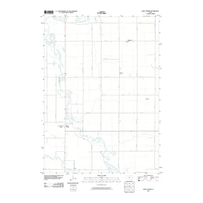 2010 Saint Joseph2010 Print · USGSNorth-central Iowa farmland is captured here in the early twenty-first century as the East Fork Des Moines River winds through Kossuth County. Genealogists and local historians can trace the vicinity of Saint Joseph and locate landmarks like Saint Joseph's Catholic Cemetery and Union Cemetery.
 - 2010 Map of Corwith, 2010 Print
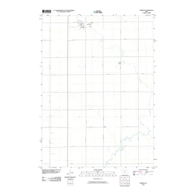 2010 Corwith2010 Print · USGSHancock County farmland is captured here in the early twenty-first century, centered on the grid of Corwith. Genealogists and local historians can locate early burial sites like Magor Township Cemetery and trace the original course of the Boone River near Aldrich.
 - 2010 Map of Humboldt, 2010 Print
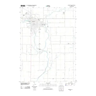 2010 Humboldt2010 Print · USGSHumboldt and Dakota City sit at the confluence of the Des Moines River forks during the early twenty-first century. Genealogists and local historians can trace numerous burial sites including Union and Indian Mound, or locate landmarks like the Humboldt Fish Hatchery.
 - 2010 Map of Unique, 2010 Print
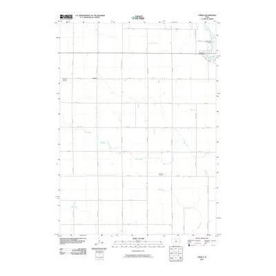 2010 Unique2010 Print · USGSHumboldt County’s rural township structure is captured here in the early twenty-first century, centered on the settlement of Unique. Researchers can locate family sites near Weaver Township Cemetery, Our Saviors Cemetery, and the Berkhimer Bridge over the Des Moines River.
 - 2010 Map of Thor, 2010 Print
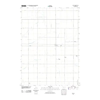 2010 Thor2010 Print · USGSThe rural agricultural lands of Humboldt County are documented here in the early twenty-first century, centered on the village of Thor. Family historians can locate numerous burial grounds across this landscape, including Norway Township Cemetery, East Ullensvang Cemetery, and Blossom Hill Cemetery.
 - 2010 Map of Lu Verne, 2010 Print
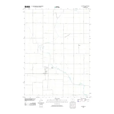 2010 Lu Verne2010 Print · USGSIowa's agricultural heartland is documented here in the early twenty-first century, showing the precise intersection of rural towns and prairie drainage. Researchers can trace the layout of Lu Verne, locate the Luverne Township Cemetery, and find the small community of Hanna.
 - 2010 Map of West Bend NE, 2010 Print
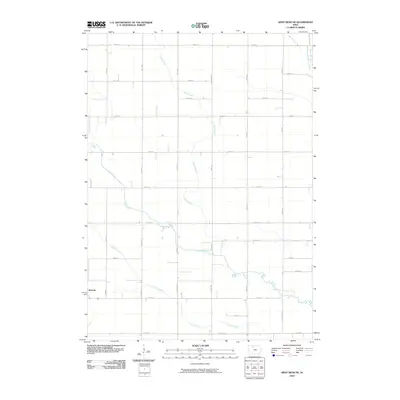 2010 West Bend NE2010 Print · USGSThe rural landscape around the town of Ottosen is shown here in the early twenty-first century, preserving the long-standing agricultural grid of Humboldt County. Genealogists and local historians can trace the paths of Lotts Creek and Trulner Creek past old section lines and family road names.
 - 2010 Map of Gilmore City, 2010 Print
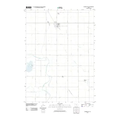 2010 Gilmore City2010 Print · USGSGilmore City and the surrounding prairie lands are captured here in the early twenty-first century. Researchers can locate the Gilmore City Post Office, trace the settlement at Pioneer, and find family history at Saint Johns Cemetery.
 - 2010 Map of Bode, 2010 Print
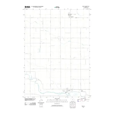 2010 Bode2010 Print · USGSHumboldt County farmland and the river valley near Bode are captured here in the early twenty-first century. Family historians can locate family plots at Saint Olaf Cemetery or trace the winding course of Bloody Run as it cuts across the rural section lines.
 - 2010 Map of Bradgate, 2010 Print
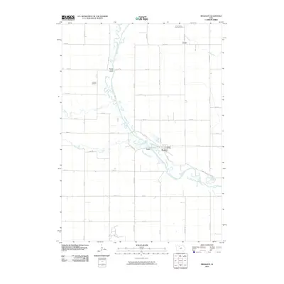 2010 Bradgate2010 Print · USGSThis Humboldt County landscape during the early 2000s shows the winding Des Moines River and its rural Iowa crossings. Local history researchers can locate family burial sites at the Old Rolfe Cemetery or McKnight Cemetery and trace the town of Bradgate.
 - 2010 Map of Renwick, 2010 Print
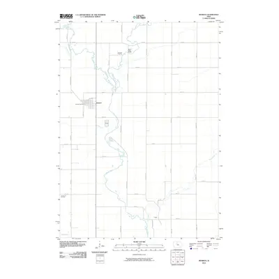 2010 Renwick2010 Print · USGSHumboldt County farmland and the winding Boone River corridor are documented here in the early twenty-first century. Genealogists and local historians can pinpoint the Renwick Post Office, find rural burials at Lake Church Cemetery, and trace the small settlement at Thrall.
 - 2010 Map of Eagle Grove, 2010 Print
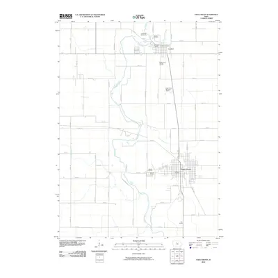 2010 Eagle Grove2010 Print · USGSWright County's agricultural and river landscape is captured here in the early twenty-first century, centered on the towns of Eagle Grove and Goldfield. Genealogists can locate several historic sites including the Wright County Burying Grounds, Rose Hill Cemetery, and Goldfield Cemetery.
 - 2013 Map of Renwick, 2013 Print
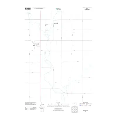 2013 Renwick2013 Print · USGSHumboldt County farmland and the town of Renwick are captured in this recent survey, showcasing the region's enduring agricultural character. Researchers can trace the local street grid near Main St and locate the crossing at Boone River Bridge.
 - 2013 Map of Eagle Grove, 2013 Print
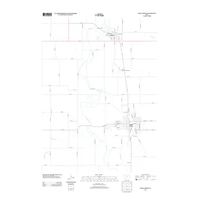 2013 Eagle Grove2013 Print · USGSWright County, Iowa, is captured here in the early twenty-first century, showing the established layouts of Goldfield and Eagle Grove. Genealogists and local historians can trace family properties near the Boone River, Bac Grove, and the Goldfield Bridge.
 - 2013 Map of Corwith, 2013 Print
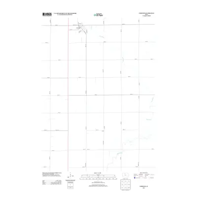 2013 Corwith2013 Print · USGSHancock County's rural character is preserved in this early twenty-first century survey of the Corwith area. Researchers can trace the town's street grid and locate smaller points of interest like Aldrich or the path of the Boone River.
 - 2013 Map of Thor, 2013 Print
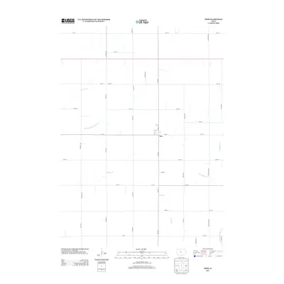 2013 Thor2013 Print · USGSThe rural landscape around Thor is captured here in the early twenty-first century, showing a highly organized agricultural grid. Trace the intersection of natural and engineered waterways like Badger Cr and Drainage Ditch Number 46.
 - 2013 Map of Bode, 2013 Print
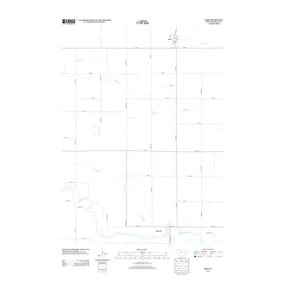 2013 Bode2013 Print · USGSHumboldt County farmland and river bends are captured here in the early twenty-first century. Genealogists and local historians can trace the town grids of Bode and Rutland or follow the waters of the Des Moines River and Bloody Run.
 - 2013 Map of Livermore, 2013 Print
 2013 Livermore2013 Print · USGSThe community of Livermore and the settlement of Arnold are shown here as they appeared in the early 21st century. Researchers can trace local landmarks like Spring Valley Golf Course and the winding course of the E Fork Des Moines River.
 - 2013 Map of Hardy, 2013 Print
 2013 Hardy2013 Print · USGSNorth-central Iowa farmland is captured here in the early twenty-first century, showing the enduring grid of Humboldt County's rural townships. Local historians can trace the streets of Hardy or locate the private Flying S Ranch Airport and the region's essential Drainage Ditch Number 18.
 - 2013 Map of West Bend NE, 2013 Print
 2013 West Bend NE2013 Print · USGSHumboldt County farmland at the start of the 2010s reveals a highly engineered landscape of prairie drainage and rural grids. Genealogists and local historians can trace the paths of Lotts Cr and Trulner Cr alongside managed waterways like Ditch Number 79.
 - 2013 Map of Bradgate, 2013 Print
 2013 Bradgate2013 Print · USGSBradgate and the surrounding Humboldt County farmland are shown here in the early twenty-first century as the Des Moines River winds through the agricultural grid. Researchers can trace river access points like Hamms Bridge Access and waterways such as Bloody Run.
 - 2013 Map of Gilmore City, 2013 Print
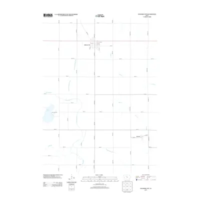 2013 Gilmore City2013 Print · USGSNorth-central Iowa farmland is shown here in the early 2010s, centered on the community of Gilmore City. Genealogists and local historians can trace the rural landscape between Pioneer and Lizard Lake, including the routes of Indian Cr and Quarry Rd.
Showing maps 1-25 of 75
Top cities of Humboldt County
- Humboldt historical maps
- Dakota City historical maps
- Livermore historical maps
- Bode historical maps
- Renwick historical maps
- Thor historical maps
See more
Frequently asked questions
- What are the different types of historical maps available for Humboldt County?
- What is the oldest map of Humboldt County?
- Where can I purchase historical maps of Humboldt County for my home or office?
- Where can I download high-res historical maps of Humboldt County?
- Are there historical topographic maps available for Humboldt County?
- Is there historical aerial imagery available for Humboldt County?
- Where are historical maps of Humboldt County sourced from?