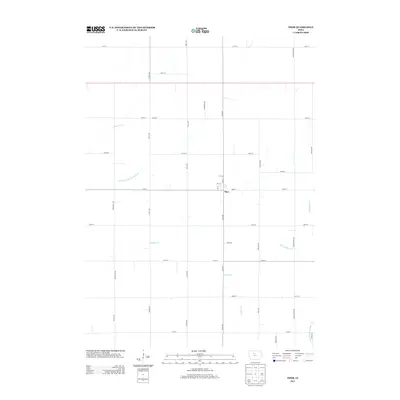
2013 Map of Thor
USGS Topo · Published 2013About this map
Thor remains the primary settlement on this agricultural landscape, centered at the intersection of Utah Ave and 250th St. The town is organized around a small grid of streets including Lela St, Fry St, and Dean St. This 2013 data illustrates a modern rural layout where the natural hydrology of Beaver Cr and Badger Cr is supplemented by an extensive man-made drainage system. These engineered waterways, such as Drainage Ditch Number 46 and Ditch Number 19, are essential components of the regional prairie-transformation for large-scale farming. The grid of section roads, spanning from Roosevelt Ave to Washington Ave, underscores the precision of the land survey system in Humboldt County, defining the spatial organization of the modern Iowa farmstead.
Find a feature on this map
39 named features on this map. Tap any name to fly to it.
Don’t see what you’re looking for? This feature index may not catch every label — zoom into the map to look around manually.
Map Details
Editions of this 2013 Thor Map
This is the sole edition of this map. No revisions or reprints were ever made.
Other maps of this area

1923 · Fort Dodge
USGS Topo · 1:62,500

1954 · Waterloo
USGS Topo · 1:250,000

1954 · Fort Dodge
USGS Topo · 1:250,000

1955 · Waterloo
USGS Topo · 1:250,000

1957 · Fort Dodge
USGS Topo · 1:250,000

1958 · Fort Dodge
USGS Topo · 1:250,000

1972 · Renwick
USGS Topo · 1:24,000

1972 · Livermore
USGS Topo · 1:24,000
1972 · Hardy
USGS Topo · 1:24,000

1978 · Eagle Grove SW
USGS Topo · 1:24,000