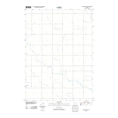
2010 Map of West Bend NE
USGS Topo · Published 2010About this map
Ottosen stands as the primary hub of activity in this rural Humboldt County landscape, positioned along the western edge of a dense grid of agricultural section roads. The terrain is defined by the slow meander of prairie waterways, including Lotts Creek and Hine Creek, which wind through the township before reaching the East Fork Des Moines River in the northeast. The rigid geometry of routes like Georgia Ave and 110th St contrasts with the fluid paths of Trulner Creek, illustrating the intersection of Iowa's organized land partitions and its natural drainage patterns. This survey provides a clear view of the mid-century agricultural structure that remained largely intact through the early 2000s, where small-scale drainage ways dictated the placement of homesteads and local transit routes.
Find a feature on this map
29 named features on this map. Tap any name to fly to it.
Don’t see what you’re looking for? This feature index may not catch every label — zoom into the map to look around manually.
Map Details
Editions of this 2010 West Bend NE Map
This is the sole edition of this map. No revisions or reprints were ever made.
Other maps of this area

1954 · Fairmont
USGS Topo · 1:250,000

1954 · Fort Dodge
USGS Topo · 1:250,000

1957 · Fort Dodge
USGS Topo · 1:250,000

1958 · Fort Dodge
USGS Topo · 1:250,000

1958 · Fairmont
USGS Topo · 1:250,000

1972 · Algona
USGS Topo · 1:24,000

1972 · St. Joseph
USGS Topo · 1:24,000

1972 · Livermore
USGS Topo · 1:24,000

1980 · Hobarton
USGS Topo · 1:24,000

1980 · West Bend
USGS Topo · 1:24,000