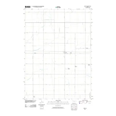
2010 Map of Thor
USGS Topo · Published 2010About this map
The small town of Thor serves as the focal point of this rural Humboldt County landscape, centered around its local infrastructure like the Thor Post Office. The surrounding terrain is defined by a dense grid of agricultural roads and a network of water management features, including Beaver Creek, Badger Creek, and Soldier Creek, as well as engineered channels such as Drainage Ditch Number 46 and Ditch Number 19. This map is particularly notable for its high concentration of pioneer and community burial sites, which reveal the deep roots of the local population. Genealogists can trace family histories through numerous documented grounds, including Norway Lake Cemetery, East Ullensvang Cemetery, West Ullensvang Cemetery, and the Willicksen Cemetery. These sites, along with others like Blossom Hill Cemetery and East Beaver Cemetery, suggest a well-established rural community with distinct congregational or neighborhood identities.
Find a feature on this map
39 named features on this map. Tap any name to fly to it.
Don’t see what you’re looking for? This feature index may not catch every label — zoom into the map to look around manually.
Map Details
Editions of this 2010 Thor Map
This is the sole edition of this map. No revisions or reprints were ever made.
Other maps of this area

1923 · Fort Dodge
USGS Topo · 1:62,500

1954 · Waterloo
USGS Topo · 1:250,000

1954 · Fort Dodge
USGS Topo · 1:250,000

1955 · Waterloo
USGS Topo · 1:250,000

1957 · Fort Dodge
USGS Topo · 1:250,000

1958 · Fort Dodge
USGS Topo · 1:250,000

1972 · Renwick
USGS Topo · 1:24,000

1972 · Livermore
USGS Topo · 1:24,000
1972 · Hardy
USGS Topo · 1:24,000

1978 · Eagle Grove SW
USGS Topo · 1:24,000