Old Maps of Kellogg Township, Iowa for Hiking & Exploration
Hike through history with 36 historic maps of Kellogg Township. Explore old trails, ghost towns, and forgotten backroads — perfect for outdoor adventurers and local explorers.
- Rediscover forgotten places: Map out old mining camps, roads, and footpaths that no longer exist on modern maps.
- Layer with modern tools: Combine with LiDAR or satellite views to plan hikes through historical terrain.
- Made for exploration: Popular among hikers, overlanders, and local history lovers.
Use these maps to find adventure and explore the hidden past of Kellogg Township.
Kellogg Township, IA maps
(36)- 1954 Map of Des Moines, 1973 Print
 1954 Des Moines1973 Print · USGSCentral Iowa's evolving landscape is captured here in the early seventies, just as major reservoirs were reshaping the river valleys. Genealogists and historians can trace the rail corridors of the Burlington Northern or locate family roots near Pella, Indianola, and Knoxville.2 unique versions available
 - 1956 Map of Des Moines
 1956 Des Moines1956 Print · USGSCentral Iowa in the mid-fifties shows a landscape defined by bustling rail hubs and deep-rooted agricultural research. Genealogists and researchers can trace the growth of Des Moines and Ames, locate the Sac and Fox Indian Reservation, or study the paths of the Skunk River and South Skunk River.
 - 1957 Map of Des Moines
 1957 Des Moines1957 Print · USGSCentral Iowa's post-war landscape is defined here by the converging rail lines and river valleys that shaped its earliest settlements. Genealogists and historians can trace the paths of the Rock Island Railroad and locate community landmarks in Des Moines, Ames, and Newton.
 - 1965 Map of Newton, 1966 Print
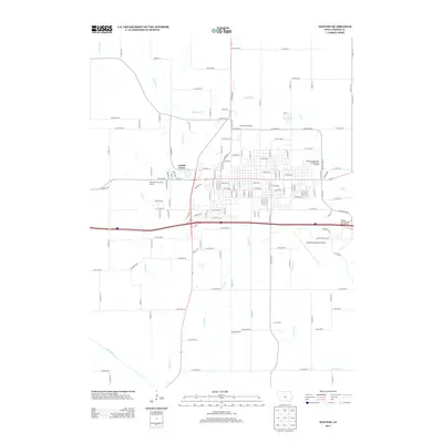
 1965 Newton1966 Print · USGSNewton and the surrounding Jasper County landscape are captured in the mid-sixties as the city expanded along the Rock Island rail line. Genealogists can trace family sites at Union Cem or Palo Alto Ch, while researchers can locate the Riverview Honor Farm and the Drive-in Theater.
 - 1969 Map of Des Moines
 1969 Des Moines1969 Print · USGSCentral Iowa's fertile plains and growing capital are captured here during the late sixties, a time of major highway expansion and reservoir construction. Genealogists and researchers can trace rural township boundaries, local cemeteries, and rail lines serving towns like Pella, Grinnell, and Oskaloosa.
 - 1975 Map of Baxter SE, 1978 Print
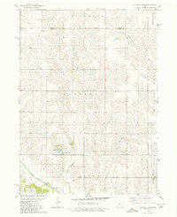
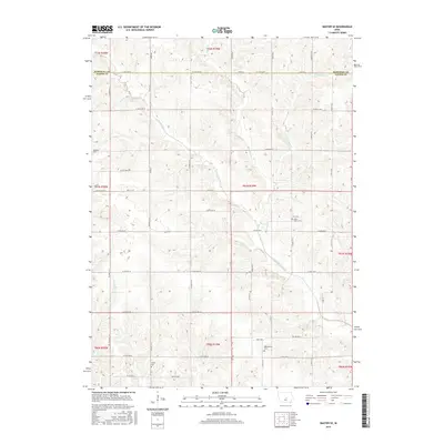
 1975 Baxter SE1978 Print · USGSJasper County farmland in the mid-1970s is defined by the winding North Skunk River and a network of rural townships. Genealogists and local historians can locate several family burial grounds including Bethany Cem and the Wittenberg Grange Hall.
 - 1980 Map of Alloway Creek
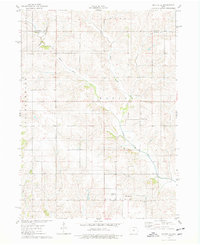
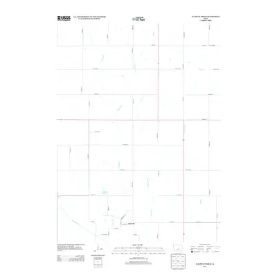
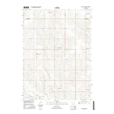
 1980 Alloway Creek1980 Print · USGSThe rural borderlands of Jasper and Marshall counties come to life in this 1980 study of the Iowa heartland. Local historians can trace family roots near the Rushville Cem or explore the mid-century development of Mariposa County Park and Ken Wolfe Lake.
 - 1980 Map of Oakland Acres
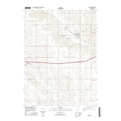
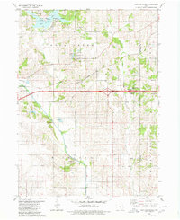 1980 Oakland Acres1980 Print · USGSJasper and Poweshiek counties were undergoing modern development in the early 1980s, balancing new highway infrastructure with established farming communities. Genealogists can locate family landmarks like Westfield Cem, Sugar Creek Cem, and the quiet grounds of Bethel Ch.
 - 1980 Map of Kellogg
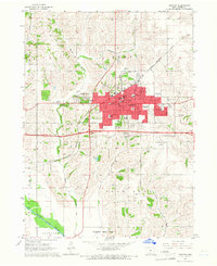
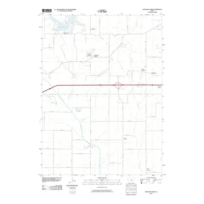
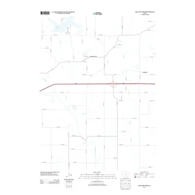
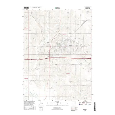
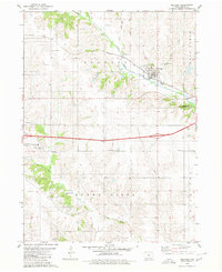 1980 Kellogg1980 Print · USGSJasper County is captured here in the early 1980s, centered on the river valley and rail corridor of Kellogg. Local historians can trace family roots through numerous burial grounds like Our Silent City Cem and rural landmarks such as Beacon Light Sch.2 unique versions available
 - 1984 Map of Des Moines, 1985 Print
 1984 Des Moines1985 Print · USGSCentral Iowa's heartland is captured in the mid-1980s as suburban growth met long-standing farm and rail infrastructure. Genealogists and researchers can trace the reaches of the Chicago and North Western through Maxwell or locate Laurel Hill Cem and Camp Dodge Military Reservation.2 unique versions available
 - 1984 Map of Grinnell, 1985 Print
 1984 Grinnell1985 Print · USGSCentral Iowa's prairie towns and rail corridors are captured in the mid-1980s, showcasing the agricultural grid and protected marshlands. Researchers can trace historic routes along the Chicago and North Western or locate family roots near the Sac and Fox Indian Reservation and Lake Ponderosa.2 unique versions available
 - 2010 Map of Newton, 2010 Print
 2010 Newton2010 Print · USGSCovers Kellogg Township, including Newton, Lambs Grove, and other nearby areas
 - 2010 Map of Baxter SE, 2010 Print
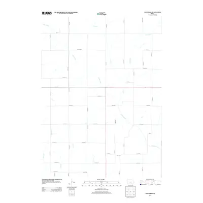
 2010 Baxter SE2010 Print · USGSCovers Kellogg Township, including Independence Township, Malaka Township, and other nearby areas
 - 2010 Map of Alloway Creek, 2010 Print
 2010 Alloway Creek2010 Print · USGSCovers Kellogg Township, including Jefferson Township, Malaka Township, and other nearby areas
 - 2010 Map of Oakland Acres, 2010 Print
 2010 Oakland Acres2010 Print · USGSCovers Kellogg Township, including Oakland Acres, Richland Township, and other nearby areas
 - 2010 Map of Kellogg, 2010 Print
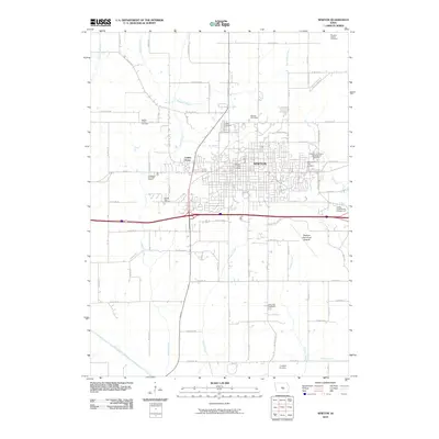
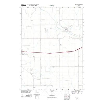 2010 Kellogg2010 Print · USGSCovers Kellogg Township, including Newton, Kellogg, and other nearby areas
 - 2013 Map of Baxter SE, 2013 Print
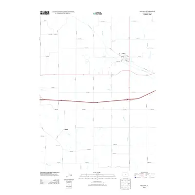
 2013 Baxter SE2013 Print · USGSCovers Kellogg Township, including Independence Township, Malaka Township, and other nearby areas
 - 2013 Map of Kellogg, 2013 Print
 2013 Kellogg2013 Print · USGSCovers Kellogg Township, including Newton, Kellogg, and other nearby areas
 - 2013 Map of Alloway Creek, 2013 Print
 2013 Alloway Creek2013 Print · USGSCovers Kellogg Township, including Jefferson Township, Malaka Township, and other nearby areas
 - 2013 Map of Newton, 2013 Print
 2013 Newton2013 Print · USGSCovers Kellogg Township, including Newton, Lambs Grove, and other nearby areas
 - 2013 Map of Oakland Acres, 2013 Print
 2013 Oakland Acres2013 Print · USGSCovers Kellogg Township, including Oakland Acres, Richland Township, and other nearby areas
 - 2015 Map of Baxter SE, 2015 Print
 2015 Baxter SE2015 Print · USGSCovers Kellogg Township, including Independence Township, Malaka Township, and other nearby areas
 - 2015 Map of Newton, 2015 Print
 2015 Newton2015 Print · USGSCovers Kellogg Township, including Newton, Lambs Grove, and other nearby areas
 - 2015 Map of Alloway Creek, 2015 Print
 2015 Alloway Creek2015 Print · USGSCovers Kellogg Township, including Jefferson Township, Malaka Township, and other nearby areas
 - 2015 Map of Kellogg, 2015 Print
 2015 Kellogg2015 Print · USGSCovers Kellogg Township, including Newton, Kellogg, and other nearby areas
Showing maps 1-25 of 36
Top cities near Kellogg Township
- Newton historical maps
- Grinnell historical maps
- Monroe historical maps
- Baxter historical maps
- Sully historical maps
- Melbourne historical maps
See more
Top neighborhoods of Kellogg Township
Frequently asked questions
- What are the different types of historical maps available for Kellogg Township?
- What is the oldest map of Kellogg Township?
- Where can I purchase historical maps of Kellogg Township for my home or office?
- Where can I download high-res historical maps of Kellogg Township?
- Are there historical topographic maps available for Kellogg Township?
- Is there historical aerial imagery available for Kellogg Township?
- Where are historical maps of Kellogg Township sourced from?