2000s (21st Century) Maps of Madison Township, Iowa
Explore 20 historic maps of Madison Township from the 2000s (21st Century). These maps offer a rare glimpse into what life looked like during the 2000s — showing old roads, neighborhoods, homes, and landmarks that have changed or disappeared over time.
Whether you're researching your family's past, planning a metal detecting trip, or studying how Madison Township's landscape evolved across the 2000s, these high-resolution maps are a powerful tool for exploring the history of this region.
- Focus on a specific era: All maps on this page are from the 2000s, giving you a focused view of this time period.
- See what’s changed: Compare century-old streets, trails, and buildings to today's modern landscape using overlays and satellite layers.
- Research with precision: Use these maps for genealogy, historical research, land use analysis, or educational projects.
- View, download, or print: Maps are fully viewable online in high resolution, and can be downloaded or printed for your own records.
Start exploring Madison Township's history through authentic maps from the 2000s. This is your window into the past.
Madison Township, IA maps
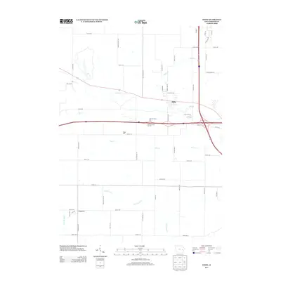
(20)- 2010 Map of Swisher, 2010 Print
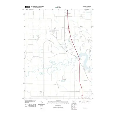 2010 Swisher2010 Print · USGSCovers Madison Township, including Cedar Rapids, North Liberty, and other nearby areas
 - 2010 Map of Iowa City West, 2010 Print
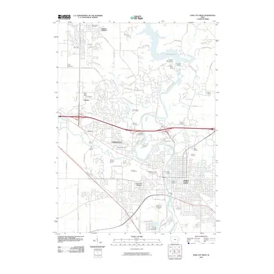 2010 Iowa City West2010 Print · USGSCovers Madison Township, including Iowa City, Coralville, and other nearby areas
 - 2010 Map of Ely, 2010 Print
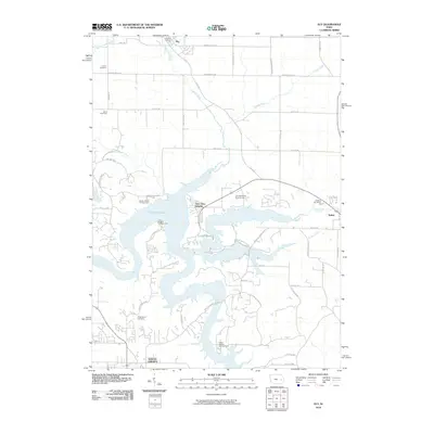 2010 Ely2010 Print · USGSCovers Madison Township, including North Liberty, Solon, and other nearby areas
 - 2010 Map of Tiffin, 2010 Print
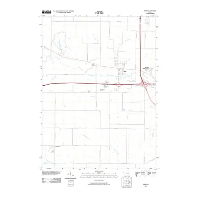 2010 Tiffin2010 Print · USGSCovers Madison Township, including Coralville, North Liberty, and other nearby areas
 - 2013 Map of Tiffin, 2013 Print
 2013 Tiffin2013 Print · USGSCovers Madison Township, including Coralville, North Liberty, and other nearby areas
 - 2013 Map of Iowa City West, 2013 Print
 2013 Iowa City West2013 Print · USGSCovers Madison Township, including Iowa City, Coralville, and other nearby areas
 - 2013 Map of Swisher, 2013 Print
 2013 Swisher2013 Print · USGSCovers Madison Township, including Cedar Rapids, North Liberty, and other nearby areas
 - 2013 Map of Ely, 2013 Print
 2013 Ely2013 Print · USGSCovers Madison Township, including North Liberty, Solon, and other nearby areas
 - 2015 Map of Ely, 2015 Print
 2015 Ely2015 Print · USGSCovers Madison Township, including North Liberty, Solon, and other nearby areas
 - 2015 Map of Iowa City West, 2015 Print
 2015 Iowa City West2015 Print · USGSCovers Madison Township, including Iowa City, Coralville, and other nearby areas
 - 2015 Map of Tiffin, 2015 Print
 2015 Tiffin2015 Print · USGSCovers Madison Township, including Coralville, North Liberty, and other nearby areas
 - 2015 Map of Swisher, 2015 Print
 2015 Swisher2015 Print · USGSCovers Madison Township, including Cedar Rapids, North Liberty, and other nearby areas
 - 2018 Map of Ely, 2018 Print
 2018 Ely2018 Print · USGSCovers Madison Township, including North Liberty, Solon, and other nearby areas
 - 2018 Map of Tiffin, 2018 Print
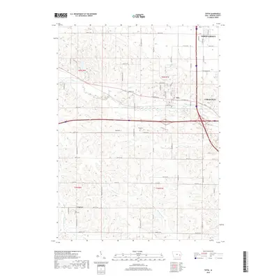 2018 Tiffin2018 Print · USGSCovers Madison Township, including Coralville, North Liberty, and other nearby areas
 - 2018 Map of Iowa City West, 2018 Print
 2018 Iowa City West2018 Print · USGSCovers Madison Township, including Iowa City, Coralville, and other nearby areas
 - 2018 Map of Swisher, 2018 Print
 2018 Swisher2018 Print · USGSCovers Madison Township, including Cedar Rapids, North Liberty, and other nearby areas
 - 2022 Map of Iowa City West, 2022 Print
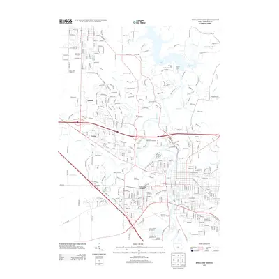
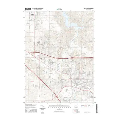
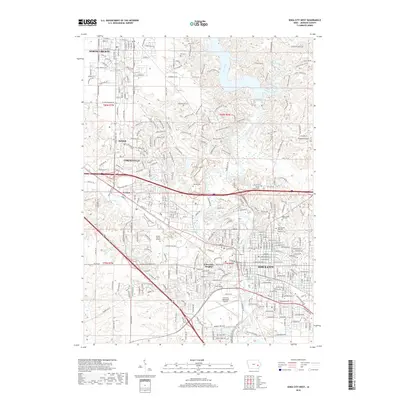
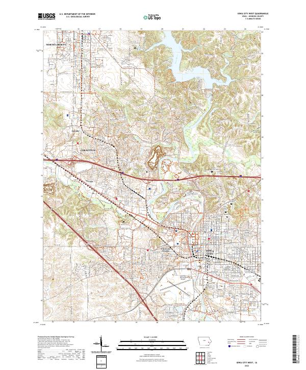 2022 Iowa City West2022 Print · USGSIowa City and Coralville are shown during their modern expansion in the early twenty-first century. Researchers can locate numerous historic burial sites like the Pioneer Burial Ground or trace the grounds of the University of Iowa and Johnson County Courthouse.
 - 2022 Map of Swisher, 2022 Print
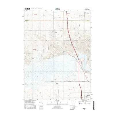
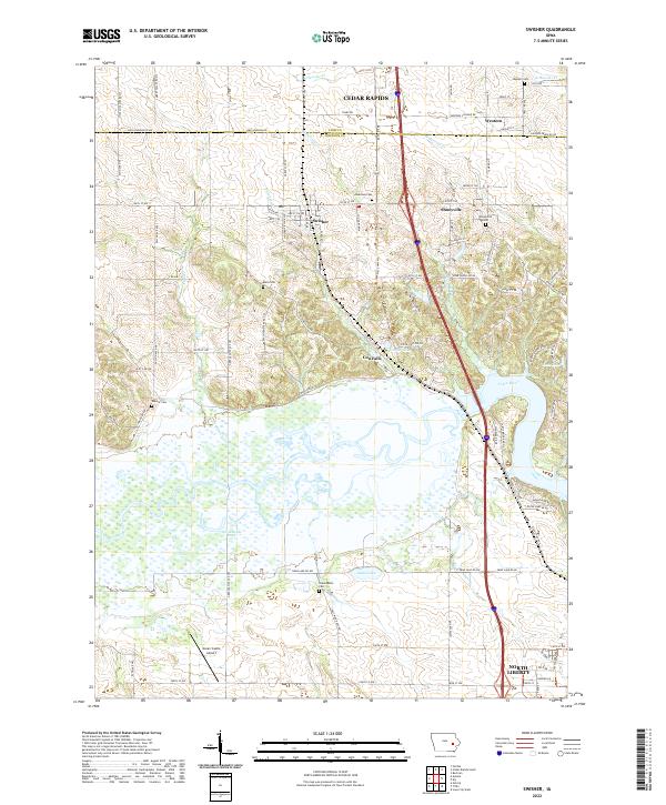 2022 Swisher2022 Print · USGSThe Johnson County countryside south of Cedar Rapids is documented here in the early twenty-first century as suburban growth meets rural farmland. Genealogists can locate several historic burial sites like Greencastle Cem and Shueyville Cem along the Iowa River valley.
 - 2022 Map of Ely, 2022 Print
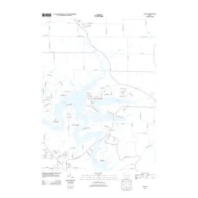
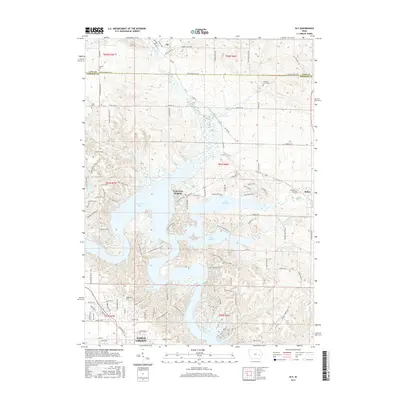
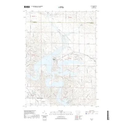
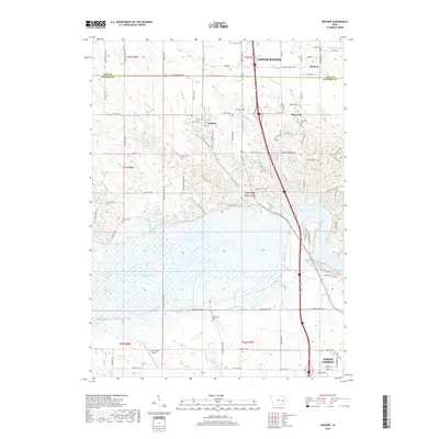
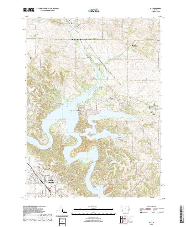 2022 Ely2022 Print · USGSThe corridor between Linn and Johnson County shows significant development and water recreation in this contemporary survey. Family historians can trace numerous rural burial grounds such as Sulek Cem and Oakland Cem or explore the shores of Lake McBride.
 - 2022 Map of Tiffin, 2022 Print
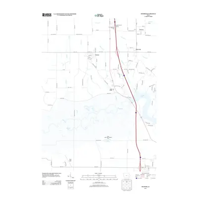
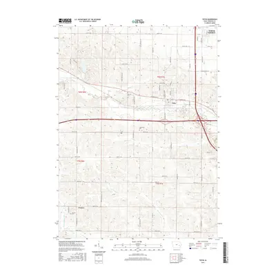
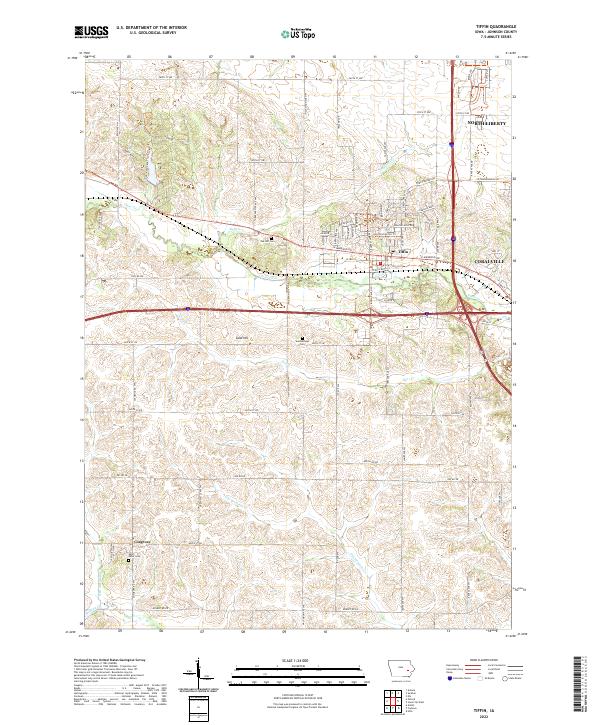 2022 Tiffin2022 Print · USGSThis Johnson County survey captures the modern expansion around Tiffin and North Liberty during the early twenty-first century. Researchers can trace historic burial sites like Summerhays Cem and local landmarks such as Sand Hill and Kent Park.
End of results
Showing maps 1-20 of 20
Top cities near Madison Township
- Cedar Rapids historical maps
- Iowa City historical maps
- Coralville historical maps
- North Liberty historical maps
- Mount Vernon historical maps
- Tiffin historical maps
See more
Frequently asked questions
- What are the different types of historical maps available for Madison Township?
- What is the oldest map of Madison Township?
- Where can I purchase historical maps of Madison Township for my home or office?
- Where can I download high-res historical maps of Madison Township?
- Are there historical topographic maps available for Madison Township?
- Is there historical aerial imagery available for Madison Township?
- Where are historical maps of Madison Township sourced from?