Old Maps of Scott Township, Iowa for Genealogy
Trace your family roots with 31 historic maps of Scott Township. These high-res maps reveal old neighborhoods, homesites, landmarks, and streets — helping you uncover where your ancestors lived and how the area evolved over time.
- Explore historic neighborhoods: Identify where your relatives may have lived in the 1800s or 1900s.
- Compare maps over time: Trace the changes in streets, buildings, and landmarks for multi-generational research.
- Perfect for genealogy & ancestry research: Used by family historians and researchers to map out lineage and migration.
These maps are an incredible resource for exploring your personal connection to Scott Township's past.
Scott Township, IA maps
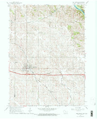
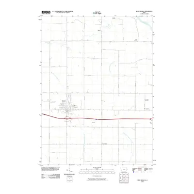
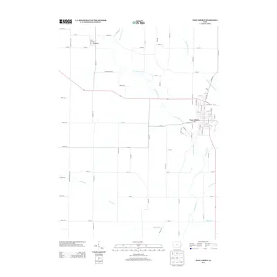
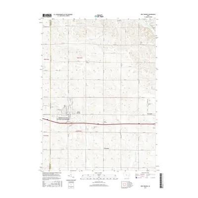
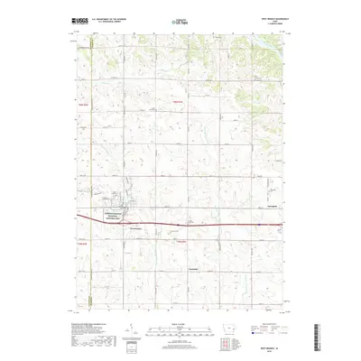
(31)- 1894 Map of West Liberty
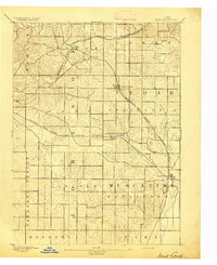 1894 West Liberty1894 Print · USGSEastern Iowa in the late nineteenth century was a landscape of burgeoning rail towns and agricultural hubs. Genealogists and local historians can trace early property boundaries and settlement sites like West Branch, Plato, and the rail junction at West Liberty.2 unique versions available
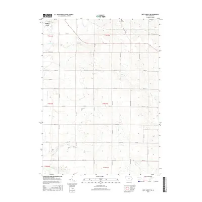
 - 1901 Map of Stanwood
 1901 Stanwood1901 Print · USGSEastern Iowa is defined by its fertile plains and busy rail corridors at the turn of the century. Genealogists and historians can trace the early layouts of Tipton, West Liberty, and Mt. Vernon, alongside vanished stopping points like Lime City and Walden.2 unique versions available
 - 1958 Map of Davenport, 1968 Print
 1958 Davenport1968 Print · USGSEastern Iowa and western Illinois thrive along the river during the late fifties, defined by the industrial Quad Cities and a robust rail network. Genealogists can trace family roots through settlements like Oasis and Stanwood or along the Cedar River.2 unique versions available
 - 1961 Map of Davenport
 1961 Davenport1961 Print · USGSThe Quad Cities and the eastern Iowa riverlands are captured here in the early sixties, showing the region's transition into a modern industrial and transit hub. Genealogists and historians can trace the paths of major railroads and find river landmarks like Rock Island Arsenal, Huron Island, and the Coralville Reservoir.
 - 1962 Map of Davenport
 1962 Davenport1962 Print · USGSThe Quad Cities and the Mississippi River corridor are shown at their industrial peak just before the interstate era fully transformed the region. Researchers can trace the sprawling rail networks of the Chicago Rock Island and Pacific and find landmarks like the Rock Island Arsenal and Wild Cat Den State Park.
 - 1965 Map of West Liberty, 1966 Print
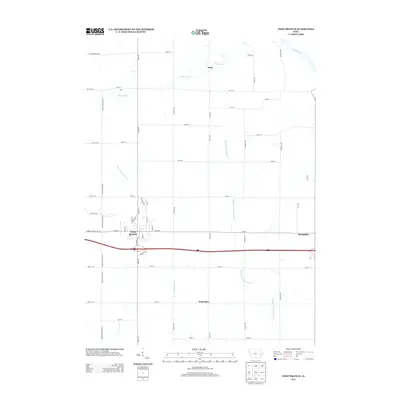
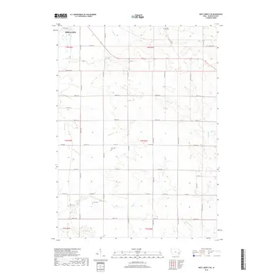
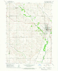 1965 West Liberty1966 Print · USGSMid-century Muscatine County is centered here on the busy rail junction of West Liberty and the surrounding prairie farmsteads. Researchers can trace family history through numerous rural landmarks like South Prairie Grange Hall, Oak Ridge Cemetery, and the settlement at Downey.
 - 1965 Map of West Liberty SW, 1967 Print
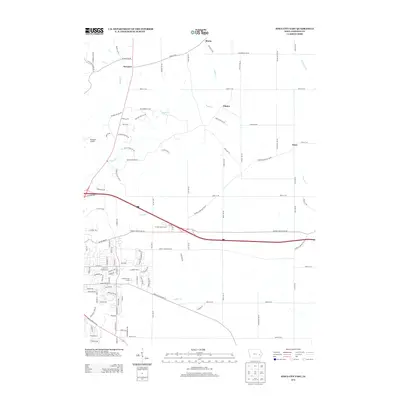
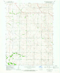 1965 West Liberty SW1967 Print · USGSJohnson County farmland south of Iowa City is captured here in the mid-1960s, showing a landscape defined by township lines and prairie creeks. Researchers can locate rural landmarks like Scott Cem, Walker Cem, and the Chicago Rock Island and Pacific rail line.
 - 1965 Map of Iowa City East, 1967 Print
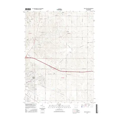
 1965 Iowa City East1967 Print · USGSThe eastern outskirts of Iowa City and rural Johnson County are captured here in the mid-1960s, showing a landscape shaped by rail and agriculture. Researchers can locate numerous vanished country schoolhouses like Railroad Sch and Center Sch, along with the Chicago Rock Island and Pacific rail line.3 unique versions available
 - 1965 Map of West Branch, 1967 Print
 1965 West Branch1967 Print · USGSEastern Iowa farmland centered on West Branch is captured here in the mid-sixties, just as modern interstate travel was reshaping the region. Genealogists and historians can trace family locations near the Hoover Birthplace National Historic Site, Scattergood Sch, and Honey Grove Cem.2 unique versions available
 - 1984 Map of Iowa City, 1985 Print
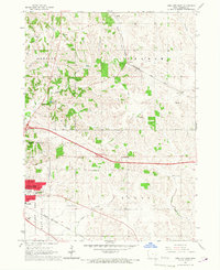
 1984 Iowa City1985 Print · USGSEastern Iowa in the mid-eighties shows a landscape of expanding university towns and river-fed conservation lands. Genealogists and local historians can trace the rural networks connecting Iowa City to smaller outposts like West Branch, Solon, and Atalissa.2 unique versions available
 - 1993 Map of Iowa City East, 1994 Print
 1993 Iowa City East1994 Print · USGSIowa City and its eastern rural surroundings are documented in the early nineties as suburban expansion met established farmsteads. Genealogists and historians can trace Memory Gardens Cem, the Old Railroad Grade, and the small community of Oasis.
 - 2010 Map of West Liberty, 2010 Print
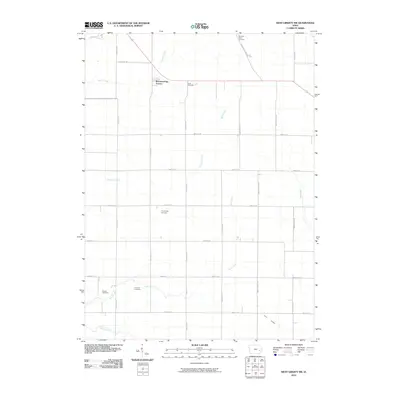
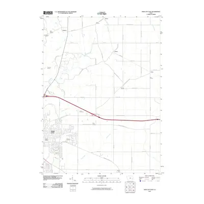
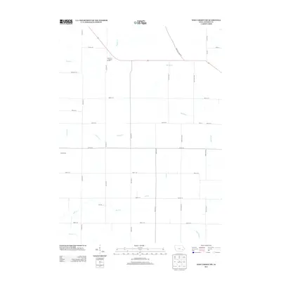
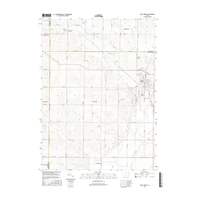
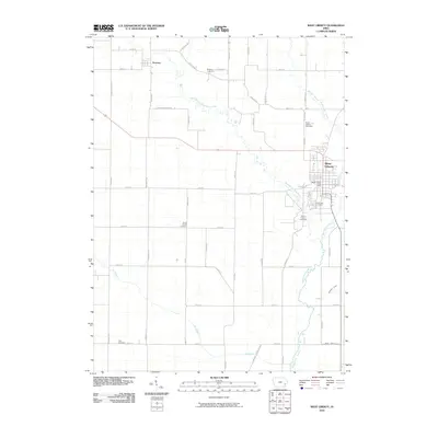 2010 West Liberty2010 Print · USGSCovers Scott Township, including West Liberty, Downey, and other nearby areas
 - 2010 Map of West Liberty SW, 2010 Print
 2010 West Liberty SW2010 Print · USGSCovers Scott Township, including Iowa City, East Lucas Township, and other nearby areas
 - 2010 Map of Iowa City East, 2010 Print
 2010 Iowa City East2010 Print · USGSCovers Scott Township, including Iowa City, Elmira, and other nearby areas
 - 2010 Map of West Branch, 2010 Print
 2010 West Branch2010 Print · USGSCovers Scott Township, including West Branch, Springdale, and other nearby areas
 - 2013 Map of West Branch, 2013 Print
 2013 West Branch2013 Print · USGSCovers Scott Township, including West Branch, Springdale, and other nearby areas
 - 2013 Map of West Liberty SW, 2013 Print
 2013 West Liberty SW2013 Print · USGSCovers Scott Township, including Iowa City, East Lucas Township, and other nearby areas
 - 2013 Map of Iowa City East, 2013 Print
 2013 Iowa City East2013 Print · USGSCovers Scott Township, including Iowa City, Elmira, and other nearby areas
 - 2013 Map of West Liberty, 2013 Print
 2013 West Liberty2013 Print · USGSCovers Scott Township, including West Liberty, Downey, and other nearby areas
 - 2015 Map of West Liberty, 2015 Print
 2015 West Liberty2015 Print · USGSCovers Scott Township, including West Liberty, Downey, and other nearby areas
 - 2015 Map of Iowa City East, 2015 Print
 2015 Iowa City East2015 Print · USGSCovers Scott Township, including Iowa City, Elmira, and other nearby areas
 - 2015 Map of West Liberty SW, 2015 Print
 2015 West Liberty SW2015 Print · USGSCovers Scott Township, including Iowa City, East Lucas Township, and other nearby areas
 - 2015 Map of West Branch, 2015 Print
 2015 West Branch2015 Print · USGSCovers Scott Township, including West Branch, Springdale, and other nearby areas
 - 2018 Map of West Branch, 2018 Print
 2018 West Branch2018 Print · USGSCovers Scott Township, including West Branch, Springdale, and other nearby areas
 - 2018 Map of West Liberty SW, 2018 Print
 2018 West Liberty SW2018 Print · USGSCovers Scott Township, including Iowa City, East Lucas Township, and other nearby areas
Showing maps 1-25 of 31
Top cities near Scott Township
- Cedar Rapids historical maps
- Iowa City historical maps
- Coralville historical maps
- North Liberty historical maps
- Tiffin historical maps
- West Liberty historical maps
See more
Frequently asked questions
- What are the different types of historical maps available for Scott Township?
- What is the oldest map of Scott Township?
- Where can I purchase historical maps of Scott Township for my home or office?
- Where can I download high-res historical maps of Scott Township?
- Are there historical topographic maps available for Scott Township?
- Is there historical aerial imagery available for Scott Township?
- Where are historical maps of Scott Township sourced from?