2010s Maps of Jones County, Iowa
Explore 64 historic maps of Jones County from the 2010s. These maps offer a rare glimpse into what life looked like during the 2010s — showing old roads, neighborhoods, homes, and landmarks that have changed or disappeared over time.
Whether you're researching your family's past, planning a metal detecting trip, or studying how Jones County's landscape evolved across the 2010s, these high-resolution maps are a powerful tool for exploring the history of this region.
- Focus on a specific era: All maps on this page are from the 2010s, giving you a focused view of this time period.
- See what’s changed: Compare century-old streets, trails, and buildings to today's modern landscape using overlays and satellite layers.
- Research with precision: Use these maps for genealogy, historical research, land use analysis, or educational projects.
- View, download, or print: Maps are fully viewable online in high resolution, and can be downloaded or printed for your own records.
Start exploring Jones County's history through authentic maps from the 2010s. This is your window into the past.
Jones County, IA maps
(64)- 2010 Map of Mechanicsville, 2010 Print
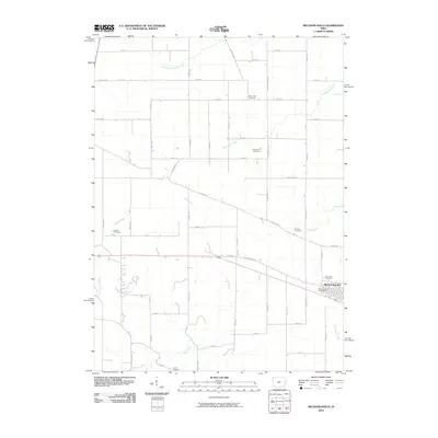 2010 Mechanicsville2010 Print · USGSMechanicsville and the surrounding Cedar County farmlands are captured here during the first decade of the 2000s. Genealogists can locate numerous local burial sites including Rose Hill Cemetery, Piper-Kohl Cemetery, and the Mechanicsville Post Office.
 - 2010 Map of Hopkinton West, 2010 Print
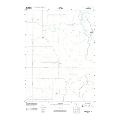 2010 Hopkinton West2010 Print · USGSEastern Delaware County is seen here during the first decade of the 2000s, where the western edge of Hopkinton borders the Maquoketa River. Genealogists and local historians can trace rural family sites near Uniontown, Argand, and the Buck Creek Cemetery.
 - 2010 Map of Anamosa, 2010 Print
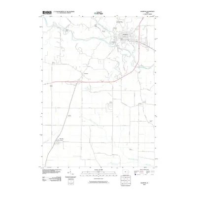 2010 Anamosa2010 Print · USGSJones County at the start of the 2010s shows a landscape of river-valley towns and quiet rural crossroads. Researchers can trace local heritage through numerous burial sites like Boot Hill and Holy Cross Cemetery, or locate the historic center of Stone City.
 - 2010 Map of Cascade, 2010 Print
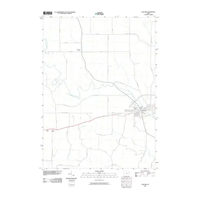 2010 Cascade2010 Print · USGSCascade and the surrounding Dubuque County farmlands are captured in this recent survey, showcasing the town's position along the North Fork Maquoketa River. Genealogists can locate several burial sites, including Saint Marys Catholic Cemetery and the Bowens Prairie Cemetery.
 - 2010 Map of Scotch Grove, 2010 Print
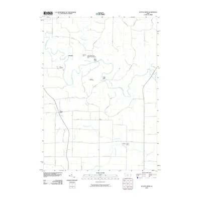 2010 Scotch Grove2010 Print · USGSJones County at the turn of the millennium reveals a landscape deeply shaped by the Maquoketa River and its rural Iowa roots. Researchers can trace historical industrial sites like Ebys Mill and family landmarks such as Scott Cemetery.
 - 2010 Map of Wyoming West, 2010 Print
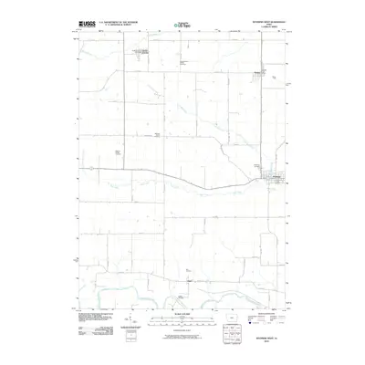 2010 Wyoming West2010 Print · USGSJones County at the turn of the 21st century reveals a landscape of enduring rural communities and riverfront settlements. Genealogists and local historians can trace family plots at North Madison Pioneer Cemetery or locate civic landmarks like the Hale Bridge and Onslow Post Office.
 - 2010 Map of Stanwood, 2010 Print
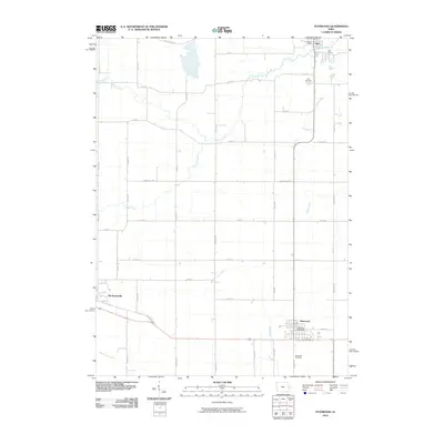 2010 Stanwood2010 Print · USGSThe Cedar County prairie of the early twenty-first century is captured here, showing the enduring agricultural grid surrounding Mechanicsville and Stanwood. Researchers can trace the path of the Old Lincoln Hwy and locate the Olin Cemetery or Stanwood Cemetery.
 - 2010 Map of Clarence, 2010 Print
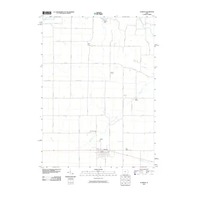 2010 Clarence2010 Print · USGSClarence and the surrounding Cedar County countryside are documented here during the early twenty-first century. Genealogists can trace family history through several local burial grounds like Pleasant Hill Cemetery and Saint Johns Cemetery, while others can map the flow of the Wapsipinicon River.
 - 2010 Map of Oxford Junction, 2010 Print
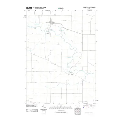 2010 Oxford Junction2010 Print · USGSJones County's river-bottom lands and agricultural plateaus are documented here in the early twenty-first century. Family historians can locate several rural burial grounds like Mayflower Cemetery and trace the paths of Mill Creek and Plum Creek.
 - 2010 Map of Hopkinton East, 2010 Print
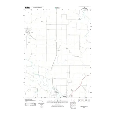 2010 Hopkinton East2010 Print · USGSEastern Jones and Delaware counties are documented in this 2010 survey as the rural landscape balances agriculture and local recreation. Genealogists can trace family names through Willard and Mount Pleasant cemeteries or locate the Hopkinton Post Office.
 - 2010 Map of Monticello, 2010 Print
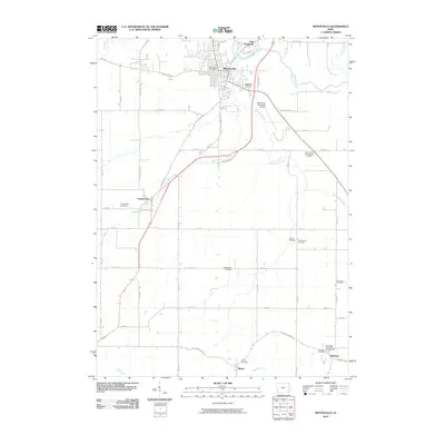 2010 Monticello2010 Print · USGSJones County at the turn of the decade is centered on the river city of Monticello and its surrounding agricultural townships. Genealogists and historians can trace numerous family burial sites such as Oakwood Cemetery or visit the Edinburgh Ghost Town and Museum.
 - 2010 Map of Anamosa NE, 2010 Print
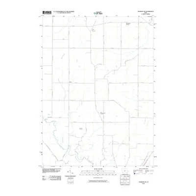 2010 Anamosa NE2010 Print · USGSJones County's rural townships are captured here just after the millennium, showing a landscape defined by farmsteads and creek valleys. Family historians can trace the locations of Prairie Hill Cemetery, Fremont Cemetery, and the settlement of Cass.
 - 2010 Map of Morley, 2010 Print
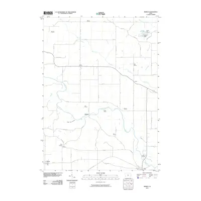 2010 Morley2010 Print · USGSJones County's river valleys and rural crossroads are captured in this 2010 survey of eastern Iowa. Researchers can trace family history through a high density of rural burial grounds like Midland Cemetery and landmarks such as the Fremont Mill Bridge.
 - 2010 Map of Fillmore, 2010 Print
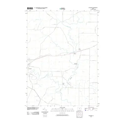 2010 Fillmore2010 Print · USGSCascade and the surrounding Dubuque County countryside are captured here in the early twenty-first century as the landscape transitioned between historic farmsteads and modern development. Researchers can locate family landmarks like Moore's Ford Bridge and traces of old transit routes along Narrow Gauge Rd.
 - 2010 Map of Wyoming East, 2010 Print
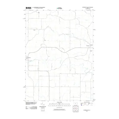 2010 Wyoming East2010 Print · USGSEastern Jones County at the start of the 2010s reveals a settled landscape of family farms and historic small towns. Genealogists can trace family names at South Mineral Cemetery or Cady Cemetery and locate the Monmouth Post Office.
 - 2010 Map of Canton, 2010 Print
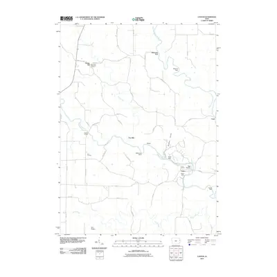 2010 Canton2010 Print · USGSThe rural stretches of eastern Iowa are preserved here in the first decade of the new millennium. Researchers can trace family roots through the Saint Peters Temple Hill Cemetery and the small community of Temple Hill.
 - 2013 Map of Oxford Junction, 2013 Print
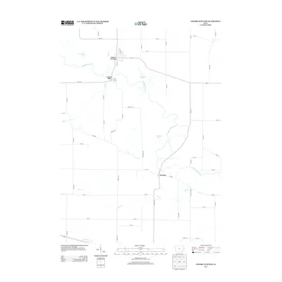 2013 Oxford Junction2013 Print · USGSJones County's river valleys remained central to local life in the early 21st century. Researchers can trace the layout of Oxford Junction and Oxford Mills or explore the wetlands of the Wapsipinicon River including Bullhead Lake and West Goose Lake.
 - 2013 Map of Wyoming West, 2013 Print
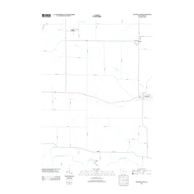 2013 Wyoming West2013 Print · USGSJones County townships are captured here in the early twenty-first century, showing the enduring agricultural character of the eastern Iowa plains. Researchers can trace family ties and property locations between the settlements of Wyoming, Center Junction, and Onslow, or locate the historic river crossing at Hale Bridge.
 - 2013 Map of Scotch Grove, 2013 Print
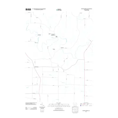 2013 Scotch Grove2013 Print · USGSJones County's river-driven geography is well-preserved here as it appeared in the early 21st century. Researchers can trace old river crossings and local history at Ebys Mill, Corbett's Mill Bridge, and the Scotch Grove settlement.
 - 2013 Map of Anamosa NE, 2013 Print
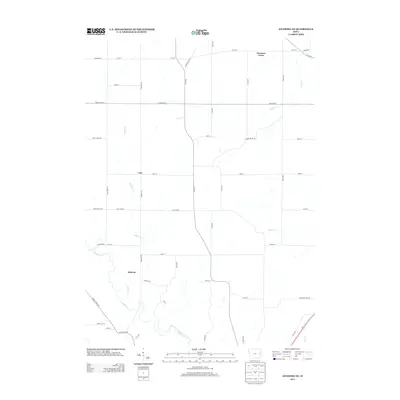 2013 Anamosa NE2013 Print · USGSJones County townships in the early 2000s show a landscape of rural crossroads and winding creek beds. Genealogists and local historians can trace family land near Downers Grove, Cass, and Jackson, or follow the banks of Buffalo Cr and Helmer Cr.
 - 2013 Map of Anamosa, 2013 Print
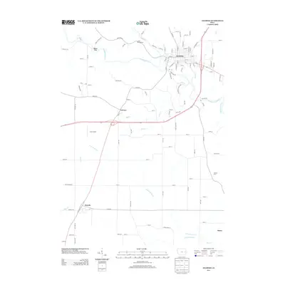 2013 Anamosa2013 Print · USGSJones County at the start of the 2010s shows a landscape of river-bend towns and prairie farmsteads. Genealogists and local historians can trace the developments around Anamosa, Stone City, and the outlying crossroads of Fairview and Martelle.
 - 2013 Map of Hopkinton West, 2013 Print
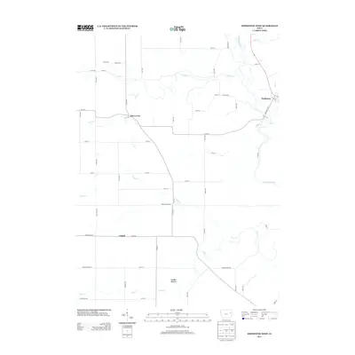 2013 Hopkinton West2013 Print · USGSDelaware County farmland and the winding Maquoketa River define this Iowa landscape in the early twenty-first century. Genealogists and researchers can trace the rural hubs of Buck Creek, Castle Grove, and Argand as they appeared before recent shifts in local infrastructure.
 - 2013 Map of Hopkinton East, 2013 Print
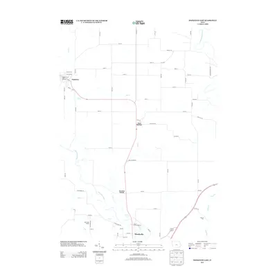 2013 Hopkinton East2013 Print · USGSJones County at the start of the twenty-first century reveals a landscape of river-valley settlements and rural road networks. Genealogists and local historians can trace the paths between Hopkinton, Sand Springs, and the landmarks surrounding the Maquoketa River.
 - 2013 Map of Cascade, 2013 Print
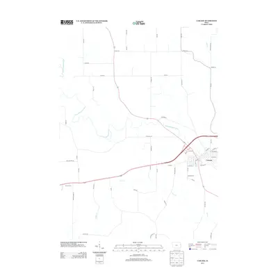 2013 Cascade2013 Print · USGSCascade and the surrounding Iowa countryside are captured here in the early twenty-first century as the river-carved landscape continues its agricultural legacy. Genealogists and local researchers can trace family lands along the N Fork Maquoketa River and locate historic points like Bowens Prairie and Farm Cr.
 - 2013 Map of Morley, 2013 Print
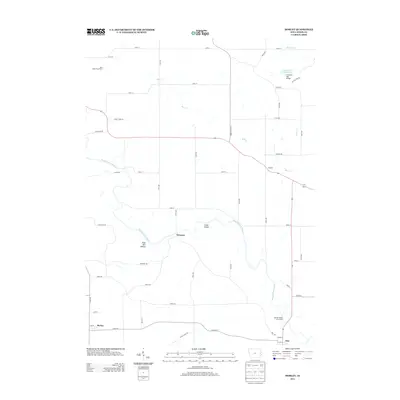 2013 Morley2013 Print · USGSJones County, Iowa, is captured here in the early twenty-first century as a landscape of river-bottom lands and agricultural crossroads. Researchers can locate specific family landmarks and infrastructure including the Fremont Mill Bridge, the Iowa State Penal Farm, and small communities like Newport and Morley.
Showing maps 1-25 of 64
Top cities of Jones County
- Anamosa historical maps
- Monticello historical maps
- Olin historical maps
- Wyoming historical maps
- Oxford Junction historical maps
- Martelle historical maps
See more
Frequently asked questions
- What are the different types of historical maps available for Jones County?
- What is the oldest map of Jones County?
- Where can I purchase historical maps of Jones County for my home or office?
- Where can I download high-res historical maps of Jones County?
- Are there historical topographic maps available for Jones County?
- Is there historical aerial imagery available for Jones County?
- Where are historical maps of Jones County sourced from?