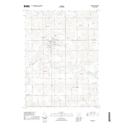
Old Maps of Hayesville, Iowa for Metal Detecting
Plan your next treasure hunt with 17 historic maps of Hayesville. Find old homesites, ghost towns, trails, and gathering spots that may be lost to time — perfect for identifying promising metal detecting locations.
- Locate forgotten sites: Uncover places like long-lost settlements, abandoned rail lines, or gathering spots.
- Plan better hunts: Use map overlays combined with LiDAR or satellite views to narrow in on historically rich areas.
- Made for detectorists: Thousands of hobbyists use these maps to discover relics, coins, and hidden history.
Use these historic maps to boost your research and find new opportunities beneath the surface of Hayesville.
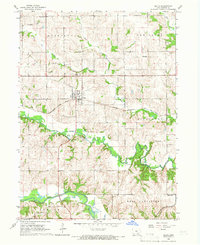
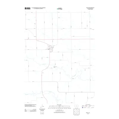
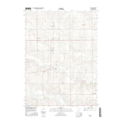
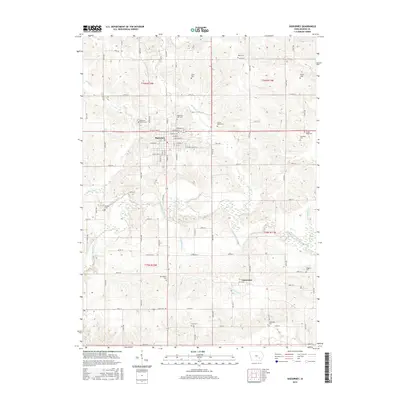
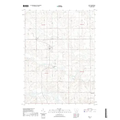
Hayesville, IA maps
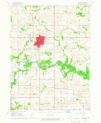
(17)- 1954 Map of Des Moines, 1973 Print
 1954 Des Moines1973 Print · USGSCentral Iowa's evolving landscape is captured here in the early seventies, just as major reservoirs were reshaping the river valleys. Genealogists and historians can trace the rail corridors of the Burlington Northern or locate family roots near Pella, Indianola, and Knoxville.2 unique versions available
 - 1956 Map of Des Moines
 1956 Des Moines1956 Print · USGSCentral Iowa in the mid-fifties shows a landscape defined by bustling rail hubs and deep-rooted agricultural research. Genealogists and researchers can trace the growth of Des Moines and Ames, locate the Sac and Fox Indian Reservation, or study the paths of the Skunk River and South Skunk River.
 - 1957 Map of Des Moines
 1957 Des Moines1957 Print · USGSCentral Iowa's post-war landscape is defined here by the converging rail lines and river valleys that shaped its earliest settlements. Genealogists and historians can trace the paths of the Rock Island Railroad and locate community landmarks in Des Moines, Ames, and Newton.
 - 1965 Map of Sigourney, 1966 Print
 1965 Sigourney1966 Print · USGSSigourney and the surrounding Iowa countryside are captured here in the mid-1960s, showing a landscape defined by rail lines and river valleys. Genealogists can trace family names at Pennington Cem or Conner Cem and locate landmarks like the County Farm.
 - 1965 Map of Delta, 1966 Print
 1965 Delta1966 Print · USGSDelta and the Skunk River valleys are captured here in the mid-sixties, showing a landscape of coal mines, quarries, and small-town rail commerce. Researchers can locate several family burial grounds like Garrett Cem and landmarks such as the Covered Bridge.
 - 1969 Map of Des Moines
 1969 Des Moines1969 Print · USGSCentral Iowa's fertile plains and growing capital are captured here during the late sixties, a time of major highway expansion and reservoir construction. Genealogists and researchers can trace rural township boundaries, local cemeteries, and rail lines serving towns like Pella, Grinnell, and Oskaloosa.
 - 1982 Map of Oskaloosa
 1982 Oskaloosa1982 Print · USGSSoutheast Iowa's river valleys and rail hubs are meticulously detailed in the early eighties, showing a landscape of productive farmland and growing municipal centers. Researchers can trace the legacy of small-town life and local industry through features like Union Mills, What Cheer, and the extensive Burlington Northern rail network.
 - 2010 Map of Sigourney, 2010 Print
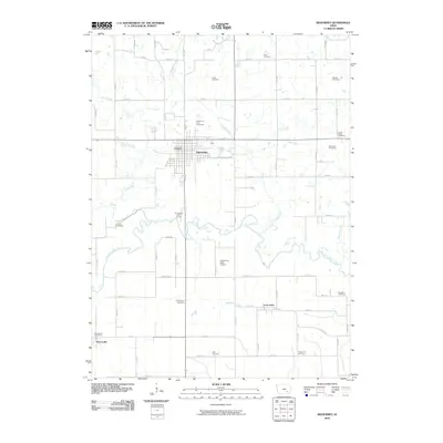 2010 Sigourney2010 Print · USGSCovers Hayesville, including Sigourney, Lanscaster, and other nearby areas
 - 2010 Map of Delta, 2010 Print
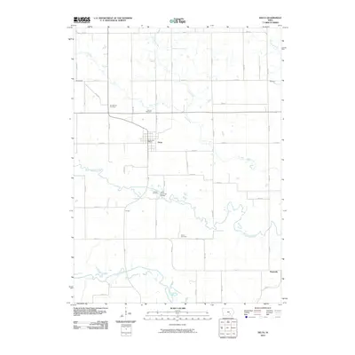 2010 Delta2010 Print · USGSCovers Hayesville, including Delta, Keokuk County, and other nearby areas
 - 2013 Map of Delta, 2013 Print
 2013 Delta2013 Print · USGSCovers Hayesville, including Delta, Keokuk County, and other nearby areas
 - 2013 Map of Sigourney, 2013 Print
 2013 Sigourney2013 Print · USGSCovers Hayesville, including Sigourney, Lanscaster, and other nearby areas
 - 2015 Map of Delta, 2015 Print
 2015 Delta2015 Print · USGSCovers Hayesville, including Delta, Keokuk County, and other nearby areas
 - 2015 Map of Sigourney, 2015 Print
 2015 Sigourney2015 Print · USGSCovers Hayesville, including Sigourney, Lanscaster, and other nearby areas
 - 2018 Map of Delta, 2018 Print
 2018 Delta2018 Print · USGSCovers Hayesville, including Delta, Keokuk County, and other nearby areas
 - 2018 Map of Sigourney, 2018 Print
 2018 Sigourney2018 Print · USGSCovers Hayesville, including Sigourney, Lanscaster, and other nearby areas
 - 2022 Map of Delta, 2022 Print
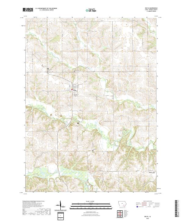 2022 Delta2022 Print · USGSSettled along the forks of the Skunk River in Keokuk County, this recent survey documents the enduring rural character of eastern Iowa. Genealogists can locate family burial sites at Springfield Cem, Garrett Cem, and Bethel Cem or trace the early paths of Cedar Cr.
 - 2022 Map of Sigourney, 2022 Print
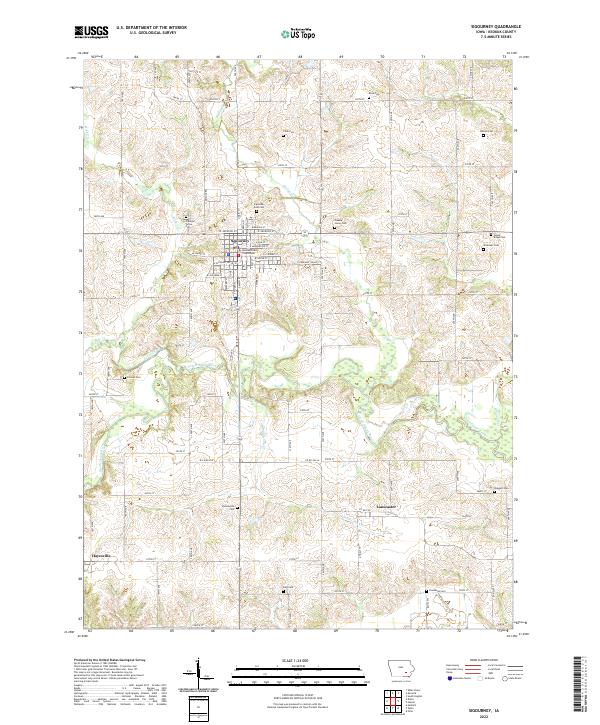 2022 Sigourney2022 Print · USGSSigourney and the Keokuk County seat are captured in this contemporary look at the river-laced Iowa countryside. Genealogists can trace family names across more than a dozen local burial sites, from Knox Cem and Walton Cem to the Sigourney East Cem.
End of results
Showing maps 1-17 of 17
Top cities near Hayesville
- Ottumwa historical maps
- Sigourney historical maps
- Hedrick historical maps
- Fremont historical maps
- What Cheer historical maps
- Maharishi Vedic City historical maps
See more
Frequently asked questions
- What are the different types of historical maps available for Hayesville?
- What is the oldest map of Hayesville?
- Where can I purchase historical maps of Hayesville for my home or office?
- Where can I download high-res historical maps of Hayesville?
- Are there historical topographic maps available for Hayesville?
- Is there historical aerial imagery available for Hayesville?
- Where are historical maps of Hayesville sourced from?