2000s (21st Century) Maps of Lyon County, Iowa
Explore 105 historic maps of Lyon County from the 2000s (21st Century). These maps offer a rare glimpse into what life looked like during the 2000s — showing old roads, neighborhoods, homes, and landmarks that have changed or disappeared over time.
Whether you're researching your family's past, planning a metal detecting trip, or studying how Lyon County's landscape evolved across the 2000s, these high-resolution maps are a powerful tool for exploring the history of this region.
- Focus on a specific era: All maps on this page are from the 2000s, giving you a focused view of this time period.
- See what’s changed: Compare century-old streets, trails, and buildings to today's modern landscape using overlays and satellite layers.
- Research with precision: Use these maps for genealogy, historical research, land use analysis, or educational projects.
- View, download, or print: Maps are fully viewable online in high resolution, and can be downloaded or printed for your own records.
Start exploring Lyon County's history through authentic maps from the 2000s. This is your window into the past.
Lyon County, IA maps
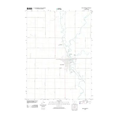
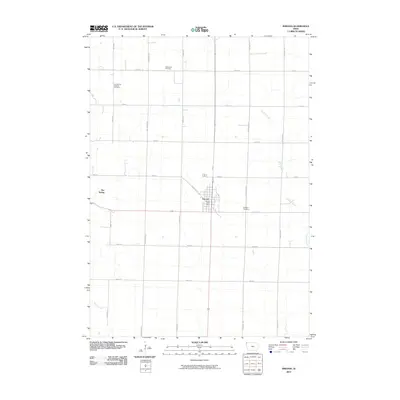
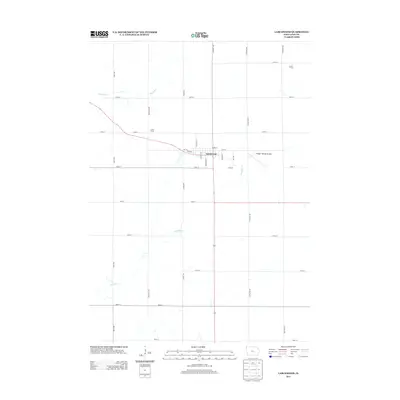
(105)- 2010 Map of George West, 2010 Print
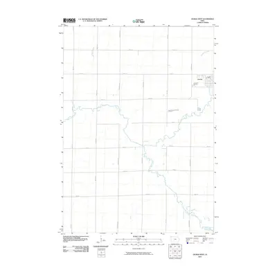 2010 George West2010 Print · USGSCovers Lyon County, including George, Sioux County, and other nearby areas
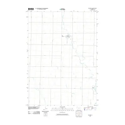
 - 2010 Map of Doon, 2010 Print
 2010 Doon2010 Print · USGSCovers Lyon County, including Doon, Lakewood Corner, and other nearby areas
 - 2010 Map of Little Rock, 2010 Print
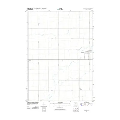 2010 Little Rock2010 Print · USGSCovers Lyon County, including Little Rock, Nobles County, and other nearby areas
 - 2010 Map of Sibley West, 2010 Print
 2010 Sibley West2010 Print · USGSCovers Lyon County, including Sibley, Little Rock, and other nearby areas
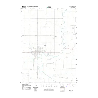
 - 2010 Map of Rock Rapids, 2010 Print
 2010 Rock Rapids2010 Print · USGSCovers Lyon County, including Rock Rapids, Allison Township, and other nearby areas
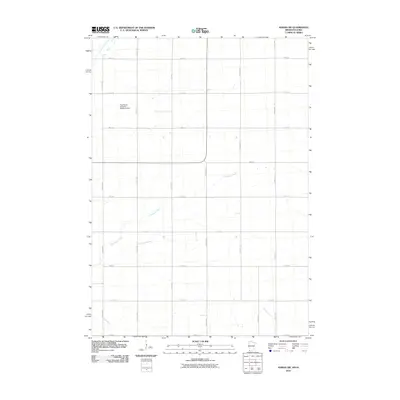
 - 2010 Map of Edna, 2010 Print
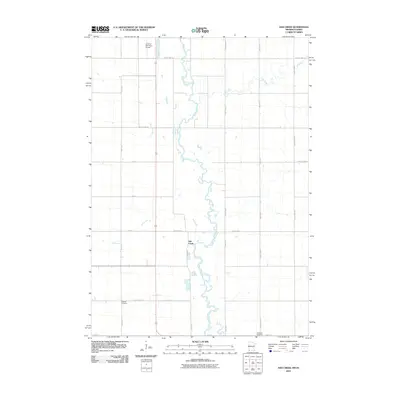
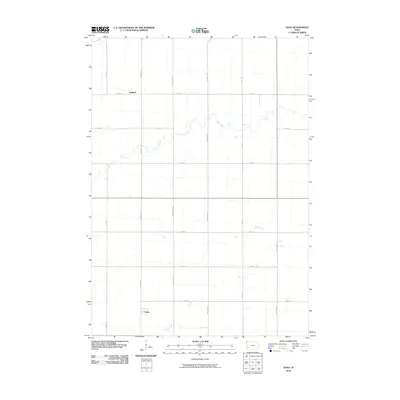 2010 Edna2010 Print · USGSCovers Lyon County, including Midland, Edna, and other nearby areas
 - 2010 Map of Lester, 2010 Print
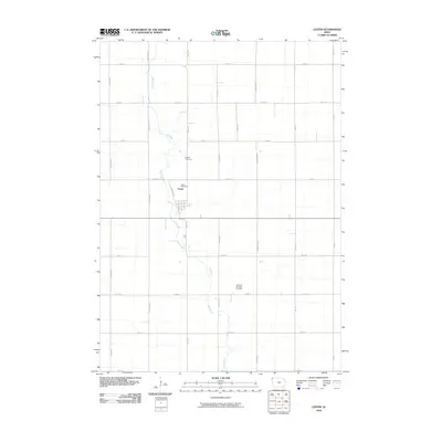 2010 Lester2010 Print · USGSCovers Lyon County, including Lester, Allison Township, and other nearby areas
 - 2010 Map of George East, 2010 Print
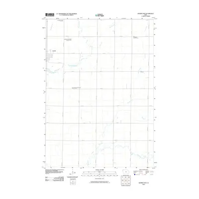 2010 George East2010 Print · USGSCovers Lyon County, including George, Sioux County, and other nearby areas
 - 2010 Map of Ashton, 2010 Print
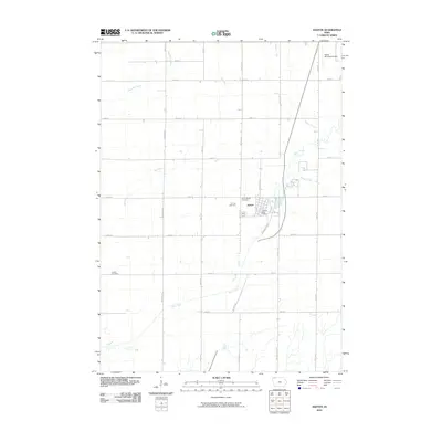 2010 Ashton2010 Print · USGSCovers Lyon County, including Ashton, Sioux County, and other nearby areas
 - 2010 Map of Larchwood, 2010 Print
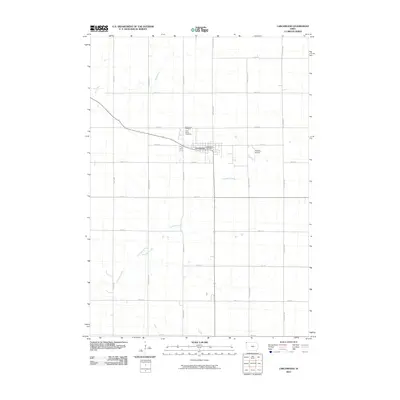 2010 Larchwood2010 Print · USGSCovers Lyon County, including Larchwood, Larchwood Township, and other nearby areas
 - 2010 Map of Canton, 2010 Print
 2010 Canton2010 Print · USGSCovers Lyon County, including Canton, Lyon Township, and other nearby areas
 - 2010 Map of Klondike, 2010 Print
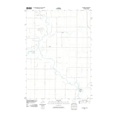 2010 Klondike2010 Print · USGSCovers Lyon County, including Klondike, Granite, and other nearby areas
 - 2010 Map of Inwood, 2010 Print
 2010 Inwood2010 Print · USGSCovers Lyon County, including Inwood, Elm Spring, and other nearby areas
 - 2010 Map of Alvord, 2010 Print
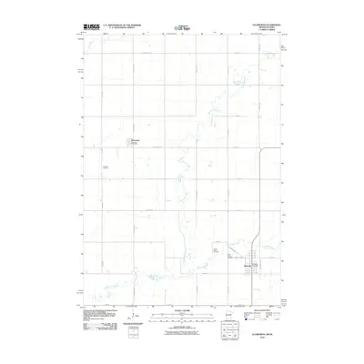
 2010 Alvord2010 Print · USGSCovers Lyon County, including Alvord, Sioux County, and other nearby areas
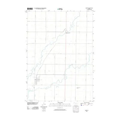
 - 2010 Map of Rushmore, 2010 Print
 2010 Rushmore2010 Print · USGSCovers Lyon County, including Rushmore, Ransom, and other nearby areas
 - 2010 Map of Adrian SW, 2010 Print
 2010 Adrian SW2010 Print · USGSCovers Lyon County, including Adrian, Nobles County, and other nearby areas
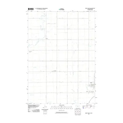
 - 2010 Map of Ash Creek, 2010 Print
 2010 Ash Creek2010 Print · USGSCovers Lyon County, including Allison Township, Ash Creek, and other nearby areas
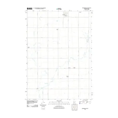
 - 2010 Map of Ellsworth, 2010 Print
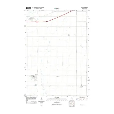
 2010 Ellsworth2010 Print · USGSCovers Lyon County, including Ellsworth, Kanaranzi, and other nearby areas
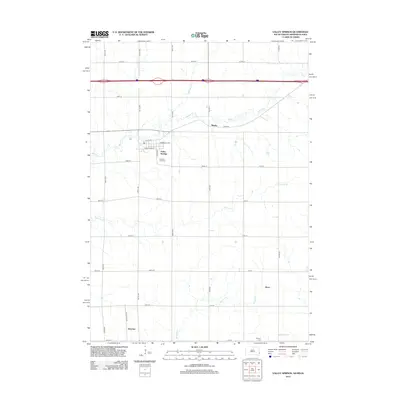
 - 2010 Map of Valley Springs, 2010 Print
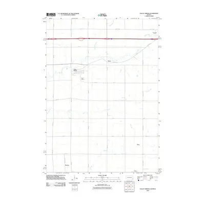 2010 Valley Springs2010 Print · USGSCovers Lyon County, including Valley Springs, Sioux Township, and other nearby areas
 - 2010 Map of Hills, 2010 Print
 2010 Hills2010 Print · USGSCovers Lyon County, including Hills, Beaver Creek, and other nearby areas
 - 2011 Map of Brandon, 2011 Print
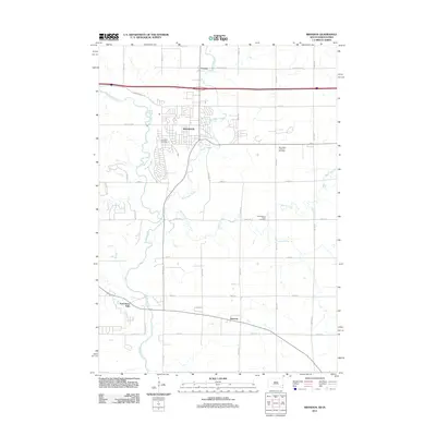 2011 Brandon2011 Print · USGSCovers Lyon County, including Sioux Falls, Brandon, and other nearby areas
 - 2012 Map of Canton, 2012 Print
 2012 Canton2012 Print · USGSCovers Lyon County, including Canton, Lyon Township, and other nearby areas
 - 2012 Map of Brandon, 2012 Print
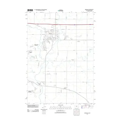 2012 Brandon2012 Print · USGSCovers Lyon County, including Sioux Falls, Brandon, and other nearby areas
 - 2012 Map of Valley Springs, 2012 Print
 2012 Valley Springs2012 Print · USGSCovers Lyon County, including Valley Springs, Sioux Township, and other nearby areas
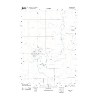
 - 2013 Map of Larchwood, 2013 Print
 2013 Larchwood2013 Print · USGSCovers Lyon County, including Larchwood, Larchwood Township, and other nearby areas
Showing maps 1-25 of 105
Top cities of Lyon County
- Rock Rapids historical maps
- George historical maps
- Inwood historical maps
- Doon historical maps
- Little Rock historical maps
- Lester historical maps
See more
Frequently asked questions
- What are the different types of historical maps available for Lyon County?
- What is the oldest map of Lyon County?
- Where can I purchase historical maps of Lyon County for my home or office?
- Where can I download high-res historical maps of Lyon County?
- Are there historical topographic maps available for Lyon County?
- Is there historical aerial imagery available for Lyon County?
- Where are historical maps of Lyon County sourced from?