Old Maps of Little Rock, Iowa for Academic Research
Study the evolution of Little Rock with 15 high-resolution historic maps. Whether you're teaching, researching, or modeling changes in land use, these maps provide essential visual documentation of urban, environmental, and geographic change.
- Analyze long-term change: Track patterns in development, transportation, and natural features.
- Ideal for environmental or urban studies: Support academic projects with primary historical map data.
- Use in the classroom or lab: Educators and researchers rely on these maps to bring historical context to life.
These maps are a powerful tool for teaching, research, and visualizing how Little Rock has changed over the decades.
Little Rock, IA maps
(15)- 1954 Map of Fairmont, 1967 Print
 1954 Fairmont1967 Print · USGSThe prairie landscape of southern Minnesota and northern Iowa comes alive in this mid-century survey of the Coteau des Prairies. Genealogists and historians can trace the rail-connected growth of Fairmont and Blue Earth or locate family roots near St Kilian Ch and Union Slough National Wildlife Refuge.3 unique versions available
 - 1958 Map of Fairmont
 1958 Fairmont1958 Print · USGSThe borderlands of southern Minnesota and northern Iowa come alive in the mid-1950s, showing a landscape defined by glacial lakes and rail-line commerce. Researchers can trace historic landmarks like Lakeside Laboratory, Gridley Station, and the Bancroft Wildlife Refuge across the prairie.
 - 1972 Map of Little Rock, 1975 Print
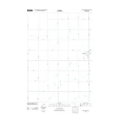
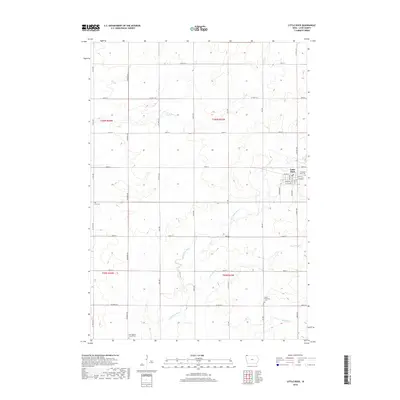
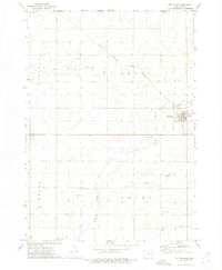 1972 Little Rock1975 Print · USGSThe Lyon County prairie meets the Minnesota state line in the early 1970s, centered on the railroad crossing at Little Rock. Local researchers can trace family landmarks like Zion Cem, Bethel Ch, and the old Rock Island and Pacific rail line.
 - 1972 Map of Sibley West, 1975 Print
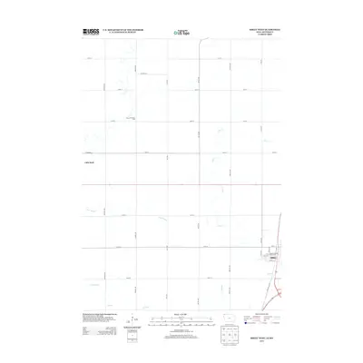
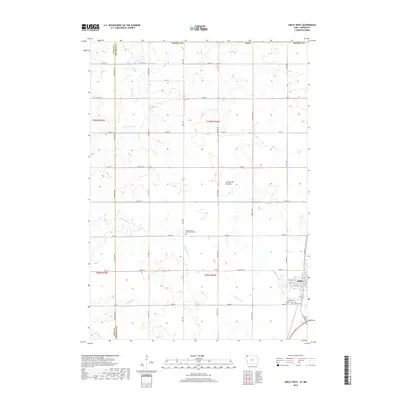
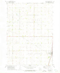 1972 Sibley West1975 Print · USGSOsceola County at the start of the seventies shows a landscape defined by the intersection of major rail lines and a thriving agricultural grid. Genealogists can locate family sites near Holman Cem, Argo, and the Sibley town site.
 - 1985 Map of Iowa Great Lakes
 1985 Iowa Great Lakes1985 Print · USGSNorthwest Iowa’s glacial lakes and prairie towns are captured here in the mid-1980s, showing a landscape balanced between agriculture and lakeside recreation. Genealogists and historians can locate family sites near Holman Cem or trace the early rail corridors of the Chicago and North Western and the Chicago Milwaukee St Paul and Pacific.2 unique versions available
 - 2010 Map of Little Rock, 2010 Print
 2010 Little Rock2010 Print · USGSCovers Little Rock, including Nobles County, Lyon County, and other nearby areas
 - 2010 Map of Sibley West, 2010 Print
 2010 Sibley West2010 Print · USGSCovers Little Rock, including Sibley, Nobles County, and other nearby areas
 - 2013 Map of Little Rock, 2013 Print
 2013 Little Rock2013 Print · USGSCovers Little Rock, including Nobles County, Lyon County, and other nearby areas
 - 2013 Map of Sibley West, 2013 Print
 2013 Sibley West2013 Print · USGSCovers Little Rock, including Sibley, Nobles County, and other nearby areas
 - 2015 Map of Little Rock, 2015 Print
 2015 Little Rock2015 Print · USGSCovers Little Rock, including Nobles County, Lyon County, and other nearby areas
 - 2015 Map of Sibley West, 2015 Print
 2015 Sibley West2015 Print · USGSCovers Little Rock, including Sibley, Nobles County, and other nearby areas
 - 2018 Map of Sibley West, 2018 Print
 2018 Sibley West2018 Print · USGSCovers Little Rock, including Sibley, Nobles County, and other nearby areas
 - 2018 Map of Little Rock, 2018 Print
 2018 Little Rock2018 Print · USGSCovers Little Rock, including Nobles County, Lyon County, and other nearby areas
 - 2022 Map of Little Rock, 2022 Print
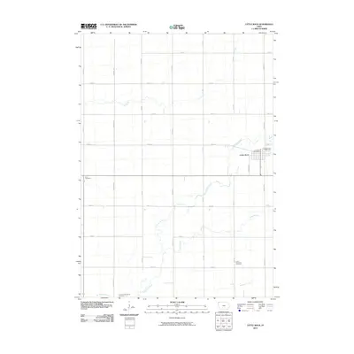
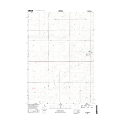
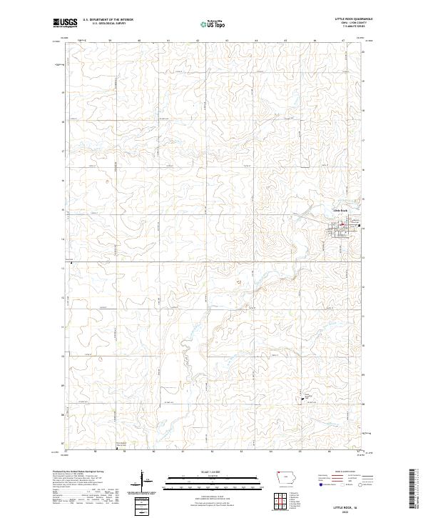 2022 Little Rock2022 Print · USGSThe town of Little Rock and the surrounding Lyon County prairie are shown here in the early twenty-first century. Genealogists and local historians can locate several burial grounds, including Pleasant View Cem, Zion Cem, and Grant Township Cem.
 - 2022 Map of Sibley West, 2022 Print
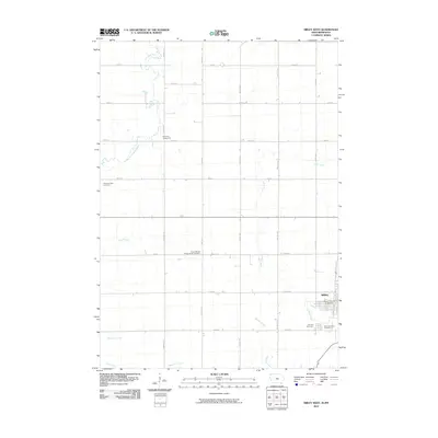
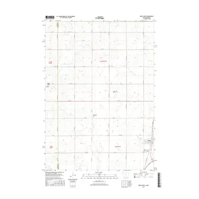
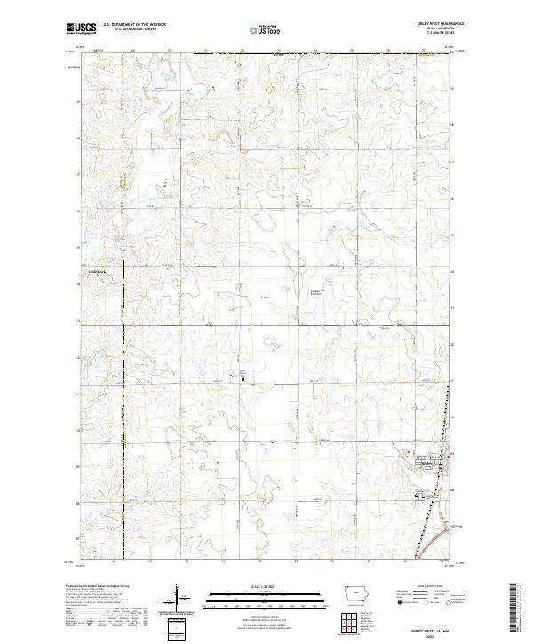 2022 Sibley West2022 Print · USGSOsceola County farmland and the rising Coteau des Prairies define this portion of northwest Iowa in the early twenty-first century. Researchers can trace local genealogy at Hope Church Cem or map the drainage of the Little Rock River and Argo Slough.
End of results
Showing maps 1-15 of 15
Top cities near Little Rock
- Sibley historical maps
- Adrian historical maps
- George historical maps
- Ellsworth historical maps
- Ashton historical maps
- Rushmore historical maps
See more
Frequently asked questions
- What are the different types of historical maps available for Little Rock?
- What is the oldest map of Little Rock?
- Where can I purchase historical maps of Little Rock for my home or office?
- Where can I download high-res historical maps of Little Rock?
- Are there historical topographic maps available for Little Rock?
- Is there historical aerial imagery available for Little Rock?
- Where are historical maps of Little Rock sourced from?