Old Maps of Lake Prairie Township, Iowa for Hiking & Exploration
Hike through history with 44 historic maps of Lake Prairie Township. Explore old trails, ghost towns, and forgotten backroads — perfect for outdoor adventurers and local explorers.
- Rediscover forgotten places: Map out old mining camps, roads, and footpaths that no longer exist on modern maps.
- Layer with modern tools: Combine with LiDAR or satellite views to plan hikes through historical terrain.
- Made for exploration: Popular among hikers, overlanders, and local history lovers.
Use these maps to find adventure and explore the hidden past of Lake Prairie Township.
Lake Prairie Township, IA maps
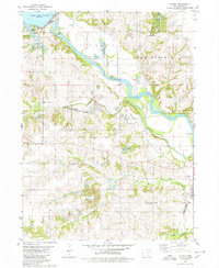
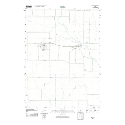
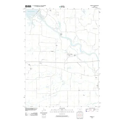
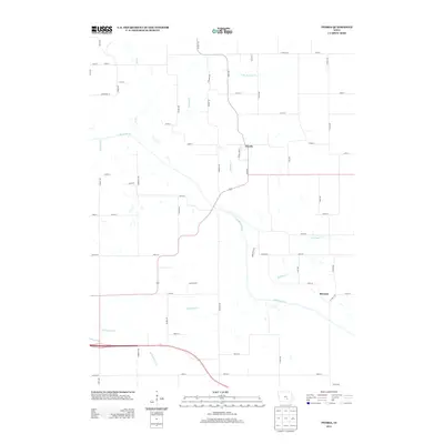
(44)- 1910 Map of Pella, 1958 Print
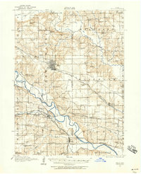 1910 Pella1958 Print · USGSMarion and Mahaska counties at the peak of the rail era show a landscape dotted with country schools and river settlements. Genealogists and historians can locate vanished schoolhouses like Bunker Hill School and trace the paths of the Chicago Rock Island and Pacific through Pella and Leighton.2 unique versions available
 - 1912 Map of Pella
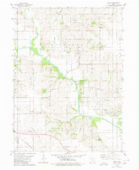
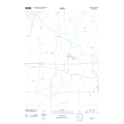
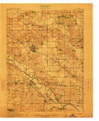 1912 Pella1912 Print · USGSThe river valleys of Marion County come alive in this pre-World War I portrait of a thriving agricultural and rail corridor. Researchers can pinpoint early homesteads near dozens of rural landmarks, including Pella, Salem Church, and the West Amsterdam School.2 unique versions available
 - 1954 Map of Des Moines, 1973 Print
 1954 Des Moines1973 Print · USGSCentral Iowa's evolving landscape is captured here in the early seventies, just as major reservoirs were reshaping the river valleys. Genealogists and historians can trace the rail corridors of the Burlington Northern or locate family roots near Pella, Indianola, and Knoxville.2 unique versions available
 - 1956 Map of Des Moines
 1956 Des Moines1956 Print · USGSCentral Iowa in the mid-fifties shows a landscape defined by bustling rail hubs and deep-rooted agricultural research. Genealogists and researchers can trace the growth of Des Moines and Ames, locate the Sac and Fox Indian Reservation, or study the paths of the Skunk River and South Skunk River.
 - 1957 Map of Des Moines
 1957 Des Moines1957 Print · USGSCentral Iowa's post-war landscape is defined here by the converging rail lines and river valleys that shaped its earliest settlements. Genealogists and historians can trace the paths of the Rock Island Railroad and locate community landmarks in Des Moines, Ames, and Newton.
 - 1969 Map of Des Moines
 1969 Des Moines1969 Print · USGSCentral Iowa's fertile plains and growing capital are captured here during the late sixties, a time of major highway expansion and reservoir construction. Genealogists and researchers can trace rural township boundaries, local cemeteries, and rail lines serving towns like Pella, Grinnell, and Oskaloosa.
 - 1980 Map of Leighton
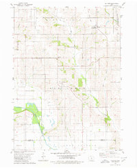
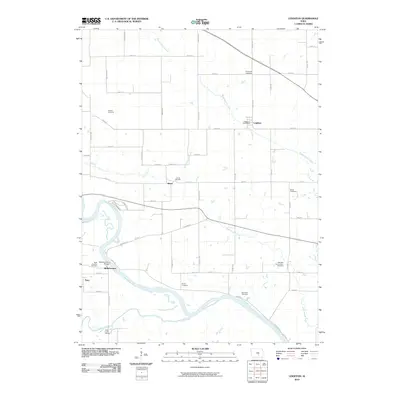
 1980 Leighton1980 Print · USGSMahaska County as it appeared in the late 1970s shows a landscape of river bends and active industrial sites. Researchers can trace the rail line through Leighton or locate family plots at Butler Cem and Sand Ridge Cem.
 - 1980 Map of Sully
 1980 Sully1980 Print · USGSCentral Iowa farmland meets the North Skunk River in the early eighties, centered on the growing communities of Sully and Lynnville. Researchers can locate numerous family burial grounds like Swans Cem and Dairy Grove Cem, along with local landmarks like the Municipal Landing Strip.
 - 1980 Map of Peoria
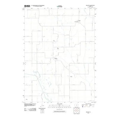
 1980 Peoria1980 Print · USGSMahaska County and Marion County farmlands are captured in the late seventies, showing the transition of rural Iowa townships. Genealogists and historians can trace family roots through landmarks like Appel Cem, the Christian Sch, and the South Skunk River.
 - 1980 Map of Pella
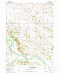
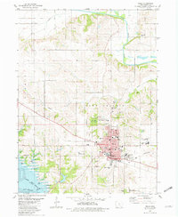 1980 Pella1980 Print · USGSPella and the surrounding Marion County farmlands are captured in the early eighties, showcasing a landscape shaped by Dutch heritage and river geography. Genealogists and historians can trace institutional roots at the Central Univ of Iowa, locate family plots at Oak Wood Cem, or follow the Chicago Rock Island and Pacific rail line.
 - 1980 Map of Killduff
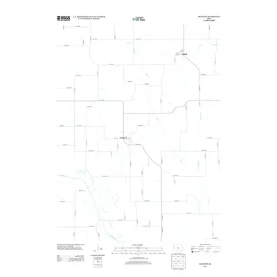
 1980 Killduff1980 Print · USGSJasper County agricultural life and river geography are documented here during the late twentieth century. Genealogists and researchers can trace rural landmarks like St Andrews Ch, Hewitt Cem, and the small community of Galesburg.
 - 1980 Map of Harvey
 1980 Harvey1980 Print · USGSMarion County's river valley is captured here in the late seventies, showing the rail-and-river economy near Harvey. Genealogists can trace family locations through several rural cemeteries like Eureka Cem and Brecke Ridge Cem or the small settlement of Tracy.
 - 1982 Map of Oskaloosa
 1982 Oskaloosa1982 Print · USGSSoutheast Iowa's river valleys and rail hubs are meticulously detailed in the early eighties, showing a landscape of productive farmland and growing municipal centers. Researchers can trace the legacy of small-town life and local industry through features like Union Mills, What Cheer, and the extensive Burlington Northern rail network.
 - 1984 Map of Grinnell, 1985 Print
 1984 Grinnell1985 Print · USGSCentral Iowa's prairie towns and rail corridors are captured in the mid-1980s, showcasing the agricultural grid and protected marshlands. Researchers can trace historic routes along the Chicago and North Western or locate family roots near the Sac and Fox Indian Reservation and Lake Ponderosa.2 unique versions available
 - 2010 Map of Sully, 2010 Print
 2010 Sully2010 Print · USGSCovers Lake Prairie Township, including Sully, Lynnville, and other nearby areas
 - 2010 Map of Pella, 2010 Print
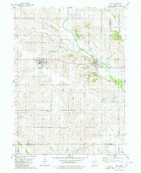
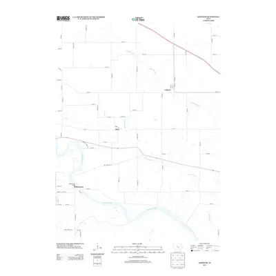
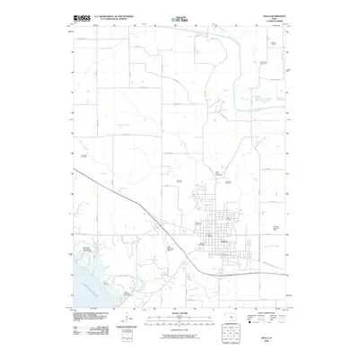 2010 Pella2010 Print · USGSCovers Lake Prairie Township, including Pella, Summit Township, and other nearby areas
 - 2010 Map of Leighton, 2010 Print
 2010 Leighton2010 Print · USGSCovers Lake Prairie Township, including Leighton, Olivet, and other nearby areas
 - 2010 Map of Killduff, 2010 Print
 2010 Killduff2010 Print · USGSCovers Lake Prairie Township, including Richland Township, Summit Township, and other nearby areas
 - 2010 Map of Harvey, 2010 Print
 2010 Harvey2010 Print · USGSCovers Lake Prairie Township, including Harvey, Durham, and other nearby areas
 - 2010 Map of Peoria, 2010 Print
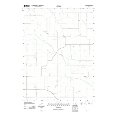 2010 Peoria2010 Print · USGSCovers Lake Prairie Township, including Pella, Bernina, and other nearby areas
 - 2013 Map of Sully, 2013 Print
 2013 Sully2013 Print · USGSCovers Lake Prairie Township, including Sully, Lynnville, and other nearby areas
 - 2013 Map of Leighton, 2013 Print
 2013 Leighton2013 Print · USGSCovers Lake Prairie Township, including Leighton, Olivet, and other nearby areas
 - 2013 Map of Peoria, 2013 Print
 2013 Peoria2013 Print · USGSCovers Lake Prairie Township, including Pella, Bernina, and other nearby areas
 - 2013 Map of Killduff, 2013 Print
 2013 Killduff2013 Print · USGSCovers Lake Prairie Township, including Richland Township, Summit Township, and other nearby areas
 - 2013 Map of Harvey, 2013 Print
 2013 Harvey2013 Print · USGSCovers Lake Prairie Township, including Harvey, Durham, and other nearby areas
Showing maps 1-25 of 44
Top cities near Lake Prairie Township
- Pella historical maps
- Knoxville historical maps
- Monroe historical maps
- Sully historical maps
- Bussey historical maps
- Lynnville historical maps
See more
Top neighborhoods of Lake Prairie Township
Frequently asked questions
- What are the different types of historical maps available for Lake Prairie Township?
- What is the oldest map of Lake Prairie Township?
- Where can I purchase historical maps of Lake Prairie Township for my home or office?
- Where can I download high-res historical maps of Lake Prairie Township?
- Are there historical topographic maps available for Lake Prairie Township?
- Is there historical aerial imagery available for Lake Prairie Township?
- Where are historical maps of Lake Prairie Township sourced from?