Old Maps of Vienna Township, Iowa for Genealogy
Trace your family roots with 28 historic maps of Vienna Township. These high-res maps reveal old neighborhoods, homesites, landmarks, and streets — helping you uncover where your ancestors lived and how the area evolved over time.
- Explore historic neighborhoods: Identify where your relatives may have lived in the 1800s or 1900s.
- Compare maps over time: Trace the changes in streets, buildings, and landmarks for multi-generational research.
- Perfect for genealogy & ancestry research: Used by family historians and researchers to map out lineage and migration.
These maps are an incredible resource for exploring your personal connection to Vienna Township's past.
Vienna Township, IA maps
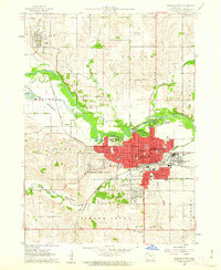
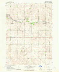
(28)- 1954 Map of Waterloo, 1968 Print
 1954 Waterloo1968 Print · USGSCentral Iowa at the height of its mid-century agricultural and rail boom features the growing hubs of Waterloo and Cedar Falls. Genealogists and researchers can trace the rail corridors of the Chicago Great Western and find local landmarks like Iowa State College and Brushy Ridge.4 unique versions available
 - 1955 Map of Waterloo
 1955 Waterloo1955 Print · USGSCentral Iowa in the mid-fifties presents a dense landscape of rail-connected farming towns and growing river cities. Researchers can trace ancestral roots and old transport routes through Waterloo, Marshalltown, and Ames, while locating rural Cemeteries and local Quarries.2 unique versions available
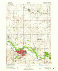
 - 1960 Map of Marshalltown, 1962 Print
 1960 Marshalltown1962 Print · USGSMarshalltown at the dawn of the sixties shows a thriving central Iowa hub defined by its river and rail connections. Genealogists and historians can trace neighborhood developments near Riverside Cemetery or locate family schools like Woodbury Sch and Glick Sch.2 unique versions available
 - 1960 Map of Marshalltown, 1962 Print
 1960 Marshalltown1962 Print · USGSIn the early 1960s, Marshalltown stood as a bustling rail and manufacturing center along the Iowa River. Genealogists can trace family names through several historic sites, including Riverside Cem, Rose Hill Memorial Gardens, and the rural Prairieville Cem.2 unique versions available
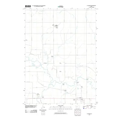
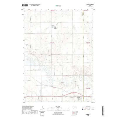
 - 1960 Map of Le Grand, 1962 Print
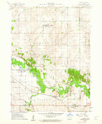 1960 Le Grand1962 Print · USGSMarshall County farm country and the industrial river valley are captured here in the early sixties. Researchers can trace the dual rail lines of the Chicago Great Western and the Chicago and North Western or locate family plots at Rock Valley Cem and Pleasant Hill Cem.2 unique versions available
 - 1960 Map of Conrad West, 1966 Print
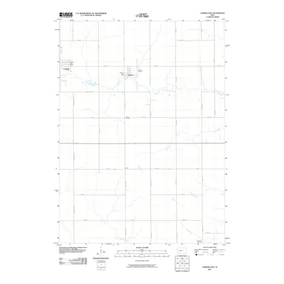
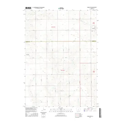
 1960 Conrad West1966 Print · USGSThe Grundy and Marshall county line in the early sixties is defined by the intersection of rail and stream. Genealogists and researchers can trace local land patterns through Conrad, the Prairieville Cem, and the industrial Quarry site.2 unique versions available
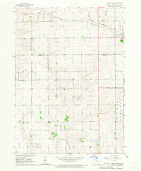
 - 1960 Map of Conrad East, 1966 Print
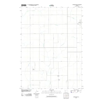
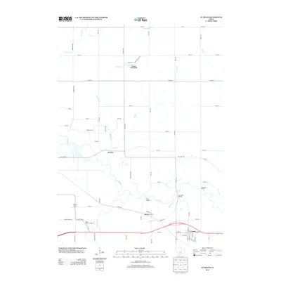
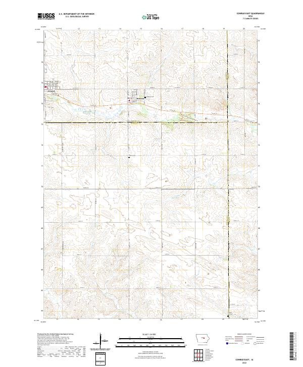
 1960 Conrad East1966 Print · USGSMid-century Marshall County agriculture and commerce meet in this survey of the Grundy and Tama county borders. Genealogists and historians can trace the paths of the Chicago and North Western rail line through Beaman and locate family sites at Vienna Cem or Oakland Cem.
 - 1984 Map of Marshalltown, 1985 Print
 1984 Marshalltown1985 Print · USGSMid-Iowa's agricultural landscape and river corridors come alive in the mid-eighties as the Cedar River connects industrial hubs and small farm towns. Trace the tracks of the CHICAGO AND NORTHWESTERN or locate local landmarks like Union Grove State Park and Cedar Falls Junction.2 unique versions available
 - 2010 Map of Marshalltown, 2010 Print
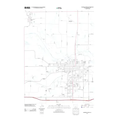
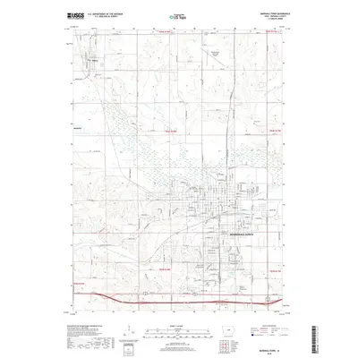
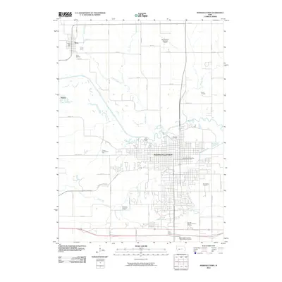 2010 Marshalltown2010 Print · USGSCovers Vienna Township, including Marshalltown, Albion, and other nearby areas
 - 2010 Map of Conrad East, 2010 Print
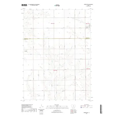
 2010 Conrad East2010 Print · USGSCovers Vienna Township, including Conrad, Beaman, and other nearby areas
 - 2010 Map of Conrad West, 2010 Print
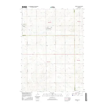
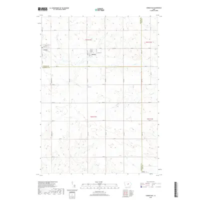
 2010 Conrad West2010 Print · USGSCovers Vienna Township, including Conrad, Liscomb, and other nearby areas
 - 2010 Map of Le Grand, 2010 Print
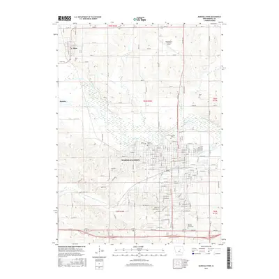
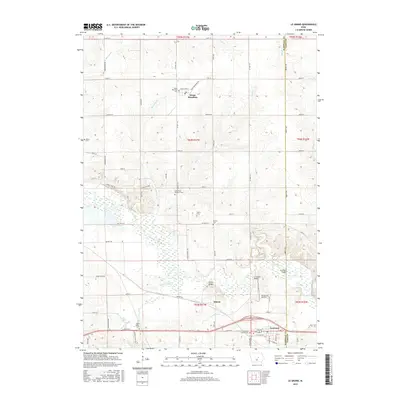
 2010 Le Grand2010 Print · USGSCovers Vienna Township, including Marshalltown, Le Grand, and other nearby areas
 - 2013 Map of Le Grand, 2013 Print
 2013 Le Grand2013 Print · USGSCovers Vienna Township, including Marshalltown, Le Grand, and other nearby areas
 - 2013 Map of Conrad East, 2013 Print
 2013 Conrad East2013 Print · USGSCovers Vienna Township, including Conrad, Beaman, and other nearby areas
 - 2013 Map of Conrad West, 2013 Print
 2013 Conrad West2013 Print · USGSCovers Vienna Township, including Conrad, Liscomb, and other nearby areas
 - 2013 Map of Marshalltown, 2013 Print
 2013 Marshalltown2013 Print · USGSCovers Vienna Township, including Marshalltown, Albion, and other nearby areas
 - 2015 Map of Marshalltown, 2015 Print
 2015 Marshalltown2015 Print · USGSCovers Vienna Township, including Marshalltown, Albion, and other nearby areas
 - 2015 Map of Conrad West, 2015 Print
 2015 Conrad West2015 Print · USGSCovers Vienna Township, including Conrad, Liscomb, and other nearby areas
 - 2015 Map of Conrad East, 2015 Print
 2015 Conrad East2015 Print · USGSCovers Vienna Township, including Conrad, Beaman, and other nearby areas
 - 2015 Map of Le Grand, 2015 Print
 2015 Le Grand2015 Print · USGSCovers Vienna Township, including Marshalltown, Le Grand, and other nearby areas
 - 2018 Map of Conrad East, 2018 Print
 2018 Conrad East2018 Print · USGSCovers Vienna Township, including Conrad, Beaman, and other nearby areas
 - 2018 Map of Conrad West, 2018 Print
 2018 Conrad West2018 Print · USGSCovers Vienna Township, including Conrad, Liscomb, and other nearby areas
 - 2018 Map of Marshalltown, 2018 Print
 2018 Marshalltown2018 Print · USGSCovers Vienna Township, including Marshalltown, Albion, and other nearby areas
 - 2018 Map of Le Grand, 2018 Print
 2018 Le Grand2018 Print · USGSCovers Vienna Township, including Marshalltown, Le Grand, and other nearby areas
 - 2022 Map of Conrad East, 2022 Print
 2022 Conrad East2022 Print · USGSThe borderlands of Grundy, Marshall, and Tama Counties come into focus in the early 2020s, centered on the rural communities of Beaman and Conrad. Local historians can trace family roots at Oakland Cemetery and follow the recreational paths of the Comet Trail.
Showing maps 1-25 of 28
Top cities near Vienna Township
- Marshalltown historical maps
- Grundy Center historical maps
- Reinbeck historical maps
- Conrad historical maps
- Le Grand historical maps
- Gladbrook historical maps
See more
Frequently asked questions
- What are the different types of historical maps available for Vienna Township?
- What is the oldest map of Vienna Township?
- Where can I purchase historical maps of Vienna Township for my home or office?
- Where can I download high-res historical maps of Vienna Township?
- Are there historical topographic maps available for Vienna Township?
- Is there historical aerial imagery available for Vienna Township?
- Where are historical maps of Vienna Township sourced from?