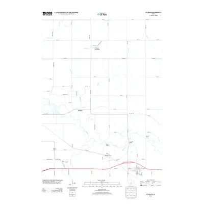
2013 Map of Le Grand
USGS Topo · Published 2013About this map
The Iowa River meanders across the landscape of central Iowa, defining the geography of the Le Grand and Green Mountain area. The river's winding path is a central corridor for local activity, bridged at key points such as Quarry Bridge and Le Grand Bridge. This 2013 survey illustrates a region defined by agricultural grid roads and small, established clusters of settlement. Small communities like Quarry and Rockton are situated along the river and creek systems, including Davisons Cr and Nickolson Cr.
Find a feature on this map
62 named features on this map. Tap any name to fly to it.
Don’t see what you’re looking for? This feature index may not catch every label — zoom into the map to look around manually.
Map Details
Editions of this 2013 Le Grand Map
This is the sole edition of this map. No revisions or reprints were ever made.
Other maps of this area

1954 · Waterloo
USGS Topo · 1:250,000

1954 · Des Moines
USGS Topo · 1:250,000

1955 · Waterloo
USGS Topo · 1:250,000

1956 · Des Moines
USGS Topo · 1:250,000

1957 · Des Moines
USGS Topo · 1:250,000

1960 · Marshalltown
USGS Topo · 1:24,000

1960 · Marshalltown
USGS Topo · 1:62,500

1960 · Le Grand
USGS Topo · 1:24,000

1960 · Conrad West
USGS Topo · 1:24,000

1960 · Conrad East
USGS Topo · 1:24,000