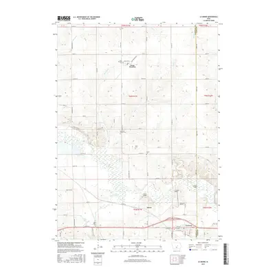
2015 Map of Le Grand
USGS Topo · Published 2015About this map
The Iowa River meanders through this agricultural landscape on the border of Marshall and Tama Counties, anchoring the small settlements of Le Grand, Quarry, and Green Mountain. This modern survey documents a rural environment shaped by several small creeks, including Timber Creek, Burnett Cr, and Davisons Cr. The distribution of burial grounds across the townships is particularly dense, offering a rich resource for genealogical research with sites such as the Iowa River Brethren Cem, Le Grand Friends Cem, and Quinn Cem. Infrastructure remains tied to the river's path, evidenced by the Le Grand Bridge and Quarry Bridge. While the grid of section roads like Garwin RD and Quarry RD defines the farming parcels, the preservation of numerous named cemeteries like Rock Valley Cem and Bowles Cem provides a clear link to the area's early family history and congregational life.
Find a feature on this map
52 named features on this map. Tap any name to fly to it.
Don’t see what you’re looking for? This feature index may not catch every label — zoom into the map to look around manually.
Map Details
Editions of this 2015 Le Grand Map
This is the sole edition of this map. No revisions or reprints were ever made.
Other maps of this area

1954 · Waterloo
USGS Topo · 1:250,000

1954 · Des Moines
USGS Topo · 1:250,000

1955 · Waterloo
USGS Topo · 1:250,000

1956 · Des Moines
USGS Topo · 1:250,000

1957 · Des Moines
USGS Topo · 1:250,000

1960 · Marshalltown
USGS Topo · 1:24,000

1960 · Marshalltown
USGS Topo · 1:62,500

1960 · Le Grand
USGS Topo · 1:24,000

1960 · Conrad West
USGS Topo · 1:24,000

1960 · Conrad East
USGS Topo · 1:24,000