Old Maps of Whiting, Iowa for Hiking & Exploration
Hike through history with 16 historic maps of Whiting. Explore old trails, ghost towns, and forgotten backroads — perfect for outdoor adventurers and local explorers.
- Rediscover forgotten places: Map out old mining camps, roads, and footpaths that no longer exist on modern maps.
- Layer with modern tools: Combine with LiDAR or satellite views to plan hikes through historical terrain.
- Made for exploration: Popular among hikers, overlanders, and local history lovers.
Use these maps to find adventure and explore the hidden past of Whiting.
Whiting, IA maps
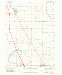
(16)- 1955 Map of Sioux City, 1959 Print
 1955 Sioux City1959 Print · USGSThe Missouri River valley in the mid-fifties is captured here during a time of major engineering and social transition. Genealogists and historians can trace the foundations of Gavins Point Dam, tribal boundaries on the Santee Sioux Indian Reservation, and local landmarks like the Norfolk State Hospital.4 unique versions available
 - 1958 Map of Sioux City
 1958 Sioux City1958 Print · USGSThe Missouri River valley in the late fifties was a bustling intersection of tribal lands, rail corridors, and river towns. Genealogists can trace family roots through specific rural sites like Daisy Valley School, St Johns Church and School, and Yankton State Hospital.
 - 1959 Map of Sioux City
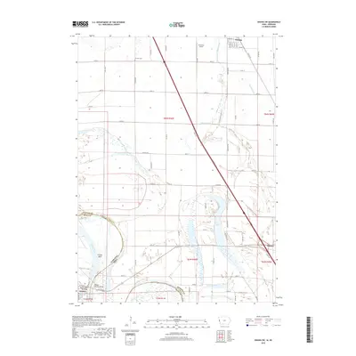
 1959 Sioux City1959 Print · USGSThe tri-state region surrounding the Missouri River is captured here in the late fifties, showing the convergence of Nebraska, South Dakota, and Iowa. Researchers can trace rural lineages through numerous country schoolhouses like Cemetery School and the many numbered Washington School districts.
 - 1969 Map of Sloan, 1971 Print
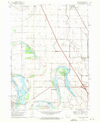
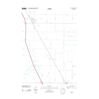
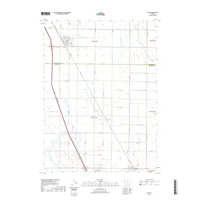
 1969 Sloan1971 Print · USGSNear the Woodbury and Monona county line in the late sixties, the railroad towns of Sloan and Whiting centered this agricultural corridor. Researchers can locate family burial plots at Hite Cem and Clark Cem or trace the early paths of the Chicago and North Western line.
 - 1969 Map of Onawa SW, 1971 Print
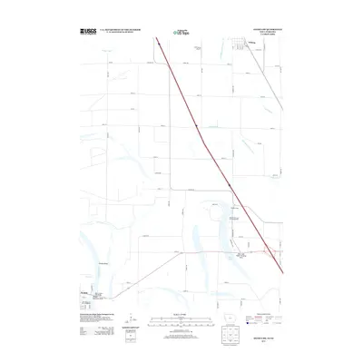
 1969 Onawa SW1971 Print · USGSThe Missouri River bottoms at the close of the 1960s reveal a landscape of managed wetlands and vital river crossings. Researchers can trace the Chicago and North Western rail line near Whiting or locate Harrison Cem and Nebowa Camp.
 - 1986 Map of Sioux City South
 1986 Sioux City South1986 Print · USGSThe tri-state borderlands of Iowa, Nebraska, and South Dakota come into focus in the mid-1980s as a landscape of tribal lands and rail corridors. Researchers can trace the extensive boundaries of the Winnebago Indian Reservation and find local landmarks like Morningside College and Martin Field.2 unique versions available
 - 2010 Map of Sloan, 2010 Print
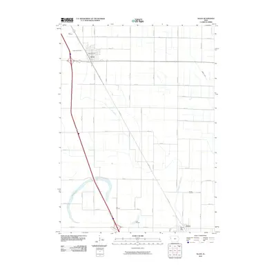 2010 Sloan2010 Print · USGSCovers Whiting, including Sloan, Woodbury County, and other nearby areas
 - 2010 Map of Onawa SW, 2010 Print
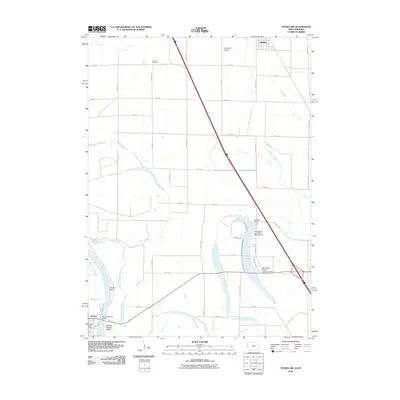 2010 Onawa SW2010 Print · USGSCovers Whiting, including Onawa, Decatur, and other nearby areas
 - 2013 Map of Sloan, 2013 Print
 2013 Sloan2013 Print · USGSCovers Whiting, including Sloan, Woodbury County, and other nearby areas
 - 2013 Map of Onawa SW, 2013 Print
 2013 Onawa SW2013 Print · USGSCovers Whiting, including Onawa, Decatur, and other nearby areas
 - 2015 Map of Onawa SW, 2015 Print
 2015 Onawa SW2015 Print · USGSCovers Whiting, including Onawa, Decatur, and other nearby areas
 - 2015 Map of Sloan, 2015 Print
 2015 Sloan2015 Print · USGSCovers Whiting, including Sloan, Woodbury County, and other nearby areas
 - 2018 Map of Onawa SW, 2018 Print
 2018 Onawa SW2018 Print · USGSCovers Whiting, including Onawa, Decatur, and other nearby areas
 - 2018 Map of Sloan, 2018 Print
 2018 Sloan2018 Print · USGSCovers Whiting, including Sloan, Woodbury County, and other nearby areas
 - 2022 Map of Sloan, 2022 Print
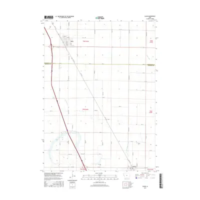
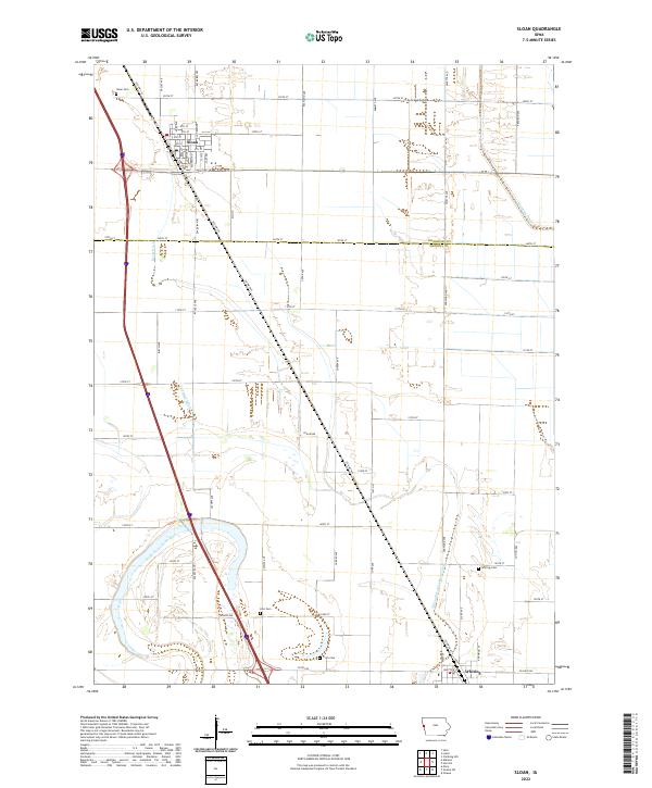 2022 Sloan2022 Print · USGSThe township of Sloan and its surrounding prairie landscapes are captured here in the early twenty-first century. Researchers can trace local heritage through sites like Sloan Cem and Hite Cem or the intricate drainage of Boyer Ditch.
 - 2022 Map of Onawa SW, 2022 Print
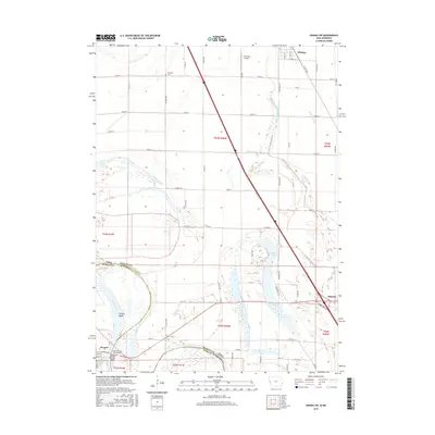
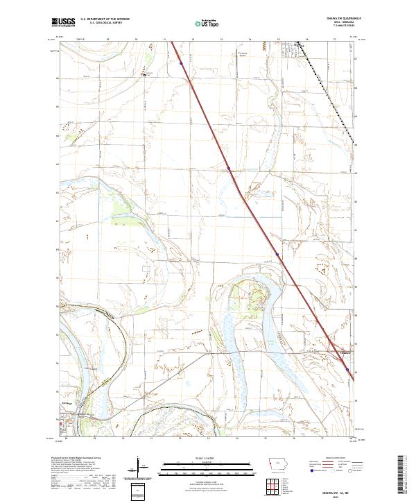 2022 Onawa SW2022 Print · USGSThe Missouri River bottoms near the Iowa-Nebraska border are shown here in the early twenty-first century, highlighting a landscape defined by water and agriculture. Researchers can trace the river's path through Tieville Bend, locate the Harrison Cem, and explore the town layouts of Whiting and Onawa.
End of results
Showing maps 1-16 of 16
Top cities near Whiting
- Onawa historical maps
- Sloan historical maps
- Decatur historical maps
- Salix historical maps
- Hornick historical maps
- Blencoe historical maps
See more
Frequently asked questions
- What are the different types of historical maps available for Whiting?
- What is the oldest map of Whiting?
- Where can I purchase historical maps of Whiting for my home or office?
- Where can I download high-res historical maps of Whiting?
- Are there historical topographic maps available for Whiting?
- Is there historical aerial imagery available for Whiting?
- Where are historical maps of Whiting sourced from?