Old Maps of Graettinger, Iowa for Genealogy
Trace your family roots with 15 historic maps of Graettinger. These high-res maps reveal old neighborhoods, homesites, landmarks, and streets — helping you uncover where your ancestors lived and how the area evolved over time.
- Explore historic neighborhoods: Identify where your relatives may have lived in the 1800s or 1900s.
- Compare maps over time: Trace the changes in streets, buildings, and landmarks for multi-generational research.
- Perfect for genealogy & ancestry research: Used by family historians and researchers to map out lineage and migration.
These maps are an incredible resource for exploring your personal connection to Graettinger's past.
Graettinger, IA maps
(15)- 1954 Map of Fairmont, 1967 Print
 1954 Fairmont1967 Print · USGSThe prairie landscape of southern Minnesota and northern Iowa comes alive in this mid-century survey of the Coteau des Prairies. Genealogists and historians can trace the rail-connected growth of Fairmont and Blue Earth or locate family roots near St Kilian Ch and Union Slough National Wildlife Refuge.3 unique versions available
 - 1958 Map of Fairmont
 1958 Fairmont1958 Print · USGSThe borderlands of southern Minnesota and northern Iowa come alive in the mid-1950s, showing a landscape defined by glacial lakes and rail-line commerce. Researchers can trace historic landmarks like Lakeside Laboratory, Gridley Station, and the Bancroft Wildlife Refuge across the prairie.
 - 1972 Map of Graettinger West, 1974 Print
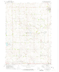 1972 Graettinger West1974 Print · USGSPalo Alto County was a land of wetlands and rail lines in the early seventies, centered on the town of Graettinger. Researchers can trace the heritage of local townships through landmarks like Lost Island Ch, Highland Cem, and the rural junction at Crippin Corners.
 - 1980 Map of Graettinger East
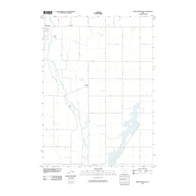
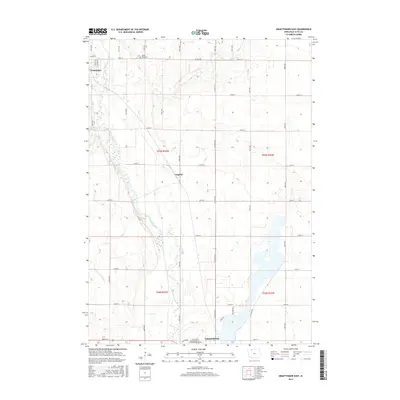
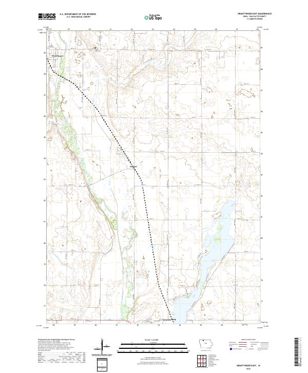
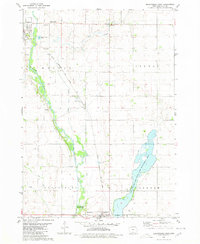 1980 Graettinger East1980 Print · USGSPalo Alto County in the early eighties shows a transition from traditional rail-side farming to modern conservation and education. Genealogists and historians can trace the Chicago Rock Island and Pacific tracks past Osgood and Valley View Cem.
 - 1985 Map of Estherville
 1985 Estherville1985 Print · USGSNorthern Iowa in the mid-eighties was a landscape of grid-patterned agriculture and vast marshland conservation. Genealogists can locate rural landmarks like Oak Hill Cemetery and Fourmile Lake School, or trace the rail lines of the Chicago and North Western.2 unique versions available
 - 2010 Map of Graettinger West, 2010 Print
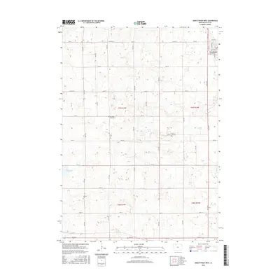
 2010 Graettinger West2010 Print · USGSCovers Graettinger, including Fallow, Palo Alto County, and other nearby areas
 - 2010 Map of Graettinger East, 2010 Print
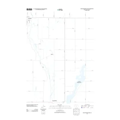
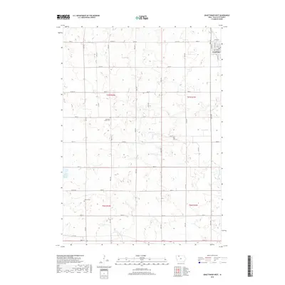
 2010 Graettinger East2010 Print · USGSCovers Graettinger, including Emmetsburg, Osgood, and other nearby areas
 - 2013 Map of Graettinger West, 2013 Print
 2013 Graettinger West2013 Print · USGSCovers Graettinger, including Fallow, Palo Alto County, and other nearby areas
 - 2013 Map of Graettinger East, 2013 Print
 2013 Graettinger East2013 Print · USGSCovers Graettinger, including Emmetsburg, Osgood, and other nearby areas
 - 2015 Map of Graettinger East, 2015 Print
 2015 Graettinger East2015 Print · USGSCovers Graettinger, including Emmetsburg, Osgood, and other nearby areas
 - 2015 Map of Graettinger West, 2015 Print
 2015 Graettinger West2015 Print · USGSCovers Graettinger, including Fallow, Palo Alto County, and other nearby areas
 - 2018 Map of Graettinger West, 2018 Print
 2018 Graettinger West2018 Print · USGSCovers Graettinger, including Fallow, Palo Alto County, and other nearby areas
 - 2018 Map of Graettinger East, 2018 Print
 2018 Graettinger East2018 Print · USGSCovers Graettinger, including Emmetsburg, Osgood, and other nearby areas
 - 2022 Map of Graettinger East, 2022 Print
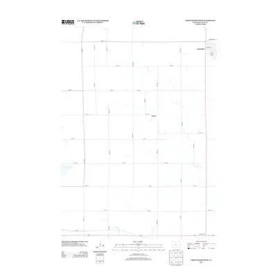
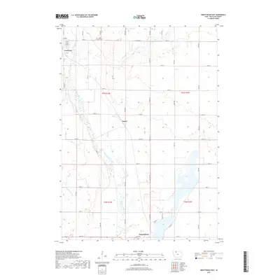
 2022 Graettinger East2022 Print · USGSNorthwest Iowa's prairie landscape and the Des Moines River valley appear in high detail during this early 21st-century survey. Genealogists and local historians can trace the sections around Osgood, the Valley View Cem, and the outskirts of Emmetsburg.
 - 2022 Map of Graettinger West, 2022 Print
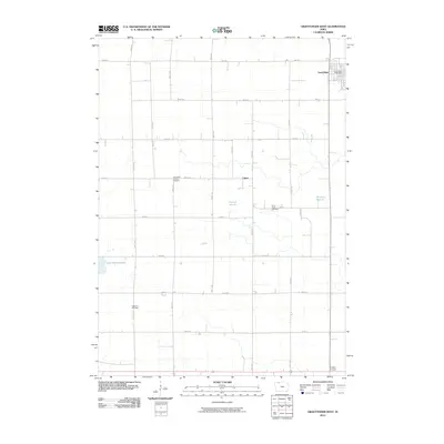
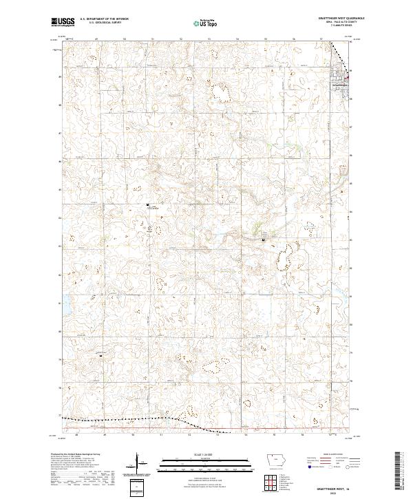 2022 Graettinger West2022 Print · USGSPalo Alto County farmland in the early 2020s shows a landscape of precision agriculture and historic roots. Genealogists can locate Highland Cem and Saint Pauls Cem, or trace the outskirts of Graettinger.
End of results
Showing maps 1-15 of 15
Top cities near Graettinger
- Estherville historical maps
- Emmetsburg historical maps
- Ruthven historical maps
- Terril historical maps
- Wallingford historical maps
- Ayrshire historical maps
See more
Frequently asked questions
- What are the different types of historical maps available for Graettinger?
- What is the oldest map of Graettinger?
- Where can I purchase historical maps of Graettinger for my home or office?
- Where can I download high-res historical maps of Graettinger?
- Are there historical topographic maps available for Graettinger?
- Is there historical aerial imagery available for Graettinger?
- Where are historical maps of Graettinger sourced from?