2000s (21st Century) Maps of Plover, Iowa
Explore 20 historic maps of Plover from the 2000s (21st Century). These maps offer a rare glimpse into what life looked like during the 2000s — showing old roads, neighborhoods, homes, and landmarks that have changed or disappeared over time.
Whether you're researching your family's past, planning a metal detecting trip, or studying how Plover's landscape evolved across the 2000s, these high-resolution maps are a powerful tool for exploring the history of this region.
- Focus on a specific era: All maps on this page are from the 2000s, giving you a focused view of this time period.
- See what’s changed: Compare century-old streets, trails, and buildings to today's modern landscape using overlays and satellite layers.
- Research with precision: Use these maps for genealogy, historical research, land use analysis, or educational projects.
- View, download, or print: Maps are fully viewable online in high resolution, and can be downloaded or printed for your own records.
Start exploring Plover's history through authentic maps from the 2000s. This is your window into the past.
Plover, IA maps
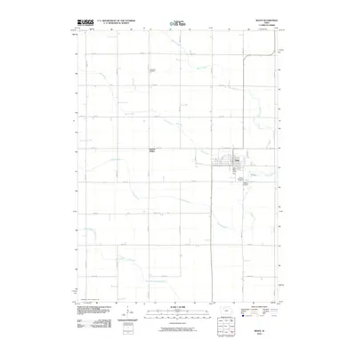
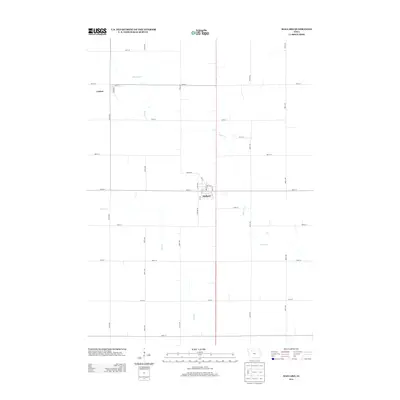
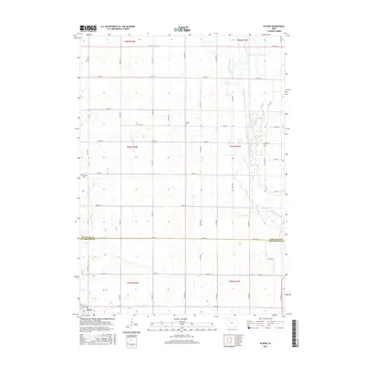
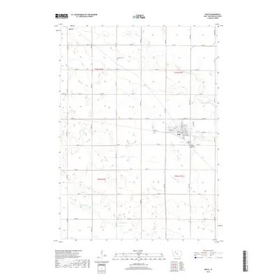
(20)- 2010 Map of Mallard, 2010 Print
 2010 Mallard2010 Print · USGSCovers Plover, including Mallard, Curlew, and other nearby areas
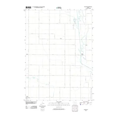
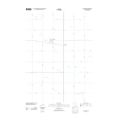
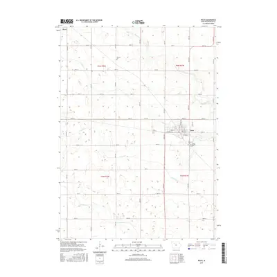
 - 2010 Map of Havelock, 2010 Print
 2010 Havelock2010 Print · USGSCovers Plover, including Havelock, Ridotto, and other nearby areas
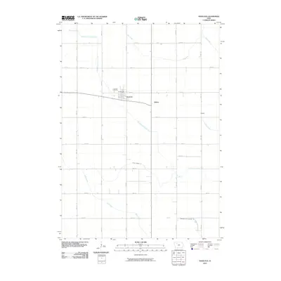
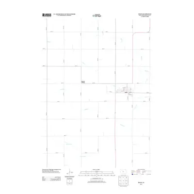
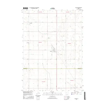
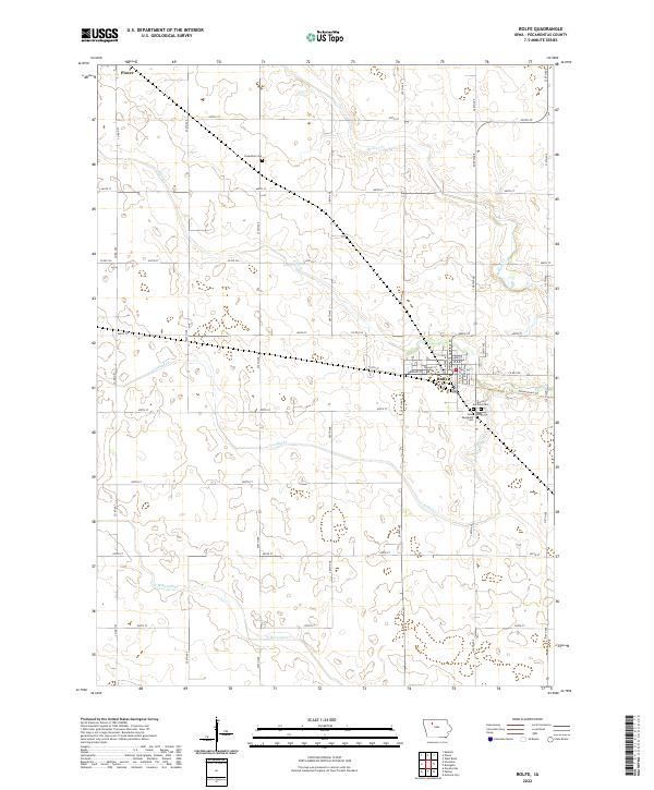
 - 2010 Map of Rolfe, 2010 Print
 2010 Rolfe2010 Print · USGSCovers Plover, including Rolfe, Rubens Siding, and other nearby areas
 - 2010 Map of Plover, 2010 Print
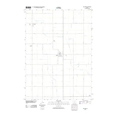
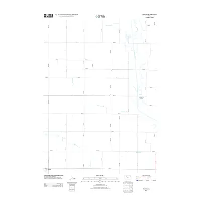
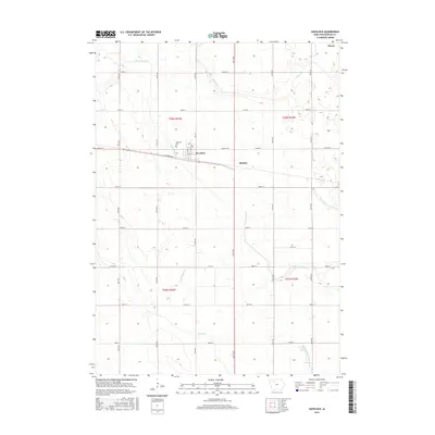
 2010 Plover2010 Print · USGSCovers Plover, including Palo Alto County, Pocahontas County, and other nearby areas
 - 2013 Map of Plover, 2013 Print
 2013 Plover2013 Print · USGSCovers Plover, including Palo Alto County, Pocahontas County, and other nearby areas
 - 2013 Map of Mallard, 2013 Print
 2013 Mallard2013 Print · USGSCovers Plover, including Mallard, Curlew, and other nearby areas
 - 2013 Map of Rolfe, 2013 Print
 2013 Rolfe2013 Print · USGSCovers Plover, including Rolfe, Rubens Siding, and other nearby areas
 - 2013 Map of Havelock, 2013 Print
 2013 Havelock2013 Print · USGSCovers Plover, including Havelock, Ridotto, and other nearby areas
 - 2015 Map of Havelock, 2015 Print
 2015 Havelock2015 Print · USGSCovers Plover, including Havelock, Ridotto, and other nearby areas
 - 2015 Map of Plover, 2015 Print
 2015 Plover2015 Print · USGSCovers Plover, including Palo Alto County, Pocahontas County, and other nearby areas
 - 2015 Map of Mallard, 2015 Print
 2015 Mallard2015 Print · USGSCovers Plover, including Mallard, Curlew, and other nearby areas
 - 2015 Map of Rolfe, 2015 Print
 2015 Rolfe2015 Print · USGSCovers Plover, including Rolfe, Rubens Siding, and other nearby areas
 - 2018 Map of Rolfe, 2018 Print
 2018 Rolfe2018 Print · USGSCovers Plover, including Rolfe, Rubens Siding, and other nearby areas
 - 2018 Map of Plover, 2018 Print
 2018 Plover2018 Print · USGSCovers Plover, including Palo Alto County, Pocahontas County, and other nearby areas
 - 2018 Map of Havelock, 2018 Print
 2018 Havelock2018 Print · USGSCovers Plover, including Havelock, Ridotto, and other nearby areas
 - 2018 Map of Mallard, 2018 Print
 2018 Mallard2018 Print · USGSCovers Plover, including Mallard, Curlew, and other nearby areas
 - 2022 Map of Rolfe, 2022 Print
 2022 Rolfe2022 Print · USGSAgricultural life in Pocahontas County during the early twenty-first century is anchored by the community of Rolfe. Researchers can locate family plots at Powhatan Cem or trace the regional drainage of Crooked Cr and the Three Rivers Trl.
 - 2022 Map of Havelock, 2022 Print
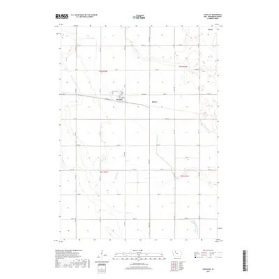
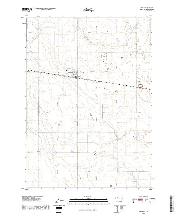 2022 Havelock2022 Print · USGSHavelock and its surrounding Pocahontas County farmland are documented in this recent survey of northwest Iowa's agricultural heartland. Genealogists can locate Washington Cem while historians trace the water routes of Lizard Cr and the rural site of Ridotto.
 - 2022 Map of Mallard, 2022 Print
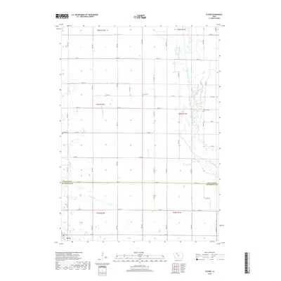
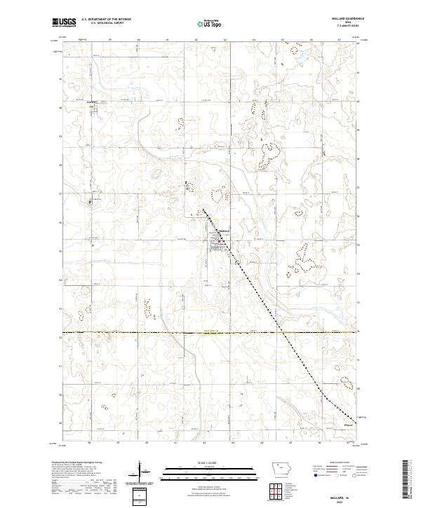 2022 Mallard2022 Print · USGSThe rural border of Palo Alto and Pocahontas counties comes alive in this study of Iowa's prairie townships. Genealogists and local historians can trace family locations near Mallard, Curlew, and landmarks like Saint Marys Cem and Rush Lake Cem.
 - 2022 Map of Plover, 2022 Print
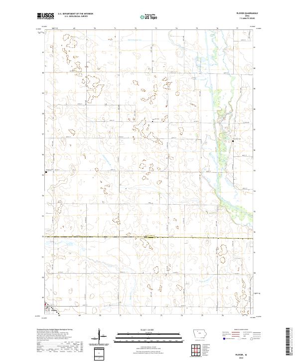 2022 Plover2022 Print · USGSPlover and the surrounding Iowa prairie are documented here in the early twenty-first century, showing a landscape defined by drainage and agriculture. Researchers can trace rural lineages at Lincoln Cem, Riverside Cem, and Ellington Cem.
End of results
Showing maps 1-20 of 20
Top cities near Plover
- Emmetsburg historical maps
- Pocahontas historical maps
- Laurens historical maps
- West Bend historical maps
- Rolfe historical maps
- Whittemore historical maps
See more
Frequently asked questions
- What are the different types of historical maps available for Plover?
- What is the oldest map of Plover?
- Where can I purchase historical maps of Plover for my home or office?
- Where can I download high-res historical maps of Plover?
- Are there historical topographic maps available for Plover?
- Is there historical aerial imagery available for Plover?
- Where are historical maps of Plover sourced from?