Old Maps of Plover, Iowa for Metal Detecting
Plan your next treasure hunt with 28 historic maps of Plover. Find old homesites, ghost towns, trails, and gathering spots that may be lost to time — perfect for identifying promising metal detecting locations.
- Locate forgotten sites: Uncover places like long-lost settlements, abandoned rail lines, or gathering spots.
- Plan better hunts: Use map overlays combined with LiDAR or satellite views to narrow in on historically rich areas.
- Made for detectorists: Thousands of hobbyists use these maps to discover relics, coins, and hidden history.
Use these historic maps to boost your research and find new opportunities beneath the surface of Plover.
Plover, IA maps
(28)- 1954 Map of Fort Dodge, 1968 Print
 1954 Fort Dodge1968 Print · USGSNorthwest Iowa is shown here during a period of steady industrial and rail activity in the mid-fifties. Researchers can trace the extensive rail lines connecting Fort Dodge to mining and manufacturing sites like Gypsum and Industry Station.3 unique versions available
 - 1957 Map of Fort Dodge
 1957 Fort Dodge1957 Print · USGSWest-central Iowa thrived as a network of rail-linked agricultural hubs and river towns during the mid-fifties. Researchers can trace the development of the Des Moines River valley and locate historic landmarks in Fort Dodge, Storm Lake, and Lehigh.
 - 1958 Map of Fort Dodge
 1958 Fort Dodge1958 Print · USGSWestern Iowa in the mid-1950s reveals a productive landscape of river-valley industry and prairie agricultural hubs. Researchers can trace the development of the Des Moines River corridor through Fort Dodge and locate vanished local landmarks near Coalville or Storm Lake.
 - 1980 Map of Rolfe
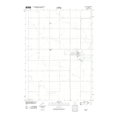
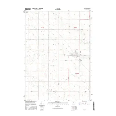
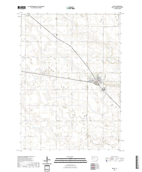
 1980 Rolfe1980 Print · USGSIowa's prairie townships and the rail-oriented town of Rolfe are captured here in the 1980s. Genealogists can locate family sites at Powhatan Cem and Clinton-Garfield Cem, while tracing the CHICAGO AND NORTH WESTERN line.
 - 1980 Map of Havelock
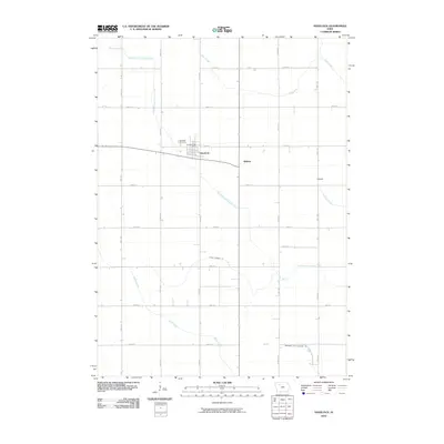
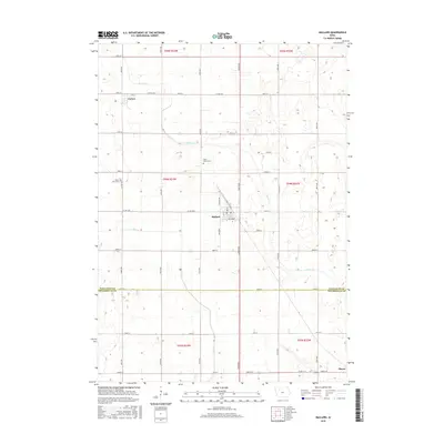
 1980 Havelock1980 Print · USGSPocahontas County at the start of the 1980s reveals a precision-mapped landscape of rail junctions and prairie drainage. Genealogists and rail historians can trace the paths of the Chicago and North Western and the town's local Cemetery and Park.
 - 1980 Map of Mallard
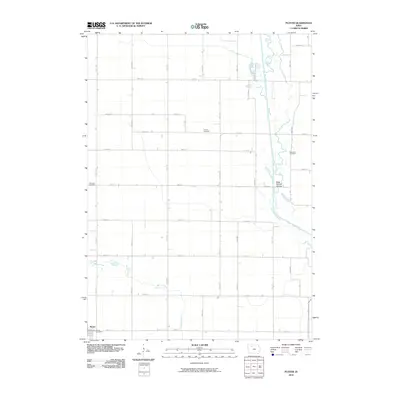
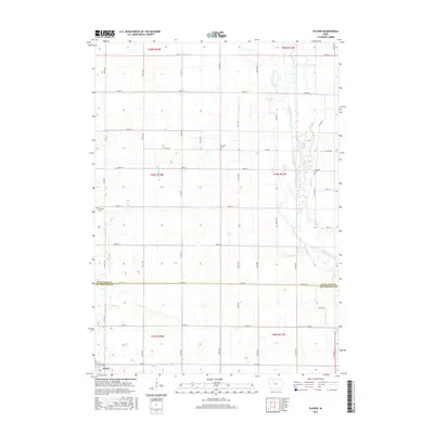
 1980 Mallard1980 Print · USGSNorthwest Iowa's farm country is shown here during the late twentieth century, centered on the railroad hub of Mallard. Genealogists and historians can trace the local landscape through landmarks like St Marys Cem and the Chicago and North Western rail line.
 - 1980 Map of Plover
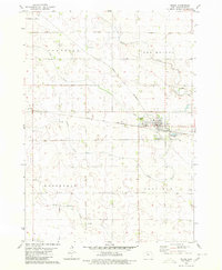
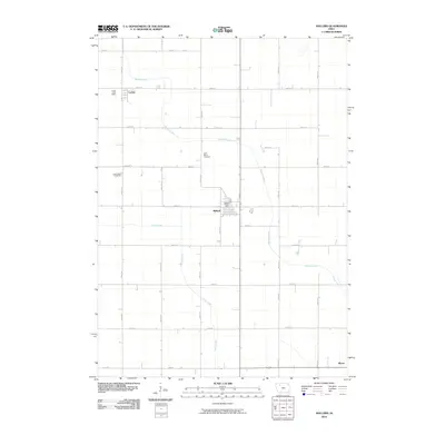
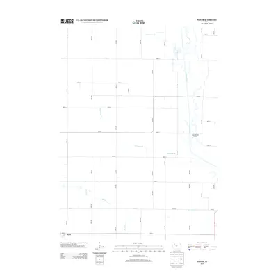
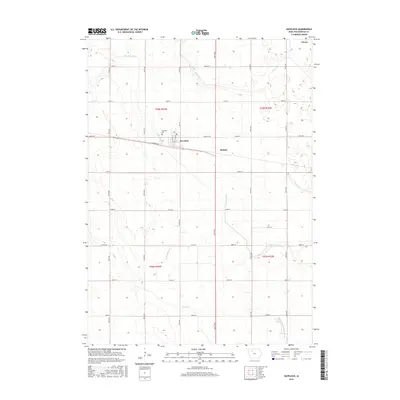
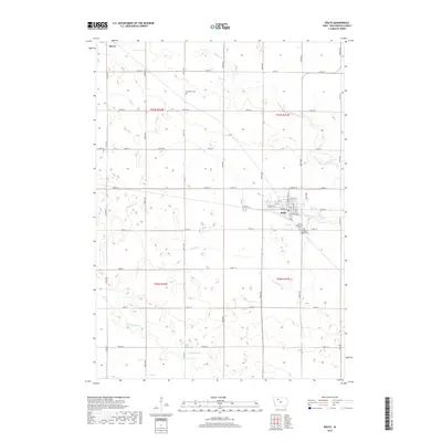
 1980 Plover1980 Print · USGSThe rural agricultural landscapes of Pocahontas and Palo Alto Counties are captured here in the late twentieth century. Genealogists and local historians can trace property lines and find quiet landmarks like Lincoln Cem, Ellington Cem, and the C & N W rail line.
 - 1984 Map of Humboldt, 1985 Print
 1984 Humboldt1985 Print · USGSNorth Central Iowa in the mid-eighties shows a deeply integrated landscape of agricultural drainage and rail-connected settlements. Trace the rural layout of the era via the Chicago and North Western line, Rush Lake, and Lizard Lake County Park.2 unique versions available
 - 2010 Map of Mallard, 2010 Print
 2010 Mallard2010 Print · USGSCovers Plover, including Mallard, Curlew, and other nearby areas
 - 2010 Map of Havelock, 2010 Print
 2010 Havelock2010 Print · USGSCovers Plover, including Havelock, Ridotto, and other nearby areas
 - 2010 Map of Rolfe, 2010 Print
 2010 Rolfe2010 Print · USGSCovers Plover, including Rolfe, Rubens Siding, and other nearby areas
 - 2010 Map of Plover, 2010 Print
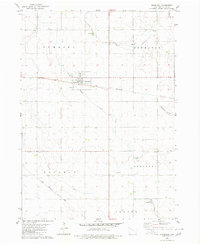
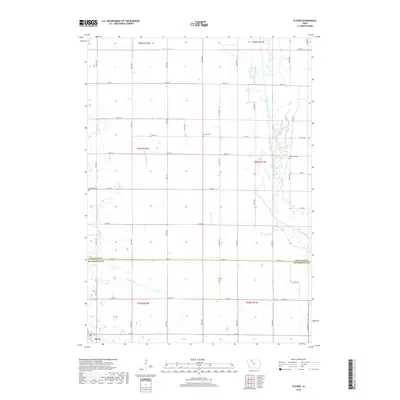
 2010 Plover2010 Print · USGSCovers Plover, including Palo Alto County, Pocahontas County, and other nearby areas
 - 2013 Map of Plover, 2013 Print
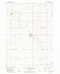
 2013 Plover2013 Print · USGSCovers Plover, including Palo Alto County, Pocahontas County, and other nearby areas
 - 2013 Map of Mallard, 2013 Print
 2013 Mallard2013 Print · USGSCovers Plover, including Mallard, Curlew, and other nearby areas
 - 2013 Map of Rolfe, 2013 Print
 2013 Rolfe2013 Print · USGSCovers Plover, including Rolfe, Rubens Siding, and other nearby areas
 - 2013 Map of Havelock, 2013 Print
 2013 Havelock2013 Print · USGSCovers Plover, including Havelock, Ridotto, and other nearby areas
 - 2015 Map of Havelock, 2015 Print
 2015 Havelock2015 Print · USGSCovers Plover, including Havelock, Ridotto, and other nearby areas
 - 2015 Map of Plover, 2015 Print
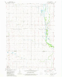
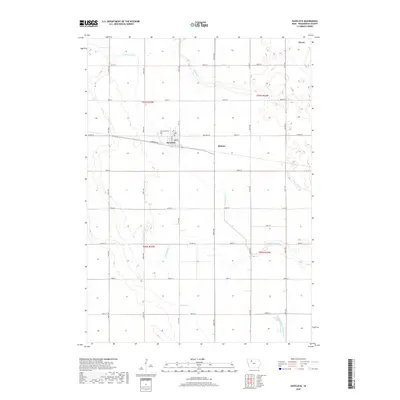
 2015 Plover2015 Print · USGSCovers Plover, including Palo Alto County, Pocahontas County, and other nearby areas
 - 2015 Map of Mallard, 2015 Print
 2015 Mallard2015 Print · USGSCovers Plover, including Mallard, Curlew, and other nearby areas
 - 2015 Map of Rolfe, 2015 Print
 2015 Rolfe2015 Print · USGSCovers Plover, including Rolfe, Rubens Siding, and other nearby areas
 - 2018 Map of Rolfe, 2018 Print
 2018 Rolfe2018 Print · USGSCovers Plover, including Rolfe, Rubens Siding, and other nearby areas
 - 2018 Map of Plover, 2018 Print
 2018 Plover2018 Print · USGSCovers Plover, including Palo Alto County, Pocahontas County, and other nearby areas
 - 2018 Map of Havelock, 2018 Print
 2018 Havelock2018 Print · USGSCovers Plover, including Havelock, Ridotto, and other nearby areas
 - 2018 Map of Mallard, 2018 Print
 2018 Mallard2018 Print · USGSCovers Plover, including Mallard, Curlew, and other nearby areas
 - 2022 Map of Rolfe, 2022 Print
 2022 Rolfe2022 Print · USGSAgricultural life in Pocahontas County during the early twenty-first century is anchored by the community of Rolfe. Researchers can locate family plots at Powhatan Cem or trace the regional drainage of Crooked Cr and the Three Rivers Trl.
Showing maps 1-25 of 28
Top cities near Plover
- Emmetsburg historical maps
- Pocahontas historical maps
- Laurens historical maps
- West Bend historical maps
- Rolfe historical maps
- Whittemore historical maps
See more
Frequently asked questions
- What are the different types of historical maps available for Plover?
- What is the oldest map of Plover?
- Where can I purchase historical maps of Plover for my home or office?
- Where can I download high-res historical maps of Plover?
- Are there historical topographic maps available for Plover?
- Is there historical aerial imagery available for Plover?
- Where are historical maps of Plover sourced from?