Old Maps of Auburn, Iowa for Academic Research
Study the evolution of Auburn with 29 high-resolution historic maps. Whether you're teaching, researching, or modeling changes in land use, these maps provide essential visual documentation of urban, environmental, and geographic change.
- Analyze long-term change: Track patterns in development, transportation, and natural features.
- Ideal for environmental or urban studies: Support academic projects with primary historical map data.
- Use in the classroom or lab: Educators and researchers rely on these maps to bring historical context to life.
These maps are a powerful tool for teaching, research, and visualizing how Auburn has changed over the decades.
Auburn, IA maps
(29)- 1954 Map of Fort Dodge, 1968 Print
 1954 Fort Dodge1968 Print · USGSNorthwest Iowa is shown here during a period of steady industrial and rail activity in the mid-fifties. Researchers can trace the extensive rail lines connecting Fort Dodge to mining and manufacturing sites like Gypsum and Industry Station.3 unique versions available
 - 1957 Map of Fort Dodge
 1957 Fort Dodge1957 Print · USGSWest-central Iowa thrived as a network of rail-linked agricultural hubs and river towns during the mid-fifties. Researchers can trace the development of the Des Moines River valley and locate historic landmarks in Fort Dodge, Storm Lake, and Lehigh.
 - 1958 Map of Fort Dodge
 1958 Fort Dodge1958 Print · USGSWestern Iowa in the mid-1950s reveals a productive landscape of river-valley industry and prairie agricultural hubs. Researchers can trace the development of the Des Moines River corridor through Fort Dodge and locate vanished local landmarks near Coalville or Storm Lake.
 - 1980 Map of Breda
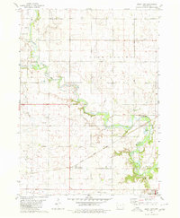
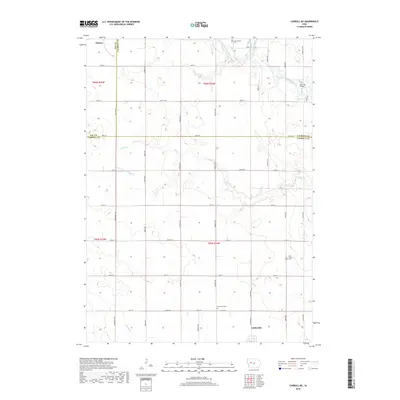
 1980 Breda1980 Print · USGSIn the early 1980s, the rural border of Carroll and Sac Counties maintained a landscape of steady agricultural life and evolving rail lines. Genealogists and historians can trace family locations through St Bernards Cem, the community at Mount Carmel, and the Old Railroad Grade.
 - 1980 Map of Grant City
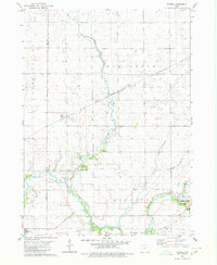
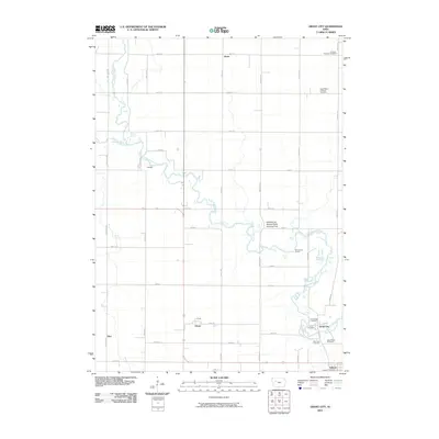
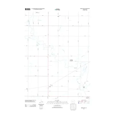
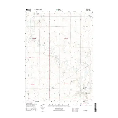
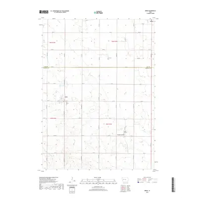
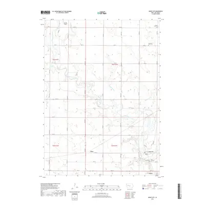
 1980 Grant City1980 Print · USGSSoutheastern Sac County in the early eighties is defined by the winding North Raccoon River and its surrounding agricultural plateaus. Researchers can trace the rail history of Ulmer or locate family plots at Emanuel Cem and Oak Lawn Cem.
 - 1980 Map of Carroll NE
 1980 Carroll NE1980 Print · USGSMid-century Iowa farm country unfolds across Carroll, Calhoun, and Sac counties as the eighties began. Researchers can trace the Chicago and North Western line to Lidderdale, find family plots at Cottonwood Cem, or locate the Flowing Well near the river.
 - 1980 Map of Yetter
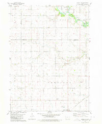
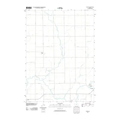
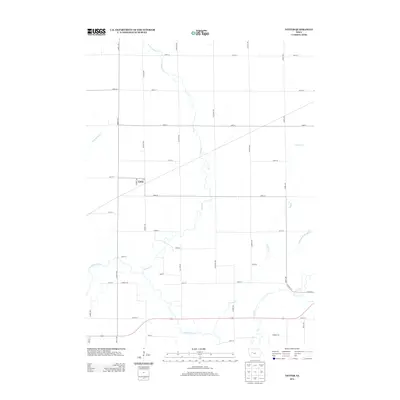
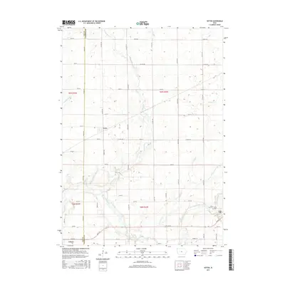
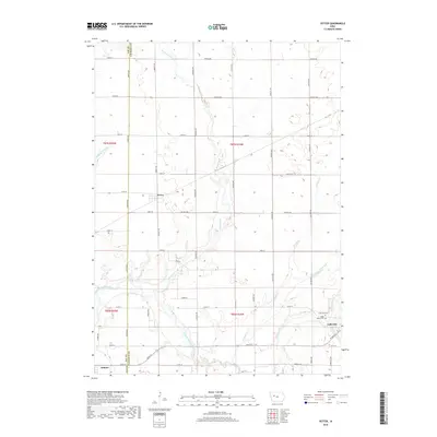
 1980 Yetter1980 Print · USGSWestern Calhoun County is shown here in the late seventies, a time when rail and river still dictated the local geography. Researchers can trace the path of the Illinois Central Gulf through Yetter or locate the historic Cottonwood Cem.
 - 1985 Map of Carroll
 1985 Carroll1985 Print · USGSWest-Central Iowa in the mid-eighties shows a landscape of highly engineered farmland and river-valley conservation. Researchers can trace the drainage patterns of Purgatory Creek or locate local landmarks like Dolliver Memorial State Park and the rail-junction town of Gowrie.
 - 1993 Map of Carroll
 1993 Carroll1993 Print · USGSCentral Iowa's river valleys and rail corridors are captured here in the early nineties, showing a landscape shaped by the Raccoon River and Des Moines River. Genealogists can trace family connections to the many county seats, from Sac City to Jefferson, and locate rural landmarks like Pilot Mound or North Twin Lake.
 - 2010 Map of Yetter, 2010 Print
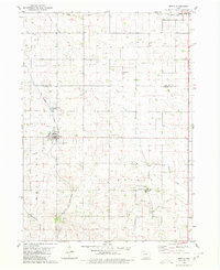
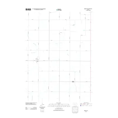
 2010 Yetter2010 Print · USGSCovers Auburn, including Lake City, Yetter, and other nearby areas
 - 2010 Map of Grant City, 2010 Print
 2010 Grant City2010 Print · USGSCovers Auburn, including Hart, Pettis, and other nearby areas
 - 2010 Map of Breda, 2010 Print
 2010 Breda2010 Print · USGSCovers Auburn, including Breda, Mount Carmel, and other nearby areas
 - 2010 Map of Carroll NE, 2010 Print
 2010 Carroll NE2010 Print · USGSCovers Auburn, including Lidderdale, Kentner, and other nearby areas
 - 2013 Map of Breda, 2013 Print
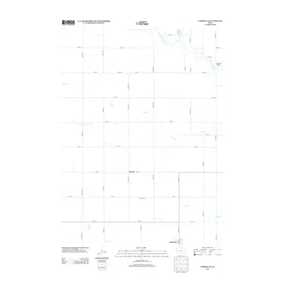
 2013 Breda2013 Print · USGSCovers Auburn, including Breda, Mount Carmel, and other nearby areas
 - 2013 Map of Yetter, 2013 Print
 2013 Yetter2013 Print · USGSCovers Auburn, including Lake City, Yetter, and other nearby areas
 - 2013 Map of Carroll NE, 2013 Print
 2013 Carroll NE2013 Print · USGSCovers Auburn, including Lidderdale, Kentner, and other nearby areas
 - 2013 Map of Grant City, 2013 Print
 2013 Grant City2013 Print · USGSCovers Auburn, including Hart, Pettis, and other nearby areas
 - 2015 Map of Yetter, 2015 Print
 2015 Yetter2015 Print · USGSCovers Auburn, including Lake City, Yetter, and other nearby areas
 - 2015 Map of Breda, 2015 Print
 2015 Breda2015 Print · USGSCovers Auburn, including Breda, Mount Carmel, and other nearby areas
 - 2015 Map of Grant City, 2015 Print
 2015 Grant City2015 Print · USGSCovers Auburn, including Hart, Pettis, and other nearby areas
 - 2015 Map of Carroll NE, 2015 Print
 2015 Carroll NE2015 Print · USGSCovers Auburn, including Lidderdale, Kentner, and other nearby areas
 - 2018 Map of Carroll NE, 2018 Print
 2018 Carroll NE2018 Print · USGSCovers Auburn, including Lidderdale, Kentner, and other nearby areas
 - 2018 Map of Yetter, 2018 Print
 2018 Yetter2018 Print · USGSCovers Auburn, including Lake City, Yetter, and other nearby areas
 - 2018 Map of Breda, 2018 Print
 2018 Breda2018 Print · USGSCovers Auburn, including Breda, Mount Carmel, and other nearby areas
 - 2018 Map of Grant City, 2018 Print
 2018 Grant City2018 Print · USGSCovers Auburn, including Hart, Pettis, and other nearby areas
Showing maps 1-25 of 29
Top cities near Auburn
- Carroll historical maps
- Sac City historical maps
- Lake City historical maps
- Glidden historical maps
- Lake View historical maps
- Wall Lake historical maps
See more
Frequently asked questions
- What are the different types of historical maps available for Auburn?
- What is the oldest map of Auburn?
- Where can I purchase historical maps of Auburn for my home or office?
- Where can I download high-res historical maps of Auburn?
- Are there historical topographic maps available for Auburn?
- Is there historical aerial imagery available for Auburn?
- Where are historical maps of Auburn sourced from?